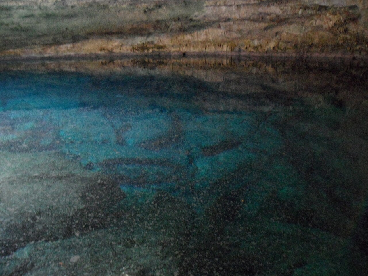
Ben's Cave
A collapse opening in Lucayan National Park that leads into the Lucayan Caverns. Guided cavern dives show a clear fresh-water layer over salt water, ancient formations and fossil shells; dives must be arranged with an authorised guide.
Ben's Cave is one of two inland blue holes in Lucayan National Park on the south coast of Grand Bahama, and is the entrance used for guided dives into the Lucayan Caverns. It formed where part of the cave roof collapsed, and it is named after Ben Rose, a Grand Bahama diver who explored the cavern after Father Underhill came across it in 1960 and told him about it.
Divers enter a large chamber where daylight still reaches. The water is layered: about 9 m of clear fresh water sits on top of salt water, and the boundary between them (the halocline) shimmers when disturbed. Stalactites, stalagmites and fossil conch and bivalve shells line the chamber, showing that it was once dry.
The Grand Bahama Museum notes that the tunnels running off Ben's Cave are true cave, beyond the reach of daylight, and are not part of the guided cavern visit. The cave is also a summer roost for bats, and the water is part of the island's drinking-water supply.
The environment
A daylight cavern in an anchialine cave: fresh water over salt water, a visible halocline, and calcite formations. Water depth in the entrance pool is about 18 m according to the Bahamas National Trust.
Conditions
The fresh-water top layer is part of the island's drinking-water lens, so the operator asks divers not to apply sunscreen or other skin products before the dive. Bats roost and breed in the park's caves in summer. Water temperature and visibility are not published by the park.
Typical ranges from published sources, not current conditions.
Facilities
Boardwalks and trails built during the park's early development (Bahamas National Trust).
For orientation, not navigation. Hollow dots are approximate.
Every fact on this page, with its source (12)
| Fact | Status | Source |
|---|---|---|
| Ben's Cave holds about 60 ft (18 m) of water. | Verified | [1] |
| The top roughly 30 ft (9 m) of water is fresh, over salt water, with a halocline between.Showcaves.com gives the halocline at about 10 m. | Verified | [1] [4] |
| Ben's Cave is named after Ben Rose, who explored the cavern after Father Underhill told him of it in 1960. | Reported | [2] [3] |
| The entrance formed where part of the cave roof collapsed, and the complex tunnels beyond the daylight zone are cave rather than cavern. | Reported | [2] |
| Divers must be accompanied by an authorised dive instructor, arranged before the dive date.Undated tourism-ministry listing. | Verified | [3] |
| The guiding operator accepts open-water-level certification for its Ben's Cave cavern dive.Provider claim; not a park rule. | Reported | [5] |
| Ben's Cave is inside Lucayan National Park, managed by the Bahamas National Trust. | Verified | [1] [3] |
| Park day passes cost USD 15 for adults (15-59), USD 8 for children (6-14) and USD 10 for seniors (60+), VAT inclusive; Trust members enter free.Bahamas National Trust page checked 2026-10-14. Showcaves.com lists USD 12 / 6 / 9 for 2026. | Sources conflict | [1] [4] |
| The park is listed as open Saturday and Sunday from 9 am to 4 pm.Both pages checked 2026-10-14; confirm before visiting. | Verified | [1] [4] |
| Boardwalks and trails were built by Operation Raleigh during the park's early development. | Verified | [1] |
| The operator asks divers to keep skin free of oils before the dive because the water is the island's drinking lens.Provider statement. | Reported | [5] |
| Showcaves.com places Ben's Cave at 26.605445, -78.401467.Public national park attraction with a published location. | Reported | [4] |
Verified: stated by an official or primary source we opened. Reported: from a secondary source only. Sources conflict: the note gives both versions. May be out of date: the newest source we found is old.
Written in our own words from the sources above. Report a correction