Entrada de cueva
King Pot
A technical pothole on the east side of Kingsdale whose downstream sumps were dived to Keld Head in the 1991 through-trip. Caving access is by courtesy call at Braida Garth; the CNCC warns only very capable parties should attempt it.
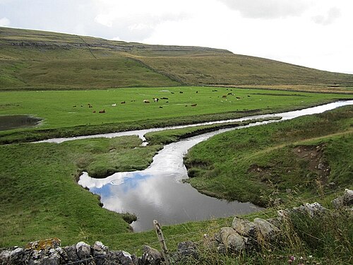
King Pot is a vertical cave (pothole) on access land on the east side of Kingsdale. In June 1991 a team led by Rupert Skorupka, diving downstream from King Pot, joined their line to that of divers working upstream from the Keld Head side, and in August 1991 the 3,000 m through-trip to Keld Head was completed.
Reaching the sumps requires serious dry caving first: the CNCC notes technical squeezes and advises that the trip be very thoroughly researched and attempted only by very capable parties.
El entorno
Dry vertical caving with technical squeezes leading to downstream sumps of the Kingsdale system.
Otras entradas a Kingsdale system (Keld Head)
Solo para orientación, no para navegación. Los puntos huecos son aproximados.
Cada dato de esta página, con su fuente (4)
| Dato | Estado | Fuente |
|---|---|---|
| A courtesy call at the landowner's farm is required; the cave is on access land.CNCC page updated 2026-06-01. | Verificado | [1] |
| Technical squeezes mean the trip should be very thoroughly researched and undertaken only by very capable parties. | Verificado | [1] |
| In June 1991 Rupert Skorupka's team, diving downstream from King Pot, joined lines with divers working upstream; the 3,000 m through-trip to Keld Head followed in August 1991. | Verificado | [2] |
| The CNCC gives SD 70790 77380 (about 54.191 N, 2.449 W) for King Pot.Given at area precision. | Verificado | [1] |
Verificado: declarado por una fuente oficial o primaria que consultamos directamente. Reportado: basado únicamente en una fuente secundaria. Fuentes en conflicto: la nota recoge ambas versiones. Puede estar desactualizado: la fuente más reciente que encontramos es antigua.
Redactado con nuestras propias palabras a partir de las fuentes anteriores. Reportar una corrección