Ingresso della grotta
King Pot
A technical pothole on the east side of Kingsdale whose downstream sumps were dived to Keld Head in the 1991 through-trip. Caving access is by courtesy call at Braida Garth; the CNCC warns only very capable parties should attempt it.
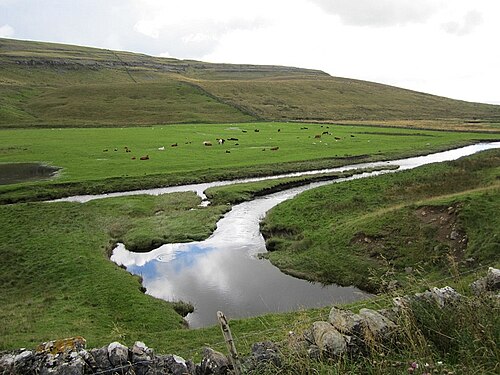
King Pot is a vertical cave (pothole) on access land on the east side of Kingsdale. In June 1991 a team led by Rupert Skorupka, diving downstream from King Pot, joined their line to that of divers working upstream from the Keld Head side, and in August 1991 the 3,000 m through-trip to Keld Head was completed.
Reaching the sumps requires serious dry caving first: the CNCC notes technical squeezes and advises that the trip be very thoroughly researched and attempted only by very capable parties.
L'ambiente
Dry vertical caving with technical squeezes leading to downstream sumps of the Kingsdale system.
Altri accessi a Kingsdale system (Keld Head)
Per orientamento, non per navigazione. I punti vuoti sono approssimativi.
Ogni informazione in questa pagina, con la relativa fonte (4)
| Informazione | Stato | Fonte |
|---|---|---|
| A courtesy call at the landowner's farm is required; the cave is on access land.CNCC page updated 2026-06-01. | Verificato | [1] |
| Technical squeezes mean the trip should be very thoroughly researched and undertaken only by very capable parties. | Verificato | [1] |
| In June 1991 Rupert Skorupka's team, diving downstream from King Pot, joined lines with divers working upstream; the 3,000 m through-trip to Keld Head followed in August 1991. | Verificato | [2] |
| The CNCC gives SD 70790 77380 (about 54.191 N, 2.449 W) for King Pot.Given at area precision. | Verificato | [1] |
Verificato: dichiarato da una fonte ufficiale o primaria che abbiamo consultato. Segnalato: da una fonte secondaria soltanto. Le fonti sono in contrasto: la nota riporta entrambe le versioni. Potrebbe essere non aggiornato: la fonte più recente che abbiamo trovato è datata.
Scritto con parole nostre dalle fonti indicate sopra. Segnala una correzione