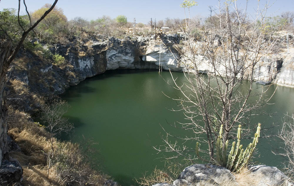
Lake Otjikoto
Type III: CMAS sinkhole type (as reported in 2009) [1] (Classification reported in a 2009 newspaper article; no current CMAS document was found to confirm it.). Diese Kategorien stammen aus dem genannten Schema; sie beschreiben die Ausbildung, die ein Tauchplatz erfordert.
A heritage sinkhole lake near Tsumeb whose 'underwater museum' of 1915 weapons lies at about 41-55 m. Diving has been limited to organised and authorised groups.
Divers enter Lake Otjikoto from its shore; in 2009 an entry ladder reached down to 6 m. Below, named features step down the wall from about 28 m, and the dumped weapons lie at roughly 45-55 m. One 2025 report says divers need to be qualified to at least 50 m to explore them.
The lake is a public heritage site where visitors pay to view it from the rim, but diving is not open to casual visitors. Earlier reports describe dives run through the Namibian Underwater Federation and authorised operators, and training use by police divers. Current diving arrangements should be confirmed with the National Heritage Council of Namibia.
Die Umgebung
Still, fresh water in a steep-sided sinkhole, about 22 C near the surface and 18 C lower down in 2009, with visibility up to about 15 m. Narrow caves lead off at depth.
Bedingungen
Temperature and visibility from 2009; the water level rose sharply after the 2025 rains.
Typische Wertebereiche aus veröffentlichten Quellen, keine aktuellen Bedingungen.
Zur Orientierung, nicht zur Navigation. Hohle Punkte sind ungefähre Angaben.
Alle Angaben auf dieser Seite mit Quellennachweis (8)
| Angabe | Status | Quelle |
|---|---|---|
| The dumped weapons and other features lie at about 28-55 m, including the armaments at 45-55 m. | Gemeldet | [1] [2] |
| In 2009 the entry ladder reached 6 m. | Möglicherweise veraltet | [1] |
| About 22 C near the surface and 18 C deeper, visibility up to 15 m (2009). | Möglicherweise veraltet | [1] |
| Divers must be qualified to 50 m or deeper to explore the underwater museum. | Gemeldet | [2] |
| In 2009 Lake Otjikoto was described as a Type III sinkhole under the CMAS classification. | Möglicherweise veraltet | [1] |
| Administered by the National Heritage Council of Namibia in 2017, with a viewing fee; diving limited to organised and authorised groups. | Möglicherweise veraltet | [3] [1] |
| In 2017 the site was open 08:00-17:00, Monday to Sunday.2017 newspaper report; re-check before use. | Möglicherweise veraltet | [3] |
| Area-level coordinates for a public heritage site beside the B1 road. | Gemeldet | [4] [2] |
Verifiziert: von einer offiziellen oder primären Quelle bestätigt, die wir geöffnet haben. Gemeldet: nur aus einer Sekundärquelle. Quellen widersprechen sich: Die Anmerkung enthält beide Versionen. Möglicherweise veraltet: Die neueste von uns gefundene Quelle ist alt.
In eigenen Worten aus den oben genannten Quellen verfasst. Korrektur melden