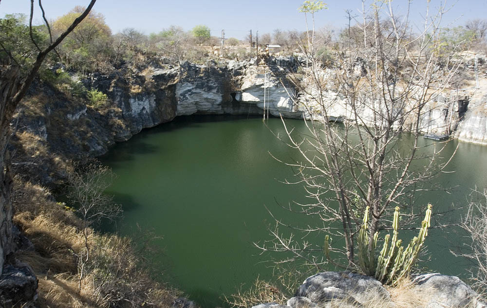
Lake Otjikoto
Type III: CMAS sinkhole type (as reported in 2009) [1] (Classification reported in a 2009 newspaper article; no current CMAS document was found to confirm it.). これらのカテゴリーは各認定スキームが定めたものであり、そのサイトで必要とされるトレーニングを示しています。
A heritage sinkhole lake near Tsumeb whose 'underwater museum' of 1915 weapons lies at about 41-55 m. Diving has been limited to organised and authorised groups.
Divers enter Lake Otjikoto from its shore; in 2009 an entry ladder reached down to 6 m. Below, named features step down the wall from about 28 m, and the dumped weapons lie at roughly 45-55 m. One 2025 report says divers need to be qualified to at least 50 m to explore them.
The lake is a public heritage site where visitors pay to view it from the rim, but diving is not open to casual visitors. Earlier reports describe dives run through the Namibian Underwater Federation and authorised operators, and training use by police divers. Current diving arrangements should be confirmed with the National Heritage Council of Namibia.
環境
Still, fresh water in a steep-sided sinkhole, about 22 C near the surface and 18 C lower down in 2009, with visibility up to about 15 m. Narrow caves lead off at depth.
コンディション
Temperature and visibility from 2009; the water level rose sharply after the 2025 rains.
公表資料からの一般的な範囲であり、現在のコンディションではありません。
方向確認用であり、ナビゲーション用ではありません。白抜きのドットはおおよその位置を示しています。
このページのすべての情報とその出典 (8)
| 情報 | ステータス | 出典 |
|---|---|---|
| The dumped weapons and other features lie at about 28-55 m, including the armaments at 45-55 m. | 報告済み | [1] [2] |
| In 2009 the entry ladder reached 6 m. | 情報が古い可能性があります | [1] |
| About 22 C near the surface and 18 C deeper, visibility up to 15 m (2009). | 情報が古い可能性があります | [1] |
| Divers must be qualified to 50 m or deeper to explore the underwater museum. | 報告済み | [2] |
| In 2009 Lake Otjikoto was described as a Type III sinkhole under the CMAS classification. | 情報が古い可能性があります | [1] |
| Administered by the National Heritage Council of Namibia in 2017, with a viewing fee; diving limited to organised and authorised groups. | 情報が古い可能性があります | [3] [1] |
| In 2017 the site was open 08:00-17:00, Monday to Sunday.2017 newspaper report; re-check before use. | 情報が古い可能性があります | [3] |
| Area-level coordinates for a public heritage site beside the B1 road. | 報告済み | [4] [2] |
確認済み:直接開いた公式または一次情報源による記載。報告ベース:二次情報源のみによるもの。情報が競合:注釈に両方のバージョンを記載。最新情報でない可能性あり:確認できた最新の情報源が古い。
上記のソースをもとに、独自の言葉でまとめています。 修正を報告する