Chinhoyi Caves
Deepest scuba depth cited by ZimParks; the pool's true depth is unknown (estimates exceed 171 m). A 2016 guide repeats an unverified report of 135 m and gives 80-91 m for the main section.
Zimbabwe's most extensive cave system, a limestone and dolomite karst in a ZimParks recreational park. Its collapsed sinkhole holds the Sleeping Pool, a deep, clear pool at a steady 22-24 C, dived through Zimbabwe-registered clubs and centres.
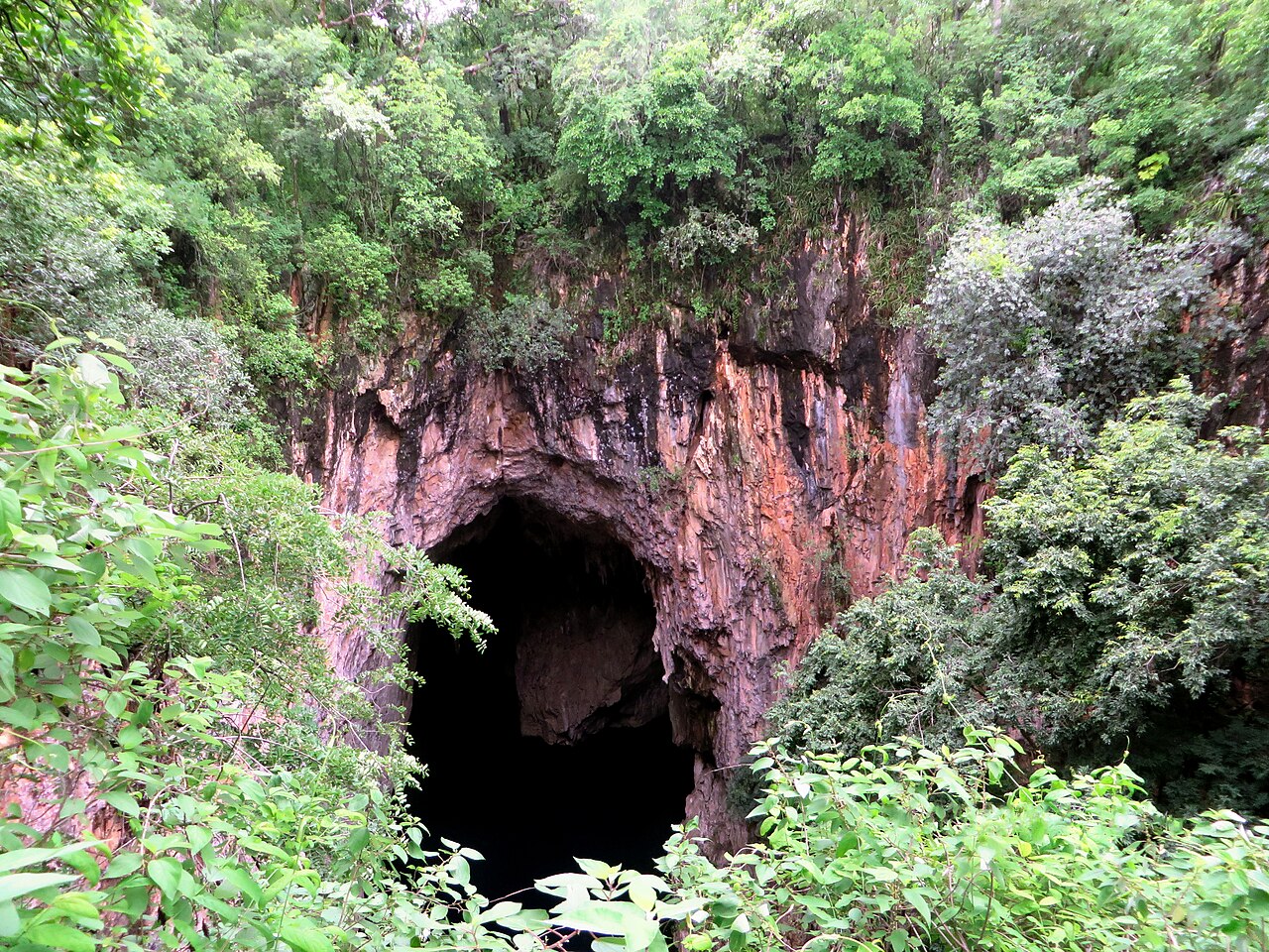
Chinhoyi Caves lie beside the Harare-Chirundu road, about 9 km past the town of Chinhoyi, in a small recreational park run by the Zimbabwe Parks and Wildlife Management Authority (ZimParks). The caves are a karst system in limestone and dolomite; a sinkhole drops to the Sleeping Pool, known locally as Chirorodziva, 'Pool of the fallen'.
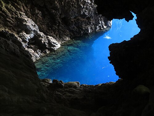
The pool's water is a vivid blue and very clear. PADI describes temperatures that stay between about 22 and 24 C all year with no thermocline (a sharp temperature boundary), and visibility often of 50 m or more. Tunnels lead off from the Sleeping Pool and from the Dark Cave.
The pool's full depth is not known. ZimParks cites estimates of well over 171 m and a scuba depth of 103 m reached by one group; other publications give 80-91 m for the main section and repeat an unverified report of 135 m.
The site is both protected and sacred. It became a National Park in 1955, a Recreational Park in 1975 and a Ramsar wetland of international importance in 2013, and spirit mediums visit the caves for ancestral ceremonies. Diving is listed as a paid activity on ZimParks' booking system, and PADI says divers must go with a Zimbabwe-registered dive club or centre.
Geologie
A karst cave system in limestone and dolomite, the most extensive known in Zimbabwe. A sinkhole drops to the water of the Sleeping Pool, and tunnels lead off the pool and the Dark Cave.
Wasser, Strömung und Überflutung
The Sleeping Pool is reported to stay at about 22-24 C throughout the year with no thermocline and very high clarity; its full depth and the extent of the flooded tunnels are not known.
Warum es wichtig ist
Chinhoyi Caves is a Ramsar wetland (designated May 2013) and a culturally important site: the name Chirorodziva recalls an 1830 incident, the caves sheltered local communities, and spirit mediums still hold ceremonies there.
Bedingungen
Reported to stay about 22-24 C year-round with no thermocline; visibility often 50 m or more.
Typische Wertebereiche aus veröffentlichten Quellen, keine aktuellen Bedingungen.
Kartierungs- und Erkundungsgeschichte
| 1955 | The site was designated a National Park. [1] |
| 1975 | The site was designated a Recreational Park. [1] |
| 2013-05 | Chinhoyi Caves was designated a Ramsar Wetland. [1] |
Zugänge und Tauchplätze
The Sleeping Pool is reached from inside the publicly accessible park; ZimParks also describes the Dark Caves. Only the Sleeping Pool is documented as a dive entry.
Zur Orientierung, nicht zur Navigation. Hohle Punkte sind ungefähre Angaben.
Alle Angaben auf dieser Seite mit Quellennachweis (12)
| Angabe | Status | Quelle |
|---|---|---|
| Chinhoyi Caves Recreational Park is in Makonde District, Mashonaland West Province. | Verifiziert | [1] |
| The caves are about 9 km past Chinhoyi town on the Harare-Chirundu road, about 115-135 km from Harare. | Gemeldet | [2] [3] |
| Area-level coordinates rounded from the published location of the park beside the Harare-Chirundu road. | Gemeldet | [3] [1] |
| Chinhoyi Caves is the most extensive cave system in Zimbabwe, a karst system of limestone and dolomite containing the Sleeping Pool (Chirorodziva). | Verifiziert | [1] |
| The site was designated a National Park in 1955, a Recreational Park in 1975 and a Ramsar Wetland in May 2013; the park covers about 1.2 square kilometres next to about 8.6 square kilometres of protected state land. | Verifiziert | [1] |
| ZimParks says the depth of the Sleeping Pool is not precisely known, with some estimates well over 171 m, and that one group reached 103 m on scuba.A 2016 guide repeats an unverified report that US Navy divers reached 135 m and gives 80-91 m for the main section of the pool. | Quellen widersprechen sich | [1] |
| The drop from the rim to the water is given as about 20 m by PADI and as 150 feet (about 46 m) by the Zimbabwe Tourism Authority. | Quellen widersprechen sich | [4] [5] |
| Water stays at about 22-24 C with no thermocline, and visibility is often 50 m or more. | Gemeldet | [4] |
| Tunnels lead off the Sleeping Pool and the Dark Cave. | Gemeldet | [2] |
| The name Chirorodziva means 'Pool of the fallen' and refers to an 1830 incident; spirit mediums visit the caves for ancestral ceremonies. | Verifiziert | [1] |
| ZimParks' booking system lists 'Diving' at Chinhoyi Caves as a 30-minute activity at USD 30.Undated booking page, viewed 2026-10-14. | Verifiziert | [6] |
| PADI states that diving is allowed only with a Zimbabwean registered dive club or centre.Rule stated by PADI and a 2016 guide, not found on a ZimParks page. | Gemeldet | [4] [2] |
Verifiziert: von einer offiziellen oder primären Quelle bestätigt, die wir geöffnet haben. Gemeldet: nur aus einer Sekundärquelle. Quellen widersprechen sich: Die Anmerkung enthält beide Versionen. Möglicherweise veraltet: Die neueste von uns gefundene Quelle ist alt.
In eigenen Worten aus den oben genannten Quellen verfasst. Korrektur melden