Grotte del Bue Marino
Approximate length of the sea caves (two main branches) given by SardegnaTurismo, undated. The same page places them in the Codula di Luna system of about 70 km. Survey team and date not given.
Large coastal caves in the cliffs of the Gulf of Orosei near Cala Gonone, named after the Mediterranean monk seal, where sea water meets underground freshwater rivers. The regional tourism office places them in the Codula di Luna karst system, about 70 km long.
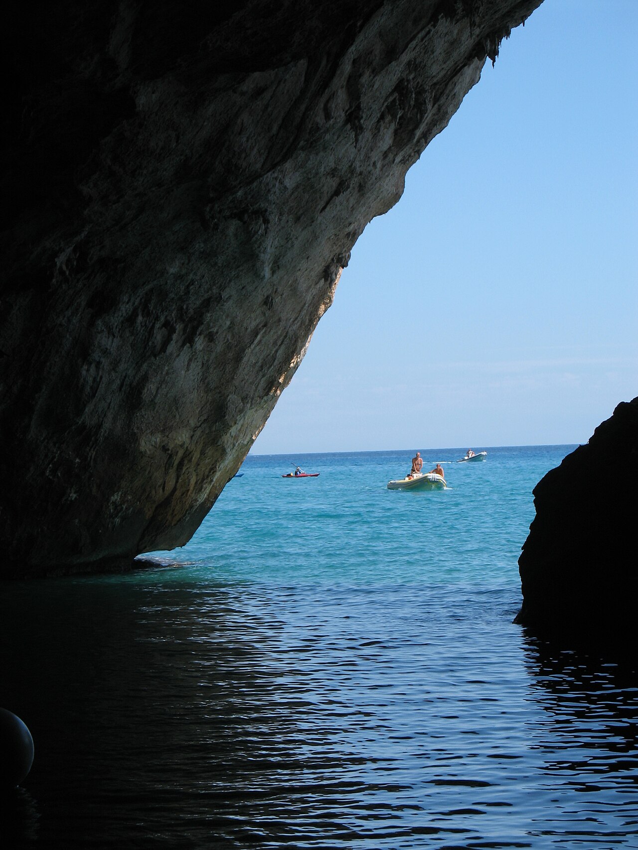
The Grotte del Bue Marino open at sea level in the limestone cliffs of the Gulf of Orosei, about 3 km from Cala Luna, through a large double-arched entrance. Their name comes from the local word for the Mediterranean monk seal, which once bred on an inner beach.
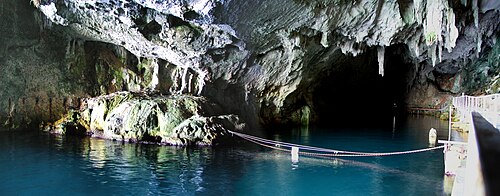
According to the Sardinian regional tourism office the sea caves total about 15 km in two main branches. The northern branch is a fossil passage and is closed to visitors; the southern branch has an illuminated walkway of about 900 m, while the remaining kilometres are open only to cavers. Sea water enters the large gallery, and freshwater pools fed by underground rivers alternate with small sandy beaches.
The tourism office describes the caves as part of the Codula di Luna karst system, which it calls the largest in Italy with some 70 km of passages under the Supramonte. Beyond the show-cave section, the flooded branches are the domain of expedition cave divers.
A Cala Gonone dive centre offers a technical dive in the Bue Marino from the sea, describing a vast underwater cavern system with three main passages at 10 to 15 m and requiring full cave certification.
ProTec Sardinia, another Cala Gonone centre, describes a dive that starts at the large sea entrance in very shallow water (about 1.5 m), surfaces in a big chamber with old tourist walkways, then passes under a bridge to the cave entrance proper, where fresh water flowing out creates a halocline and the depth reaches about 15 m. Several sumps follow, some short and some kilometres long; the centre reports having laid more than 2 km of line in a newly found passage that descends to about 40 m.
Acqua, corrente e allagamenti
Sea water penetrates the main gallery while underground rivers feed freshwater lakes inside, creating a mixing zone between fresh and salt water.
Perché è importante
A well-known show cave and former monk seal refuge, part of one of Italy's largest karst systems, with Neolithic rock engravings noted by the regional tourism office.
Accessi e siti di immersione
The caves open at sea level in the cliffs and are reached by boat; the show-cave section is entered through a gate from a boat landing.
Ogni informazione in questa pagina, con la relativa fonte (9)
| Informazione | Stato | Fonte |
|---|---|---|
| The sea caves are about 15 km long in total, divided into two main branches.Official tourism page, undated; no survey reference given. | Segnalato | [1] |
| The caves belong to the Codula di Luna karst system, described as the largest in Italy with about 70 km of tunnels. | Segnalato | [1] |
| The southern branch has equipped and lit paths for about 900 m; cavers may explore the remaining four of its five kilometres; the northern fossil branch is not accessible. | Verificato | [1] |
| The boat operator states the visitable part extends for about 1 km, mostly on a steel walkway, and that visits are guided. | Segnalato | [3] |
| Sea water enters the large gallery and freshwater pools fed by underground rivers appear between small sandy beaches. | Verificato | [1] |
| The dive centre describes the Bue Marino as a purely technical dive at 10-15 m requiring TDI Full Cave Diver or equivalent.Operator requirement, not an official rule. | Segnalato | [2] |
| Entry to the show cave is paid and the caves are reached by boat from ports including Cala Gonone. | Verificato | [1] |
| ProTec Sardinia reports laying more than 2 km of guideline in a new passage of the Bue Marino that descends to about 40 m, with the cave continuing.Provider statement; no survey publication found. | Segnalato | [4] |
| Fresh water pushing out of the cave creates a halocline near the entrance, where depth reaches about 15 m. | Segnalato | [4] |
Verificato: dichiarato da una fonte ufficiale o primaria che abbiamo consultato. Segnalato: da una fonte secondaria soltanto. Le fonti sono in contrasto: la nota riporta entrambe le versioni. Potrebbe essere non aggiornato: la fonte più recente che abbiamo trovato è datata.
Scritto con parole nostre dalle fonti indicate sopra. Segnala una correzione