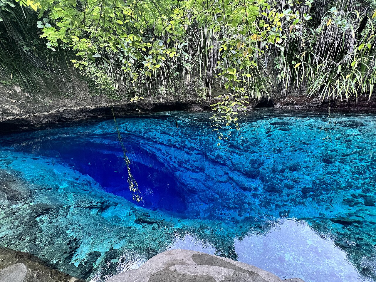
Hinatuan Enchanted River Underwater Cave System
A short river in Mindanao that rises from an underwater cave entrance about 30 m deep, forms a spring pool and flows roughly 1 km to the sea. Tides and a halocline strongly affect conditions in the cave.
The Enchanted River in Hinatuan, Surigao del Sur, begins at an underwater cave entrance about 30 m below the surface of a spring pool and runs about one kilometre to the sea. The pool is a major tourist attraction, drawing more than a thousand mostly swimming visitors on busy weekends according to the Filipino Cave Divers (FCD), a volunteer group that has run expeditions there since at least 2013.
FCD expedition reports describe conditions that change with the tide. On one 2013 dive at high tide the team met seawater, a slight inward current and very poor visibility down to a halocline (a sharp boundary between fresh and salt water) at 33 m, below which the water was clear; on a dive at a different tide state there was no current and very clear water. The group notes that the cave cannot be entered near its peak outflow and reported a partial ceiling collapse in 2013.
The municipality owns 27 hectares around the river and has declared it an eco-tourism area; FCD planned a source assessment with the University of San Carlos, DENR and GIZ in 2015 and published a biophysical survey in 2016.
Air, arus, dan banjir
Spring-fed river with a strong tidal influence: FCD divers recorded inward currents and seawater at high tide and a halocline at 33 m, and they warn that the cave is impassable near peak outflow.
Mengapa ini penting
One of the best-known underwater caves in the Philippines and the subject of the FCD's first scientific report, a biophysical survey funded by GIZ with the University of San Carlos.
Sejarah survei dan eksplorasi
| 2013-08 | FCD Expedition V re-dived the cave to the end of the permanent line and documented a recent ceiling collapse. [2] |
| 2015-03 | FCD, the University of San Carlos, DENR-BMB and GIZ planned a rapid source assessment and mapping of the system. [1] |
| 2016-09 | FCD published a biophysical survey of the Enchanted River. [3] |
Pintu masuk dan lokasi selam
One known entrance, an underwater opening at about 30 m in the spring pool.
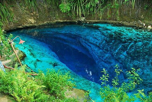
Untuk orientasi, bukan navigasi. Titik kosong menunjukkan posisi perkiraan.
Setiap fakta di halaman ini, beserta sumbernya (7)
| Fakta | Status | Sumber |
|---|---|---|
| The river starts from an underwater cave entrance at 30 m depth, forms a spring pool and flows about 1,000 m to the sea.Volunteer survey group's assessment plan. | Dilaporkan | [1] |
| On a high-tide dive in August 2013 divers met seawater, a slight inward current and very poor visibility until a halocline at 33 m; a dive at another tide state had no current and very clear water.Single expedition's observations. | Dilaporkan | [2] |
| The cave is impenetrable at or near peak outflow. | Dilaporkan | [2] |
| The Hinatuan local government acquired 27 hectares around the river and adopted an ordinance declaring it an eco-tourism area; weekend crowds exceed 1,000 people, mostly swimmers.As of March 2015; no current dive access rules were found. | Dilaporkan | [1] |
| The biophysical survey was funded by GIZ under its PAME project with the University of San Carlos Department of Biology. | Dilaporkan | [3] |
| FCD gives the location as 8.458886 N, 126.354667 E.Public tourist site. | Dilaporkan | [1] |
| FCD gives the location as 8.458886 N, 126.354667 E.Public tourist site. | Dilaporkan | [1] |
Terverifikasi: dinyatakan oleh sumber resmi atau sumber primer yang kami buka langsung. Dilaporkan: hanya dari sumber sekunder. Sumber berbeda pendapat: catatan menyajikan kedua versi. Mungkin sudah kedaluwarsa: sumber terbaru yang kami temukan sudah lama.
Ditulis dengan kata-kata kami sendiri berdasarkan sumber di atas. Laporkan koreksi