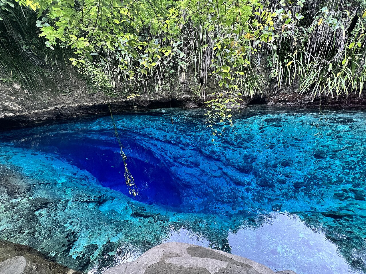
Hinatuan Enchanted River Underwater Cave System
A short river in Mindanao that rises from an underwater cave entrance about 30 m deep, forms a spring pool and flows roughly 1 km to the sea. Tides and a halocline strongly affect conditions in the cave.
The Enchanted River in Hinatuan, Surigao del Sur, begins at an underwater cave entrance about 30 m below the surface of a spring pool and runs about one kilometre to the sea. The pool is a major tourist attraction, drawing more than a thousand mostly swimming visitors on busy weekends according to the Filipino Cave Divers (FCD), a volunteer group that has run expeditions there since at least 2013.
FCD expedition reports describe conditions that change with the tide. On one 2013 dive at high tide the team met seawater, a slight inward current and very poor visibility down to a halocline (a sharp boundary between fresh and salt water) at 33 m, below which the water was clear; on a dive at a different tide state there was no current and very clear water. The group notes that the cave cannot be entered near its peak outflow and reported a partial ceiling collapse in 2013.
The municipality owns 27 hectares around the river and has declared it an eco-tourism area; FCD planned a source assessment with the University of San Carlos, DENR and GIZ in 2015 and published a biophysical survey in 2016.
수질, 유속 및 침수
Spring-fed river with a strong tidal influence: FCD divers recorded inward currents and seawater at high tide and a halocline at 33 m, and they warn that the cave is impassable near peak outflow.
왜 중요한가
One of the best-known underwater caves in the Philippines and the subject of the FCD's first scientific report, a biophysical survey funded by GIZ with the University of San Carlos.
서베이 및 탐사 역사
| 2013-08 | FCD Expedition V re-dived the cave to the end of the permanent line and documented a recent ceiling collapse. [2] |
| 2015-03 | FCD, the University of San Carlos, DENR-BMB and GIZ planned a rapid source assessment and mapping of the system. [1] |
| 2016-09 | FCD published a biophysical survey of the Enchanted River. [3] |
입구 및 다이브 사이트
One known entrance, an underwater opening at about 30 m in the spring pool.
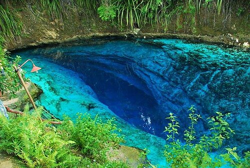
방향 파악용이며 내비게이션용이 아닙니다. 빈 점은 대략적인 위치입니다.
이 페이지의 모든 정보와 출처 (7)
| 정보 항목 | 상태 | 출처 |
|---|---|---|
| The river starts from an underwater cave entrance at 30 m depth, forms a spring pool and flows about 1,000 m to the sea.Volunteer survey group's assessment plan. | 보고됨 | [1] |
| On a high-tide dive in August 2013 divers met seawater, a slight inward current and very poor visibility until a halocline at 33 m; a dive at another tide state had no current and very clear water.Single expedition's observations. | 보고됨 | [2] |
| The cave is impenetrable at or near peak outflow. | 보고됨 | [2] |
| The Hinatuan local government acquired 27 hectares around the river and adopted an ordinance declaring it an eco-tourism area; weekend crowds exceed 1,000 people, mostly swimmers.As of March 2015; no current dive access rules were found. | 보고됨 | [1] |
| The biophysical survey was funded by GIZ under its PAME project with the University of San Carlos Department of Biology. | 보고됨 | [3] |
| FCD gives the location as 8.458886 N, 126.354667 E.Public tourist site. | 보고됨 | [1] |
| FCD gives the location as 8.458886 N, 126.354667 E.Public tourist site. | 보고됨 | [1] |
확인됨: 직접 열람한 공식 또는 1차 출처에서 명시된 정보입니다. 보고됨: 2차 출처에서만 확인된 정보입니다. 출처 간 상충: 비고에 두 가지 내용이 모두 기재되어 있습니다. 최신 정보가 아닐 수 있음: 확인된 가장 최근 출처가 오래된 경우입니다.
위의 출처를 바탕으로 자체적으로 작성했습니다. 수정 사항 제보