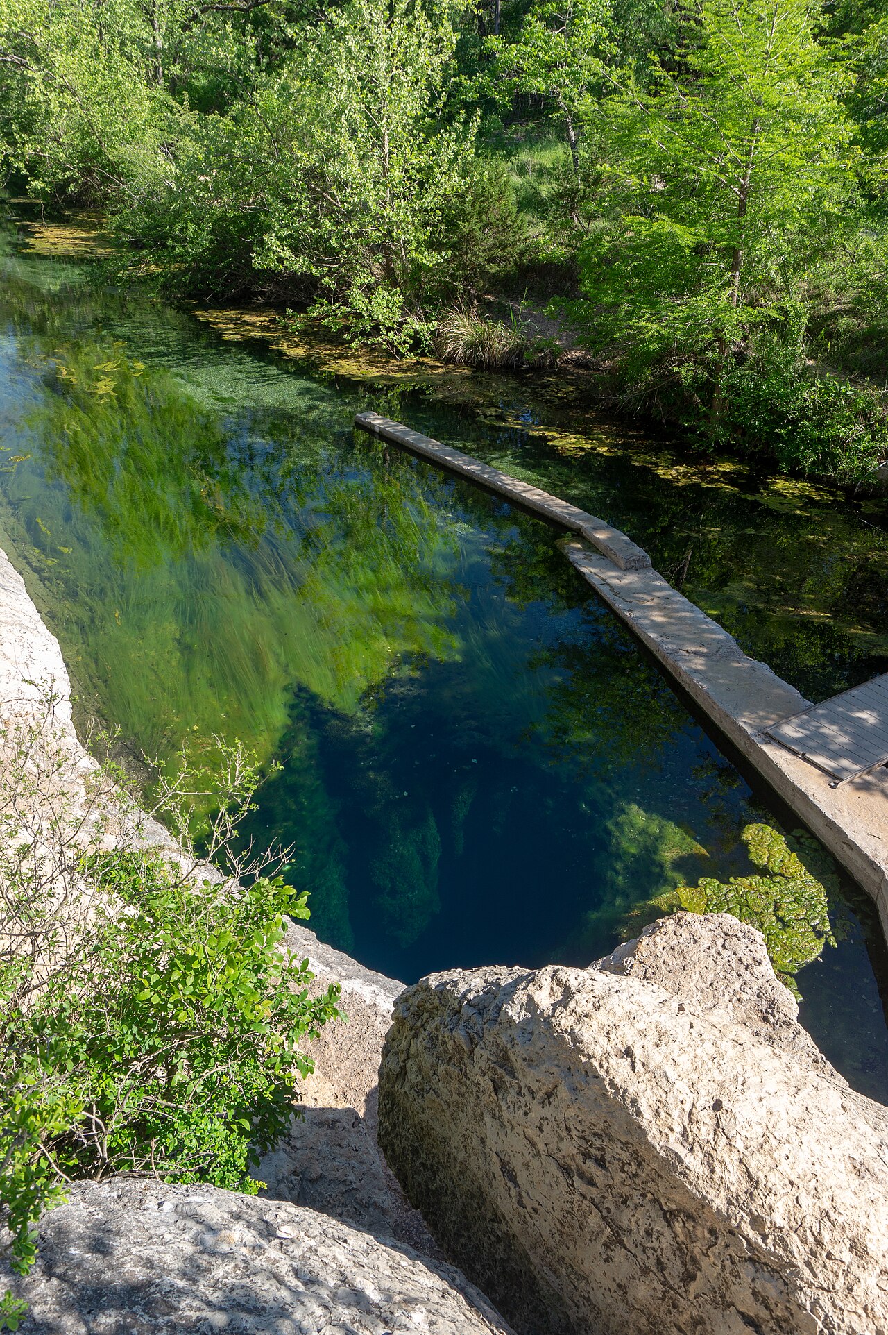
Jacob's Well cave
About 6,000 feet of surveyed underwater passage by the Jacob's Well Exploration Project (Hays County page; also given as 'more than 6,000 feet'). The page is undated. Maximum depth of 137 feet reported by the Jacob's Well Exploration Project via Hays County.
An artesian spring cave in the Texas Hill Country, mapped to more than 6,000 feet and 137 feet deep by the volunteer Jacob's Well Exploration Project; closed to recreational scuba diving.
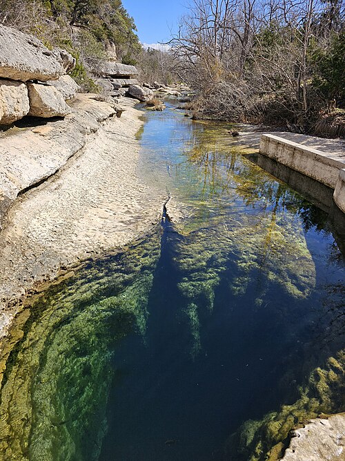
Jacob's Well is an artesian spring that rises from the Trinity Aquifer and forms the headwaters of Cypress Creek in Wimberley, Texas. Since 2010 it has been protected within the 81-acre Jacob's Well Natural Area, run by Hays County. The spring mouth is a well-known swimming hole, and beneath it a submerged cave extends into the limestone.
Recreational scuba diving at Jacob's Well led to at least eight deaths between 1960 and 1985. After a near-fatal recovery attempt in 1985, the local diving community spread warnings and recreational scuba diving stopped. Hays County's park rules now prohibit scuba diving.
Research diving by trained cave divers began in 2000 through a project with the Wimberley Valley Watershed Association and the San Marcos Area Rescue Team. Systematic survey followed from 2004, and the volunteer Jacob's Well Exploration Project was formally created in 2007. The project has mapped about 6,000 feet of passage to a maximum depth of 137 feet, making Jacob's Well the longest cave in Hays County and the second-longest fully submerged cave in Texas.
The spring is also a measure of the aquifer's health. Normal flow is around 2 million gallons a day, but drought since 2022 has cut it sharply; swimming has been closed since June 2022 to protect water quality, and the county confirmed on 2026-10-01 that swimming remains cancelled until further notice.
Вода, течение и паводки
An artesian spring from the Trinity Aquifer with a normal flow of about 2 million gallons per day. Flow has been far below normal since 2022 because of prolonged drought and increased groundwater pumping, according to Hays County.
Почему это важно
Longest cave in Hays County and the second-longest fully submerged cave in Texas, according to the Jacob's Well Exploration Project survey as reported by the county.
История картирования и исследований
| 1985 | After drownings and a near-fatal recovery attempt, recreational scuba diving at Jacob's Well halted. [2] |
| 2000 | Research dives by trained cave divers began, in a project with the Wimberley Valley Watershed Association and the San Marcos Area Rescue Team. [2] |
| 2004 | Teams began surveying and mapping the submerged cave. [2] |
| 2007 | The Jacob's Well Exploration Project was formally created by volunteer cave divers. [2] |
| 2010 | Jacob's Well Natural Area was established. [1] |
Входы и дайв-сайты
One entrance, the spring mouth inside Jacob's Well Natural Area. The project reports that all currently accessible areas have been surveyed.
Для общей ориентации, не для навигации. Незакрашенные точки обозначают приблизительное положение.
Каждый факт на этой странице с указанием источника (12)
| Факт | Статус | Источник |
|---|---|---|
| Cave divers with the Jacob's Well Exploration Project have mapped more than 6,000 feet of underwater passage.6,000 ft is about 1,829 m; the same page also says 'approximately 6,000 feet'. | Подтверждено | [2] |
| The mapped cave reaches a maximum depth of 137 feet.About 41.8 m. | Подтверждено | [2] |
| The survey shows Jacob's Well to be the longest cave in Hays County and the second-longest fully submerged cave in Texas. | Подтверждено | [2] |
| At least eight people died diving in Jacob's Well between 1960 and 1985, after which recreational scuba diving halted. | Подтверждено | [2] |
| Research dives began in 2000 with the Wimberley Valley Watershed Association and the San Marcos Area Rescue Team; surveying was under way by 2004 and the Jacob's Well Exploration Project was formally created in 2007. | Подтверждено | [2] |
| Jacob's Well Natural Area rules include 'No SCUBA diving'.Read 2026-10-14. | Подтверждено | [1] |
| An announcement updated 2026-10-01 says swimming at Jacob's Well is cancelled until further notice and the natural area is open for hiking only; swimming has been closed since June 2022 because of abnormally low flow. | Подтверждено | [1] |
| Jacob's Well flows from the Trinity Aquifer with a normal rate of about 2 million gallons per day, much lower since the drought that began in 2022. | Подтверждено | [2] |
| The natural area is open daily 8:00am to 6:00pm with no entry after 5:30pm. | Подтверждено | [1] |
| Jacob's Well Natural Area, 81 acres, was established in 2010. | Подтверждено | [1] |
| USGS lists Jacobs Well Spring near Wimberley (site 08170990) near latitude 30.034; rounded to area precision.Area precision because the cave is closed to diving. | Подтверждено | [3] |
| USGS lists Jacobs Well Spring near longitude -98.126; rounded to area precision. | Подтверждено | [3] |
Подтверждено: указано официальным или первичным источником, который мы открывали. Сообщается: только из вторичного источника. Источники расходятся: в примечании приведены обе версии. Может устареть: самый свежий найденный нами источник датирован давно.
Написано нашими словами на основе приведённых выше источников. Сообщить об ошибке