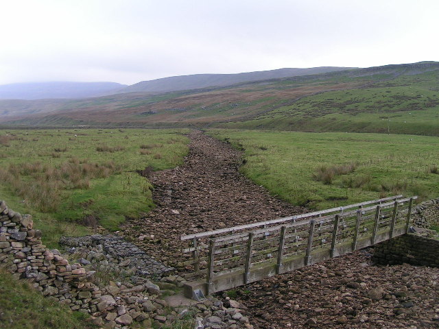
Kingsdale system (Keld Head)
No total surveyed length was found in the sources opened. The 1991 through-trip between King Pot and Keld Head was about 3,000 m.
The flooded resurgence of Kingsdale in the Yorkshire Dales and the caves that feed it, scene of landmark British sump dives including a 3,000 m King Pot to Keld Head through-trip in 1991. Access to Keld Head is by landowner permission and is sensitive.
Keld Head is the resurgence (the spring where an underground river returns to the surface) at the foot of Kingsdale, a valley near Ingleton in the Yorkshire Dales. Behind it lie long flooded passages that connect upstream to Kingsdale Master Cave on the west side of the valley and to King Pot on the east side.
The system has a long and sometimes tragic diving history recorded by the Cave Diving Group (CDG). Alan Erith died in Keld Head in 1970. In 1978 the German diver Jochen Hasenmayer set a European sump-penetration record there, and in 1979 a through-dive linked Keld Head with Kingsdale Master Cave. From 1990 John Cordingley's identification of a possible link to East Kingsdale started a major project: in June 1991 Rupert Skorupka's team, working downstream from King Pot, joined lines with divers working upstream, and in August 1991 a 3,000 m through-trip between King Pot and Keld Head was completed.
Exploration continues. In 2013 Cordingley extended Keld Head to within 300 m of Large Pot, and CDG divers are working towards a link with Marble Steps Pot that could eventually join the Three Counties System.
The dry entrances are on farmland and access land managed through local arrangements published by the Council of Northern Caving Clubs (CNCC). Keld Head itself is not on access land, and the CNCC warns of major access difficulties in recent years.
Por que isso importa
One of the classic long sump systems of British cave diving; the 1991 King Pot–Keld Head through-trip of 3,000 m is highlighted by the CDG.
Histórico de levantamento topográfico e exploração
| 1970 | Alan Erith dies in Keld Head. [1] |
| 1978 | Jochen Hasenmayer sets a European sump-penetration record at Keld Head. [1] |
| 1979 | A through-dive connects Keld Head and Kingsdale Master Cave. [1] |
| 1991-06 | Rupert Skorupka's team, diving downstream from King Pot, joins lines with divers working upstream. [2] |
| 1991-08 | A 3,000 m through-trip between King Pot and Keld Head is completed. [2] |
| 2013 | John Cordingley extends Keld Head to within 300 m of Large Pot. [2] |
Entradas e pontos de mergulho
Documented entrances include Keld Head (the diving resurgence, permission required via the farm at Braida Garth), Valley Entrance to Kingsdale Master Cave (no permission required, on access land) and King Pot (courtesy call at Braida Garth, on access land; technical squeezes).
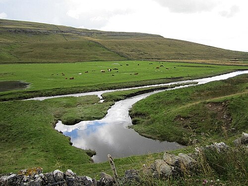
Para orientação, não para navegação. Pontos vazados marcam posições aproximadas.
Cada informação desta página, com sua fonte (8)
| Informação | Status | Fonte |
|---|---|---|
| In August 1991 a 3,000 m through-trip between King Pot and Keld Head was completed, after lines from both ends were joined in June 1991. | Verificado | [2] |
| Alan Erith died in Keld Head in 1970; Jochen Hasenmayer set a European sump-penetration record there in 1978; a 1979 through-dive linked Keld Head and Kingsdale Master Cave. | Verificado | [1] |
| In 2013 John Cordingley extended Keld Head to within 300 m of Large Pot, and work continues towards Marble Steps Pot and the Three Counties System. | Verificado | [2] |
| Keld Head is not on access land; a courtesy call at Braida Garth farm is required, permission may be refused, and visitors should consult local CDG members and carry CDG membership cards.CNCC page last updated 2023-01-15. | Verificado | [3] |
| Valley Entrance needs no permission and is on access land.CNCC page updated 2026-04-14. | Verificado | [4] |
| King Pot requires a courtesy call at the farm and is on access land; technical squeezes mean only very capable parties should attempt it.CNCC page updated 2026-06-01. | Verificado | [5] |
| Keld Head is at grid reference SD 696766 (about 54.184 N, 2.467 W).Rounded to area precision because access is permission-only. | Verificado | [3] |
| For Keld Head the CNCC asks visitors to consult local CDG members and carry CDG membership cards to show if asked.CNCC page updated 2023-01-15. | Verificado | [3] |
Verificado: declarado por uma fonte oficial ou primária que consultamos. Relatado: proveniente apenas de uma fonte secundária. Fontes divergem: a nota apresenta as duas versões. Pode estar desatualizado: a fonte mais recente que encontramos é antiga.
Escrito com nossas próprias palavras a partir das fontes acima. Reportar uma correção