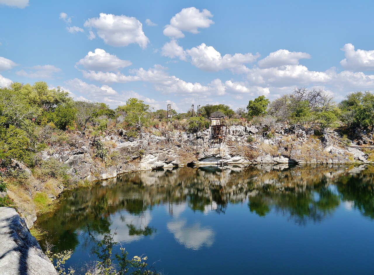
Lake Otjikoto
Depth is uncertain: published figures run from about 100 m to over 142 m, with a reported dive to 145 m that did not find the bottom. No single figure is given here.
A collapsed-cave sinkhole lake beside the main road north-west of Tsumeb, a national monument since 1972. Weapons dumped in 1915 lie at about 41-55 m, and diving has been controlled through clubs and authorised operators.
Lake Otjikoto is a round sinkhole lake about 20 km north-west of Tsumeb, roughly 100 m from the B1 road to Etosha. It formed when the roof of a cave in the karst rock collapsed, leaving a steep-sided pool about 100 m across.
Its best-known feature is historical. In 1915, as German colonial forces surrendered to Union troops, they dumped guns, ammunition and wagons into the lake. Many pieces were recovered over the following decades and are shown in museums in Tsumeb and Windhoek, but material remaining on ledges at about 41-55 m is described as an 'underwater museum'.
The true depth is uncertain. Published figures range from about 100 m to more than 142 m, and divers have reported reaching 145 m without finding a floor; reports describe narrow caves leading off at depth. A 2009 article gave water temperatures of about 22 C near the surface and 18 C deeper, with visibility up to 15 m on good days.
The lake is a national heritage site. In 2009 diving was managed by the Namibian Underwater Federation for the national monuments body and limited to people accompanied by its members through three named organisations; by 2017 the site was administered by the National Heritage Council of Namibia and used by police and school divers for training. No current official statement of diving rules was found.
Geology
Otjikoto is a collapse sinkhole: a cave dissolved in carbonate rock lost its roof, leaving an open, water-filled shaft whose walls continue into narrower caves at depth.
Water, flow and flooding
The water level varies with rainfall; in early 2025 the lake was reported to have reached its saturation point for the first time in almost five decades. A 2009 report gave about 22 C at the surface and 18 C deeper, with no current.
Why it matters
The lake is a national monument and holds First World War-era weapons dumped in 1915. It also hosts the critically endangered Guinas tilapia (Tilapia guinasana), which was introduced from Lake Guinas.
Conditions
Figures from 2009: about 22 C near the surface, 18 C lower down, visibility up to 15 m on good days, no current. Water level rises after wet seasons.
Typical ranges from published sources, not current conditions.
Survey and exploration history
| 1915 | German forces dumped weapons and ammunition into the lake while surrendering. [2] [1] |
| 1972 | The lake was declared a national monument. [2] |
| 2024-06 | A visiting German cave-diving team dived the lake with Namibian divers. [1] |
Entrances and dive sites
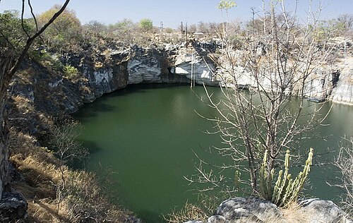
An open-air sinkhole with a single shoreline; an entry ladder was described in 2009. The rim is a public heritage site with a visitor fee.
For orientation, not navigation. Hollow dots are approximate.
Every fact on this page, with its source (15)
| Fact | Status | Source |
|---|---|---|
| Lake Otjikoto is about 20 km north-west of Tsumeb and about 100 m from the B1 road. | Reported | [1] [2] |
| Area-level coordinates rounded from the published location of the lake near the B1 north-west of Tsumeb. | Reported | [3] [1] |
| The lake formed when the roof of a karst cave in dolomite collapsed. | Reported | [2] [4] |
| The lake is about 102 m across; one report gives 123 m by 102 m. | Reported | [5] [4] |
| Published depth figures range from about 100 m to more than 142 m, and divers have reported 145 m without finding the bottom; narrow caves may continue deeper.AZ (2009): estimated over 142 m; The Namibian (2017): deepest dive 145 m; Namibian.org (2025): about 100 m with narrow caves possibly deeper. | Sources conflict | [5] [4] [1] |
| The lake was declared a national monument in 1972. | Reported | [2] |
| German Schutztruppe forces dumped weapons and ammunition into the lake in 1915 when surrendering to Union troops; some items were recovered and are displayed in museums in Tsumeb and Windhoek. | Reported | [2] [1] |
| Weapons and other items lie at about 41-55 m and are referred to as an 'underwater museum'. | Reported | [5] [1] |
| Water was about 22 C near the surface and 18 C lower down, with visibility up to 15 m on good days.From a 2009 article. | May be out of date | [5] |
| After heavy rain the lake reached its saturation point in early 2025 for the first time in almost five decades. | Reported | [2] |
| The critically endangered Tilapia guinasana was introduced to Lake Otjikoto from Lake Guinas. | Reported | [5] [1] |
| In 2009 the Namibian Underwater Federation managed the lake for the National Monuments Council and diving was limited to people accompanied by NUF members through three organisations.2009 report; no newer statement of diving rules found. | May be out of date | [5] |
| In 2017 the site was administered by the National Heritage Council of Namibia, visitors paid a viewing fee, and the site was open 08:00-17:00 daily; police divers and some schools used the lake for training.2017 newspaper report; fee amount not stated. | May be out of date | [4] |
| In 2009 a licensed operator described requirements including a minimum age of 12, 75-100 logged dives with at least 50 below 40 m for deep dives, instructor supervision, DAN insurance and decompression experience. | May be out of date | [5] |
| In June 2024 a visiting German cave-diving team dived Lake Otjikoto with Namibian divers. | Reported | [1] |
Verified: stated by an official or primary source we opened. Reported: from a secondary source only. Sources conflict: the note gives both versions. May be out of date: the newest source we found is old.
Written in our own words from the sources above. Report a correction