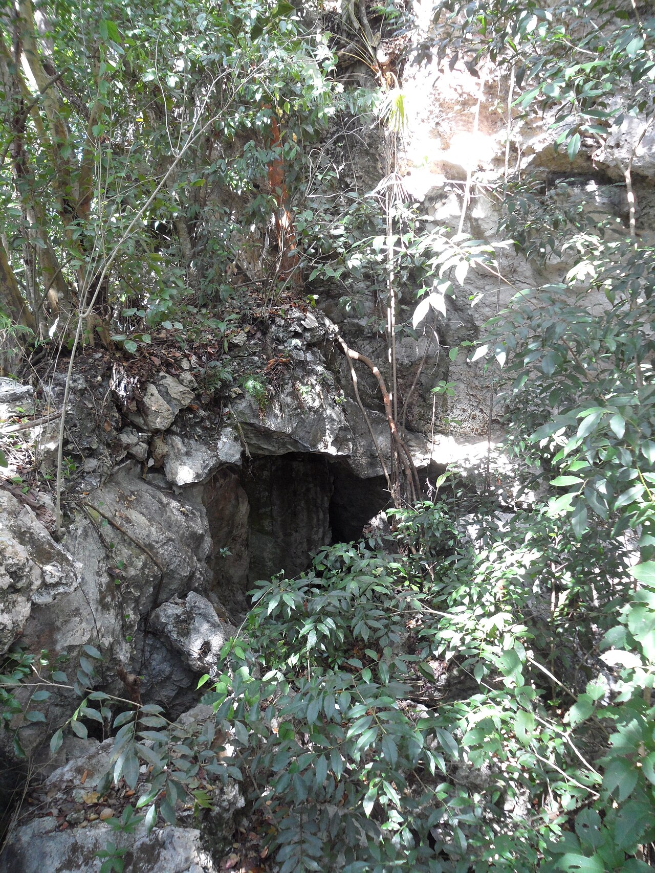
Lucayan Caverns
The Grand Bahama Museum gives 'over 34,443 feet' (about 10.5 km); the Bahamas National Trust says 'over 6 miles' (about 9.7 km) charted; Showcaves.com lists 9,181 m. The museum figure is undated but its page mentions exploration in 2020.
A long flooded cave system under Lucayan National Park on Grand Bahama, entered through Ben's Cave and Burial Mound Cave. It is where the crustacean class Remipedia was first discovered, and divers visit the Ben's Cave cavern only with an authorised guide.
The Lucayan Caverns lie beneath Lucayan National Park on the south coast of Grand Bahama. Two openings in the park, Ben's Cave and Burial Mound Cave, give access to a network of submerged passages that the Bahamas National Trust describes as more than six miles long, and which the Grand Bahama Museum lists among the longest underwater caves in the world.
The caves are anchialine: inland caves connected underground to the sea, holding a layer of fresh water on top of denser salt water. Grey snappers swim between the caves and the sea through submerged tunnels, and the transition layer between fresh and salt water (the halocline) is plainly visible to divers. Stalactites, stalagmites and fossil shells show that the passages were dry during ice-age low sea levels.
The system is scientifically and culturally important. Marine biologist and cave diver Jill Yager collected a previously unknown crustacean here, and in 1981 she named it Speleonectes lucayensis and placed it in a new class, Remipedia. The caves also hold Lucayan burials: human remains of the island's pre-Columbian people were found in the caves, and the Bahamas National Trust notes that the Lucayans used them as fresh-water sources and burial places. Bats roost and raise young in the cave openings in summer.
Recreational dives take place as guided visits to the Ben's Cave cavern, arranged through an authorised guide. Beyond the cavern the system is described as strictly protected, and exploration and survey have been carried out by a small number of cave divers.
Jeoloji
The caves formed in the island's limestone during ice-age low sea levels and were later flooded. The entrance pools formed where parts of the cave roof collapsed. Speleothems and fossil shells in the passages record the period when the cave was dry.
Su, akıntı ve taşkın
The Bahamas National Trust describes about 18 m of water in Ben's Cave, with the top 9 m fresh and the lower 9 m salt, separated by a halocline. Underwater tunnels link the cave with Gold Rock Creek and the sea, allowing marine fish such as grey snappers to move between them. The fresh-water layer is part of the island's drinking-water lens.
Neden önemlidir
Lucayan Cavern is the type locality of Speleonectes lucayensis, the first described remipede, for which Jill Yager created the new crustacean class Remipedia in 1981. Many more remipede species have since been found in Bahamian blue holes. The caves also contain Lucayan human remains and served as fresh-water sources and burial places, and they shelter migratory bats in summer.
Koşullar
The fresh-water layer is the island's drinking-water lens; the guiding operator asks divers not to wear skin or hair products before the dive. Bats use the cave openings as summer nursery sites.
Yayımlanmış kaynaklardan alınan tipik aralıklar, anlık koşulları yansıtmaz.
Survey ve keşif tarihi
| 1960 | Anglican priest Father Underhill came across the cavern and told diver Ben Rose, who explored it with his brother. [2] |
| 1981 | Jill Yager described Speleonectes lucayensis from Lucayan Cavern and established the new crustacean class Remipedia. [5] [6] |
| 1982-03 | The Bahamas National Trust signed a 99-year lease creating Lucayan National Park over the cave area. [1] |
| 1983-03 | The park was closed to all but scientists and qualified divers with Trust permission, reopening to the public in 1985. [1] |
| 2020 | The most recent exploration recorded by the Grand Bahama Museum was carried out by Kewin Lorenzen and Cristina Zenato. [2] |
Girişler ve dalış noktaları
Two entrances lie inside the park: Ben's Cave and Burial Mound Cave. Ben's Cave is the only one offered for guided cavern dives in the sources consulted; Burial Mound Cave is an archaeological site.
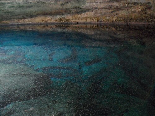
Yön bulmak için, navigasyon amaçlı değil. İçi boş noktalar yaklaşık konumdur.
Bu sayfadaki her bilgi, kaynağıyla birlikte (15)
| Bilgi | Durum | Kaynak |
|---|---|---|
| The Lucayan Cavern system is over 34,443 feet (about 10.5 km) long.Grand Bahama Museum: over 34,443 ft. Bahamas National Trust: over 6 miles of tunnels charted. Showcaves.com: 9,181 m. Wikipedia (orientation only) gives 10.3 km. | Kaynaklar çelişiyor | [2] [1] [4] |
| Ben's Cave holds about 60 ft (18 m) of water: roughly 30 ft of fresh water over 30 ft of salt water with a halocline between.Showcaves.com places the halocline about 10 m below the surface. | Doğrulandı | [1] |
| Grey snappers move between Ben's Cave and Gold Rock Creek through submerged tunnels. | Doğrulandı | [1] |
| Speleonectes lucayensis was described by Yager in 1981 with its type locality at Lucayan Cavern, Grand Bahama.The 1981 paper established the class Remipedia. | Doğrulandı | [5] [9] |
| National Geographic reported in 2010 that 18 of the 24 then-known remipede species live in Bahamian blue holes and that the class was first documented in the Bahamas in 1981.Species count is from 2010; more remipedes have been described since. | Güncel olmayabilir | [6] |
| Lucayan skeletal remains were found in the caves, and the Lucayans used the caves for fresh water and ceremonial burial.The Trust dates the archaeological finds of six individuals to 1986; the Grand Bahama Museum dates the first discovery of remains in Ben's Cave to 1973. | Kaynaklar çelişiyor | [1] [2] |
| The cave openings shelter migratory bats and serve as nursery sites in summer. | Doğrulandı | [1] |
| Father Underhill found the cavern in 1960 and told Ben Rose, who explored it with his brother. | Bildirildi | [2] |
| Dennis Williams' original exploration laid about 29,000 ft of line over roughly six miles of surveyed tunnels; the most recent exploration was by Kewin Lorenzen and Cristina Zenato in 2020.Date of Williams' work not given. | Bildirildi | [2] |
| Lucayan National Park was created by a 99-year lease in March 1982, closed in March 1983 to all but scientists and qualified divers with Trust permission, reopened in 1985 and expanded in 2015. | Doğrulandı | [1] |
| Divers at Ben's Cave must be accompanied by an authorised dive instructor arranged before the dive date.Undated tourism-ministry listing. | Doğrulandı | [3] |
| Because of the cave's fragility, tours in the cavern are conducted only by Bahamas National Trust-approved guides.Museum page, undated. | Bildirildi | [2] |
| Lucayan Caverns are strictly protected and require trained, legally employed guides.Brian Kakuk interview, 2026-07-12. | Bildirildi | [7] |
| Guided access only at Ben's Cave, arranged in advance with an authorised instructor. | Doğrulandı | [3] [2] |
| Lucayan National Park is at approximately 26.60 N, 78.40 W.Park-level coordinates from Wikipedia, consistent with Showcaves.com's point for Ben's Cave (26.6054, -78.4015). | Bildirildi | [8] [4] |
Doğrulandı: incelediğimiz resmi veya birincil bir kaynak tarafından belirtilmiştir. Raporlandı: yalnızca ikincil bir kaynaktan. Kaynaklar çelişiyor: notta her iki versiyon da verilmiştir. Güncel olmayabilir: bulduğumuz en yeni kaynak eskidir.
Yukarıdaki kaynaklardan kendi ifadelerimizle yazıldı. Düzeltme bildir