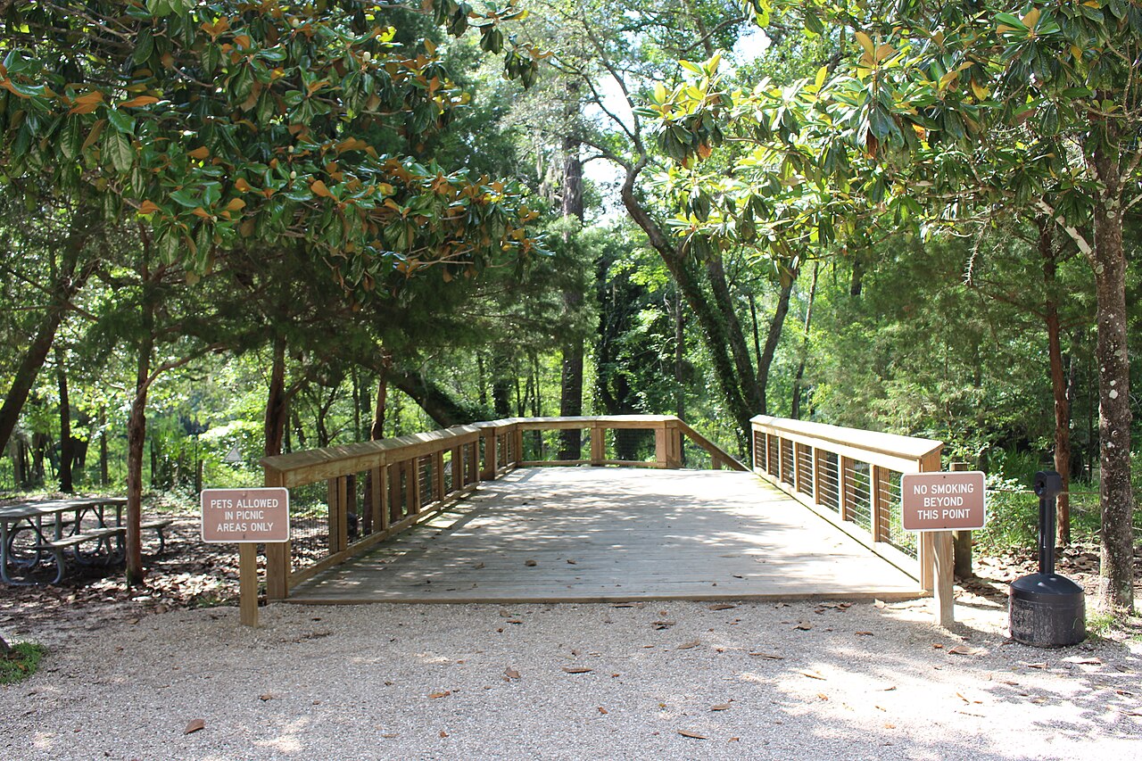
Madison Blue Spring cave system
Over 26,000 feet of passage explored, as cited by Florida State Parks from Gulden and Coke (2014). The park pages do not say who conducted the survey.
A first-magnitude spring on the Withlacoochee River whose underwater cave, entered about 9 metres below the pool surface, has more than 26,000 feet of mapped passage; certified cavern and cave diving only.
Madison Blue Spring rises into a limestone basin on the west bank of the Withlacoochee River in north Florida, inside Madison Blue Spring State Park. The pool is about 25 metres across and 7.5 metres deep and drains down a short run into the river. It is a busy swimming hole in summer as well as an internationally known cave-diving site.
About 30 feet (9 metres) below the surface of the pool, a large opening leads into the cave. Florida State Parks reports that certified cave divers have mapped more than 26,000 feet of passage, citing a 2014 survey compilation, which places it among the longest underwater caves in Florida. The passages extend beyond the park boundary and pass beneath the Withlacoochee River just south of the State Road 6 bridge. Martz Sink, also in the park, gives a second way into the system.
The park allows certified cave and cavern diving only; there is no open water diving or freediving with scuba here. The caves are home to three cave-dwelling crustaceans that depend on stable aquifer conditions: the pallid cave crayfish, Hobbs' cave amphipod and the swimming little cave isopod.
الجيولوجيا
The spring water comes from the Oligocene Suwannee Limestone, the uppermost formation of the Floridan aquifer system in the park, a white to cream fossil-rich limestone that crops out in the spring and the river. Around the spring it is overlain by sands and clays of the Miocene Torreya Formation and the Pliocene Miccosukee Formation. The fossil sea biscuit Rhyncholampas gouldii, an index fossil for the Suwannee Limestone, is common in local outcrops.
المياه والتدفق والفيضانات
Madison Blue is a first-magnitude spring, meaning it discharges at least about 2,800 litres (100 cubic feet) per second. Florida State Parks says the outflow pushes into the Withlacoochee River and sweeps a clear arc across the river bottom. The park lists many sinkholes as evidence of a close connection between surface water and the aquifer.
لماذا يهم ذلك
One of the longest mapped underwater caves in Florida, and habitat for three imperilled cave crustaceans. Florida State Parks describes the park as protecting nationally significant examples of karst topography.
الظروف
The spring averages a steady 72°F (22°C). The park closes when it reaches capacity, which often happens between 10 a.m. and 3 p.m. on weekends and holidays. Effective 2026-10-13 the park announced it was closed to swimming; the notice did not mention diving.
نطاقات اعتيادية من مصادر منشورة، لا ظروف آنية.
المداخل ومواقع الغوص
The main entrance is a large opening about 30 feet below the surface of the spring pool. Florida State Parks also describes diving from Martz Sink in the park. The cave extends outside the park boundary.
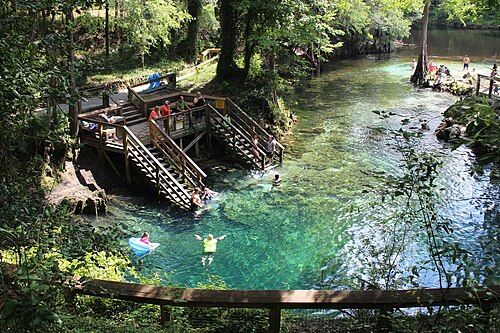
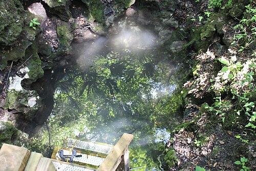
للتوجه العام، لا للملاحة. النقاط المفرغة تحديد تقريبي.
مزيد من القراءة
Karst Underwater Research (KUR) ↗
New Madison and Manatee cave maps ↗
كل حقيقة في هذه الصفحة مع مصدرها (16)
| حقيقة | الحالة | المصدر |
|---|---|---|
| Over 26,000 feet of underground passages have been explored at Madison Blue, citing Gulden and Coke (2014).26,000 ft is about 7,925 m; figure dates from 2014 and may be out of date. | موثق | [4] [5] |
| A large opening about 30 feet below the surface of the spring pool leads into the cave system. | موثق | [3] [4] |
| The cave system extends outside the park and passes under the Withlacoochee River just south of the State Road 6 bridge. | موثق | [4] |
| The spring pool is about 82 feet wide and 25 feet deep.The geology page gives an 80-foot diameter. | موثق | [1] [6] |
| Madison Blue is a first-magnitude spring, defined by the park as discharging at least 2,800 litres per second. | موثق | [6] |
| The spring water originates from the lower Oligocene Suwannee Limestone of the Floridan aquifer system, overlain locally by the Torreya and Miccosukee formations. | موثق | [4] |
| The cave system hosts three cave crustaceans: the pallid cave crayfish, Hobbs' cave amphipod and the swimming little cave isopod. | موثق | [6] |
| The water temperature averages a consistent 72°F.72°F is about 22°C. | موثق | [2] |
| The park is open to certified cave and cavern diving only, with no open water diving or free diving.Read 2026-10-14. | موثق | [2] |
| Divers sign in at the front of the main boardwalk, dive with at least two divers, stay within their certification, may not use DPVs and must finish one hour before sunset. | موثق | [2] |
| The park frequently closes between 10 a.m. and 3 p.m. on weekends and holidays when it reaches capacity. | موثق | [1] |
| A park notice effective 2026-10-13 said Madison Blue was closed to swimming.Notice refers to swimming; diving status not stated. Re-check before relying on it. | موثق | [1] |
| USGS lists Madison Blue Spring (site 02319302) at latitude 30.480492, longitude -83.244311. | موثق | [7] |
| USGS lists Madison Blue Spring at longitude -83.244311. | موثق | [7] |
| Florida State Parks says the spring outflow pushes against the flow of the Withlacoochee River, leaving a large arc of clear water and swept river bottom.The park history page also says the spring contributes 23.7% of flow; its wording is unclear. | موثق | [5] |
| Many well-developed sinkholes in the park illustrate a high degree of interconnection between surface water and the Floridan aquifer. | موثق | [6] |
موثق: مُصرَّح به من مصدر رسمي أو أولي فتحناه. مُبلَّغ عنه: من مصدر ثانوي فقط. المصادر متضاربة: تتضمن الملاحظة النسختين. قد يكون قديماً: أحدث مصدر وجدناه قديم.
مكتوب بأسلوبنا الخاص من المصادر أعلاه. الإبلاغ عن تصحيح