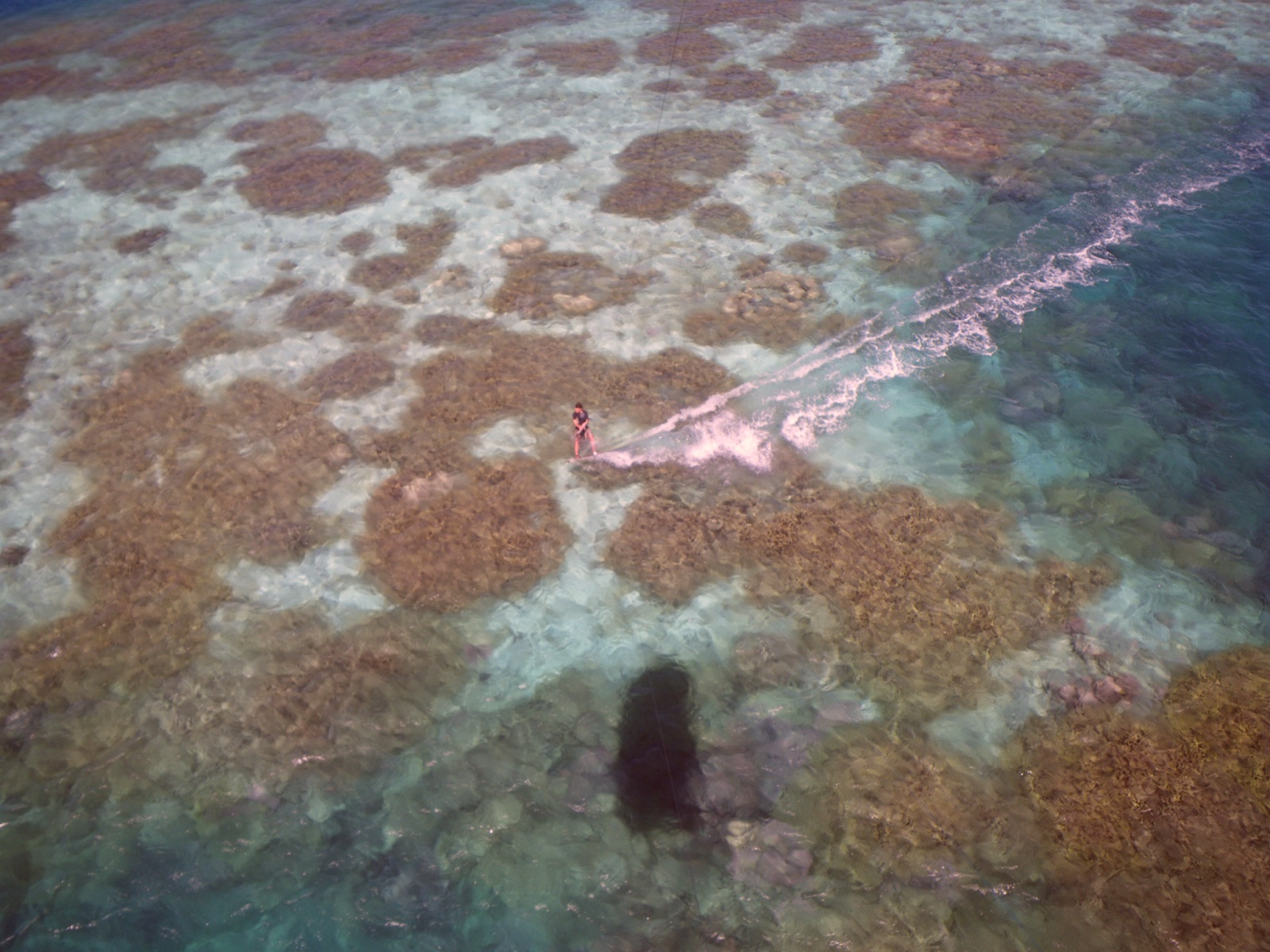
Cocos Island
Cocos Island stands alone in the eastern Pacific about 550 km off Costa Rica, a jungle-covered national park and UNESCO site reachable only by liveaboard after a crossing of roughly 32-36 hours. Divers make that commitment for one reason above all: scalloped hammerheads in schools that can fill the water column, backed by marbled rays, hunting whitetips, tiger sharks, and seasonal whale sharks. There is no land-based option and no casual version of this trip.
Warum hier tauchen
Cocos is a seamount system dressed as an island. Cleaning stations on current-swept pinnacles like Bajo Alcyone pull scalloped hammerheads in from open water, and on a good morning divers hang in the blue while a school passes overhead like weather. Whitetip reef sharks carpet the ledges by day, then hunt in packs after dark at Manuelita, one of the most reliable night-dive spectacles in diving. Tiger sharks, once rare here, are now seen on many trips, and the rainy season stacks the odds for whale sharks, silkies, and bigger baitballs. This is blue-water, big-animal diving: negative entries from pangas, currents that decide the plan, thermoclines that drop the temperature mid-dive, and deco discipline enforced by sheer distance from help. The reward is ten days inside a functioning shark ecosystem, protected since 1978 and patrolled by rangers, that feels closer to the Pacific of a century ago than almost anywhere else you can dive.
Monat für Monat
Diveable year-round. The June-November rainy season brings rougher crossings, more surge, and reduced visibility, but also the largest hammerhead schools and the best odds of whale sharks. December-May is drier and calmer with clearer water and somewhat less concentrated shark action.
| Monat | Wasser | Sichtweite | Wie es sich anfühlt |
|---|---|---|---|
| January●●●●○ | 26–29 °C / 79–84 °F | 18–30 m | Dry season; calmer seas and clearer water. |
| February●●●●○ | 26–29 °C / 79–84 °F | 18–30 m | |
| March●●●●○ | 26–29 °C / 79–84 °F | 18–30 m | |
| April●●●●○ | 26–29 °C / 79–84 °F | 18–30 m | |
| May●●●●○ | 26–29 °C / 79–84 °F | 15–28 m | Transition toward the rainy season. |
| June●●●●● | 24–28 °C / 75–82 °F | 12–25 m | Rainy season begins; shark action ramps up. |
| July●●●●● | 24–28 °C / 75–82 °F | 12–25 m | Large hammerhead schools; rougher crossings. |
| August●●●●● | 24–28 °C / 75–82 °F | 12–25 m | |
| September●●●●● | 24–28 °C / 75–82 °F | 12–25 m | Peak season for big animals and whale shark chances. |
| October●●●●● | 24–28 °C / 75–82 °F | 12–25 m | |
| November●●●●○ | 25–28 °C / 77–82 °F | 12–25 m | Rains taper; still strong shark diving. |
| December●●●●○ | 26–29 °C / 79–84 °F | 18–30 m |
Konfidenz der Monatswerte: Documented. Monate ohne Zeile haben keine verifizierten Daten. Wir zeigen lieber eine Lücke, als eine zu erfinden.
Die Tauchplätze (6)
| Tauchplatz | Typ | Tiefe | Level | Zugang | |
|---|---|---|---|---|---|
| Bajo Alcyone The archetypal hammerhead cleaning station, marbled rays, blue-water safety… | Seamount | 25–40 m | Advanced | Liveaboard | |
| Dirty Rock Jack schools that block the sun, hammerhead crossings, marbled rays on the… | Pinnacle | 12–35 m | Advanced | Liveaboard | |
| Dos Amigos Grande The 20 m archway, hammerheads on the outside edge, marbled rays in the… | Pinnacle | 15–35 m | Advanced | Liveaboard | |
| Manuelita The whitetip night hunt, regular tiger shark passes, an easy coral garden… | Reef | 8–30 m | Intermediate | Liveaboard | |
| Punta Maria Marbled rays en masse, processional hammerheads, a wilder and less-visited… | Seamount | 22–40 m | Advanced | Liveaboard | |
| Submerged Rock The swim-through, dense whitetips, rays orbiting a tower of rock | Pinnacle | 10–30 m | Advanced | Liveaboard |
Meeresleben, das du einplanen kannst
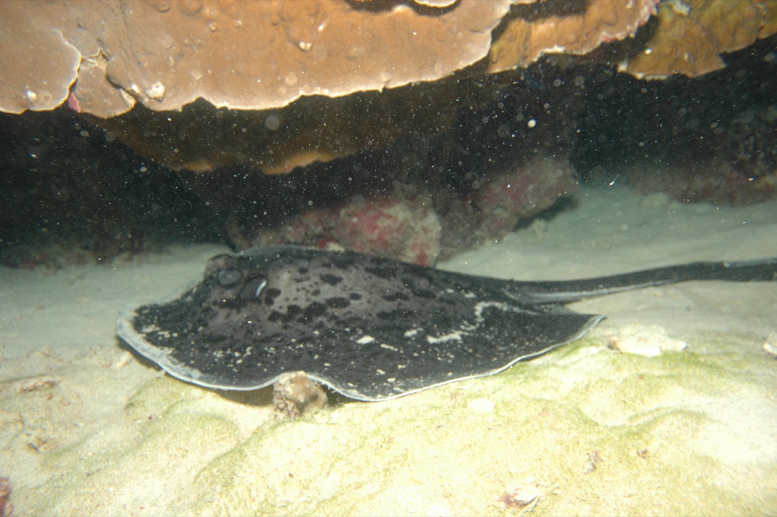
Marbled Ray
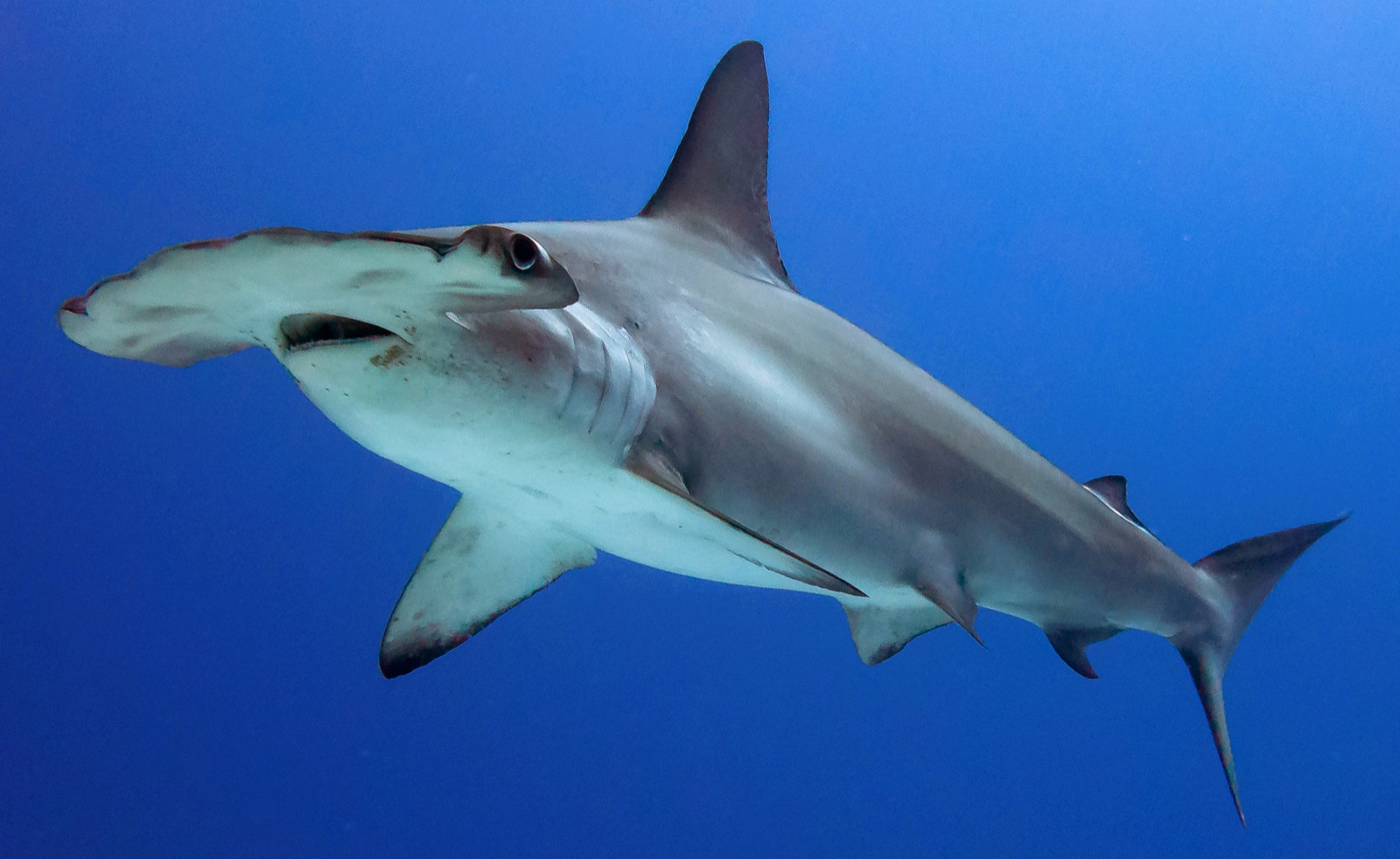
Scalloped Hammerhead
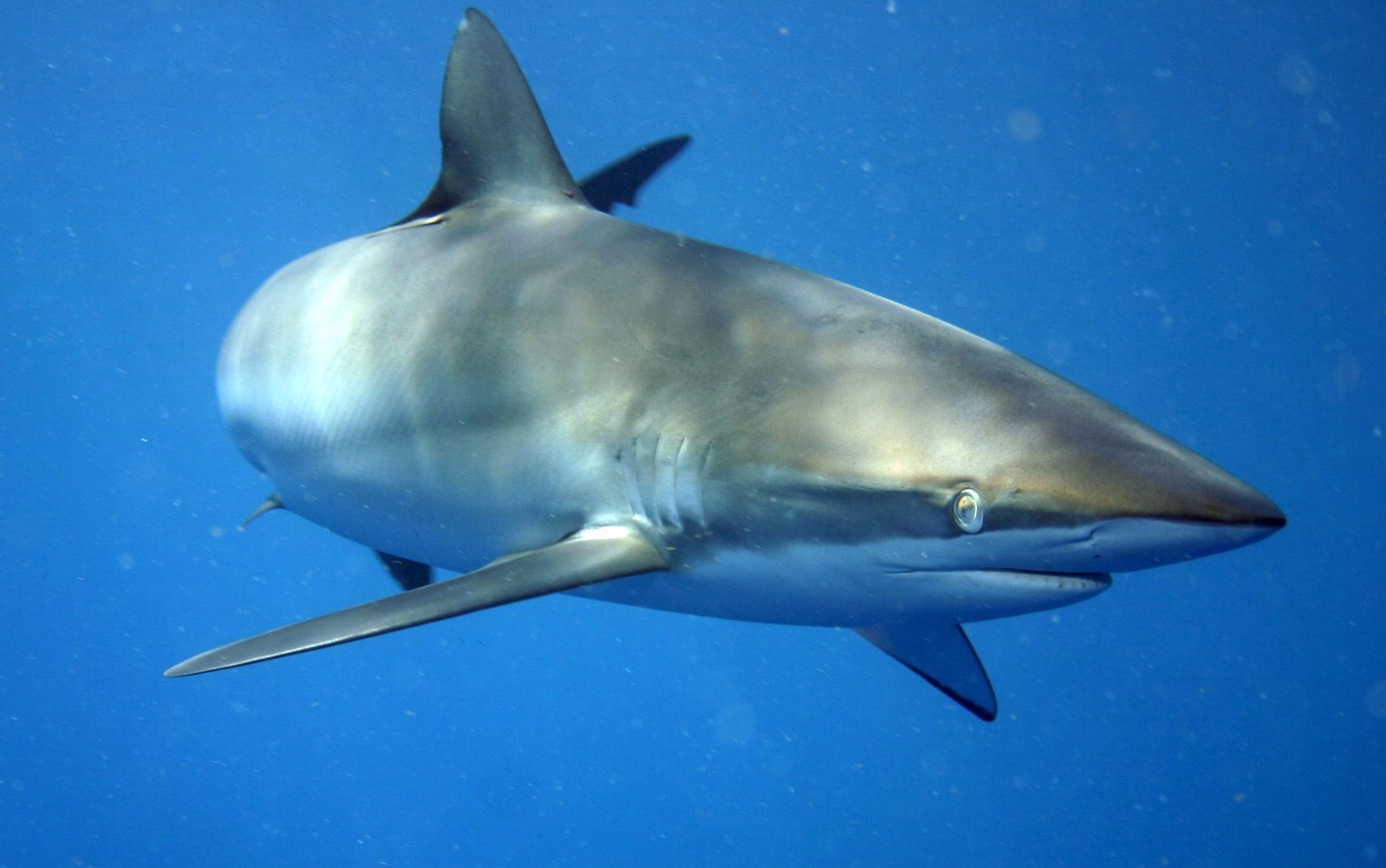
Silky Shark
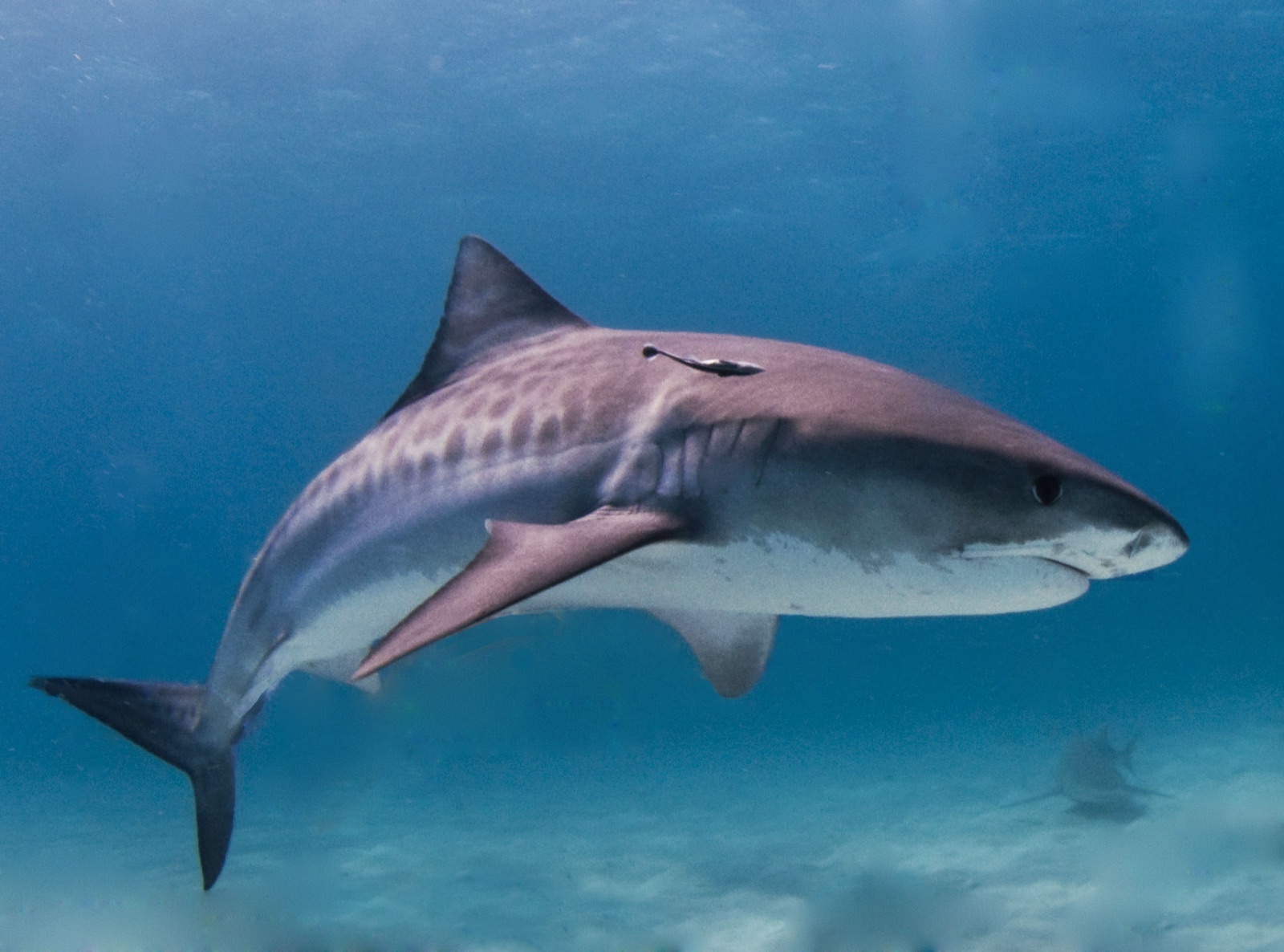
Tiger Shark
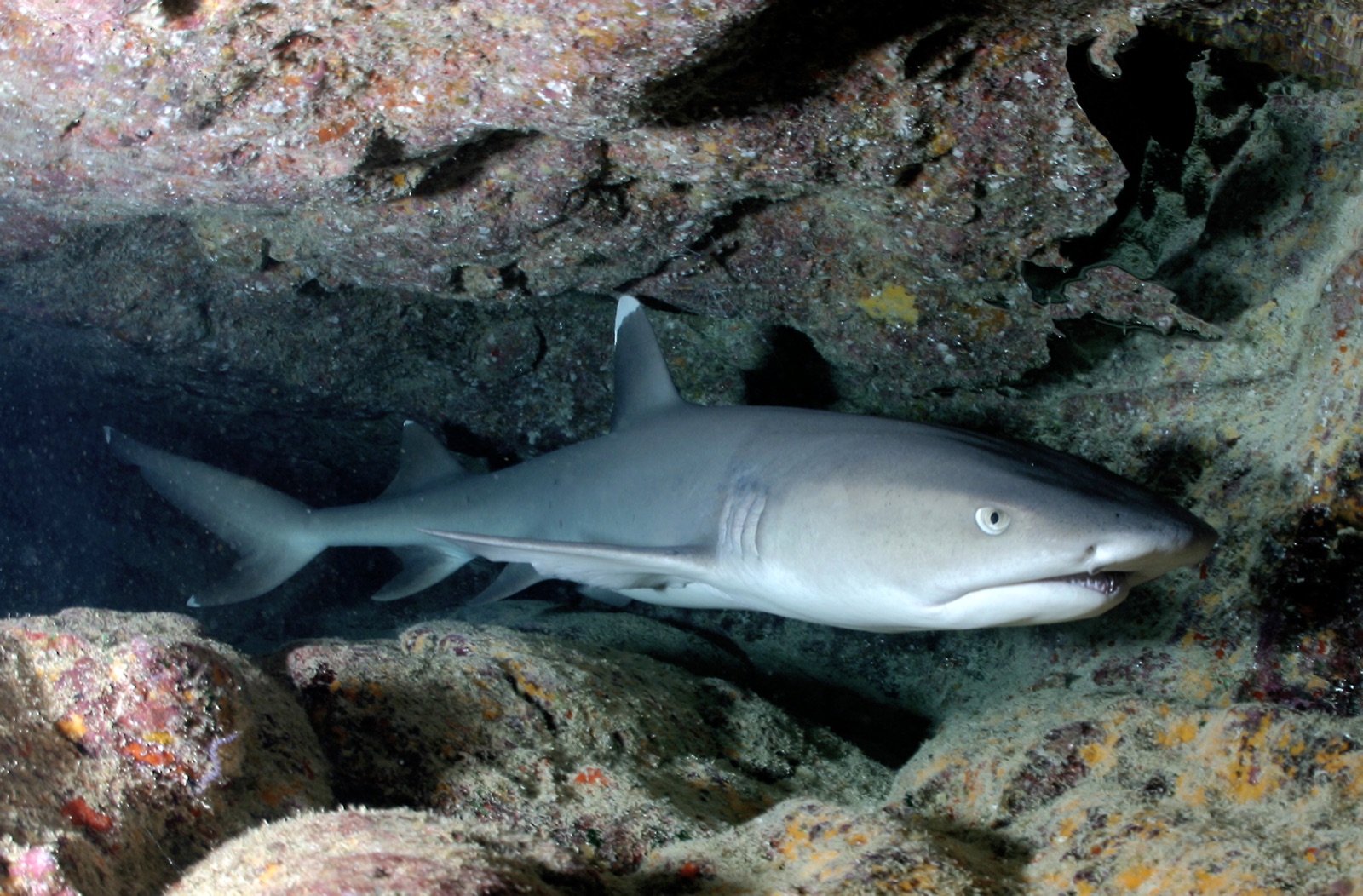
Whitetip Reef Shark
Scalloped hammerheads year-round, whitetip reef sharks in unusual density, marbled rays, silky sharks, tiger sharks, eagle rays, big jack and snapper schools, dolphins, and whale sharks mainly in the rainy season.
Anreise & Unterkunft
Anreise: Fly to San Jose, transfer about two hours to the Pacific coast, then settle in for a crossing of roughly 32-36 hours each way. Seasickness planning is not optional advice here.
Wo übernachten: There is no accommodation on Cocos; everyone sleeps aboard. Rangers are the island's only residents.
Liveaboards: A small number of dedicated vessels serve the island on roughly 10-day itineraries. Book several months to a year ahead for rainy-season departures.
Kosten: Liveaboard-only. Ten-day itineraries (about seven diving days) generally run around US$5,500-7,500 plus national-park fees, nitrox, and gratuities.
Zwischen den Tauchgängen: Limited by design: a visit to the ranger station, a short waterfall hike when the park allows landings, and time watching frigatebirds and boobies work the bait schools.
Sicherheit & Praktisches
Gefahren: Strong and unpredictable currents, surge against exposed pinnacles, cool thermoclines, blue-water drift entries and pickups, and extreme remoteness. Most dives run deep-ish profiles around 20-30 m in current, so gas planning and conservative computers matter.
Operators expect advanced certification and real current experience, and they are right to. Dive conservatively: the nearest substantial medical care is a day and a half away by boat. Carry a DSMB and signaling devices on every dive and follow the panga pickup protocol exactly.
Nächste Rekompressionskammer: There is no recompression chamber on Cocos. Emergencies are managed through the vessel's evacuation plan back to mainland Costa Rica; availability of facilities changes, so emergencies go through EMS and DAN.