Malpelo
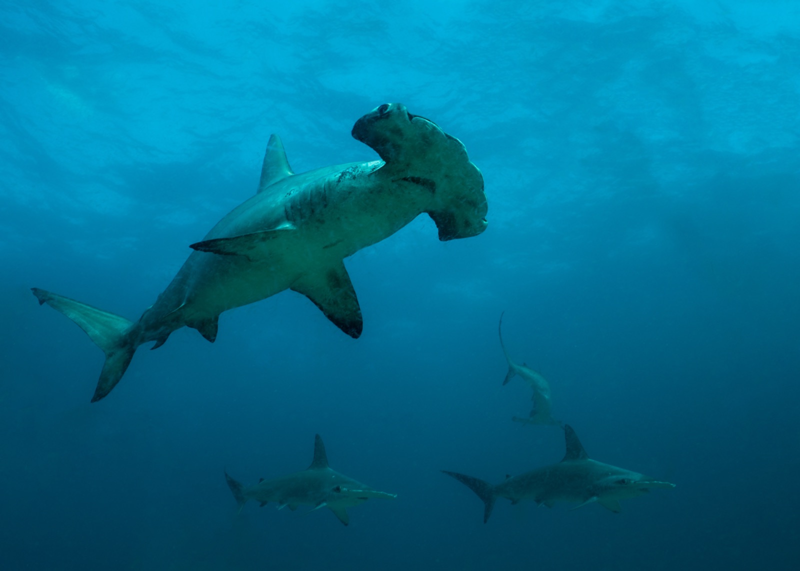
Malpelo is a bare volcanic rock rising from the eastern Pacific roughly 500 km off Colombia, ringed by some of the densest shark life in the world. A UNESCO World Heritage sanctuary with no harbor, no anchorage worth the name, and a small naval garrison as its only inhabitants, it is dived by a handful of permitted liveaboards after a crossing of 30-plus hours. Divers come for walls of scalloped hammerheads and the silky shark aggregations that can number in the hundreds.
Pourquoi plonger ici
Malpelo is what a seamount looks like when almost nobody has fished it. The Sanctuary of Fauna and Flora protects a huge no-take zone, and the payoff is density: scalloped hammerheads stacked along the thermocline, silky sharks massing near the surface in warm months, Galapagos sharks working every corner, and moray eels in numbers that surprise even Cocos veterans. The rock itself is stark and vertical, plunging past 100 m, with washrock pinnacles like La Nevera and El Acuario concentrating the action. Deep below sport limits, the island is famous among researchers for smalltooth sand tigers (Odontaspis ferox), a species divers almost never see anywhere else; encounters at diveable depths are rare events, not promises. Conditions are serious - surge, current, cold pulses, and no shelter when weather turns - and the logistics are expedition-grade. For divers who have done Cocos and the Galapagos and want somewhere emptier still, Malpelo is the remaining box.
Les sites de plongée (4)
| Site | Type | Profondeur | Niveau | Accès | |
|---|---|---|---|---|---|
| Bajo del Monstruo The chance, never the promise, of Odontaspis ferox; deep-bank hammerhead… | Seamount | 30–60 m | Technical | Liveaboard | |
| El Acuario (The Aquarium) Overwhelming fish density, whitetips stacked in trenches, sharks in… | Reef | 10–35 m | Advanced | Liveaboard | |
| El Arrecife Silky aggregations in season, reforming hammerhead schools, action from… | Reef | 12–40 m | Advanced | Liveaboard | |
| La Nevera (The Fridge) Hammerheads at the cleaning stations, thermocline shark pulses, daylight… | Pinnacle | 15–40 m | Advanced | Liveaboard |
La vie marine, planifiée à l'avance
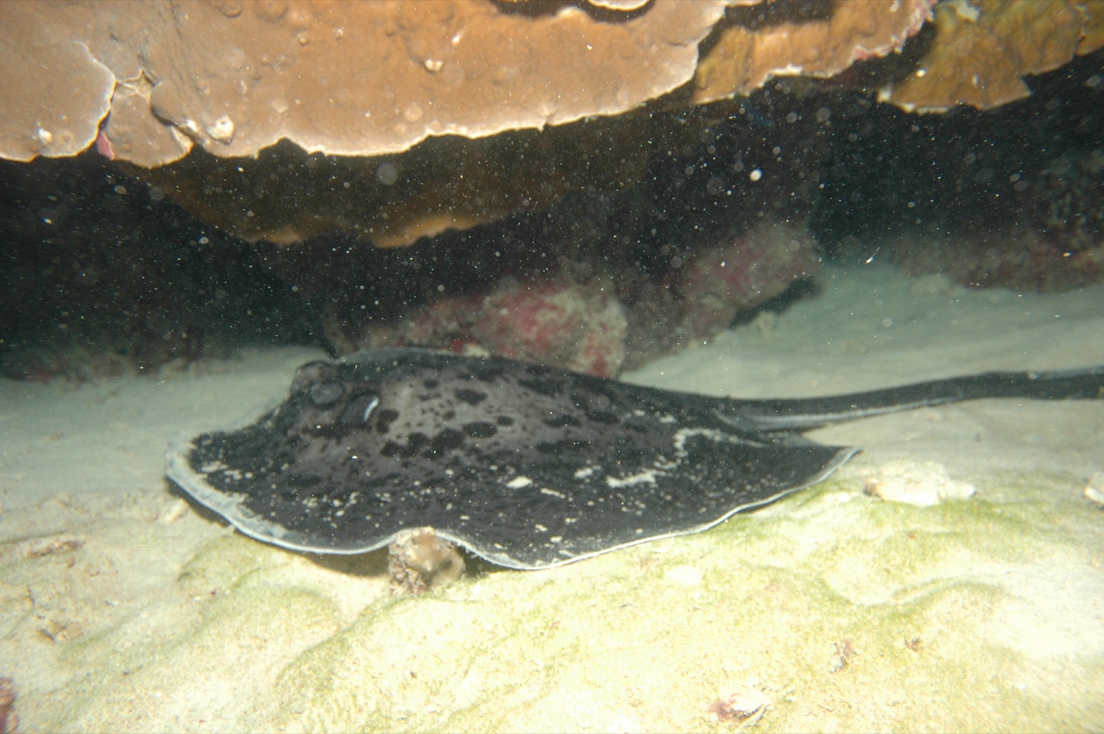
Marbled Ray
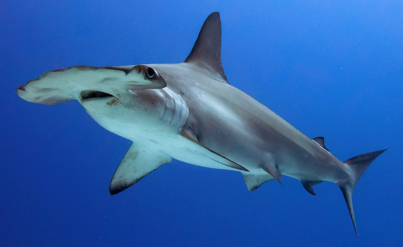
Scalloped Hammerhead
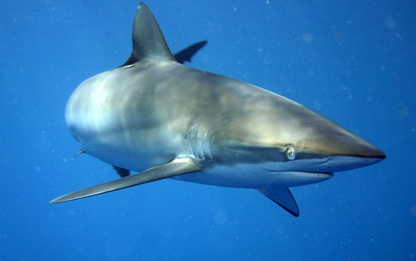
Silky Shark
Scalloped hammerheads in schools, silky sharks in seasonal aggregations, Galapagos sharks, whitetip reef sharks, dense free-swimming moray eels, big grouper and jack schools, occasional whale sharks, and, deep and rarely, smalltooth sand tigers.
Comment s'y rendre & se loger
Comment s'y rendre: Reach Colombia's Pacific coast (most itineraries have staged from Buenaventura) and board for a crossing generally quoted at 30-40 hours depending on seas. Some operators have at times run itineraries from Panama; confirm current arrangements when booking.
Où séjourner: No visitor facilities exist on Malpelo; landings are not part of dive itineraries. Everyone lives aboard for the full trip.
Liveaboards: Only a few vessels run Malpelo, and departures are far less frequent than for Cocos or the Galapagos; plan around the operator's schedule rather than your own.
Coûts: Expedition liveaboard only, typically around US$4,000-6,500 depending on vessel and itinerary length, plus the sanctuary permit arranged by the operator.
Entre les plongées: Essentially none - this is a diving expedition, with seabirds (including a huge Nazca booby colony) as the surface entertainment.
Sécurité & aspects pratiques
Dangers: Strong current and heavy surge against sheer rock, cold upwellings, blue-water entries, no protected anchorage, and about as much remoteness as diving offers. Sea conditions can shorten or reshape itineraries.
This is a trip for experienced, self-sufficient divers with strong current skills. Dive conservatively and carry a DSMB and electronic signaling; evacuation to definitive care takes more than a day, so the safest dive plan is the one with margin left over.
Caisson de recompression le plus proche: No chamber exists anywhere near Malpelo; the nearest facilities are on the Colombian mainland, more than a day away. Emergencies go through the vessel's plan, EMS, and DAN.