Saint Lucia
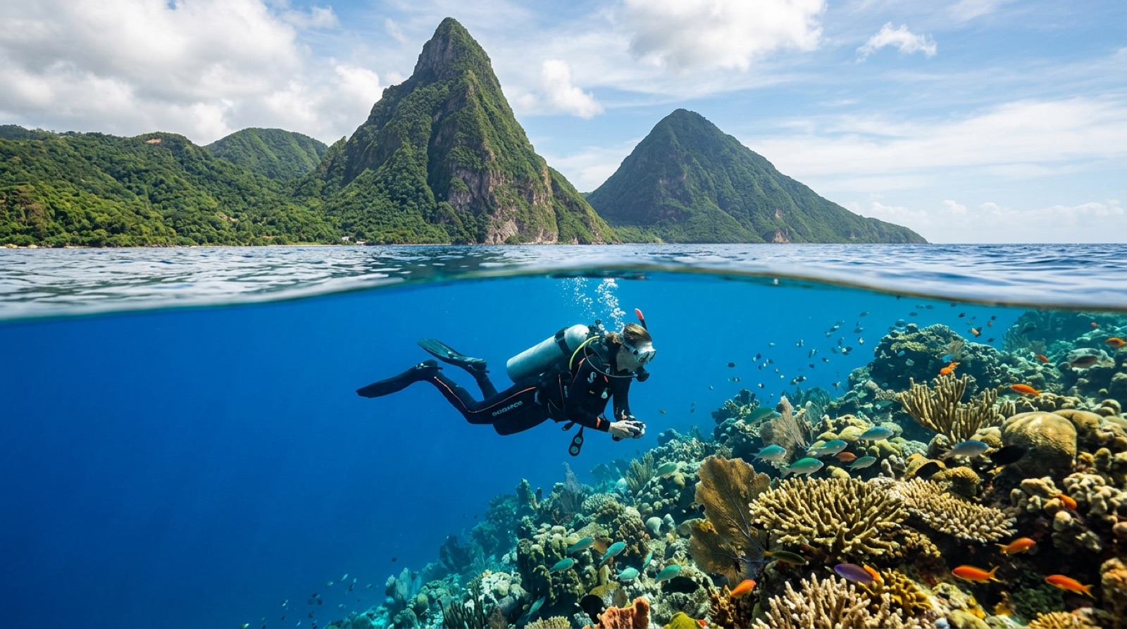
Saint Lucia's diving happens in the shadow of the Pitons, the twin volcanic spires that anchor its UNESCO World Heritage landscape. Beneath them, the Soufriere Marine Management Area protects a strip of steep coral slopes, current-brushed plateaus, and one of the Caribbean's most photogenic drift dives, Superman's Flight, along the base of Petit Piton. It is a honeymoon island that quietly takes its reefs seriously.
Por qué bucear aquí
The southwest coast concentrates everything within a few minutes of Soufriere's jetty. Reefs drop steeply from shore, so sites like Anse Chastanet pair a two-meter snorkel shelf with a slope that falls past forty, and the volcanic topography keeps the profiles interesting: ridges, boulders, and sand chutes rather than flat pavement. Currents wrapping the Pitons feed dense soft coral and sponge growth and power the gentle flight along Petit Piton's flank that gave Superman's Flight its name. Macro life is a genuine strength, with longsnout seahorses and frogfish found on the house reefs more reliably than almost anywhere else in the eastern Caribbean. The Lesleen M wreck gives newer divers an honest, penetrable hull in comfortable depths. Marine management fees fund real patrols and moorings, and the diving pairs naturally with an island built for staying put: jungle resorts, sulfur springs, and the Pitons overhead at every surface interval.
Mes a mes
December-May is driest and calmest. June-November brings rain, occasional swell, and hurricane risk that peaks in late summer.
| Mes | Agua | Visibilidad | Cómo es |
|---|---|---|---|
| January●●●●● | 26–27 °C / 79–81 °F | 15–30 m | |
| February●●●●● | 26–27 °C / 79–81 °F | 15–30 m | |
| March●●●●● | 26–27 °C / 79–81 °F | 15–30 m | |
| April●●●●● | 26–28 °C / 79–82 °F | 15–30 m | |
| May●●●●○ | 27–28 °C / 81–82 °F | 15–30 m | |
| June●●●○○ | 27–29 °C / 81–84 °F | 12–25 m | |
| July●●●○○ | 28–29 °C / 82–84 °F | 12–25 m | |
| August●●●○○ | 28–30 °C / 82–86 °F | 12–25 m | |
| September●●○○○ | 28–30 °C / 82–86 °F | 10–25 m | Peak hurricane season; rain can cloud nearshore water. |
| October●●●○○ | 28–29 °C / 82–84 °F | 12–25 m | |
| November●●●○○ | 27–29 °C / 81–84 °F | 15–25 m | |
| December●●●●○ | 26–28 °C / 79–82 °F | 15–30 m |
Confianza en los datos mensuales: Editorial estimate. Los meses sin fila no tienen datos verificados — preferimos mostrar un hueco antes que inventar uno.
Los puntos de buceo (5)
| Sitio | Tipo | Profundidad | Nivel | Acceso | |
|---|---|---|---|---|---|
| Anse Chastanet Reef Seahorses and frogfish on demand, shore access inside the reserve, superb… | Reef | 2–40 m | Beginner | Shore | |
| Coral Gardens Sprawling healthy coral fields under Gros Piton, easy atmospheric diving | Reef | 5–25 m | Beginner | Boat | |
| Fairyland Swept-clean coral plateau, island-best visibility, twin drop-off edges | Reef | 10–25 m | Intermediate | Boat | |
| Lesleen M Upright beginner-friendly wreck, richly colonized holds, easy depths | Wreck | 10–20 m | Beginner | Boat | |
| Superman's Flight Effortless flight along Petit Piton's base, film pedigree, sponge-quilted… | Drift | 6–25 m | Beginner | Boat |
Cómo llegar y dónde alojarse
Cómo llegar: Long-haul flights land at Hewanorra in the south, about an hour from Soufriere; regional hops use George F. L. Charles near Castries. Water taxis link some resorts to the dive areas.
Dónde alojarse: Staying near Soufriere or Anse Chastanet means shore access to the marine reserve; Rodney Bay in the north offers more nightlife at the cost of a long daily transfer.
Costes: Editorial estimate; confirm current rates. Marine reserve fees are added per dive or per day.
Entre inmersiones: Piton hikes, the drive-in volcano and sulfur springs at Soufriere, botanical gardens, and Friday night street parties at Gros Islet.
Seguridad y aspectos prácticos
Riesgos: Currents can accelerate around the Pitons; steep slopes invite depth creep; rain runoff after storms reduces nearshore visibility.
On the Piton drifts, stay with the guide and keep the reef on one shoulder; surfacing away from the group puts you in boat-traffic lanes.
Cámara de recompresión más cercana: A hyperbaric chamber has operated on Saint Lucia; availability changes, so emergencies go through EMS and DAN first.