Conservation · 5 min de lecture
Marine Protected Areas: What Works and What Is a Paper Park
MPA can mean anything from a fully enforced no-take reserve to a line on a map. The evidence for what real protection achieves, how much ocean actually has it, and what divers' fees buy.
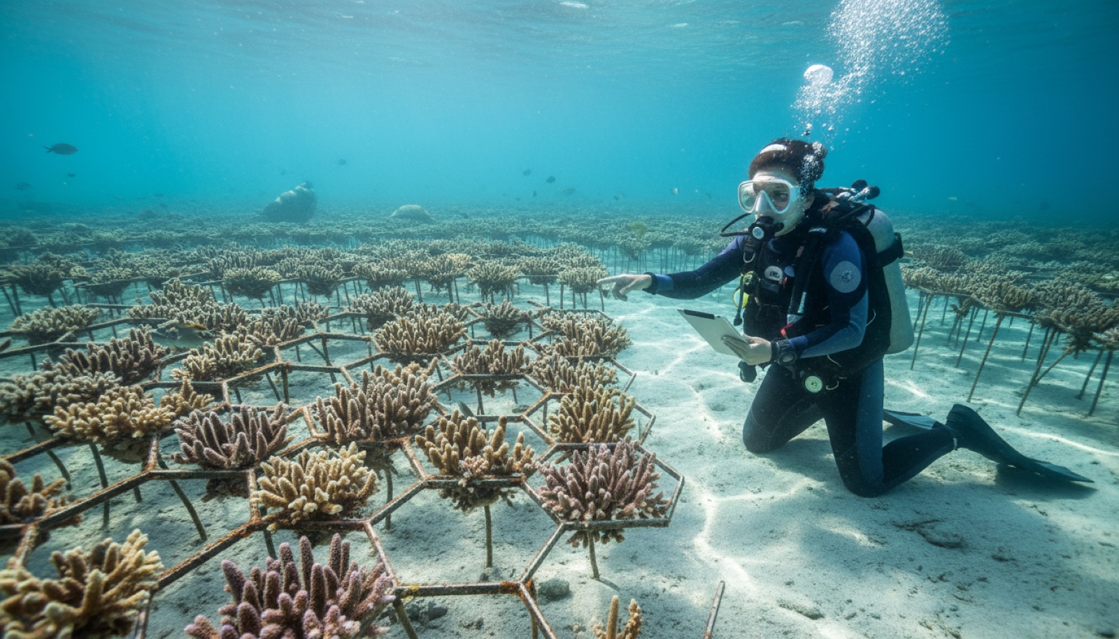
Three letters do a lot of unearned work in ocean conservation. A marine protected area can be a fiercely enforced no-take reserve with rangers, moorings, and rebounding fish stocks — or a polygon on a government map where fishing continues exactly as before. Both count in the statistics. Knowing the difference is essential for anyone who wants to understand where their park fees go and why some protected reefs feel wild while others feel emptied.
A spectrum, not a category
Protection runs from fully protected areas, where no extraction of any kind is allowed, through highly protected zones with narrow exceptions, to multi-use areas that permit regulated fishing, and finally to paper parks — designated, publicized, and unenforced. The label MPA alone tells you almost nothing; the questions that matter are what is banned, whether anyone enforces the ban, and for how long both have been true.
The evidence that real protection works
Where no-take rules are genuinely enforced, the results are among the most consistent findings in marine science: more fish, larger fish, and several times the biomass inside the boundaries compared with fished reefs nearby. The showcase is Cabo Pulmo in Mexico's Sea of Cortez, where a fishing community closed its own reef in the mid-1990s and researchers later documented total fish biomass increasing more than fourfold within about a decade — one of the largest recoveries ever measured. Research synthesizing reserves worldwide finds success concentrates where several features stack: no-take rules, real enforcement, age over a decade, meaningful size, and isolation. Protection also exports: adults and larvae spill across boundaries, which is why fishers who fought reserves sometimes end up fishing their edges deliberately.
How much ocean is actually protected
Headline coverage figures deserve the same skepticism as the label. Roughly eight percent of the ocean sits under some form of designation, but only around three percent is assessed as fully or highly protected — the category the recovery evidence actually describes. Governments have agreed a global target of protecting thirty percent by 2030, and a treaty adopted in 2023 finally created a legal path to protected areas on the high seas. The gap between designation and protection is where the next decade's real work lives.
What your fees and rules are for
- Park fees fund the unglamorous machinery of real protection — ranger patrols, mooring maintenance, monitoring. Tubbataha's ranger station and Bonaire's nature tags are textbook examples of diver money doing that work.
- Rules exist for reasons: mooring instead of anchoring protects the bottom, glove bans discourage touching, permits and closed zones manage pressure, seasonal closures protect spawning.
- Your compliance is part of the enforcement; so is choosing operators who follow the rules when nobody is watching.
- Report violations to park authorities rather than confronting anyone in the water.
Divers experience the payoff directly, because the difference between three percent and eight percent is visible from behind a mask: it looks like sharks in the blue, groupers with gray hairs, and a reef with its volume turned back up.