다이브 사이트, 시즌, 해양 생물 — 조사하고, 지도에 표시하고, 계획했습니다.
메뉴
목적지 다이브 사이트 해양 생물 난파선 뉴스
여행 계획하기 트립 플래너 다이빙 시기 비용 계산기 비교 해양 생물 캘린더 수온 리브어보드 운영업체 & 리조트 해양공원 고압산소치료 챔버 세계 지도
지역 호주, 뉴질랜드 & 동아시아카리브해 & 서대서양유럽, 대서양 & 지중해인도양 및 동아프리카태평양 제도 & 미크로네시아홍해 & 중동동남아시아 & 코랄 트라이앵글아메리카 & 동태평양 국가
학습 & 도구 전체 가이드 자격증 장비 가이드 영상 데이터에게 묻기 AI 에이전트 API
소개 소개 방법론 면책 조항 문의
내 보기
★ 저장됨

즐겨찾기한 목적지, 다이브 사이트, 생물종 — 이 브라우저에 저장됩니다.

API 게이트웨이

아틀라스의 캐시 데이터에 대한 무료 읽기 전용 JSON 접근.

다크 모드

🧭 가이드 보기
다이빙이 처음이라면 — 수심, 조류, 자격증 레벨이 낯설 수 있습니다. 브라우징하는 동안 모든 용어를 쉽게 설명해 드립니다. 동일한 데이터를, 도움말과 함께 확인하세요.

⚡ 전문가 보기
월 다이빙과 드리프트 다이빙의 차이는 이미 아시죠. 데이터만 — 깔끔하고 빠르게, 간결하게. 기본 보기입니다.

인터페이스 언어

해양보호구역 · Belize

Hol Chan Marine Reserve

설립 1987 문서화됨

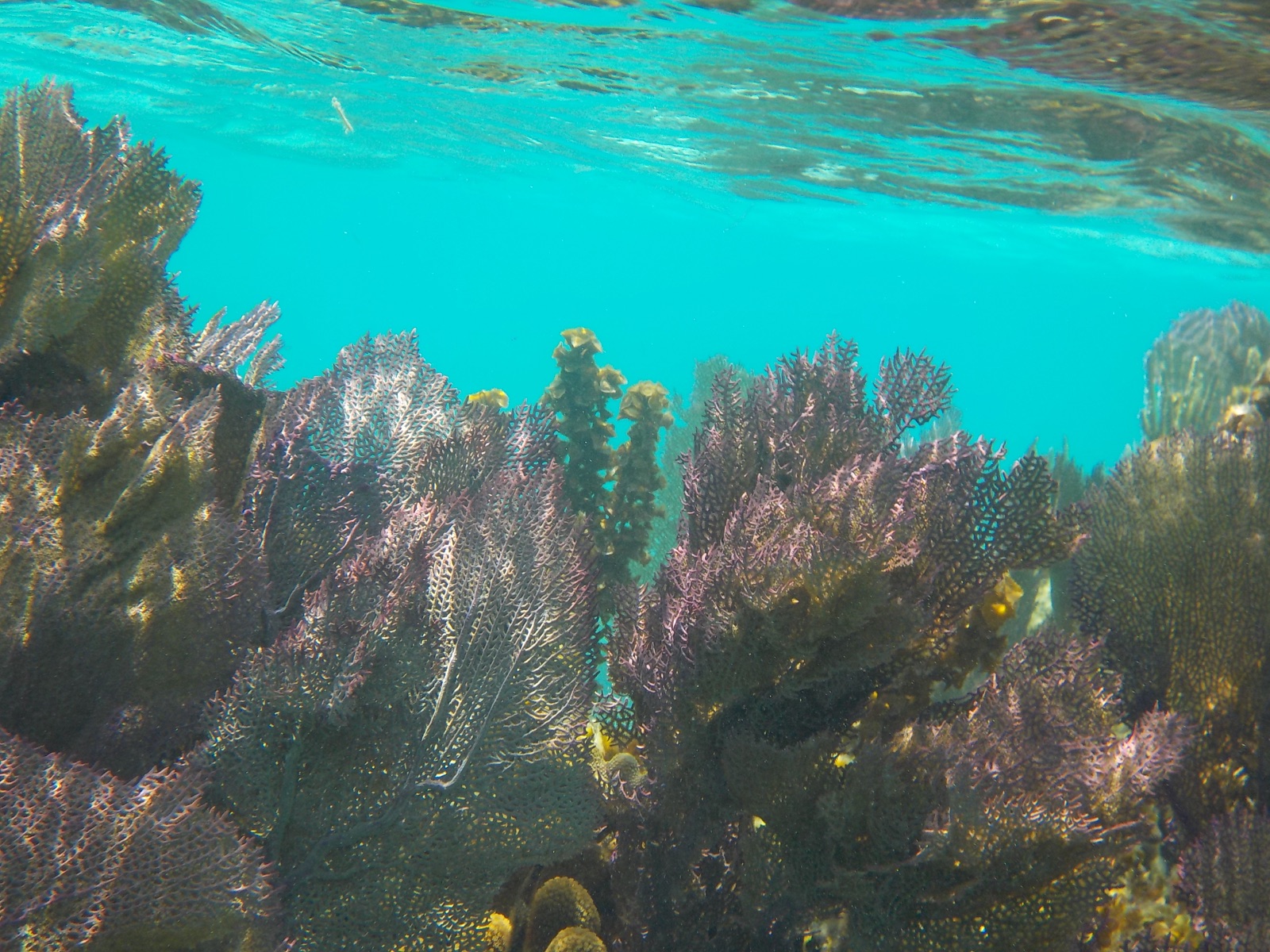
Hol Chan — Maya for 'little channel' — protects a natural cut through the Belize Barrier Reef a few kilometers south of San Pedro, Ambergris Caye. Established in 1987 as Belize's first marine reserve, it began as a small quadrant of reef, seagrass, and mangrove and has since been expanded to take in surrounding waters, including Shark Ray Alley, where fishermen once cleaned their catch and nurse sharks and southern stingrays still gather. The channel itself funnels tarpon, snappers, grouper, turtles, and morays through coral walls in shallow, current-brushed water, making it the busiest snorkel and dive attraction on the northern reef.

다이버에게 적용되는 규칙

The original reserve is zoned — reef channel, seagrass, mangrove, and the Shark Ray Alley zone — with fishing banned in the core zones and regulated elsewhere. Visitors pay an entrance fee, collected by licensed guides, and must visit with a licensed operator; boats tie to moorings rather than anchor. Touching or feeding wildlife is prohibited for visitors (the historic shark and ray aggregation persists from fishing tradition, and guides operate under specific rules), and no spearfishing or collecting is allowed. Rangers patrol from San Pedro and can close zones as needed.

요금 및 허가: Per-person entrance fee collected through guides/operators; rates set by the reserve and revised periodically.
다이브 경로

출처: Hol Chan Marine Reserve Office ↗ · 위 출처를 기준으로 검증된 정보입니다. 근거가 없는 항목은 '아직 미검증'으로 표시됩니다.

호주, 뉴질랜드 & 동아시아

Cairns & the Ribbon ReefsNingaloo ReefCoral Sea & Osprey ReefOkinawa & the Kerama IslandsPoor Knights IslandsTownsville & the YongalaGreen IslandIzu Peninsula

카리브해 & 서대서양

BonaireCozumelRiviera Maya & the CenotesBelize Barrier ReefGrand CaymanIsla Mujeres & CancúnRoatánTiger Beach & Grand Bahama

유럽, 대서양 & 지중해

Malta & GozoSilfra & IcelandThe AzoresCanary IslandsLarnaca & the ZenobiaScapa FlowArctic NorwayMadeira

인도양 및 동아프리카

North & South Malé AtollsAri AtollBaa Atoll & Hanifaru BayAliwal Shoal & UmkomaasMafia IslandMauritiusSeychellesSodwana Bay

태평양 제도 & 미크로네시아

PalauChuuk (Truk) LagoonFakaravaKona, HawaiʻiRangiroaTaveuni & Rainbow ReefBeqa Lagoon & Pacific HarbourEspiritu Santo

홍해 & 중동

Sharm El Sheikh & Ras MohammedBrothers, Daedalus & St John'sDahabHurghada & El GounaMarsa Alam & the Deep SouthAqabaDaymaniyat IslandsMusandam Peninsula

동남아시아 & 코랄 트라이앵글

Bali & Nusa PenidaKomodoRaja AmpatSipadan & MabulAnilaoCoronKoh TaoLembeh Strait

아메리카 & 동태평양

Galápagos IslandsCocos IslandFlorida KeysSea of Cortez & Cabo PulmoSocorro & the RevillagigedosBritish ColumbiaCalifornia Channel IslandsCosta Rica Pacific Coast