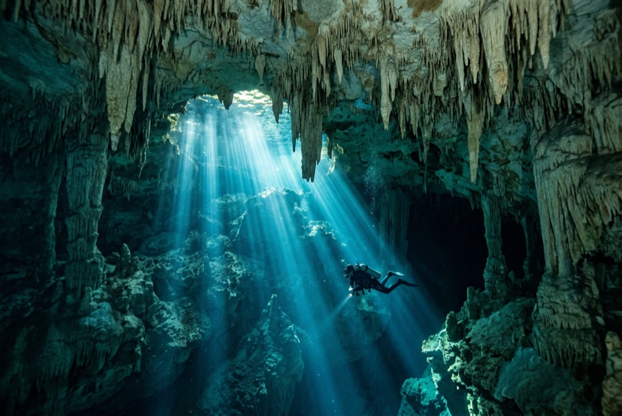
Cenote Angelita
La profundidad es el rango desde la cima del punto de buceo hasta su máximo habitual; la "certificación recomendada" es el nivel que los operadores suelen pedir según las agencias principales, no una norma legal. Las corrientes y la visibilidad cambian a diario, así que trata todo esto como rangos de planificación.
Angelita stages the strangest scene in Yucatan diving. The descent is plain green water until, near 30 m, a thick white sulfide cloud spreads wall to wall like the surface of a second, ghostly lake. A mound of rock and drowned trees pierces it, so divers appear to stand on a misty river island at the bottom of the world. Below the layer the water turns dark and tannic; most plans touch it briefly, if at all, then climb back to the sunlit rim. There is little decoration and less fish life; the dive is pure atmosphere, and it lingers in memory like weather.
El momento por el que vienes: The false lake of hydrogen sulfide, drowned trees in the mist, surreal deep atmosphere.
Topografía: An open vertical sinkhole; a rubble island crowned with sunken trees breaks a dense hydrogen-sulfide layer near 28–30 m.
Entrada: Short jungle walk south of Tulum to a round, open pool; giant-stride from the rock edge.
Lo que debes saber antes de tirarte al agua
Riesgos: Deep profile with a dark, disorienting layer; below the cloud light and visibility drop sharply. Conservative gas and depth plans only.
Permisos y normas: Private land; entrance fee at the gate, guided diving expected.
Conservación: Small site with fragile rim vegetation; keep groups tight and fins off the mound.
Nitrox: Vale la pena aquí: los perfiles están en el rango donde el nitrox amplía de forma significativa el tiempo sin parada (con la formación necesaria para usarlo).
A quién encontrarás
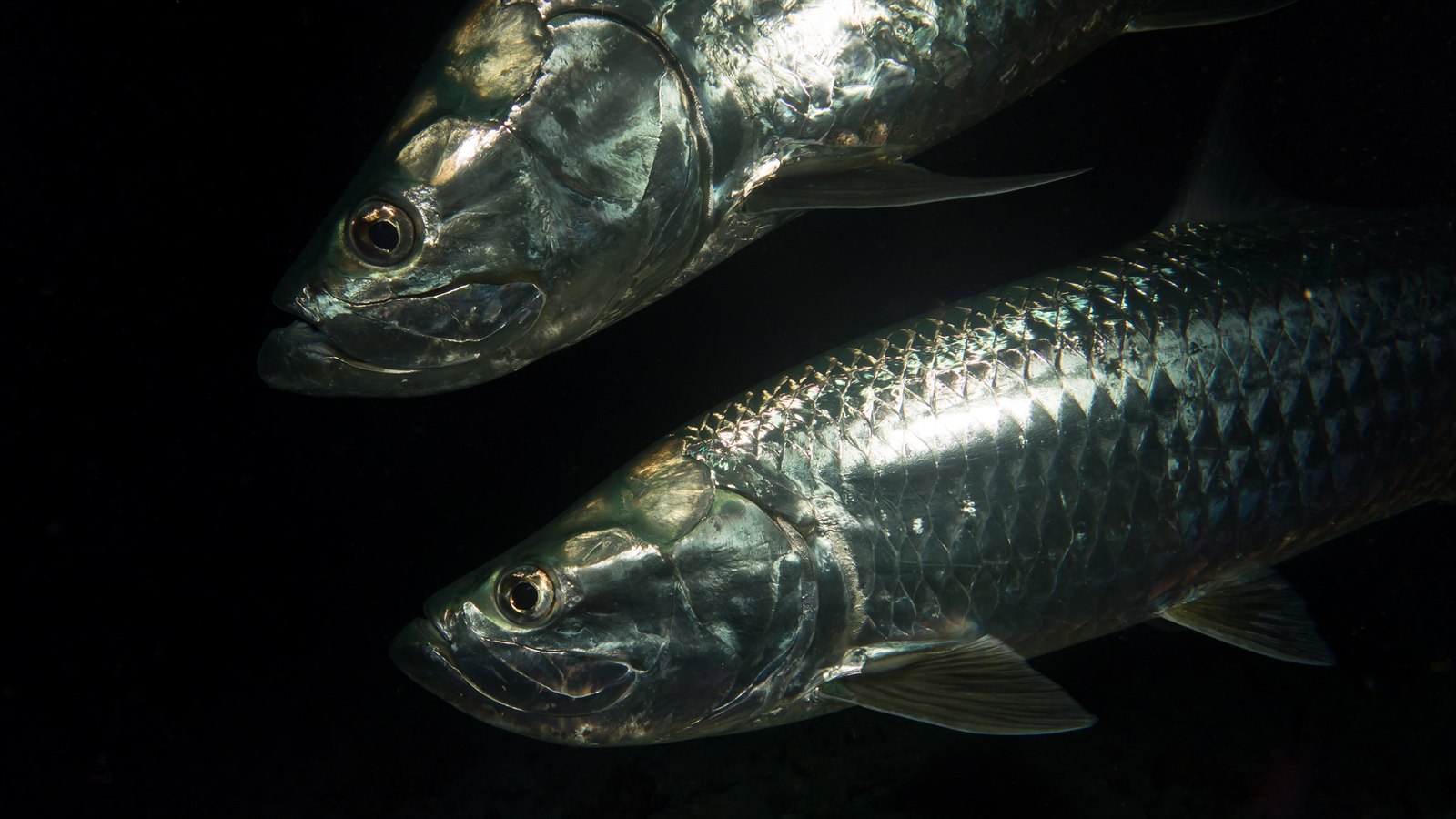
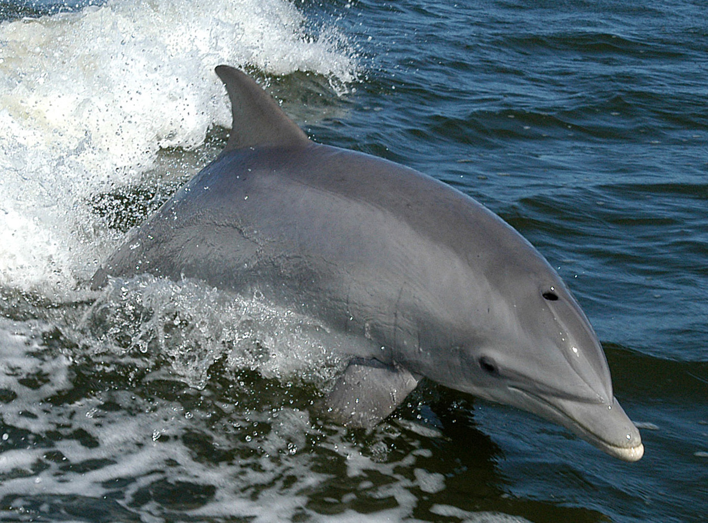
Las especies "aquí registradas" fueron añadidas por nuestros editores a partir de las fuentes de esta página. Los recuentos son registros de ocurrencia de GBIF: observaciones anotadas en un radio de unos 5 km de la posición registrada desde 1990, cotejadas únicamente con las especies de nuestro catálogo. Muestran lo que se ha avistado allí, no una garantía de lo que verás.
Para fotógrafos
Gran angular: ★★★★★ · Macro: ★☆☆☆☆ (valoración de 1 a 5 de los editores sobre lo que ofrece este sitio para cada estilo de fotografía)