Puntos de buceo, temporadas y vida marina — investigados, cartografiados, planificados.
Menú
Destinos Puntos de buceo Vida marina Pecios Noticias
Planifica un viaje Planificador de viajes Cuándo bucear Calculadora de costes Comparativas Calendario de fauna marina Temperatura del agua Liveaboards Operadores y resorts Parques marinos Cámaras hiperbáricas Mapa mundial
Regiones Australia, Nueva Zelanda y Asia OrientalCaribe y Atlántico occidentalEuropa, Atlántico y MediterráneoOcéano Índico y África OrientalIslas del Pacífico y MicronesiaMar Rojo y Oriente MedioSudeste Asiático y el Triángulo del CoralLas Américas y el Pacífico Oriental Países
Aprender y herramientas Todas las guías Certificaciones Guías de equipo Vídeos Consulta los datos Agentes de IA API
Acerca de Quiénes somos Metodología Aviso legal Contacto
Tu vista
★ Guardado

Tus destinos, sitios y especies favoritos — guardados en este navegador.

API GATEWAY

Acceso JSON gratuito de solo lectura a los datos en caché del atlas.

Modo oscuro

🧭 Vista guiada
¿Nuevo en el buceo? ¿Profundidades, corrientes, niveles de certificación? Explicamos cada término mientras navegas, en un lenguaje claro. Los mismos datos, con la ayuda integrada.

⚡ Vista experta
Ya conoces la diferencia entre una pared y un drift dive. Solo los datos — claros, rápidos y concisos. Esta es la vista predeterminada.

Idioma de la interfaz
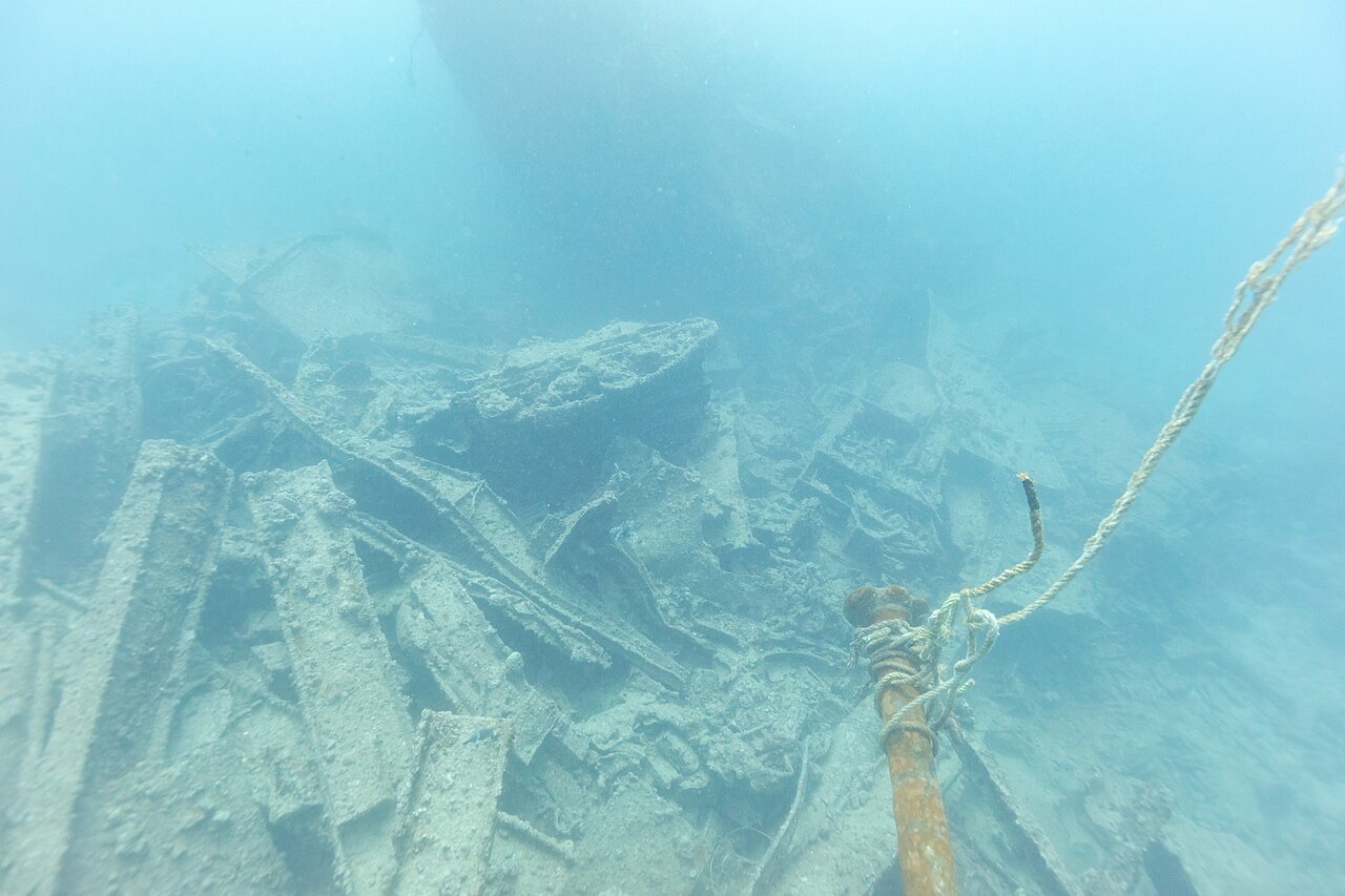
SS Thistlegorm — illustrative image

SS Thistlegorm

Armed British merchant navy freighter Hundido 1941 16–32 m Sharm El Sheikh & Ras Mohammed
Ilustración generada por IA
Aquí se perdieron vidas9 crew lost. Los operadores locales piden que el pecio se bucee con el respeto correspondiente.
Bien documentado
Profundidad hasta cubierta
16 m / 52 ft
Profundidad máxima
32 m / 105 ft
Construido / hundido
1940 / 1941
Longitud
126 m
Tonelaje
4,898 GRT
Orientación
Upright, Stern Section Twisted To Port
Nivel
Intermediate
Mejores meses
Mar, Apr, May, Jun, Sep, Oct, Nov

La historia

Built by Joseph Thompson & Sons of Sunderland for the Albyn Line, Thistlegorm made only a handful of voyages before the war claimed her. In the autumn of 1941 she lay at Safe Anchorage F off Sha'ab Ali, waiting for clearance through the Suez Canal with supplies for the Eighth Army in North Africa: Bedford trucks, BSA and Norton motorcycles, Bren carriers, rifles, aircraft parts, Wellington boots, and two steam locomotives chained to her deck. In the early hours of 6 October 1941, two Heinkel He 111 bombers hunting a troopship found her instead. Bombs detonated the ammunition in her aft holds, tearing the stern open and sending her down with nine of her crew. Jacques Cousteau located the wreck in the mid-1950s; after recreational divers relocated it in the early 1990s it became the most dived wreck in the world, a cargo hold time capsule of the desert war.

Cómo se hundió: German air attack while at anchor, 6 October 1941.

Buceando aquí hoy

Condición: Largely intact but visibly tired: decades of mooring lines, exhaust bubbles, and souvenir hunters have stripped bells, motorcycles, and fittings, and sections of plating have sagged. Conservation projects now map and monitor the hull.

Penetración: Full With Training. The forward holds are open-sided and routinely toured with a guide; deeper interior spaces and the stern demand wreck training and good buoyancy over silt. Acceder a cualquier entorno de penetración exige formación específica — como mínimo una certificación en pecios, y formación técnica en pecios para penetración completa.

Certificación recomendada: Advanced Open Water

Corriente: Moderate · Visibilidad: 15–30 m

Vida marina: Batfish hang under the bow, trevally and barracuda hunt over the deck, lionfish and crocodilefish stake out the cargo, and turtles pass along the rails.

Riesgos: Current can run hard over the deck; heavy day-boat traffic overhead; silt and sharp steel inside; live ordnance remains in the stern debris.

Protección y legislación

Managed Egyptian heritage site with installed mooring systems.

Artifact removal is illegal under Egyptian law.

Take nothing — decades of pilfering have already stripped this wreck; everything that remains is protected.

Ver

Desde los canales oficiales

Todos los vídeos →

Los vídeos son enlaces incrustados a los canales propios de sus creadores — no alojamos nada y acreditamos todo.

Fuentes: Wikipedia ↗University of Nottingham ↗ · Datos verificados frente a las fuentes anteriores; los campos sin respaldo se marcan como aún no verificados.

Australia, Nueva Zelanda y Asia Oriental

Cairns & the Ribbon ReefsNingaloo ReefCoral Sea & Osprey ReefOkinawa & the Kerama IslandsPoor Knights IslandsTownsville & the YongalaGreen IslandIzu Peninsula

Caribe y Atlántico occidental

BonaireCozumelRiviera Maya & the CenotesBelize Barrier ReefGrand CaymanIsla Mujeres & CancúnRoatánTiger Beach & Grand Bahama

Europa, Atlántico y Mediterráneo

Malta & GozoSilfra & IcelandThe AzoresCanary IslandsLarnaca & the ZenobiaScapa FlowArctic NorwayMadeira

Océano Índico y África Oriental

North & South Malé AtollsAri AtollBaa Atoll & Hanifaru BayAliwal Shoal & UmkomaasMafia IslandMauritiusSeychellesSodwana Bay

Islas del Pacífico y Micronesia

PalauChuuk (Truk) LagoonFakaravaKona, HawaiʻiRangiroaTaveuni & Rainbow ReefBeqa Lagoon & Pacific HarbourEspiritu Santo

Mar Rojo y Oriente Medio

Sharm El Sheikh & Ras MohammedBrothers, Daedalus & St John'sDahabHurghada & El GounaMarsa Alam & the Deep SouthAqabaDaymaniyat IslandsMusandam Peninsula

Sudeste Asiático y el Triángulo del Coral

Bali & Nusa PenidaKomodoRaja AmpatSipadan & MabulAnilaoCoronKoh TaoLembeh Strait

Las Américas y el Pacífico Oriental

Galápagos IslandsCocos IslandFlorida KeysSea of Cortez & Cabo PulmoSocorro & the RevillagigedosBritish ColumbiaCalifornia Channel IslandsCosta Rica Pacific Coast