Dive sites, seasons and marine life — researched, mapped, planned.
Menu
Destinations Dive Sites Marine Life Wrecks News
Plan a trip Trip planner When to dive Cost calculator Comparisons Marine-life calendar Water temperature Liveaboards Operators & resorts Marine parks Hyperbaric chambers World map
Regions Australia, New Zealand & East AsiaCaribbean & Western AtlanticEurope, Atlantic & MediterraneanIndian Ocean & East AfricaPacific Islands & MicronesiaRed Sea & Middle EastSoutheast Asia & Coral TriangleThe Americas & Eastern Pacific Countries
Learn & Tools All guides Certifications Gear guides Videos Ask the Data AI Agents API
About About us Methodology Disclaimer Contact
Your view
★ Saved

Your starred destinations, sites and species — stored in this browser.

API GATEWAY

Free read-only JSON access to the atlas's cached data.

Dark mode

🧭 Guided View
New to diving — depths, currents, certification levels? We explain every term as you browse, in plain English. Same data, with the help built in.

⚡ Expert View
You already know the difference between a wall and a drift. Just the data — clean, fast and compact. This is the default view.

Interface language
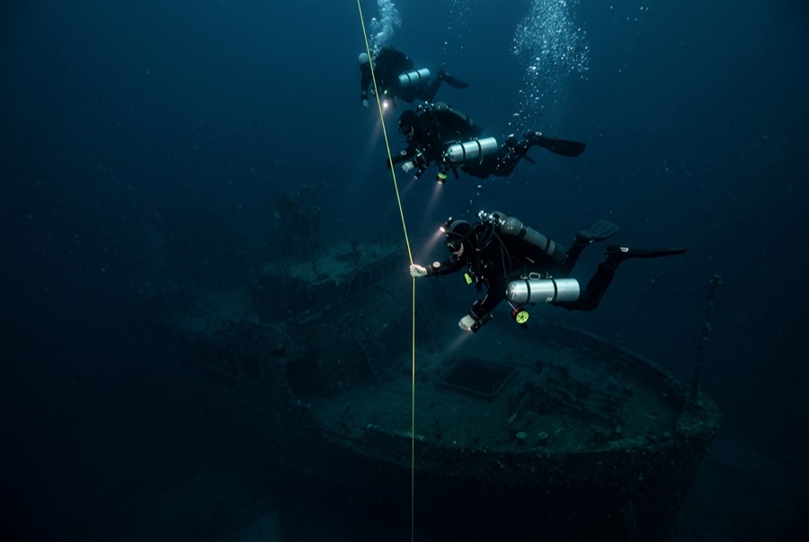
USS Saratoga — illustrative image

USS Saratoga

US Navy fleet aircraft carrier (CV-3) Sunk 1946 18–51 m Bikini Atoll
AI-generated illustration
Lives were lost hereNone in the sinking — the target fleet was unmanned. Local operators ask that the wreck be dived with corresponding respect.
Well documented
Depth to deck
18 m / 59 ft
Maximum depth
51 m / 167 ft
Built / sunk
1927 / 1946
Length
270 m
Orientation
Upright
Level
Advanced
Best months
May–Oct

The story

Laid down as a battlecruiser and finished as a carrier under the Washington Treaty, Saratoga was one of the ships that taught the US Navy carrier aviation. Commissioned in 1927, she fought across the Pacific war — torpedoed twice, struck by kamikazes off Iwo Jima with heavy loss of life, repaired every time — and ended the war as the fleet's grand old lady. That pedigree earned her no reprieve: assigned as a target for Operation Crossroads at Bikini in 1946, she rode out the Able air burst on 1 July, then took the full force of the Baker underwater shot on 25 July, which lifted her stern and broke her. She sank unmanned about seven and a half hours later, settling upright on the lagoon floor. She is the only aircraft carrier most divers will ever have a realistic chance to visit: flight deck within sport depths, aircraft and bombs still in the hangar, an island looming in blue water. Reaching her means a remote technical-style expedition, and that is part of her spell.

How she sank: Sunk by the underwater Baker atomic test of Operation Crossroads, 25 July 1946.

Diving her today

Condition: Imposing and largely intact, though the island and flight deck have sagged in places as decades pass. Residual radioactivity at diver depths measures low on modern surveys, and expeditions brief on it — the radiological story is history more than hazard, but it is briefed for a reason.

Penetration: Full With Training. Hangar-deck and interior routes are dived by technical teams with lights and lines; the sheer scale means lost-diver risk is real without discipline. Entering any overhead environment requires specific training — a wreck certification at minimum, technical wreck training for full penetration.

Recommended certification: Advanced/deep certification for the flight deck; technical training for interiors and depth

Current: Mild · Visibility: 20–35 m

Marine life: Anemones and sponges on the island, snappers and squirrelfish in the hangar shadows, grey reef sharks over the flight deck.

Hazards: Remote location days from a chamber; depth and overheads; live ordnance aboard; commit conservatively.

Protection & law

Bikini Atoll is a UNESCO World Heritage Site; diving runs only through authorized expedition arrangements with local approval, and fees support the displaced Bikinian community.

A heritage site and a nuclear-history monument — nothing leaves the lagoon.

Watch

From the official channels

All videos →

Videos are embedded links to their creators' own channels — we host nothing and credit everything.

Sources: UNESCO World Heritage Centre ↗Wikipedia ↗ · Facts verified against the sources above; fields without support are labeled not yet verified.

Australia, New Zealand & East Asia

Cairns & the Ribbon ReefsNingaloo ReefCoral Sea & Osprey ReefOkinawa & the Kerama IslandsPoor Knights IslandsTownsville & the YongalaGreen IslandIzu Peninsula

Caribbean & Western Atlantic

BonaireCozumelRiviera Maya & the CenotesBelize Barrier ReefGrand CaymanIsla Mujeres & CancúnRoatánTiger Beach & Grand Bahama

Europe, Atlantic & Mediterranean

Malta & GozoSilfra & IcelandThe AzoresCanary IslandsLarnaca & the ZenobiaScapa FlowArctic NorwayMadeira

Indian Ocean & East Africa

North & South Malé AtollsAri AtollBaa Atoll & Hanifaru BayAliwal Shoal & UmkomaasMafia IslandMauritiusSeychellesSodwana Bay

Pacific Islands & Micronesia

PalauChuuk (Truk) LagoonFakaravaKona, HawaiʻiRangiroaTaveuni & Rainbow ReefBeqa Lagoon & Pacific HarbourEspiritu Santo

Red Sea & Middle East

Sharm El Sheikh & Ras MohammedBrothers, Daedalus & St John'sDahabHurghada & El GounaMarsa Alam & the Deep SouthAqabaDaymaniyat IslandsMusandam Peninsula

Southeast Asia & Coral Triangle

Bali & Nusa PenidaKomodoRaja AmpatSipadan & MabulAnilaoCoronKoh TaoLembeh Strait

The Americas & Eastern Pacific

Galápagos IslandsCocos IslandFlorida KeysSea of Cortez & Cabo PulmoSocorro & the RevillagigedosBritish ColumbiaCalifornia Channel IslandsCosta Rica Pacific Coast