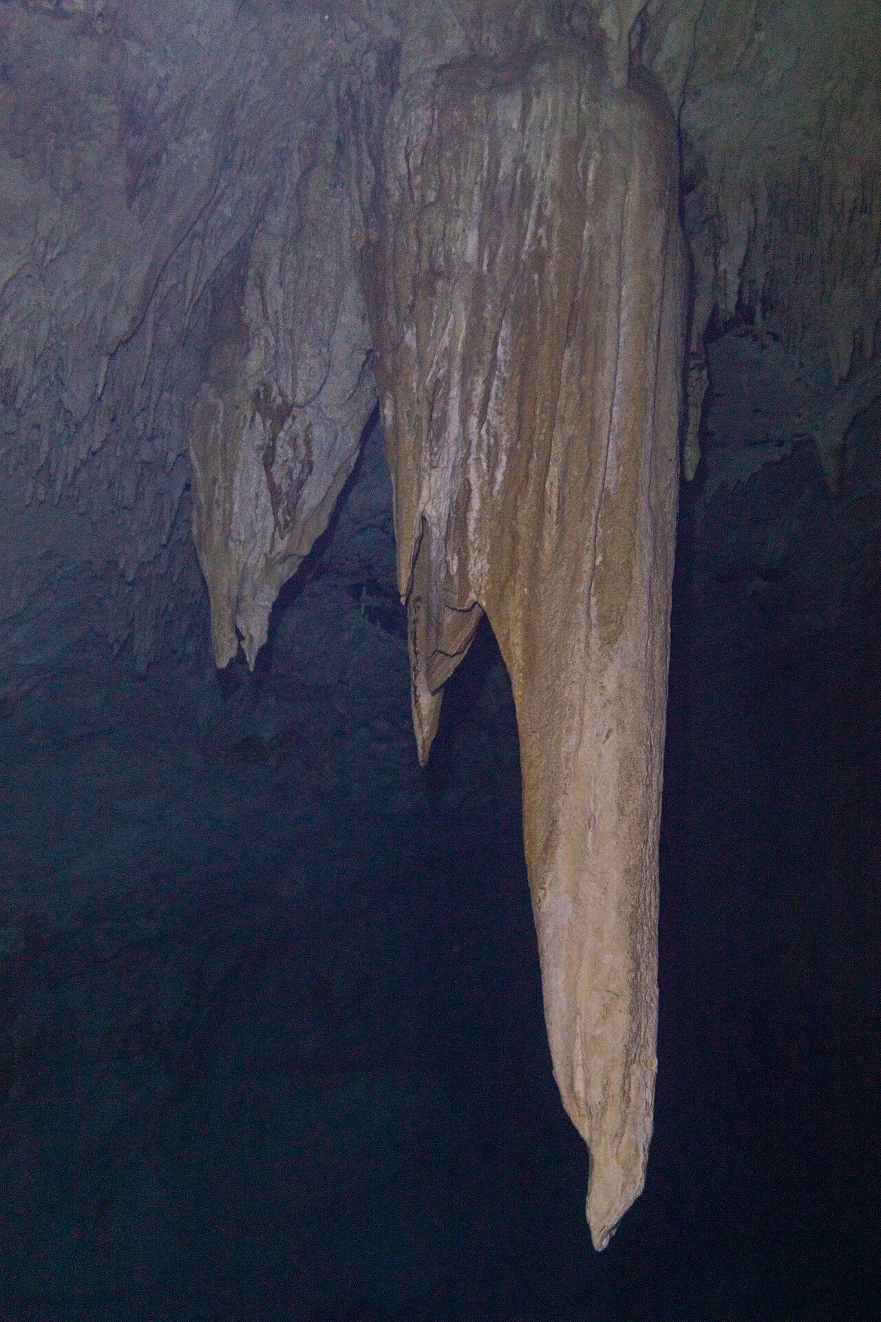
Cenote The Pit
Level 3 - Advanced: CREER cenote level (guided cavern diving) [1] [2] (CREER describes Level 3 cenotes as deep and fragile with longer cavern lines.). Estas categorías pertenecen al esquema indicado; describen la formación que requiere cada sitio.
A deep, narrow cenote beyond Dos Ojos known for sunbeams, a halocline and a hydrogen sulphide cloud at about 30 m; CREER rates it Level 3 (Advanced) for guided cavern diving.
The Pit is a steep-sided sinkhole a few kilometres past the Dos Ojos entrance. Operators describe a descent through clear fresh water, across a shallow halocline, to a sloping ceiling hung with stalactites where light beams enter, and below that a milky layer of hydrogen sulphide (a gas produced by decaying organic matter at the fresh-salt boundary) from about 30 m, through which tree branches on the debris cone can be seen.
CREER rates The Pit as Level 3 (Advanced): deep, fragile and with longer cavern lines, so guided cavern divers must already have dived a Level 2 cenote. CREER's guide rules cap guided cavern dives at 30 m and keep them within daylight. The Pit is described by Pro Dive International as part of the Dos Ojos system, which is now part of Sac Actun.
The entrance is steep and narrow, and operators recommend pulleys for lowering heavy equipment.
El entorno
Deep open shaft with a halocline and a hydrogen sulphide layer; cave passages lead off at depth.
Condiciones
Typical conditions only: best light is reported early in the day. Operators describe a hydrogen sulphide cloud starting around 30 m. CREER limits guided cavern dives to 30 m.
Rangos típicos de fuentes publicadas, no condiciones actuales.
Instalaciones
Steep, narrow entry; pulleys are recommended for heavy equipment (Pro Dive International).
Otras entradas a Sistema Sac Actun
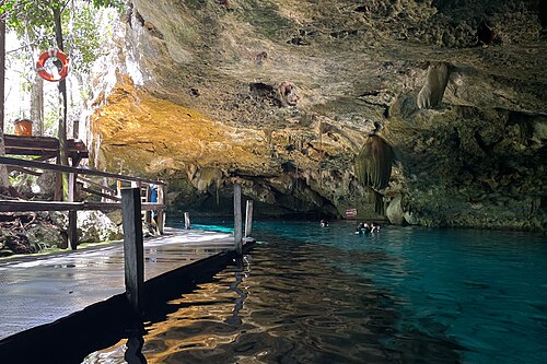
Cenote Dos Ojos
Cenote Dreamgate
Cenote Naval
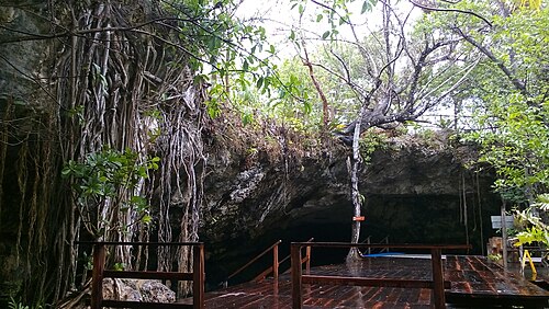
Cenote Nohoch Nah Chich
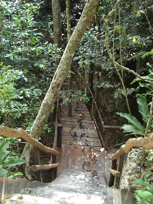
Cenote Pet Cemetery
Solo para orientación, no para navegación. Los puntos huecos son aproximados.
Cada dato de esta página, con su fuente (7)
| Dato | Estado | Fuente |
|---|---|---|
| CREER rates The Pit as Level 3 (Advanced), with cavern diving listed as open.Ratings page viewed 2026-10-14. | Verificado | [1] [2] |
| CREER Level 3 requires the Level 2 requirements plus a previous dive in a Level 2 cenote, with at most 4 divers per guide; CREER's general guide rules cap guided cenote dives at 30 m and within the limits of natural light. | Verificado | [2] |
| Pro Dive International describes a hydrogen sulphide layer beginning at about 30 m, a shallow halocline and a sloping ceiling at about 10 m with stalactites.Operator description; the same page says the dive goes to 40+ m, beyond CREER's 30 m limit for guided cavern dives. | Reportado | [3] |
| Pro Dive International places The Pit 2.8 km past Dos Ojos and describes its entrance as steep and narrow. | Reportado | [3] |
| Pro Dive International describes El Pit as part of the Dos Ojos system.Dos Ojos was absorbed into Sac Actun in 2018 (QRSS). | Reportado | [5] |
| Under the Jungle adds a 25 USD surcharge for El Pit because of high entrance fees and groups it with sites requiring previous cavern experience and advanced open-water certification.Provider price list dated January 2026. | Reportado | [4] |
| Pro Dive International describes the entrance as steep and narrow and recommends pulleys for heavy equipment. | Reportado | [3] |
Verificado: declarado por una fuente oficial o primaria que consultamos directamente. Reportado: basado únicamente en una fuente secundaria. Fuentes en conflicto: la nota recoge ambas versiones. Puede estar desactualizado: la fuente más reciente que encontramos es antigua.
Redactado con nuestras propias palabras a partir de las fuentes anteriores. Reportar una corrección