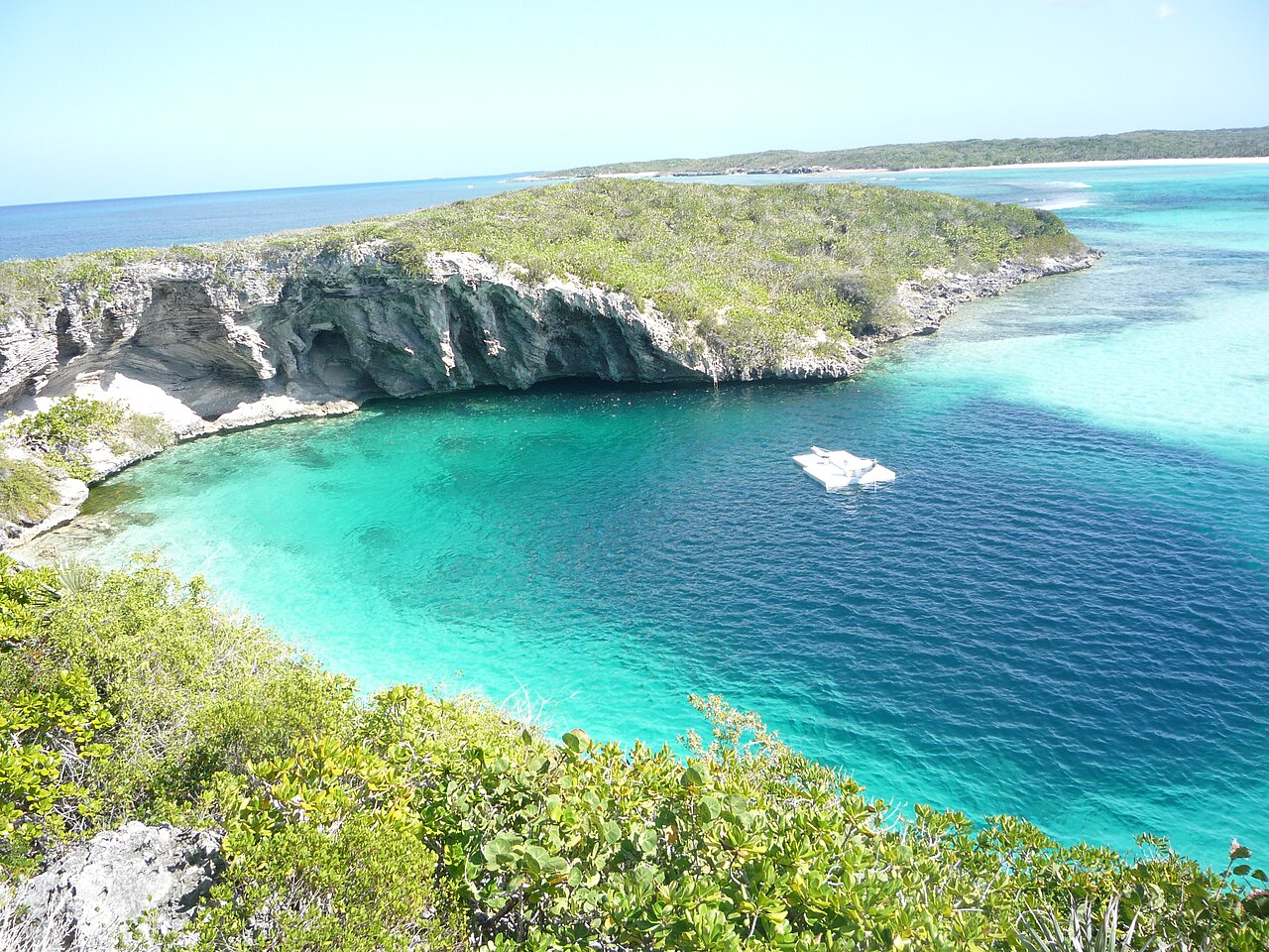
Dean's Blue Hole
A beach-side blue hole on Long Island, about 202 m deep, with a narrow neck opening into a vast chamber. It is used mainly for freediving and snorkelling.
The hole is entered from a sandy beach in a sheltered bay. Its rim ledges and the coral-covered sides of the entrance hold reef fish, and a school of tarpon is reported to hang at about 20 m. Below the neck, the walls open out into a very large chamber.
The site is the venue of the Vertical Blue freediving competition. No land-manager rules for scuba or cave diving are published.
L'environnement
Open, sheltered blue hole: surface opening about 45 x 55 m, ledges at 10-15 m, then a chamber at least 100 m across descending to about 202 m.
Conditions
The freediving organiser reports no current or waves inside the hole and visibility of about 10 to 50 m (typical).
Fourchettes indicatives issues de sources publiées, pas les conditions actuelles.
Pour s'orienter, pas pour naviguer. Les points creux sont approximatifs.
Chaque information de cette page, avec sa source (6)
| Information | Statut | Source |
|---|---|---|
| The hole is about 663 ft (202 m) deep.Vertical Blue gives 203 m. | Signalé | [1] [2] |
| The opening is about 45 x 55 m, narrowing to about 25 x 35 m with ledges at 10-15 m, above a cavern at least 100 m across. | Signalé | [2] |
| A resident school of tarpon is found at about 20 m. | Signalé | [2] |
| Visibility is about 10 to 50 m.Typical, not current. | Signalé | [2] |
| The hole is reached by a rocky pathway from the surrounding beach. | Vérifié | [1] |
| Coordinates are for Clarence Town (GeoNames), the settlement where the hole is located.Area-level. | Signalé | [3] |
Vérifié : indiqué par une source officielle ou primaire que nous avons consultée. Signalé : issu d'une source secondaire uniquement. Sources contradictoires : la note présente les deux versions. Peut être obsolète : la source la plus récente que nous avons trouvée est ancienne.
Rédigé dans nos propres mots à partir des sources ci-dessus. Signaler une correction