Olhos de Água do Alviela
1,370 m surveyed during the CNPS-FFESSM expedition; total cave length not stated. Reached during the CNPS-FFESSM expedition, more than 700 m from the entrance.
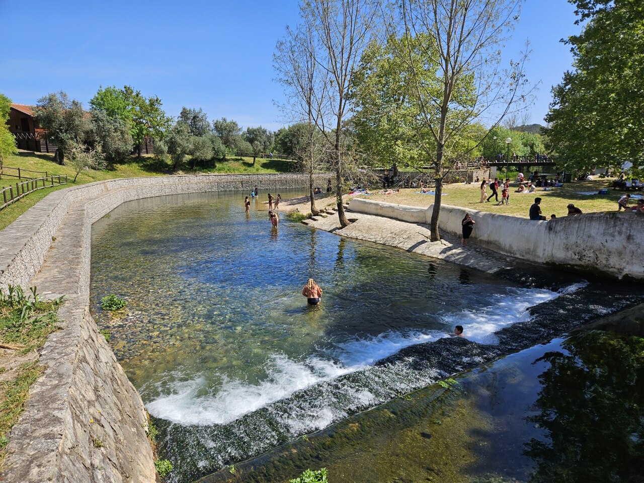
The main karst spring of the river Alviela at the foot of the Monsanto syncline in central Portugal, once tapped for Lisbon's water supply. A French-Portuguese expedition surveyed 1,370 m and reached 125 m depth.
The Olhos de Água do Alviela rise at the foot of the Monsanto syncline and drain most of the Planalto de Santo António karst plateau, with part of the water thought to come from the Mira-Minde polje to the north-east. In the early twentieth century the spring was captured and linked by aqueduct to Lisbon, though it was later replaced by other sources.
The flooded cave descends as a sizeable gallery, 4 to 8 m across in places, with side branches. Patrick Jolivet reached about 580 m and 98 m depth in 1988. A national cave-diving commission (CNPS) expedition of the FFESSM, organised with Portuguese cavers who handled accommodation, re-lining and authorisations, re-equipped the line, surveyed 1,370 m including about 200 m of new passage, and stopped at 125 m depth more than 700 m from the entrance.
The account notes a water temperature of about 17 °C and a depigmented crayfish seen 140 m into a side passage.
Water, flow and flooding
The spring drains the Planalto de Santo António; tracing work cited by the expedition indicates that part of the water comes from the Mira-Minde polje.
Why it matters
A major Portuguese karst spring, historically part of Lisbon's water supply, and the deepest documented cave dive in the sources found for Portugal.
Conditions
Visibility on some dives in side passages dropped to 0.5-1.5 m on the return.
Typical ranges from published sources, not current conditions.
Survey and exploration history
| 1988 | Patrick Jolivet reaches about 580 m from the entrance at -98 m. [1] |
| 2002 | A CNPS-FFESSM expedition with Portuguese cavers re-lines and surveys 1,370 m and reaches -125 m. [1] |
Entrances and dive sites
One entrance, the spring pool; the expedition rigged a tyrolean to move equipment to the pool edge and a rope deviation for the last pitch.
No individual entrances are listed for this system yet.
Every fact on this page, with its source (7)
| Fact | Status | Source |
|---|---|---|
| The expedition's deepest dive stopped at -125 m more than 700 m from the entrance. | Verified | [1] |
| The expedition produced 1,370 m of survey and about 200 m of new passage with a maximum depth of -125 m. | Verified | [1] |
| Patrick Jolivet's 1988 terminus was at about 580 m and -98 m. | Verified | [1] |
| The expedition is filed on the FFS site as the 2002 FFESSM account; the text says the CNPS adopted the project in September 2002.Exact expedition dates are not stated in the account. | Reported | [1] |
| The account mentions water at about 17 °C. | Verified | [1] |
| The spring drains most of the Planalto de Santo António, with part of the water coming from the Mira-Minde polje; it was captured for Lisbon's water supply by an aqueduct built early in the twentieth century. | Verified | [1] |
| Portuguese partners handled accommodation, re-equipping the cave and the authorisations for the expedition. | May be out of date | [1] |
Verified: stated by an official or primary source we opened. Reported: from a secondary source only. Sources conflict: the note gives both versions. May be out of date: the newest source we found is old.
Written in our own words from the sources above. Report a correction