Sistema Sac Actun
Underwater surveyed length on the QRSS list updated 2025-01-19 (reported by Alvarez/Nava/Reato/Picard, 12/2024). In 2018 INAH and National Geographic reported 347 km after the Dos Ojos connection. QRSS long-cave list gives -119.2 m; the QRSS deep-cave list gives -119.1 m for the same report.
A flooded cave network north of Tulum that has absorbed several once-separate systems, including Nohoch Nah Chich (2007), Aktun Hu (2011) and Dos Ojos (2018). QRSS listed it at 379,569 m of underwater passage in December 2024, second only to Ox Bel Ha.
Sistema Sac Actun is a single connected network of flooded passages with well over two hundred cenote entrances on the QRSS list. Under the cave-naming convention used in Quintana Roo, when two surveyed caves are joined the larger name usually carries on, so several systems that divers still know by their own names, such as Nohoch Nah Chich, Aktun Hu and Dos Ojos, are now counted as parts of Sac Actun.
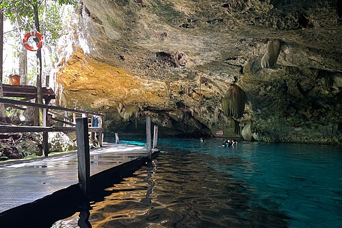
Most divers meet the system through its cenotes on the coastal strip north of Tulum: Dos Ojos, The Pit, Pet Cemetery and Dreamgate are among the entrances whose connection to Sac Actun is documented by QRSS or by operators. Guided cavern tours stay on fixed gold-coloured cavern lines within reach of daylight, while cave-certified teams use the white permanent guidelines that run deeper into the system.
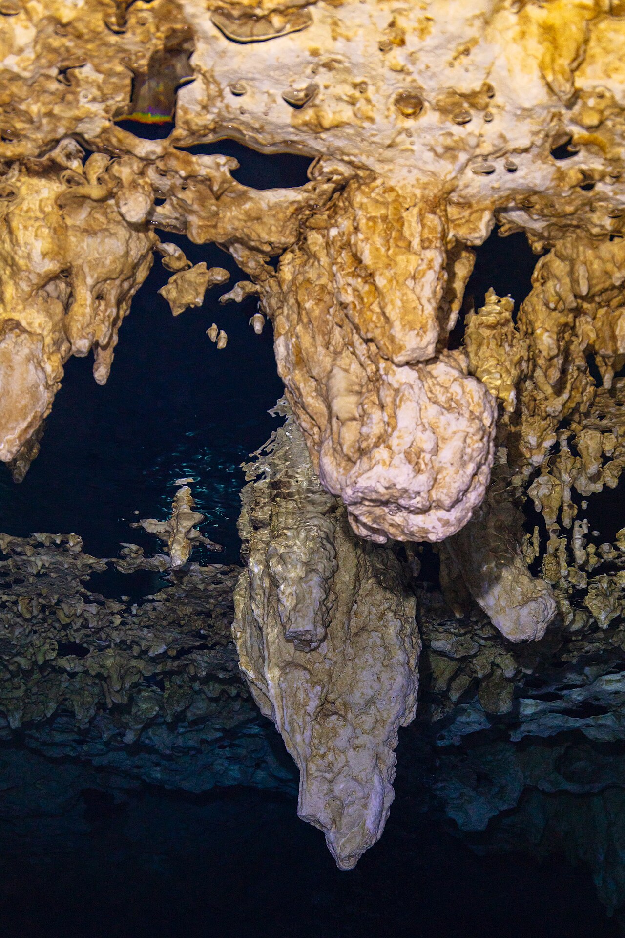
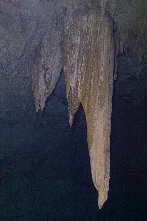
The passages are mostly shallow and richly decorated with stalactites, stalagmites and columns that formed when the caves were dry during glacial low sea levels. Where passages drop below the fresh water, divers pass through a halocline. The system also contains deep sections; QRSS records a maximum depth of about 119 m.
Sac Actun matters well beyond diving. In 2007 its connection with Nohoch Nah Chich made it, briefly, the longest surveyed underwater cave known. The Hoyo Negro pit in the former Aktun Hu section yielded the skeleton known as Naia, dated to 13,000-12,000 years ago, and the INAH-led Gran Acuífero Maya project has described the wider system as a major underwater archaeological site.
Geología
QRSS describes the Yucatán caves as dissolution conduits formed in Tertiary limestone along bedding fractures, enlarged where fresh and salt water mix. During glacial periods, when sea level was up to about 125 m lower, the passages drained, ceilings collapsed into the sinkholes now called cenotes, and speleothems grew in the air-filled caves before rising seas flooded them again.
Agua, flujo e inundaciones
Fresh groundwater flows through the upper passages toward the Caribbean over a near-static layer of salt water. The halocline, the sharp boundary between them, lies deeper the farther a passage is from the coast, and stirring it reduces visibility. CREER describes most Quintana Roo caves as low or no flow, with typical depths of 5-20 m.
Por qué es importante
Hoyo Negro, a deep pit in the Aktun Hu section, contained a near-complete late Pleistocene human skeleton with extinct fauna; a 2014 study in Science dated it to between 13,000 and 12,000 calendar years ago and linked it to a Beringian-derived mitochondrial lineage. In 2018 INAH's Gran Acuífero Maya project announced the underwater link between Sac Actun and Dos Ojos and reported archaeological contexts in more than 200 cenotes, including remains of extinct Pleistocene animals and Maya ritual material.
Condiciones
Typical cenote water temperatures given by operators are about 24-26 °C. Visibility in fresh water is often very high but drops sharply where the halocline or silt is disturbed.
Rangos típicos de fuentes publicadas, no condiciones actuales.
Historia de topografía y exploración
| 2007-01 | QRSS recorded the final underwater connection between Sac Actun and Sistema Nohoch Nah Chich, with Sac Actun then described as the longest underwater cave known. [2] |
| 2011-01 | Sac Actun was connected to Sistema Aktun Hu on 30 January 2011; QRSS then gave 215,246 m of underwater passage. [2] |
| 2012-12 | QRSS noted a dry connection between Dos Ojos and Sac Actun (Pet Cemetery area). [2] |
| 2018-01 | The Gran Acuífero Maya project announced the underwater connection with Sistema Dos Ojos, giving a combined 347 km. [3] [2] |
| 2024-12 | QRSS list entry updated to 379,569 m underwater with a maximum depth of 119.2 m. [1] |
Entradas y sitios de buceo
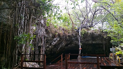
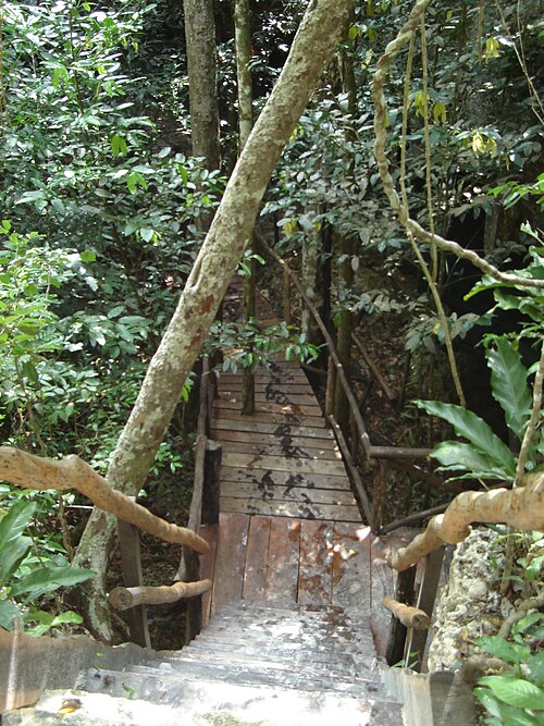
QRSS lists 229 cenotes for the system, flagged as approximate. Only some are run as public dive sites; entrances used by operators and documented as part of Sac Actun include Dos Ojos, The Pit, Pet Cemetery, Dreamgate and Nohoch Nah Chich. Hoyo Negro's access path is gated and reserved for controlled scientific diving.
Cenote Dos Ojos
Cenote Dreamgate
Cenote Naval
Cenote Nohoch Nah Chich
Cenote Pet Cemetery
Cenote The Pit
Solo para orientación, no para navegación. Los puntos huecos son aproximados.
Lecturas recomendadas
A short history of underwater cave exploration: dated milestones
Archaeology and palaeontology in underwater caves
Conservation, landowners and responsible access
Groundwater, haloclines and water quality in flooded caves
How underwater caves are surveyed and studied
How underwater caves form: karst, dissolution and drowned passages
Life in flooded caves: stygofauna, remipedes and the diver's footprint
Threats to underwater caves today, and how they are protected
Cave Areas of Quintana Roo (QRSS cave footprint map) ↗
Cave development on the Caribbean coast of the Yucatan Peninsula, Quintana Roo, Mexico ↗
CINDAQ Annual Report 2025 ↗
Hoyo Negro Project ↗
Late Pleistocene Human Skeleton and mtDNA Link Paleoamericans and Modern Native Americans ↗
Long Underwater Caves in Quintana Roo (QRSS list) ↗
Quintana Roo Speleological Survey (QRSS) ↗
Reconstructing water level in Hoyo Negro, Quintana Roo, Mexico, implications for early Paleoamerican and faunal access ↗
Review: The Yucatán Peninsula karst aquifer, Mexico ↗
U/Th dated speleothems from submerged caves in the northeastern Yucatan Peninsula ↗
Cada dato de esta página, con su fuente (24)
| Dato | Estado | Fuente |
|---|---|---|
| QRSS lists Sistema Sac Actun at 379,569 m of underwater passage, reported 12/2024.List updated 2025-01-19. | Verificado | [1] |
| When the Dos Ojos connection was announced in 2018, the combined system was reported as 347 km long.2018 figure, superseded by the QRSS 2024 entry. | Puede estar desactualizado | [3] |
| QRSS gives a maximum depth of 119.2 m for Sac Actun on its long-cave list and 119.1 m on its deep-cave list.0.1 m difference between two QRSS tables for the same 12/2024 report. | Las fuentes no coinciden | [1] [4] |
| QRSS lists 229 cenotes for Sac Actun, marked with a question mark as uncertain. | Verificado | [1] |
| QRSS recorded the final Sac Actun-Nohoch Nah Chich connection in January 2007, giving a traverse length of about 152,975 m. | Verificado | [2] |
| Sac Actun was connected to Aktun Hu on 30 January 2011. | Verificado | [2] |
| QRSS recorded the underwater connection of Sac Actun and Dos Ojos in its 2018-05-07 update, after a dry connection noted in December 2012. | Verificado | [2] |
| INAH's Gran Acuífero Maya project, led by Guillermo de Anda, identified the Sac Actun-Dos Ojos connection and reported a 347 km system.Press report of an INAH announcement; the INAH bulletin itself was not opened. | Reportado | [3] |
| Hoyo Negro lies in the Aktun Hu submerged cave system and was found in 2007 by cave explorers Alberto Nava, Alex Alvarez and Franco Attolini.Aktun Hu was absorbed into Sac Actun in January 2011 (QRSS). | Verificado | [7] |
| A near-complete human skeleton found with extinct fauna in a submerged Yucatán cave dates to between 13,000 and 12,000 calendar years ago and carries mtDNA haplogroup D1.Abstract read via the PubMed record (doi:10.1126/science.1252619). | Verificado | [8] |
| The Gran Acuífero Maya project reported archaeological contexts in more than 200 cenotes, including extinct Pleistocene fauna and Maya ritual material. | Reportado | [3] |
| Access to Hoyo Negro is controlled through a gated, fenced and posted road and path to the Ich Balam entrance, with a platform built to support controlled scientific diving.Described in 2012; current arrangements not verified. | Verificado | [7] |
| CREER publishes per-cenote cavern and cave status; for example it lists cave diving at Dreamgate as not permitted until further notice (note dated 2024-02-27).Page undated overall; viewed 2026-10-14. | Verificado | [5] |
| CREER's cenote levels require a minimum age of 15 and open-water certification for guided cavern dives, with a prior dive at the level below required for higher levels.From the 2022 summary of the cenote guide manual. | Verificado | [13] |
| CREER's visiting cave diver registration asks for the diver's highest-level cave certification.Registration is described as not mandatory. | Verificado | [14] |
| CREER describes most Quintana Roo cave systems as relatively shallow, often 5-20 m, and generally low to no flow, with a halocline that is deeper farther from the ocean.General regional description, not specific to Sac Actun. | Verificado | [6] |
| QRSS describes sea level rising from about 125 m below present beginning about 18,000 years ago, flooding caves that had been drained during glacial periods.QRSS geology page last updated 2001. | Verificado | [9] |
| Under QRSS naming practice, the larger cave's name normally applies to a combined system. | Verificado | [15] |
| Pro Dive International describes Pet Cemetery as part of the Sac Actun system and says El Pit belongs to the Dos Ojos system.Operator statements. | Reportado | [10] [11] |
| Operators describe cenote water as about 24-26 °C.Pro Dive: about 24 °C; Under the Jungle: 25-26 °C. | Las fuentes no coinciden | [11] [12] |
| QRSS recorded Dream Gate as connected to Sac Actun in its 2009-05-23 update, and Mundo Escondido as connected underwater in December 2012. | Verificado | [2] |
| In Quintana Roo cavern lines are thick gold kernmantle line, while permanent cave lines are white.CREER guidance, June 2025. | Verificado | [6] |
| QRSS reported in January 2025 that Sac Actun was still growing in remote parts of the Dos Ojos and Aktun Hu areas.QRSS update dated 2025-01-28. | Verificado | [2] |
| CREER says single-tank cavern diving is allowed only at designated cavern sites under a qualified local guide.CREER guidance dated 2025-06-20. | Verificado | [6] |
Verificado: declarado por una fuente oficial o primaria que consultamos directamente. Reportado: basado únicamente en una fuente secundaria. Fuentes en conflicto: la nota recoge ambas versiones. Puede estar desactualizado: la fuente más reciente que encontramos es antigua.
Redactado con nuestras propias palabras a partir de las fuentes anteriores. Reportar una corrección