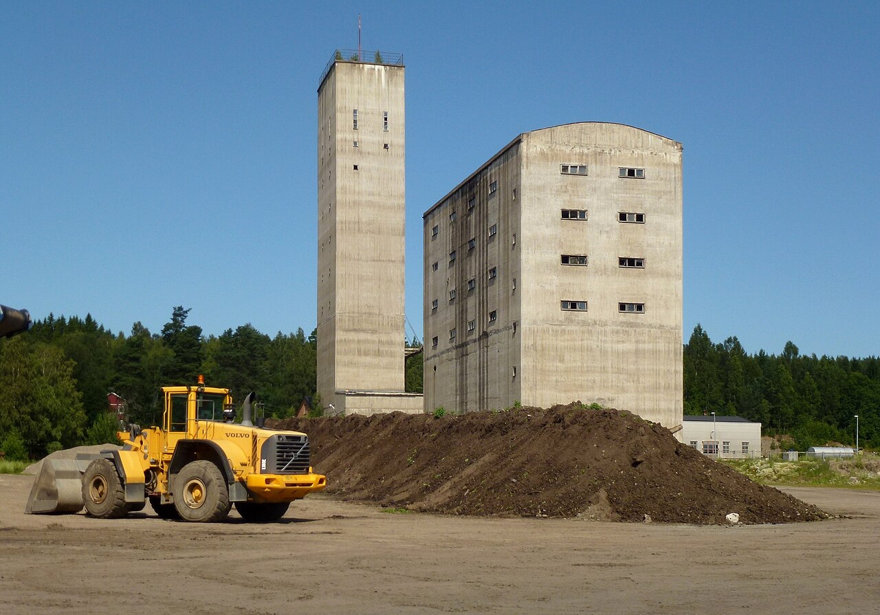
Tuna-Hästberg Mine (Äventyrsgruvan)
More than 7 km of permanent guideline installed in the mine, per the operator's diving page viewed 2026-10-14 (NGDF also gives about 7 km of permanent line). This is guideline length, not a surveyed tunnel length. No maximum water depth is published. The deepest shafts reached 552 m when the mine was worked; NGDF notes the first diving level at 30 m water depth and a water source at 90 m.
A former iron mine in Dalarna, now a visitor attraction, whose flooded levels about 80 m underground hold more than 7 km of permanent guideline. Diving is run commercially by the mine operator: guided dives for experienced open-water divers and technical dives for overhead-trained divers.
Tuna-Hästberg is a former iron ore mine in Dalarna, central Sweden, worked for at least 500 years until it closed and the pumps stopped in 1968; its deepest shafts reached 552 m. Since 2009 it has been run as Äventyrsgruvan (the Adventure Mine) by an economic association that took over from the volunteer group Baggbodykarna, with underground tours, a sauna ritual, events and diving. The diving level lies roughly 80 m below the surface: divers walk down while equipment goes by lift or along the old mine railway.
The operator runs two kinds of diving. Guided dives in an open part of the flooded workings, limited to about 21 m and one hour, are open to experienced Advanced Open Water drysuit divers. Technical overhead dives along more than 7 km of permanently installed guideline are for divers trained in cave or mine diving.
The Norwegian cave divers association describes the mine as commercially run, with about 30 m visibility year-round and a first diving level at 30 m water depth, and notes that divers without cave certification can dive there.
Condições
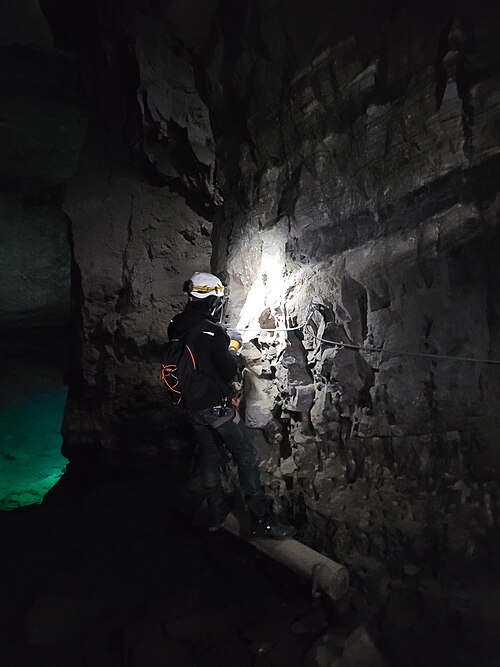
Cold, stable water of about 4-5 °C. The operator says visibility at the technical site is always more than 30 m, and its company page cites roughly 40 m in the underground lakes.
Faixas típicas de fontes publicadas, não as condições atuais.
Histórico de levantamento topográfico e exploração
| 1968 | Mining ends and pumping stops; the lower workings flood. [3] |
| 2009 | The economic association Äventyrsgruvan takes over operations and equipment from the volunteer group Baggbodykarna. [3] |
Entradas e pontos de mergulho
A single managed access via the visitor mine; divers walk about 80 m down to water level.
Cada informação desta página, com sua fonte (8)
| Informação | Status | Fonte |
|---|---|---|
| More than 7 km of guideline is permanently installed in the mine.Operator and NGDF agree; guideline length, not survey length. | Reportado | [1] [2] |
| Water in the flooded section is about 4-5 °C.Provider claim. | Reportado | [1] |
| Visibility is always more than 30 m at the technical site.NGDF gives about 30 m year-round. | Reportado | [1] [2] |
| Diving runs year-round and is booked by email with the operator; guided open-water-style dives can also be booked through partner dive shops.Page undated; viewed 2026-10-14. | Reportado | [1] |
| Guided mine diving requires at least Advanced Open Water or equivalent and 10 dives in the past year; the flooded-section dives list drysuit and nitrox certificates and 25 dives after training; technical diving requires Full Cave, Intro to Cave or Mine Diver training.The operator's page gives two different dive-count requirements. | Reportado | [1] |
| The first diving level is at 30 m water depth and the water source is at 90 m. | Reportado | [2] |
| Mining at Tuna Hästberg ended and pumping stopped in summer 1968; the deepest shafts reached 552 m.Operator history page. | Reportado | [3] |
| The site is operated by Äventyrsgruvan, an economic association formed in 2009. | Reportado | [3] |
Verificado: declarado por uma fonte oficial ou primária que consultamos. Relatado: proveniente apenas de uma fonte secundária. Fontes divergem: a nota apresenta as duas versões. Pode estar desatualizado: a fonte mais recente que encontramos é antiga.
Escrito com nossas próprias palavras a partir das fontes acima. Reportar uma correção