British Virgin Islands
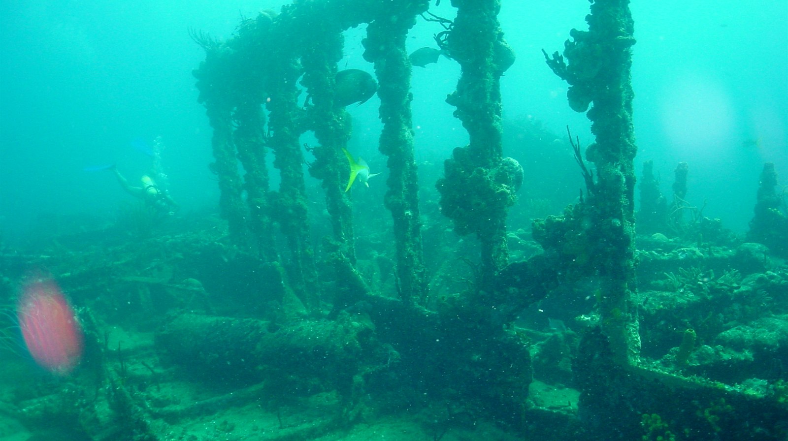
The British Virgin Islands are a sailing nation first, and their diving inherits the same geography: dozens of islets, pinnacles, and protected channels packed into a small, boat-friendly archipelago. At the heart of it all lies the RMS Rhone, the 1867 Royal Mail steamer whose coral-covered wreck became the territory's first marine national park and still remains the Caribbean's most storied shipwreck dive.
Waarom hier duiken
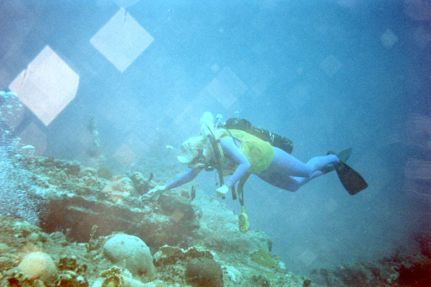
Everything here is close, calm, and mooring-buoyed. The Rhone rewards two full dives, from the intact bow section resting in twenty-plus meters to the shallow stern with its enormous propeller, and more than a century underwater has upholstered every surface in coral and sponge. Around the corner, granite pinnacles like The Indians and Blonde Rock concentrate fish life in gullies and overhangs, Dead Chest's Painted Walls funnel divers through sponge-lined canyons, and Ginger Island's mushroom-shaped coral heads shelter garden eels and passing eagle rays. Norman Island's caves tie the diving to the territory's pirate lore. Sites rarely exceed thirty meters, currents are usually modest, and National Parks Trust moorings keep anchors off the reef, which makes the BVI one of the easiest places in the Caribbean to combine real wreck history with relaxed diving, whether from a dive resort, a day boat, or your own chartered catamaran.
Maand voor maand
November-May is prime charter and diving season. Hurricane season peaks August-October; the territory rebuilt its dive infrastructure after Hurricane Irma in 2017.
| Maand | Water | Zicht | Hoe het voelt |
|---|---|---|---|
| January●●●●● | 25–26 °C / 77–79 °F | 18–30 m | |
| February●●●●● | 25–26 °C / 77–79 °F | 18–30 m | |
| March●●●●● | 25–27 °C / 77–81 °F | 18–30 m | |
| April●●●●● | 26–27 °C / 79–81 °F | 18–30 m | |
| May●●●●○ | 27–28 °C / 81–82 °F | 18–30 m | |
| June●●●●○ | 27–29 °C / 81–84 °F | 15–25 m | |
| July●●●●○ | 28–29 °C / 82–84 °F | 15–25 m | |
| August●●●○○ | 28–30 °C / 82–86 °F | 15–25 m | |
| September●●○○○ | 28–30 °C / 82–86 °F | 15–25 m | Peak hurricane season; many boats haul out. |
| October●●●○○ | 28–29 °C / 82–84 °F | 15–25 m | |
| November●●●●○ | 27–28 °C / 81–82 °F | 18–30 m | |
| December●●●●● | 26–27 °C / 79–81 °F | 18–30 m |
Betrouwbaarheid van de maandcijfers: Documented. Maanden zonder rij hebben geen geverifieerde gegevens. We tonen liever een leemte dan dat we er een verzinnen.
De duiklocaties (6)
| Locatie | Type | Diepte | Niveau | Toegang | |
|---|---|---|---|---|---|
| Alice in Wonderland Giant mushroom coral heads, sand avenues with garden eels, uncrowded… | Reef | 10–28 m | Intermediate | Boat | |
| Blonde Rock Fish-stacked ledges on an isolated seamount, regular eagle rays | Pinnacle | 4–18 m | Intermediate | Boat | |
| Painted Walls Sponge-painted canyon corridors, pirate-lore setting, vivid shallow color | Reef | 5–13 m | Intermediate | Boat | |
| RMS Rhone Intact coral-sheathed bow section, giant propeller in the shallows, richest… | Wreck | 6–26 m | Intermediate | Boat | |
| The Caves at Norman Island Swimmable treasure-lore caves, sweeper-filled inner chambers, easy reef… | Cave | 2–12 m | Beginner | Boat | |
| The Indians Pinnacle canyons and tunnel, dense tame fish life, diver-snorkeler… | Pinnacle | 3–15 m | Beginner | Boat |
Wrakken hier
RMS Rhone
Hoe kom je er & verblijf
Hoe kom je er: Fly to Beef Island via San Juan, Antigua, or regional hubs, or take the ferry from St Thomas in the US Virgin Islands. Most dive operators work out of Tortola, Virgin Gorda, and Cooper Island.
Waar verblijven: Land-based divers favor Tortola's south coast or Cooper Island for short runs to the Rhone; sailors simply anchor nearby and let the dive boat come to them.
Kosten: Rendezvous diving, where operators pick divers up from charter yachts, is standard and priced similarly. Editorial estimate; confirm current rates.
Tussen de duiken door: Bareboat and crewed sailing, The Baths on Virgin Gorda, beach bars of Jost Van Dyke, and paddleboarding the sheltered sounds.
Veiligheid & praktische zaken
Gevaren: Winter ground seas can bring surge to shallow sites; heavy charter-boat traffic in the channels; hurricane season June-November.
Surface with a marker near the moorings; the channels between islands carry constant yacht traffic.
Dichtstbijzijnde recompressiekamer: There is no recompression chamber in the territory; cases typically evacuate to the US Virgin Islands or Puerto Rico. Emergencies go through EMS and DAN first.