Koh Tao
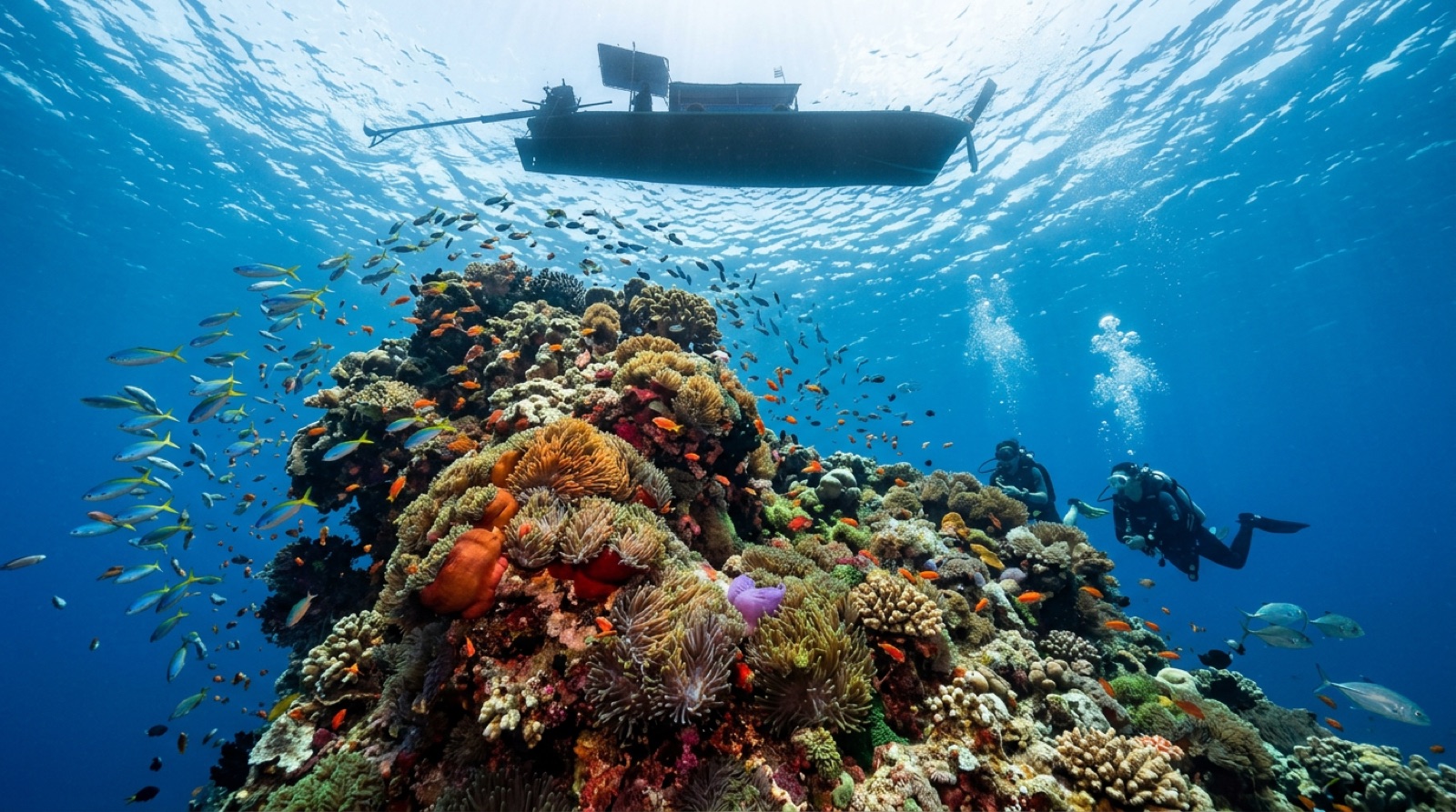
Koh Tao, a small granite island in the Gulf of Thailand, certifies more new divers than almost anywhere on earth. Courses are cheap, the water is warm, and sheltered bays sit minutes from a strip of dive schools. Beyond the training reefs wait genuinely good sites: the fish tornadoes of Chumphon Pinnacle and Sail Rock, the scuttled navy ship Sattakut, and seasonal whale sharks that can appear on any given morning.
Por que mergulhar aqui
Nowhere makes learning to dive easier or cheaper without feeling like a compromise. Entry-level courses run daily from dozens of schools, and the island's geography does the teaching: calm, shallow bays like Japanese Gardens for skills, then boulder reefs a short ride out where turtles, snapper, and anemone cities keep every dive interesting. Graduates get real rewards fast. Chumphon Pinnacle stacks trevally, barracuda, and batfish over a granite tower; Sail Rock's vertical chimney is one of Asia's best-known swim-throughs; and the HTMS Sattakut, a WWII-era landing craft scuttled in 2011, adds a proper wreck at Advanced depth. Whale sharks cruise through often enough, mostly around March to May and again in the later monsoon lull, that longboats fill within the hour when one is called. Visibility and crowds both fluctuate, and the marquee sites can feel busy, but for value, ease, and a base to build experience, Koh Tao remains the Gulf's obvious answer.
Mês a mês
Diving runs all year. February to September is generally best, with the calmest, clearest stretches often March-May and July-September; the northeast monsoon around November-December brings rain, wind, and the year's roughest seas.
| Mês | Água | Visibilidade | Como é |
|---|---|---|---|
| January●●●○○ | 27–29 °C / 81–84 °F | 10–20 m | Monsoon tail; conditions rebuild through the month. |
| February●●●●○ | 27–29 °C / 81–84 °F | 10–25 m | Seas settle and schools return to the pinnacles. |
| March●●●●● | 28–30 °C / 82–86 °F | 15–25 m | Clear, calm, and the whale-shark drumbeat begins. |
| April●●●●● | 29–31 °C / 84–88 °F | 15–25 m | Warmest water of the year; peak sighting season. |
| May●●●●○ | 29–31 °C / 84–88 °F | 10–25 m | Still excellent; brief squalls appear. |
| June●●●●○ | 28–30 °C / 82–86 °F | 10–20 m | Steady southwest-season diving on the usual rounds. |
| July●●●●○ | 28–30 °C / 82–86 °F | 10–20 m | Reliable conditions; busy course season. |
| August●●●●○ | 28–30 °C / 82–86 °F | 10–20 m | Good visibility windows between showers. |
| September●●●●○ | 28–30 °C / 82–86 °F | 10–25 m | Often underrated; whale sharks reappear. |
| October●●●○○ | 28–30 °C / 82–86 °F | 8–20 m | Transition month with building rain. |
| November●●○○○ | 27–29 °C / 81–84 °F | 5–15 m | Northeast monsoon peaks; expect cancellations. |
| December●●○○○ | 27–29 °C / 81–84 °F | 5–15 m | Rough, rainy weeks; some years clear early. |
Confiança nos dados mensais: Documented. Os meses sem linha não têm dados verificados — preferimos mostrar uma lacuna a inventar informação.
Os sites de mergulho (7)
| Local | Tipo | Profundidade | Nível | Acesso | |
|---|---|---|---|---|---|
| Chumphon Pinnacle Anemone-carpeted summit, torrents of trevally and barracuda, the island's… | Pinnacle | 14–36 m | Intermediate | Boat | |
| HTMS Sattakut Mounted bow and stern guns, an intact upright hull at Advanced depth, easy… | Wreck | 18–30 m | Intermediate | Boat | |
| Japanese Gardens First-dive calm, healthy shallow coral, turtle flybys through training… | Reef | 2–16 m | Beginner | Boat | |
| Sail Rock The Chimney swim-through, bait-ball density on a lone monolith, regular… | Pinnacle | 5–34 m | Intermediate | Boat | |
| Shark Island Soft-coral variety, sea kraits and rays, an honest name-myth debunking | Reef | 4–24 m | Intermediate | Boat | |
| Southwest Pinnacle Spire-and-gully topography, outsized groupers, anemone glow with fewer boats | Pinnacle | 6–30 m | Intermediate | Boat | |
| White Rock Turtles and rays in easy depths, the island's classic night dive… | Reef | 3–22 m | Beginner | Boat |
Vida marinha que podes planear com antecedência
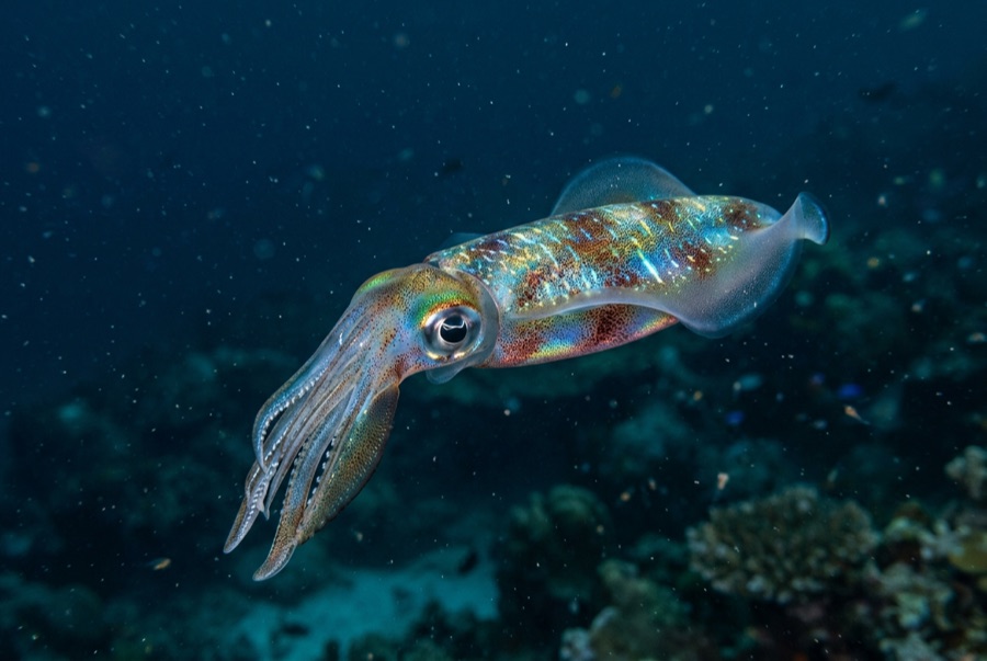
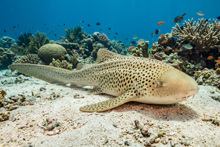
Green and hawksbill turtles, big schools of trevally, barracuda and fusiliers on the pinnacles, blue-spotted ribbontail rays, titan triggerfish (respect their nesting cones), banded sea kraits, plentiful anemonefish, and seasonal whale sharks.
Naufrágios aqui
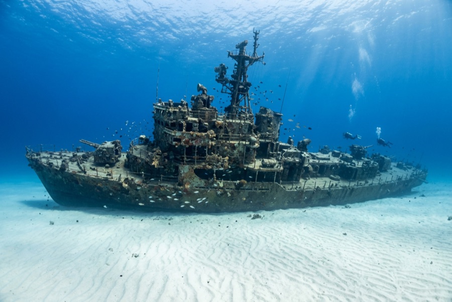
HTMS Sattakut
Como chegar e onde ficar
Como chegar: Either fly to Koh Samui and catch roughly two hours of ferries via Koh Phangan, or take the overnight-friendly bus-or-train-plus-catamaran route from Bangkok through Chumphon; boats land at Mae Haad pier.
Onde ficar: Sairee Beach and Mae Haad hold most schools, hostels, and resorts within walking or scooter distance; many divers stay where they study, since courses include or discount accommodation.
Custos: Fun dives are among the world's cheapest, commonly about US$20-30 each with gear, and Open Water courses bundle famously low package prices; the Sattakut and distant sites carry small surcharges.
Entre mergulhos: Viewpoint hikes, freediving schools, beach bars on Sairee, kayak runs to Koh Nang Yuan's sandbar viewpoint, and a laid-back island loop by scooter.
Snorkeling: Shark Bay, Japanese Gardens off Koh Nang Yuan, and Mango Bay give easy snorkeling, including regular blacktip reef shark sightings in the shallows.
Segurança & aspetos práticos
Perigos: Crowded moorings and mid-water traffic at popular sites, nesting titan triggerfish in the warm months, occasional current at the offshore pinnacles, and monsoon chop late in the year.
Most incidents here involve inexperience rather than conditions: stay with your group, mind buoyancy around other classes, and give triggerfish nests a wide, low detour. The Sattakut sits at Advanced depths; treat it accordingly.
Câmara de recompressão mais próxima: A recompression chamber operates on nearby Koh Samui, with hospital transfer by boat; availability changes, and all emergencies route through EMS and DAN.