Poor Knights Islands
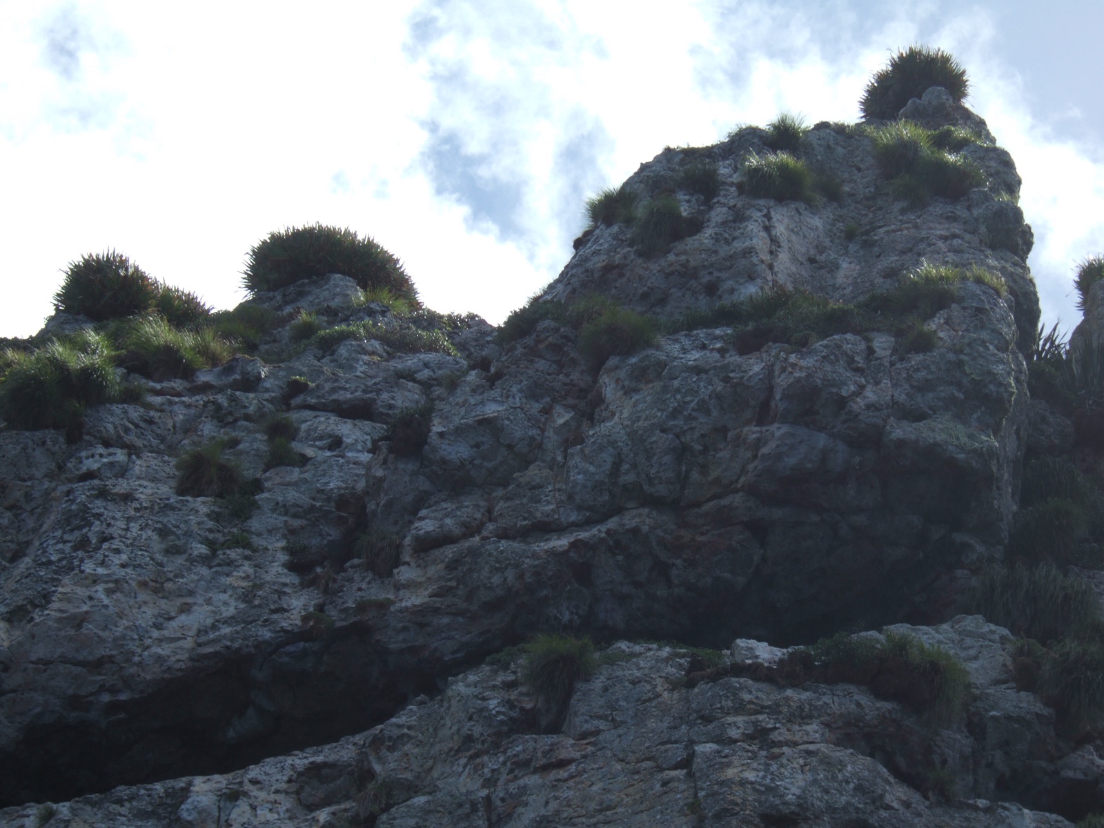
The Poor Knights are the eroded remains of an ancient volcano 23 kilometers off New Zealand's Tutukaka coast, a no-take marine reserve since 1981 whose arches, tunnels, and sea caves swarm with fish. A warm current delivers subtropical visitors to a temperate reef, and the mix is unlike anywhere else in the country. Jacques Cousteau's often-quoted praise put the islands on the world dive map decades ago.
Por qué bucear aquí
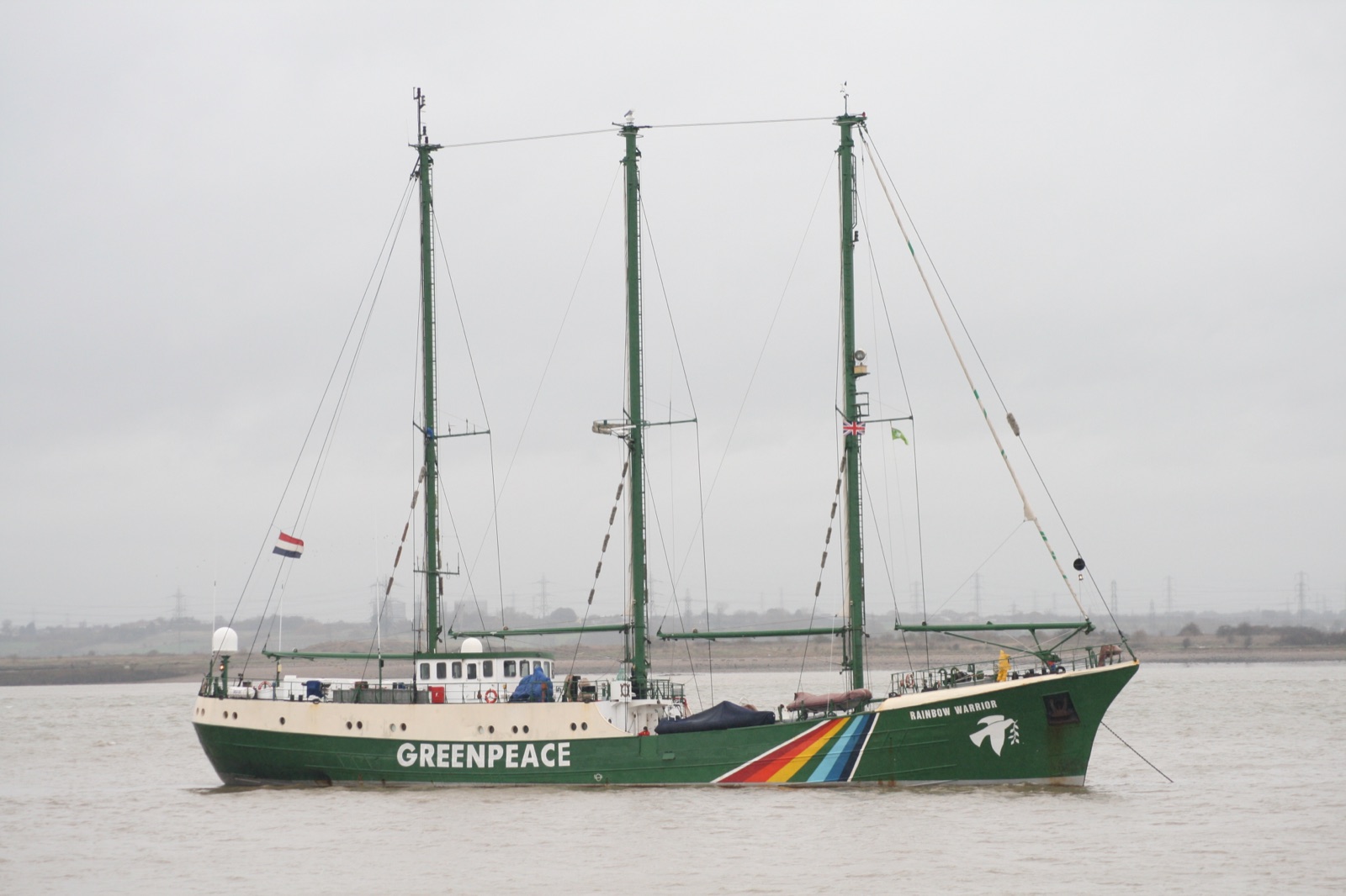
Volcanic rock erodes into theater, and the Poor Knights are full of it: archways big enough to fly a group through, walls that drop into kelp shadow, and Rikoriko, a sea cave vast enough that dive boats motor inside. The East Auckland Current bathes the islands in warmer water than the nearby coast, so subtropical wanderers mix with temperate residents; nudibranch diversity is a point of local pride, and in late summer short-tail stingrays gather in the arches, sometimes stacked in loose squadrons at Northern Arch. Blue maomao school so thickly in their namesake archway that the water turns blue-silver. Decades of full protection mean snapper, kingfish, and grouper behave like landlords rather than fugitives. Autumn, roughly February to June, brings the warmest, clearest water. An hour north, the Greenpeace ship Rainbow Warrior rests off the Cavalli Islands as a memorial and dive site, and many divers pair it with a Knights trip.
Mes a mes
Late summer and autumn, February through June, offer the warmest water and the year's best visibility. Spring plankton blooms from roughly September to November feed the ecosystem but haze the water. Winter diving is quiet and can be excellent between fronts.
| Mes | Agua | Visibilidad | Cómo es |
|---|---|---|---|
| January●●●●○ | 19–22 °C / 66–72 °F | 10–20 m | Stingrays gather in the arches |
| February●●●●● | 20–23 °C / 68–73 °F | 12–25 m | Warmest water of the year |
| March●●●●● | 20–23 °C / 68–73 °F | 15–30 m | Autumn clarity begins |
| April●●●●● | 19–22 °C / 66–72 °F | 15–30 m | Often the best all-round month |
| May●●●●○ | 17–20 °C / 63–68 °F | 15–30 m | Cooling but clean |
| June●●●●○ | 16–18 °C / 61–64 °F | 12–25 m | Quiet boats and good visibility |
| July●●●○○ | 15–17 °C / 59–63 °F | 10–25 m | Winter; pick weather windows |
| August●●●○○ | 14–16 °C / 57–61 °F | 10–25 m | Coldest water |
| September●●●○○ | 14–16 °C / 57–61 °F | 8–20 m | Spring bloom starts to haze the water |
| October●●●○○ | 15–17 °C / 59–63 °F | 8–18 m | Plankton feeds the reserve at a cost to visibility |
| November●●●○○ | 16–18 °C / 61–64 °F | 8–18 m | Bloom lingers; fish life everywhere |
| December●●●●○ | 17–20 °C / 63–68 °F | 10–20 m | Early summer; rays begin to return |
Confianza en los datos mensuales: Documented. Los meses sin fila no tienen datos verificados. Preferimos mostrar una laguna antes que inventarla.
Los puntos de buceo (5)
| Sitio | Tipo | Profundidad | Nivel | Acceso | |
|---|---|---|---|---|---|
| Blue Maomao Arch Wall-to-wall blue maomao, cathedral light through the arch, easy depth | Reef | 3–15 m | Beginner | Boat | |
| Middle Arch Broad easy archway, crayfish and morays in the cracks, prime nudibranch… | Reef | 5–24 m | Beginner | Boat | |
| Northern Arch Stingray squadrons in summer, sheer walls through the headland, occasional… | Wall | 8–40 m | Advanced | Boat | |
| Rainbow Warrior Jewel-anemone-covered hull, a pivotal moment of protest history, memorial… | Wreck | 14–28 m | Intermediate | Boat | |
| Rikoriko Cave Diving inside one of the world's great sea caves, deep-water species in the… | Cave | 5–22 m | Intermediate | Boat |
Vida marina con la que puedes planificar

Blue maomao and demoiselle schools, snapper and kingfish grown bold under protection, short-tail stingrays massing in the arches in summer, moray eels in the crevices, a celebrated variety of nudibranchs, and occasional visits from bottlenose dolphins and orca hunting rays.
Pecios aquí
Rainbow Warrior
Cómo llegar y dónde alojarse
Cómo llegar: Fly into Auckland and drive north via Whangarei to the Tutukaka marina, where charters make the 30-to-45-minute crossing most mornings in season. Day trips are the norm; there is no landing on the islands themselves.
Dónde alojarse: Tutukaka has marina-side lodges and rentals; Whangarei, 30 minutes inland, adds budget options. Matauri Bay and the Bay of Islands work as a base for the Rainbow Warrior.
Costes: Approximate conversion from New Zealand dollars for a two-dive charter from Tutukaka with tanks and weights; full gear rental adds more.
Entre inmersiones: The Tutukaka coast's beaches and headland walks, Whangarei Falls, game fishing, and the wider Bay of Islands to the north.
Esnórquel: Sheltered bays and the shallower arches snorkel superbly on calm days, with blue maomao often within a few meters of the surface.
Seguridad y aspectos prácticos
Riesgos: Surge in the arches and caves, depth at sites like Northern Arch, boat traffic at busy moorings, and cool water that shortens comfortable bottom time in a thin suit.
Watch depth in the arches: clear water makes 40 meters look like 15. Keep an exit in sight inside caverns and save Rikoriko's dark corners for good torches and calm days.
Cámara de recompresión más cercana: New Zealand's main hyperbaric facility is in Auckland. Emergencies go through 111 and DAN; availability changes, so call emergency services first.