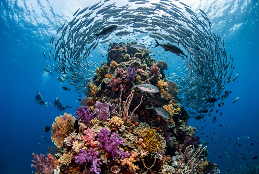
Formigas Islets & Dollabarat Reef
La profondità indica l'intervallo dalla sommità del sito al suo massimo abituale; il "brevetto consigliato" è il livello richiesto dalla maggior parte degli operatori delle principali agenzie, non una norma di legge. Correnti e visibilità cambiano ogni giorno, quindi considera tutto come intervalli di pianificazione.
The Formigas ('the ants') are a scatter of low rocks in open ocean, protected as a nature reserve and rarely dived because getting there takes commitment. Underwater the reward is some of the clearest water in the Azores over pinnacles patrolled by dusky groupers, amberjacks and barracuda walls, with devil rays and other pelagics appearing out of the blue at Dollabarat. The absence of regular boat traffic gives the fish life an unbothered, old-Atlantic character few European sites retain.
Il momento che aspettavi: Exceptional visibility, big groupers, pelagic surprises at a rarely visited reserve
Topografia: Volcanic pinnacles and boulder slopes dropping into deep water; the Dollabarat shoal lies a few kilometers from the islets
Corrente: Exposed to whatever the open Atlantic is doing; slack conditions are chosen carefully.
Entrata: A remote nature reserve between Sao Miguel and Santa Maria, reached on long day trips or small expeditions in stable weather only.
Sapere prima di tuffarsi
Pericoli: Remoteness is the main risk: open-sea crossings, current, and no nearby support if conditions turn.
Permessi & regole: Access is regulated as part of the reserve: trips run through licensed operators.
Conservazione: Formigas and Dollabarat sit inside a marine reserve; fishing is restricted and visits are weather- and permission-dependent.
Nitrox: Vale la pena qui: i profili rientrano nell'intervallo in cui l'aria arricchita (nitrox) prolunga in modo significativo il tempo di non-decompressione (con la formazione necessaria per utilizzarla).
Chi incontrerai
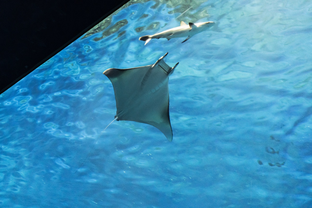
Mobula (Devil) Ray
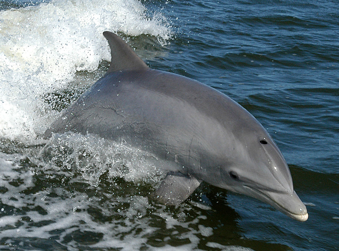
Bottlenose Dolphin
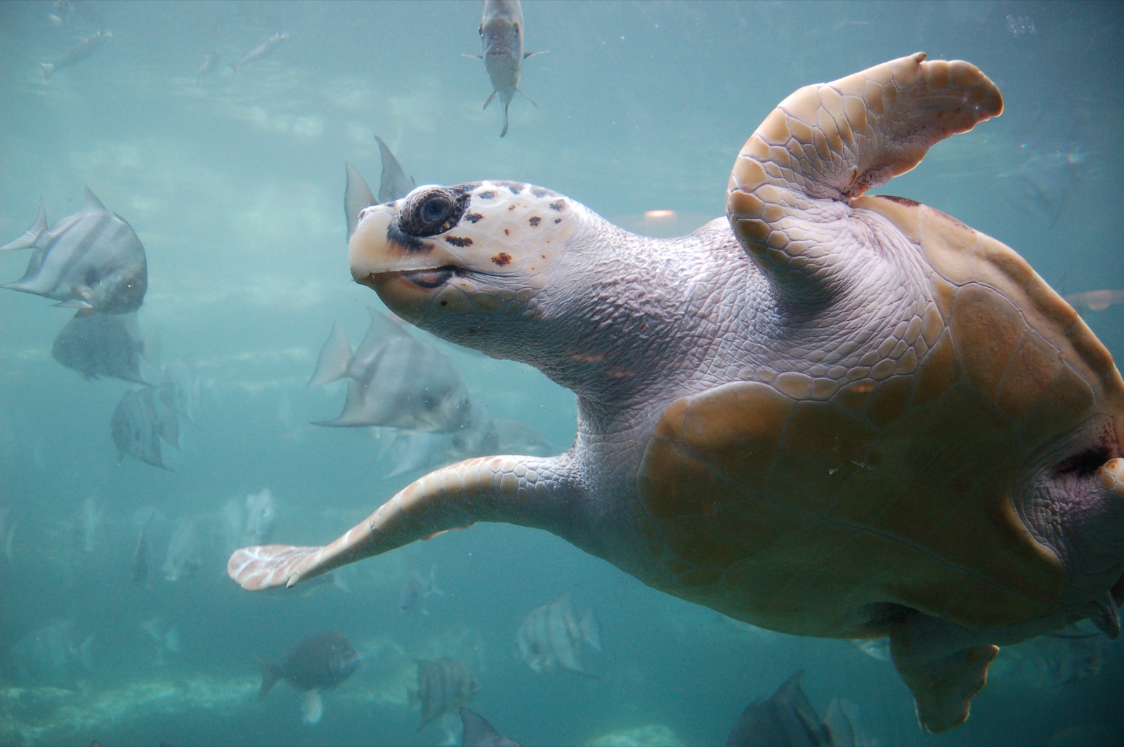
Loggerhead Turtle
Le specie "schedate qui" sono state inserite dai nostri redattori a partire dalle fonti indicate in questa pagina. I conteggi sono record di occorrenza GBIF: osservazioni registrate entro circa 5 km dalla posizione indicata in carta a partire dal 1990, confrontate esclusivamente con le specie presenti nel nostro catalogo. Mostrano ciò che è stato avvistato in quel luogo, non una garanzia di ciò che vedrete.
Per i fotografi
Grandangolo: ★★★★★ · Macro: ★★☆☆☆ (valutazione da 1 a 5 dei redattori su ciò che questo sito offre per ogni stile di ripresa)