The Pit
Die Tiefe gibt den Bereich von der Oberkante des Tauchplatzes bis zur üblichen Maximaltiefe an; „empfohlene Zertifizierung" ist das von Anbietern üblicherweise geforderte Mainstream-Agenturniveau – keine gesetzliche Vorschrift. Strömungen und Sichtweite ändern sich täglich – behandle alle Angaben hier als Planungsbereiche.
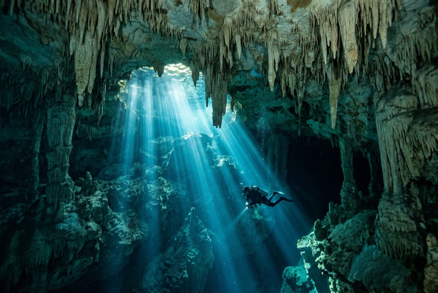
The Pit is the cenote as cathedral. You drop down a flooded shaft wide enough to swallow a building, and on late mornings a column of sunlight follows you down, fanning into blue haze. Around 30 m a layer of hydrogen sulfide drapes the debris mound like ground fog, and divers hang above it watching teammates dissolve into silhouette. Tree branches reach out of the mist; the shaft itself continues far past recreational depth for the exploration community. It is a simple dive in structure (down, marvel, up), but depth, darkness below, and awe demand real discipline.
Der Moment, für den du kommst: Light beams down a huge shaft, the sulfide cloud at 30 m, silhouettes over the mist, cave-system scale.
Topografie: A vast vertical shaft in the Sac Actun system; a debris mound rises from far below, wrapped at about 30 m in a hydrogen-sulfide haze.
Einstieg: Jungle track from the Dos Ojos park, then a stepped descent to a small deep pool.
Was du wissen solltest, bevor du ins Wasser gehst
Gefahren: Depth is the hazard: the visibility erases all sense of it. Fix a hard floor, watch gas, and ascend on plan.
Genehmigungen & Regeln: Entrance fee via the Dos Ojos park; guided diving only.
Naturschutz: Part of the Sac Actun system; stay off the mound and leave the haze layer undisturbed for the groups behind you.
Nitrox: Hier lohnt es sich – die Profile liegen in einem Bereich, in dem Nitrox die Nullzeiten spürbar verlängert (mit der entsprechenden Ausbildung).
Wen du triffst
Great Barracuda
Bottlenose Dolphin
Green Sea Turtle
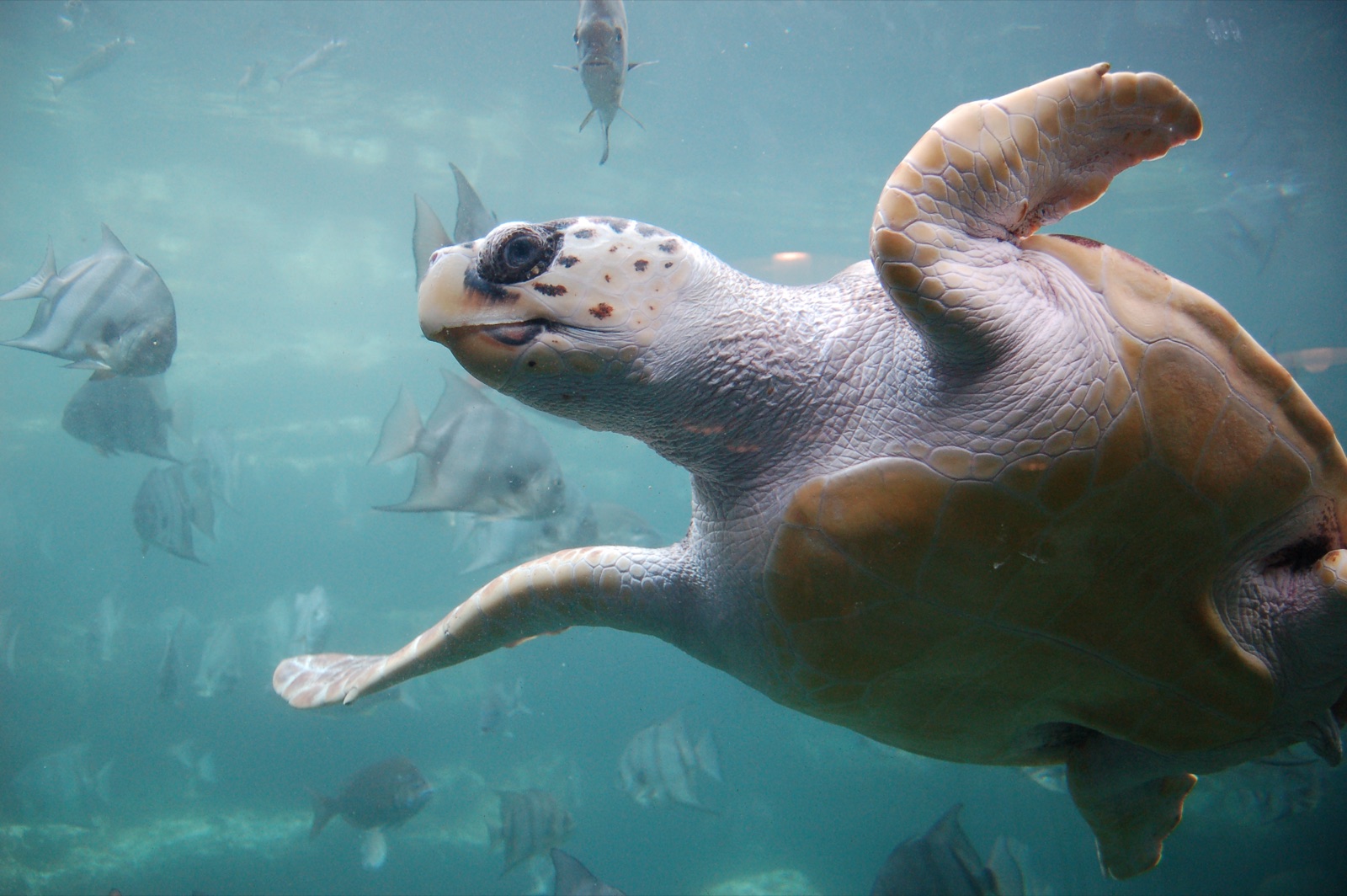
Loggerhead Turtle
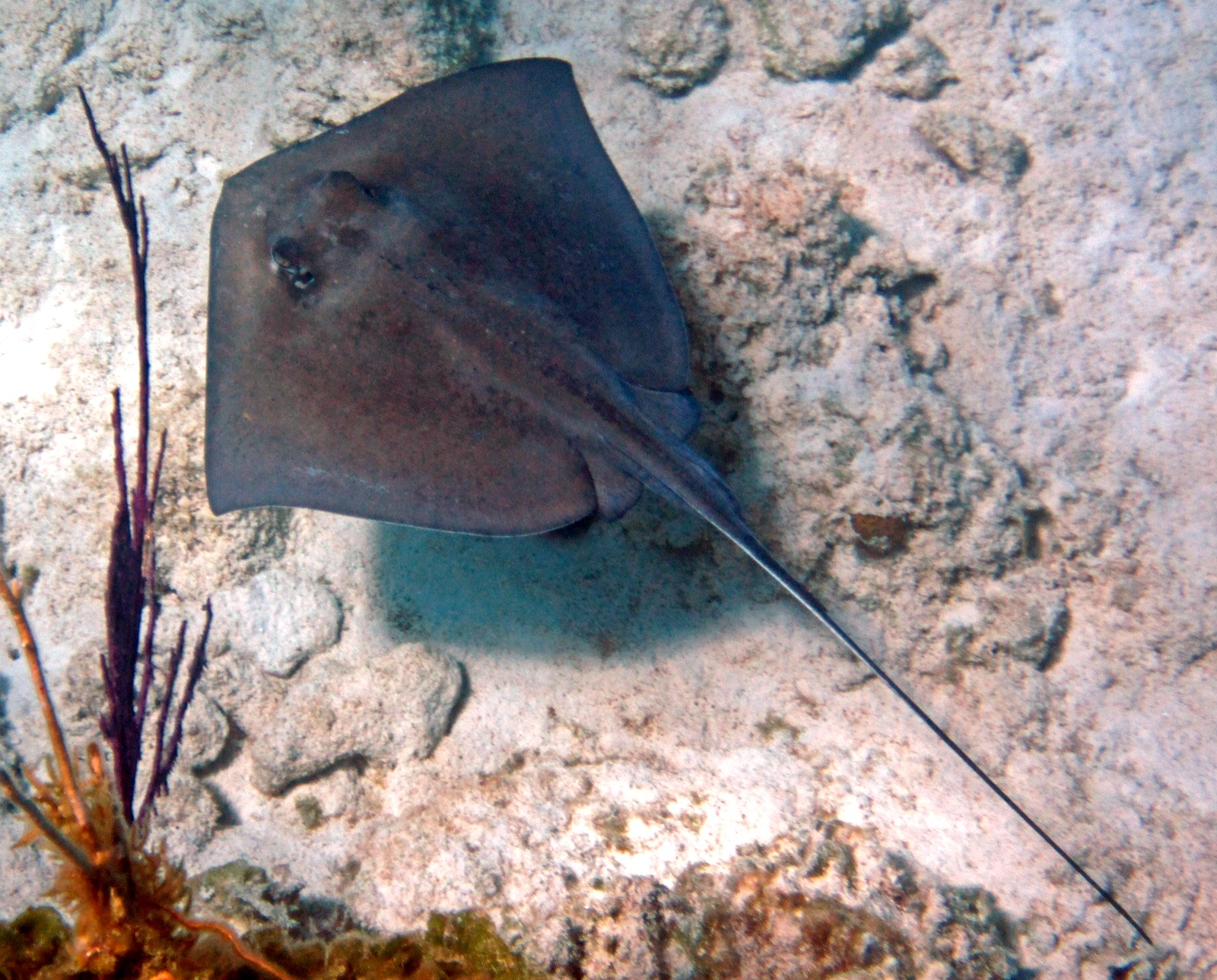
Southern Stingray
„Hier kartiert" – Arten wurden von unseren Redakteuren anhand der Quellen auf dieser Seite erfasst. Die Zahlen sind GBIF-Vorkommensdatensätze: Beobachtungen, die seit 1990 im Umkreis von etwa 5 km um die kartierte Position protokolliert wurden, ausschließlich abgeglichen mit den Arten in unserem Katalog. Sie zeigen, was dort gesichtet wurde – keine Garantie, was du sehen wirst.
Für Fotografen
Weitwinkel: ★★★★★ · Makro: ★☆☆☆☆ (Redaktionelle 1–5-Bewertung, was dieser Platz für jeden Fotografie-Stil bietet)