The Pit
La profondeur correspond à la plage allant du sommet du site jusqu'à son maximum habituel ; le « niveau recommandé » est le niveau demandé en général par les opérateurs auprès des grandes agences, pas une règle légale. Les courants et la visibilité varient chaque jour, traitez donc tout cela comme des plages indicatives de planification.
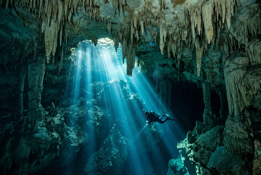
The Pit is the cenote as cathedral. You drop down a flooded shaft wide enough to swallow a building, and on late mornings a column of sunlight follows you down, fanning into blue haze. Around 30 m a layer of hydrogen sulfide drapes the debris mound like ground fog, and divers hang above it watching teammates dissolve into silhouette. Tree branches reach out of the mist; the shaft itself continues far past recreational depth for the exploration community. It is a simple dive in structure (down, marvel, up), but depth, darkness below, and awe demand real discipline.
Le moment pour lequel vous venez: Light beams down a huge shaft, the sulfide cloud at 30 m, silhouettes over the mist, cave-system scale.
Topographie: A vast vertical shaft in the Sac Actun system; a debris mound rises from far below, wrapped at about 30 m in a hydrogen-sulfide haze.
Entrée: Jungle track from the Dos Ojos park, then a stepped descent to a small deep pool.
À savoir avant de plonger
Dangers: Depth is the hazard: the visibility erases all sense of it. Fix a hard floor, watch gas, and ascend on plan.
Permis & règlements: Entrance fee via the Dos Ojos park; guided diving only.
Conservation: Part of the Sac Actun system; stay off the mound and leave the haze layer undisturbed for the groups behind you.
Nitrox: Pertinent ici : les profils se situent dans la plage où le nitrox prolonge significativement le temps sans palier (avec la formation pour l'utiliser).
Qui vous croiserez
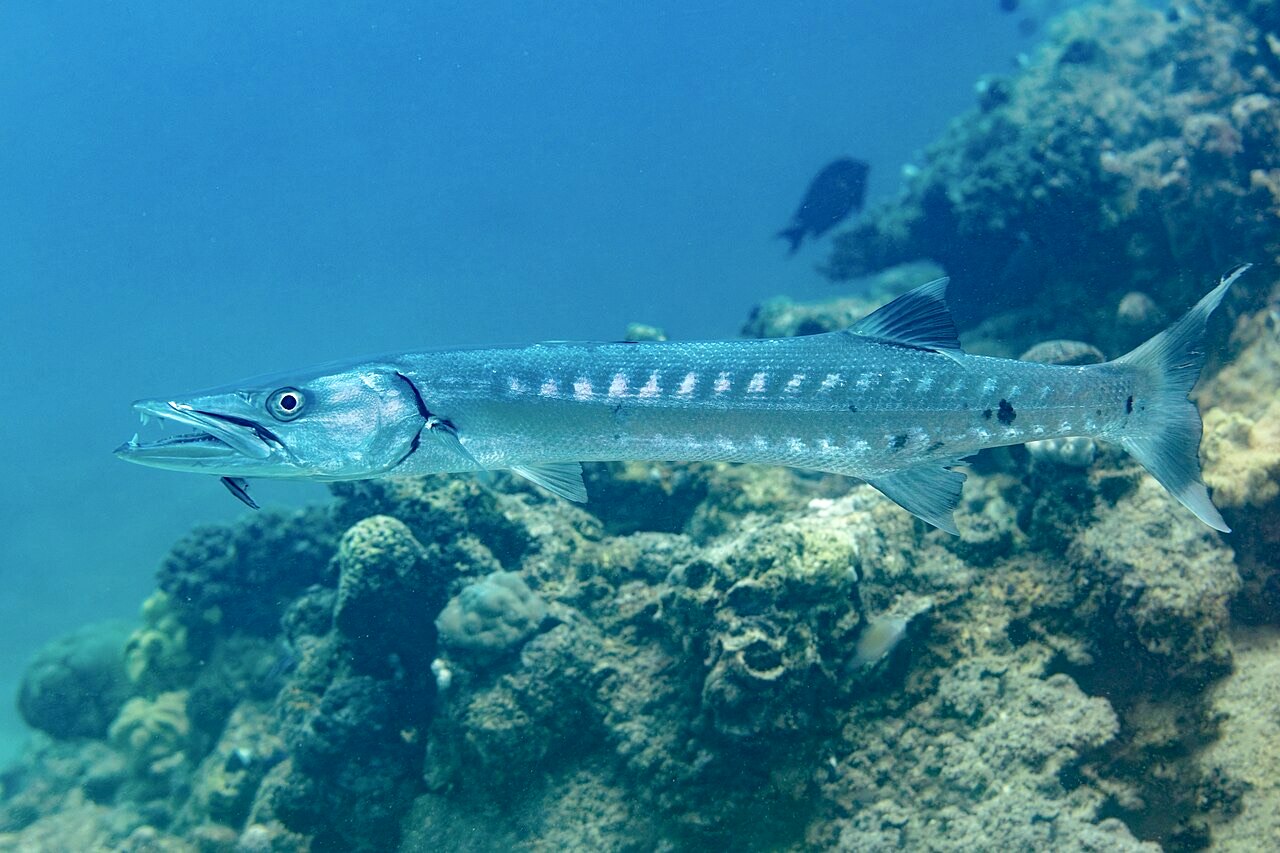
Great Barracuda
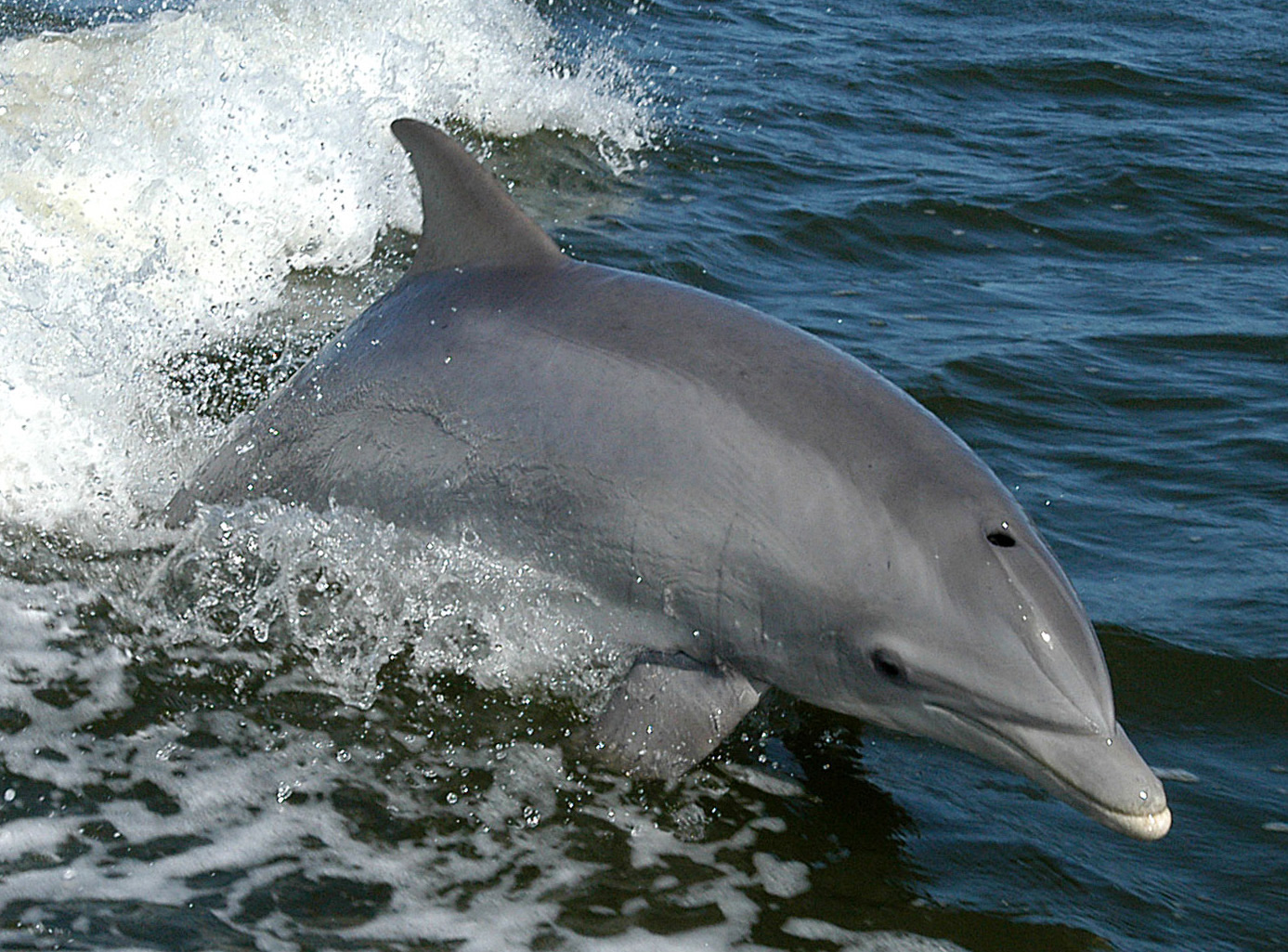
Bottlenose Dolphin
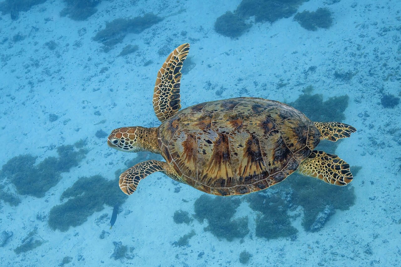
Green Sea Turtle
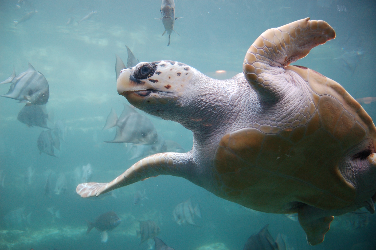
Loggerhead Turtle
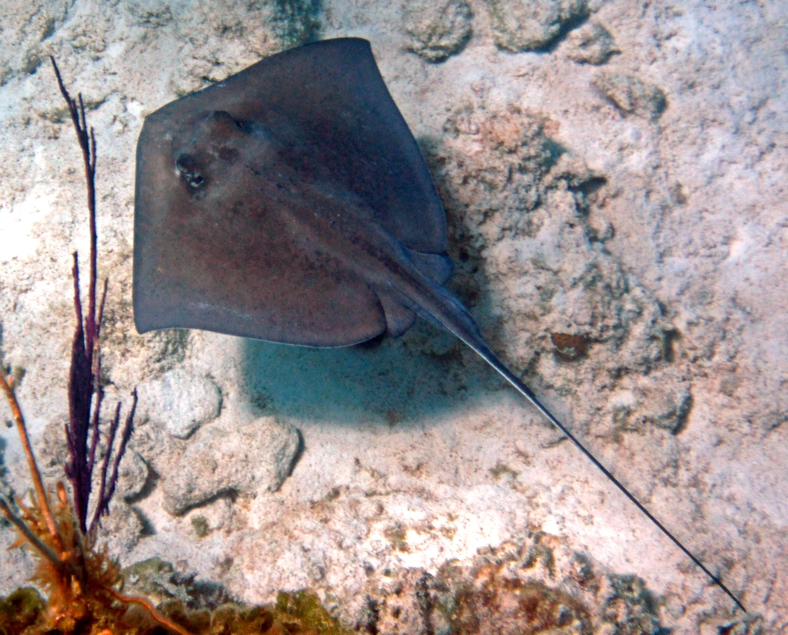
Southern Stingray
Les espèces « cartographiées ici » ont été répertoriées par nos éditeurs à partir des sources indiquées sur cette page. Les comptages correspondent aux occurrences GBIF : observations enregistrées dans un rayon d'environ 5 km autour de la position cartographiée depuis 1990, comparées uniquement aux espèces de notre catalogue. Ils indiquent ce qui a été observé à cet endroit, sans garantir ce que vous y verrez.
Pour les photographes
Grand angle: ★★★★★ · Macro: ★☆☆☆☆ (note 1–5 des éditeurs sur ce que ce site offre à chaque style de prise de vue)