The Pit
La profondità indica l'intervallo dalla sommità del sito al suo massimo abituale; il "brevetto consigliato" è il livello richiesto dalla maggior parte degli operatori delle principali agenzie, non una norma di legge. Correnti e visibilità cambiano ogni giorno, quindi considera tutto come intervalli di pianificazione.
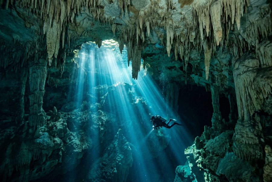
The Pit is the cenote as cathedral. You drop down a flooded shaft wide enough to swallow a building, and on late mornings a column of sunlight follows you down, fanning into blue haze. Around 30 m a layer of hydrogen sulfide drapes the debris mound like ground fog, and divers hang above it watching teammates dissolve into silhouette. Tree branches reach out of the mist; the shaft itself continues far past recreational depth for the exploration community. It is a simple dive in structure (down, marvel, up), but depth, darkness below, and awe demand real discipline.
Il momento che aspettavi: Light beams down a huge shaft, the sulfide cloud at 30 m, silhouettes over the mist, cave-system scale.
Topografia: A vast vertical shaft in the Sac Actun system; a debris mound rises from far below, wrapped at about 30 m in a hydrogen-sulfide haze.
Entrata: Jungle track from the Dos Ojos park, then a stepped descent to a small deep pool.
Sapere prima di tuffarsi
Pericoli: Depth is the hazard: the visibility erases all sense of it. Fix a hard floor, watch gas, and ascend on plan.
Permessi & regole: Entrance fee via the Dos Ojos park; guided diving only.
Conservazione: Part of the Sac Actun system; stay off the mound and leave the haze layer undisturbed for the groups behind you.
Nitrox: Vale la pena qui: i profili rientrano nell'intervallo in cui l'aria arricchita (nitrox) prolunga in modo significativo il tempo di non-decompressione (con la formazione necessaria per utilizzarla).
Chi incontrerai

Great Barracuda
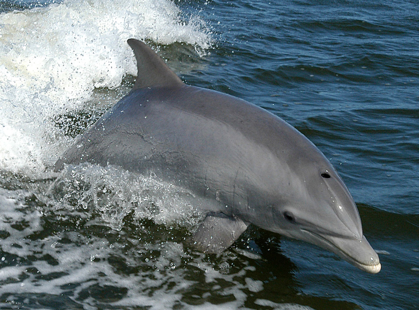
Bottlenose Dolphin
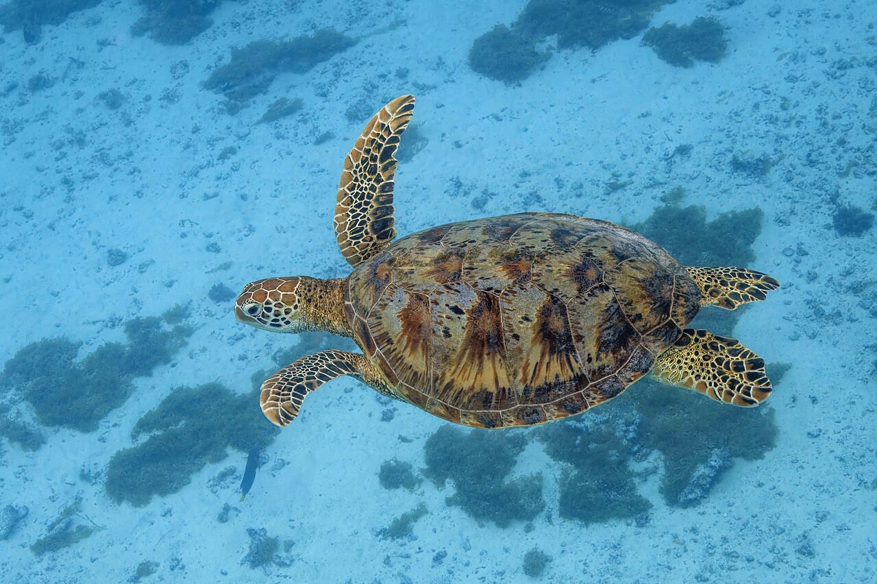
Green Sea Turtle
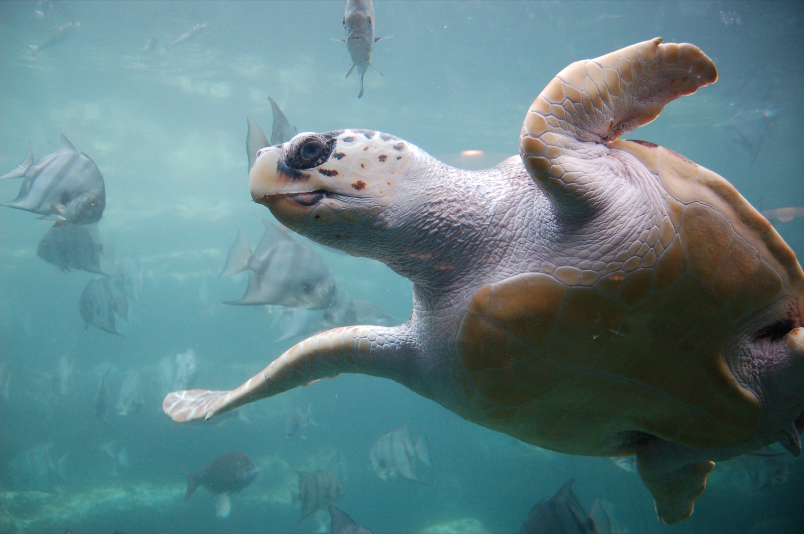
Loggerhead Turtle
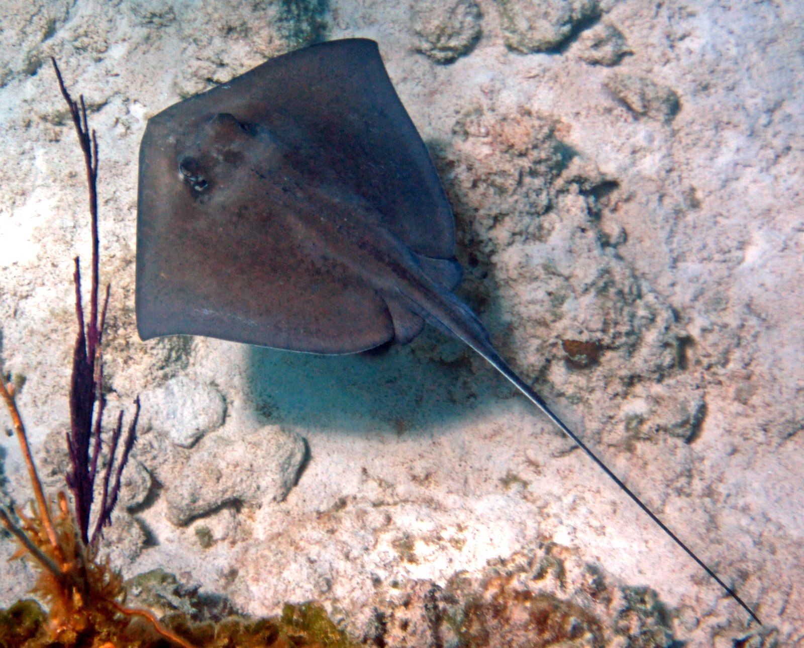
Southern Stingray
Le specie "schedate qui" sono state inserite dai nostri redattori a partire dalle fonti indicate in questa pagina. I conteggi sono record di occorrenza GBIF: osservazioni registrate entro circa 5 km dalla posizione indicata in carta a partire dal 1990, confrontate esclusivamente con le specie presenti nel nostro catalogo. Mostrano ciò che è stato avvistato in quel luogo, non una garanzia di ciò che vedrete.
Per i fotografi
Grandangolo: ★★★★★ · Macro: ★☆☆☆☆ (valutazione da 1 a 5 dei redattori su ciò che questo sito offre per ogni stile di ripresa)