
Mikomoto Island
العمق هو المدى من أعلى الموقع إلى الحد الأقصى المعتاد، و"الشهادة الموصى بها" هي المستوى الذي تطلبه الوكالات الكبرى في الغالب، لا قاعدة قانونية. التيارات والرؤية تتغير يومياً، فاعتبر كل ما هنا مدى تخطيطياً.
Mikomoto is a lighthouse rock nine kilometers off Shimoda where the Kuroshio delivers the goods: from early summer into autumn, scalloped hammerheads school in the flow, and the standard dive is a brisk drift along the ridges scanning up-current until the silhouettes assemble. Schools range from polite handfuls to processions that take minutes to pass. Amberjack and rays ride the same conveyor, and the rocks themselves wear a hardy crop of soft coral. This is Izu's serious dive, with real current, real blue-water discipline, and rewards sized to match; local shops vet experience levels for good reason.
اللحظة التي جئت من أجلها: Hammerhead schools within sight of Honshu, energetic Kuroshio drifts, big-fish traffic
التضاريس: Current-swept rock ridges and boulder slopes falling into blue water
التيار: The Kuroshio's edge washes the rocks; currents shift mid-dive and the guides read them constantly.
نقطة الدخول: Boats run from Shimoda to the lighthouse rocks offshore; negative entries and group drifts are standard, and marginal weather cancels quickly.
اعرف قبل أن تقفز في الماء
المخاطر: Strong shifting current, exposed offshore position, and depth creep while shadowing schools; surface markers required.
نيتروكس: يستحق الأمر هنا: الملفات الشخصية تقع في النطاق الذي يُمدّد فيه الهواء المدعّم (نيتروكس) وقت الغوص دون توقف تمديدًا ملموسًا، مع التدريب اللازم لاستخدامه.
من ستلتقي
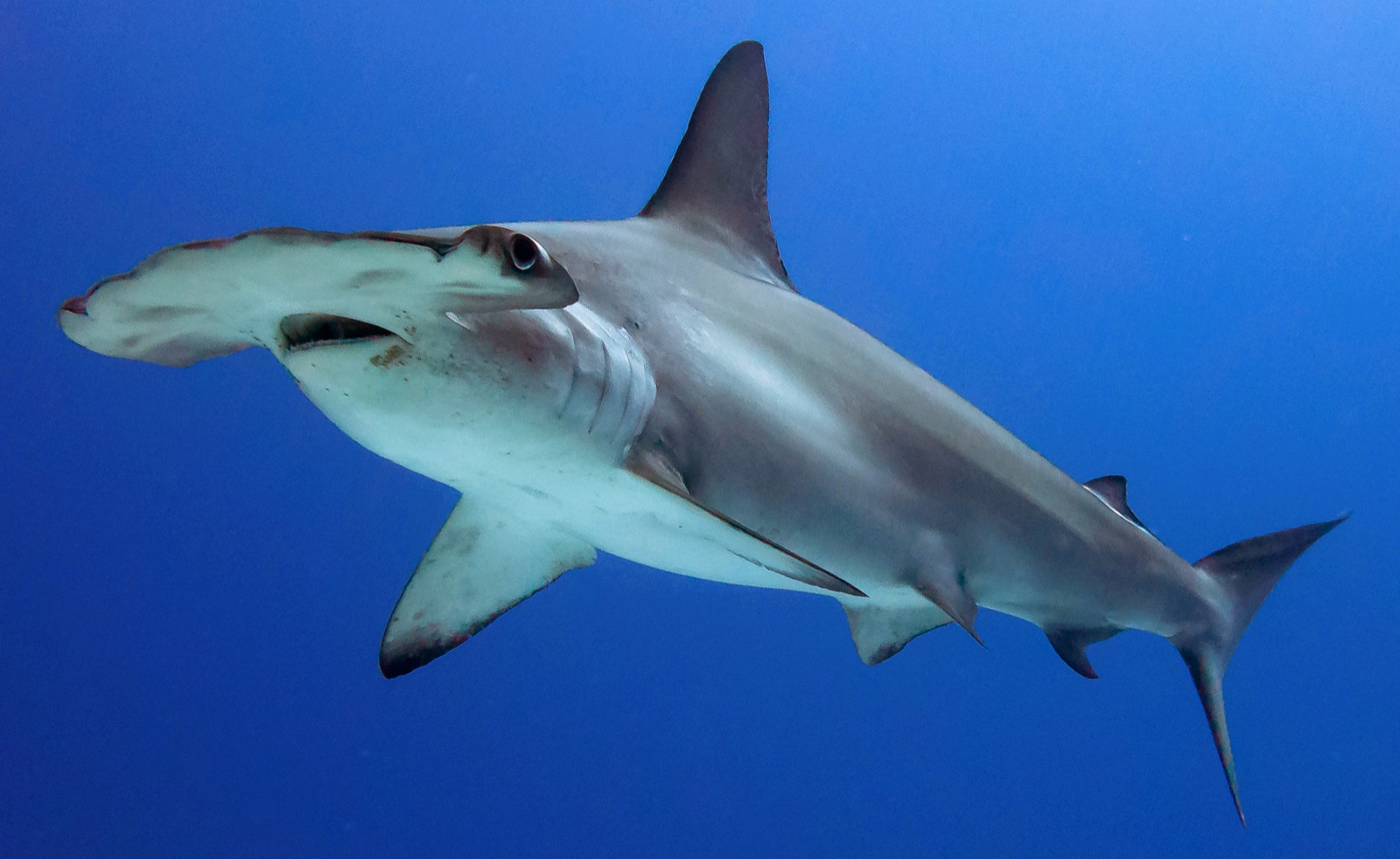
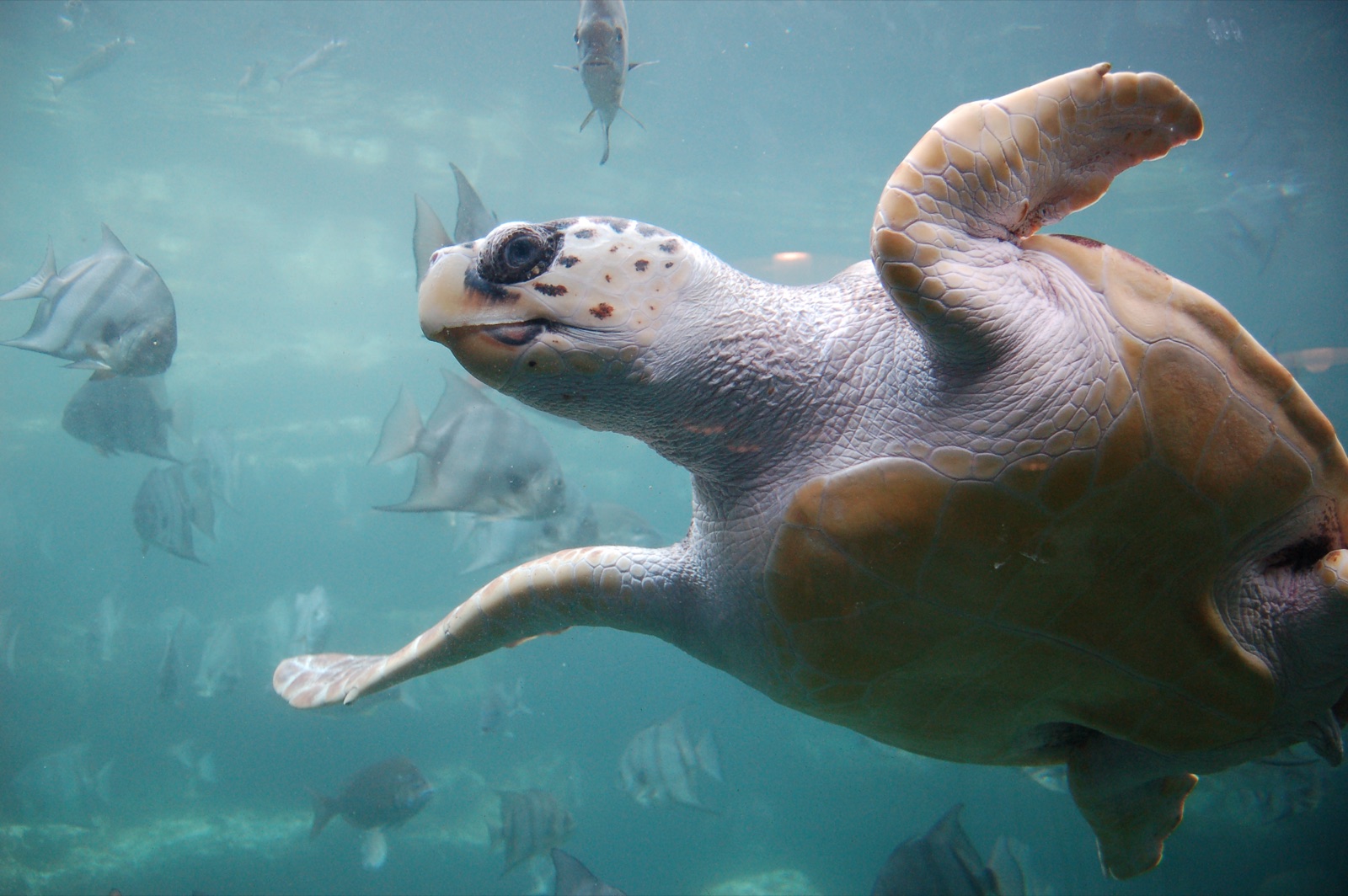
أنواع "مُرسَّمة هنا" أدرجها محرّرونا من المصادر الواردة في هذه الصفحة. الأعداد هي سجلات ظهور GBIF: مشاهدات مُسجَّلة في نطاق نحو 5 كم من الموضع المُرسَّم منذ عام 1990، ومُطابَقة فقط مع الأنواع الموجودة في فهرسنا. وهي تُظهر ما شوهد هناك، لا وعدًا بما ستراه.
للمصوّرين
زاوية واسعة: ★★★★☆ · الماكرو: ★☆☆☆☆ (تقييم المحرّرين من 1 إلى 5 لما يتيحه هذا الموقع لكل أسلوب تصوير)