
Mikomoto Island
La profondeur correspond à la plage allant du sommet du site jusqu'à son maximum habituel ; le « niveau recommandé » est le niveau demandé en général par les opérateurs auprès des grandes agences, pas une règle légale. Les courants et la visibilité varient chaque jour, traitez donc tout cela comme des plages indicatives de planification.
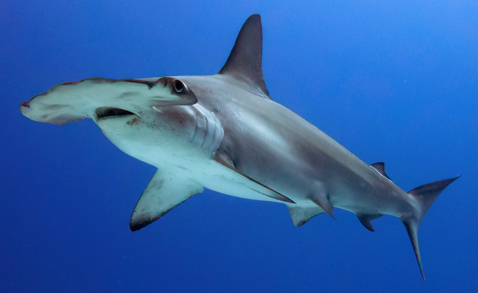
Mikomoto is a lighthouse rock nine kilometers off Shimoda where the Kuroshio delivers the goods: from early summer into autumn, scalloped hammerheads school in the flow, and the standard dive is a brisk drift along the ridges scanning up-current until the silhouettes assemble. Schools range from polite handfuls to processions that take minutes to pass. Amberjack and rays ride the same conveyor, and the rocks themselves wear a hardy crop of soft coral. This is Izu's serious dive, with real current, real blue-water discipline, and rewards sized to match; local shops vet experience levels for good reason.
Le moment pour lequel vous venez: Hammerhead schools within sight of Honshu, energetic Kuroshio drifts, big-fish traffic
Topographie: Current-swept rock ridges and boulder slopes falling into blue water
Courant: The Kuroshio's edge washes the rocks; currents shift mid-dive and the guides read them constantly.
Entrée: Boats run from Shimoda to the lighthouse rocks offshore; negative entries and group drifts are standard, and marginal weather cancels quickly.
À savoir avant de plonger
Dangers: Strong shifting current, exposed offshore position, and depth creep while shadowing schools; surface markers required.
Nitrox: Pertinent ici : les profils se situent dans la plage où le nitrox prolonge significativement le temps sans palier (avec la formation pour l'utiliser).
Qui vous croiserez
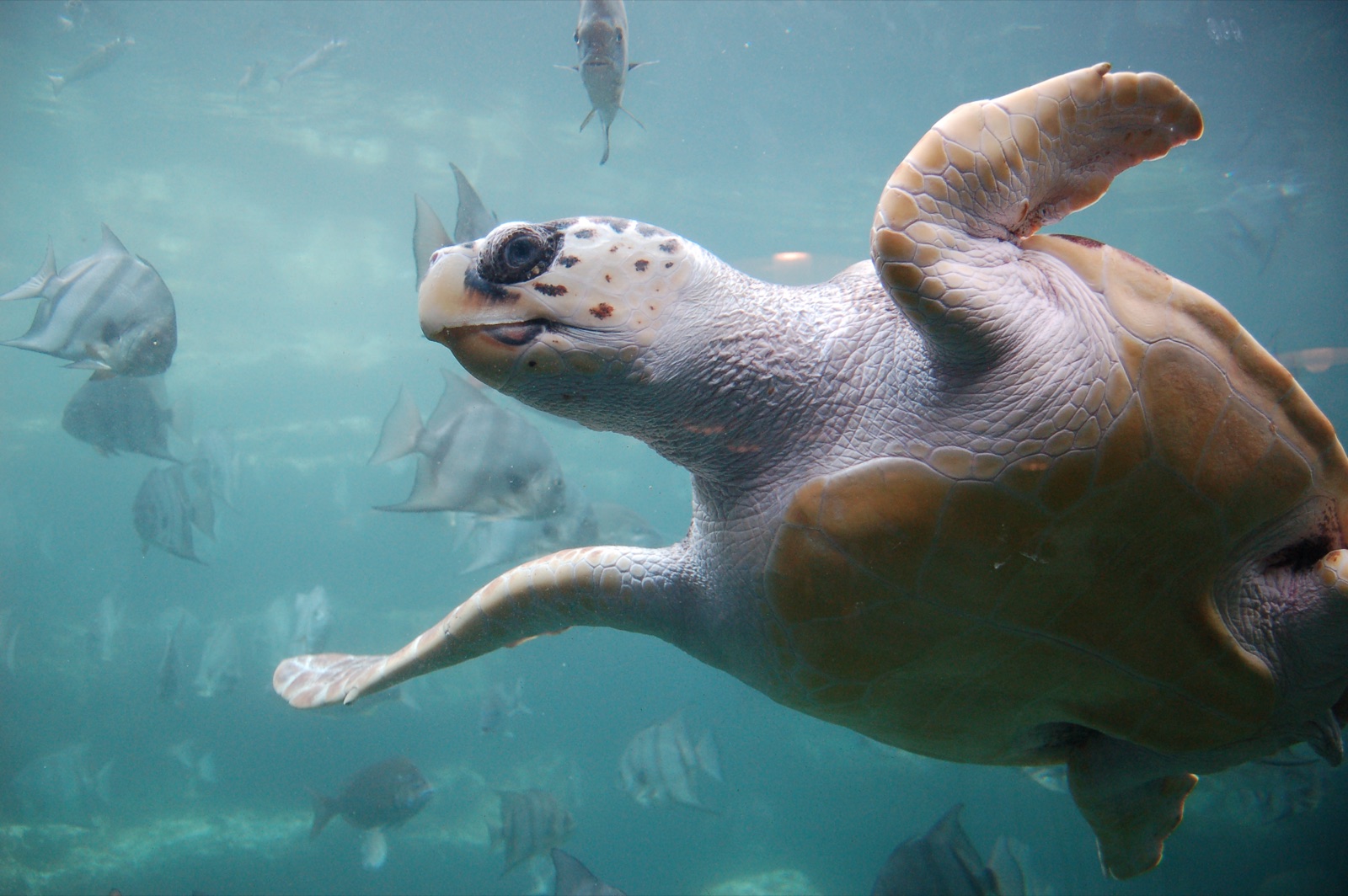
Les espèces « cartographiées ici » ont été répertoriées par nos éditeurs à partir des sources indiquées sur cette page. Les comptages correspondent aux occurrences GBIF : observations enregistrées dans un rayon d'environ 5 km autour de la position cartographiée depuis 1990, comparées uniquement aux espèces de notre catalogue. Ils indiquent ce qui a été observé à cet endroit, sans garantir ce que vous y verrez.
Pour les photographes
Grand angle: ★★★★☆ · Macro: ★☆☆☆☆ (note 1–5 des éditeurs sur ce que ce site offre à chaque style de prise de vue)