
Mikomoto Island
A profundidade indica a faixa desde o topo do ponto até o seu máximo habitual; a "certificação recomendada" é o nível das agências convencionais que os operadores costumam exigir, não uma exigência legal. Correntes e visibilidade mudam diariamente — trate tudo aqui como referências de planejamento.
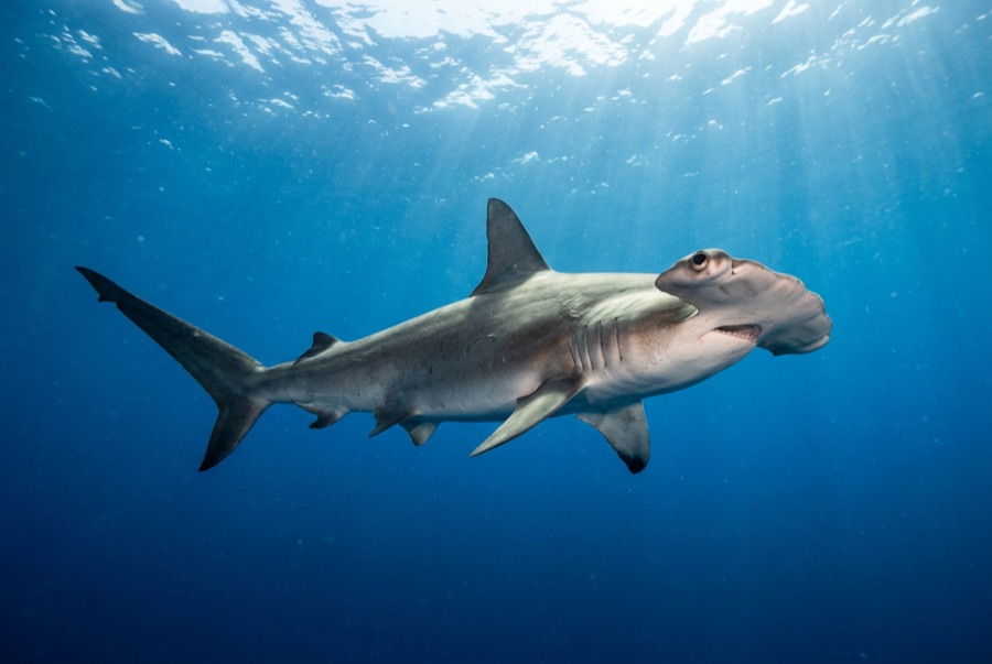
Mikomoto is a lighthouse rock nine kilometers off Shimoda where the Kuroshio delivers the goods: from early summer into autumn, scalloped hammerheads school in the flow, and the standard dive is a brisk drift along the ridges scanning up-current until the silhouettes assemble. Schools range from polite handfuls to processions that take minutes to pass. Amberjack and rays ride the same conveyor, and the rocks themselves wear a hardy crop of soft coral. This is Izu's serious dive, with real current, real blue-water discipline, and rewards sized to match; local shops vet experience levels for good reason.
O momento pelo qual você vem: Hammerhead schools within sight of Honshu, energetic Kuroshio drifts, big-fish traffic
Topografia: Current-swept rock ridges and boulder slopes falling into blue water
Corrente: The Kuroshio's edge washes the rocks; currents shift mid-dive and the guides read them constantly.
Entrada: Boats run from Shimoda to the lighthouse rocks offshore; negative entries and group drifts are standard, and marginal weather cancels quickly.
Sabe antes de entrar na água
Perigos: Strong shifting current, exposed offshore position, and depth creep while shadowing schools; surface markers required.
Nitrox: Vale a pena aqui — os perfis situam-se na faixa em que o nitrox prolonga significativamente o tempo sem paragem (com a formação adequada para o usar).
Quem vai encontrar
Para fotógrafos
Grande angular: ★★★★☆ · Macro: ★☆☆☆☆ — classificação de 1–5 dos editores sobre o que este sítio oferece a cada estilo de fotografia