Samarai Wharf
La profundidad indica el rango desde la parte superior del punto hasta su máximo habitual; la "certificación recomendada" es el nivel que los operadores suelen exigir según las principales agencias, no una norma legal. Las corrientes y la visibilidad cambian a diario — considera todo esto como rangos de planificación.
Samarai was once a thriving colonial port, and its long wharf has spent the decades since converting harbor junk into habitat. Pilings wear sponges and soft corals like upholstery; the rubble below hides mandarinfish that rise to court at dusk, frogfish wedged among bottles and cable, ribbon eels, and squadrons of striped catfish sweeping the silt. Batfish circle the structure in loose formation. The China Strait's tide keeps everything fed and demands the schedule be respected. It is a classic pier dive — history overhead, oddities below — and dusk here, waiting on the mandarinfish, is a Milne Bay ritual.
El momento por el que vienes: Mandarinfish courtship at dusk; piling growth and glassfish; a working museum of port-town debris turned reef.
Topografía: Wharf pilings, sunken debris, and silty rubble from a century of harbor life
Corriente: The China Strait funnels tide past the island; dives run at slack or on the gentle phase.
Entrada: Dived beside the old island wharf in the China Strait; timed around the strait's tides.
Lo que debes saber antes de tirarte al agua
Riesgos: Tidal current in the strait; sharp metal and glass in the rubble; low visibility on the wrong tide.
Conservación: The wharf is village front yard as much as dive site — courtesy ashore, no artifact collecting below.
A quién encontrarás
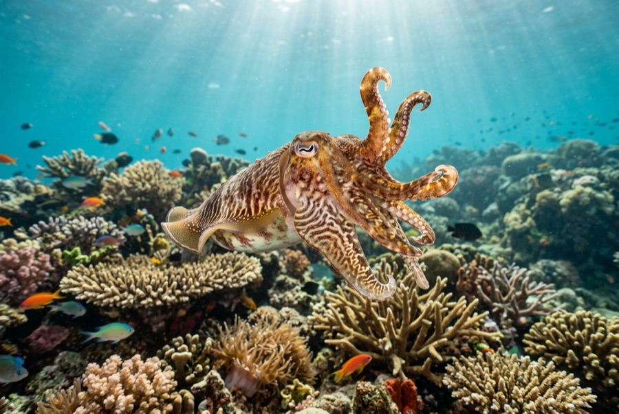
Broadclub Cuttlefish
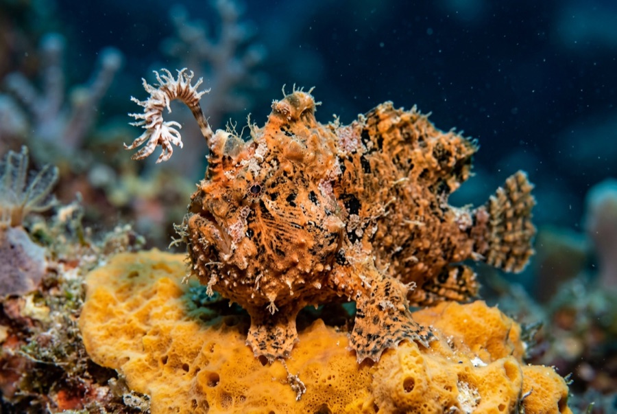
Frogfish
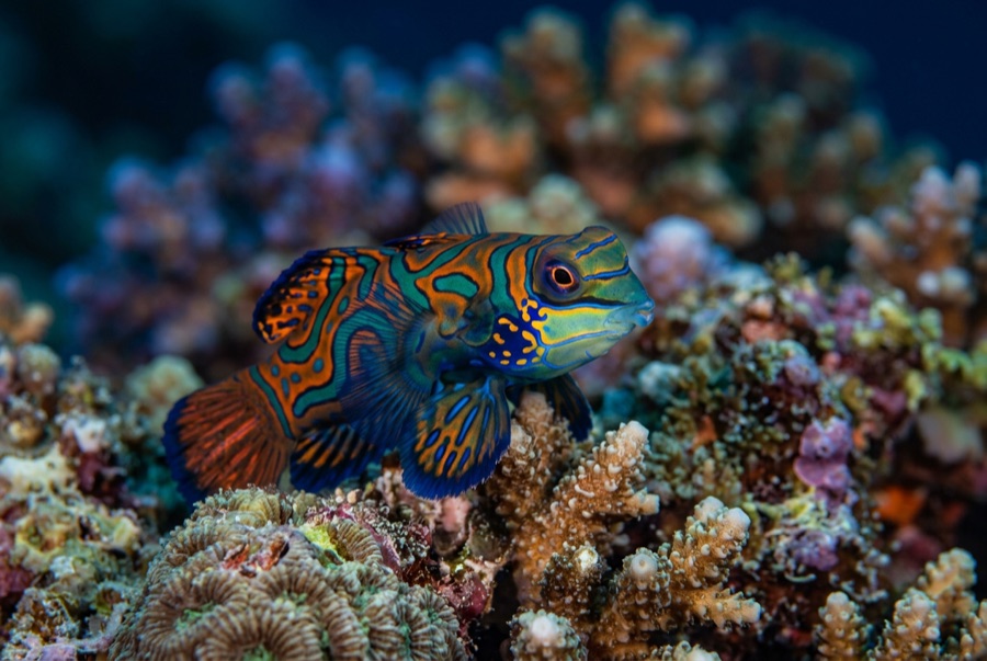
Mandarinfish

Nudibranchs
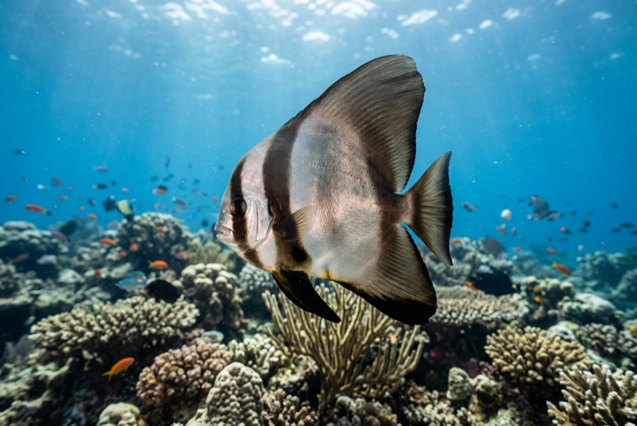
Pinnate Batfish
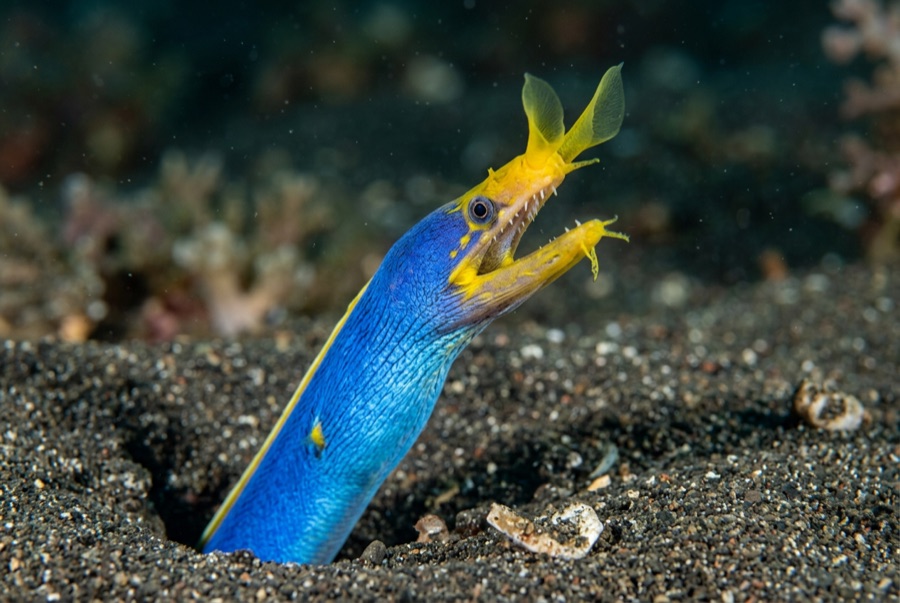
Ribbon Eel
Para fotógrafos
Gran angular: ★★★☆☆ · Macro: ★★★★★ — valoración de 1 a 5 de los editores sobre lo que ofrece este sitio para cada estilo de fotografía