Samarai Wharf
La profondeur indique la plage entre le sommet du site et son maximum habituel ; le « niveau de certification recommandé » correspond au niveau généralement demandé par les opérateurs selon les agences grand public, et non à une règle légale. Les courants et la visibilité varient chaque jour — considérez toutes ces informations comme des estimations de planification.
Samarai was once a thriving colonial port, and its long wharf has spent the decades since converting harbor junk into habitat. Pilings wear sponges and soft corals like upholstery; the rubble below hides mandarinfish that rise to court at dusk, frogfish wedged among bottles and cable, ribbon eels, and squadrons of striped catfish sweeping the silt. Batfish circle the structure in loose formation. The China Strait's tide keeps everything fed and demands the schedule be respected. It is a classic pier dive — history overhead, oddities below — and dusk here, waiting on the mandarinfish, is a Milne Bay ritual.
Le moment pour lequel vous venez: Mandarinfish courtship at dusk; piling growth and glassfish; a working museum of port-town debris turned reef.
Topographie: Wharf pilings, sunken debris, and silty rubble from a century of harbor life
Courant: The China Strait funnels tide past the island; dives run at slack or on the gentle phase.
Entrée: Dived beside the old island wharf in the China Strait; timed around the strait's tides.
À savoir avant de plonger
Dangers: Tidal current in the strait; sharp metal and glass in the rubble; low visibility on the wrong tide.
Conservation: The wharf is village front yard as much as dive site — courtesy ashore, no artifact collecting below.
Qui vous croiserez
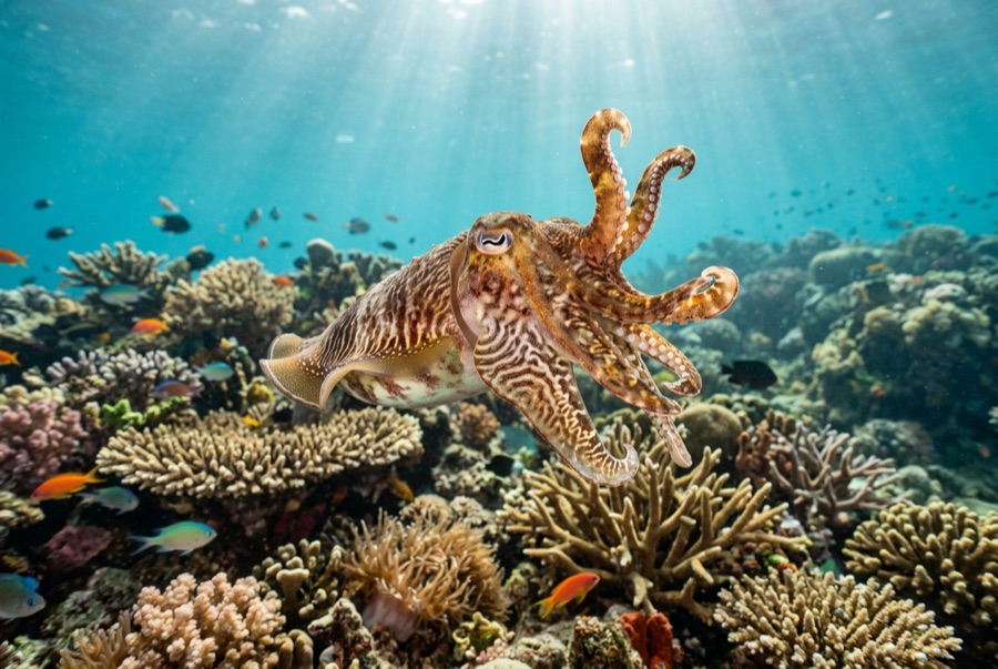
Broadclub Cuttlefish
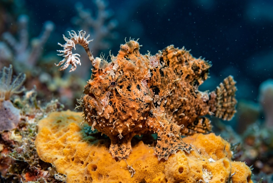
Frogfish
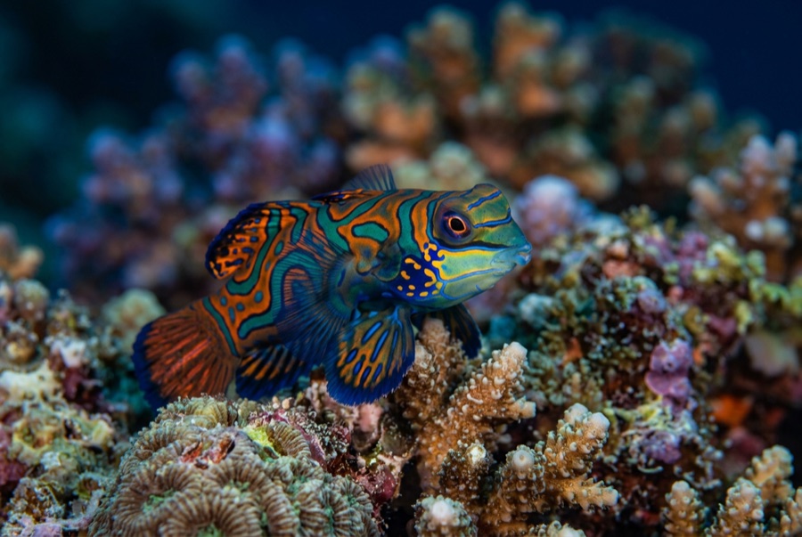
Mandarinfish

Nudibranchs
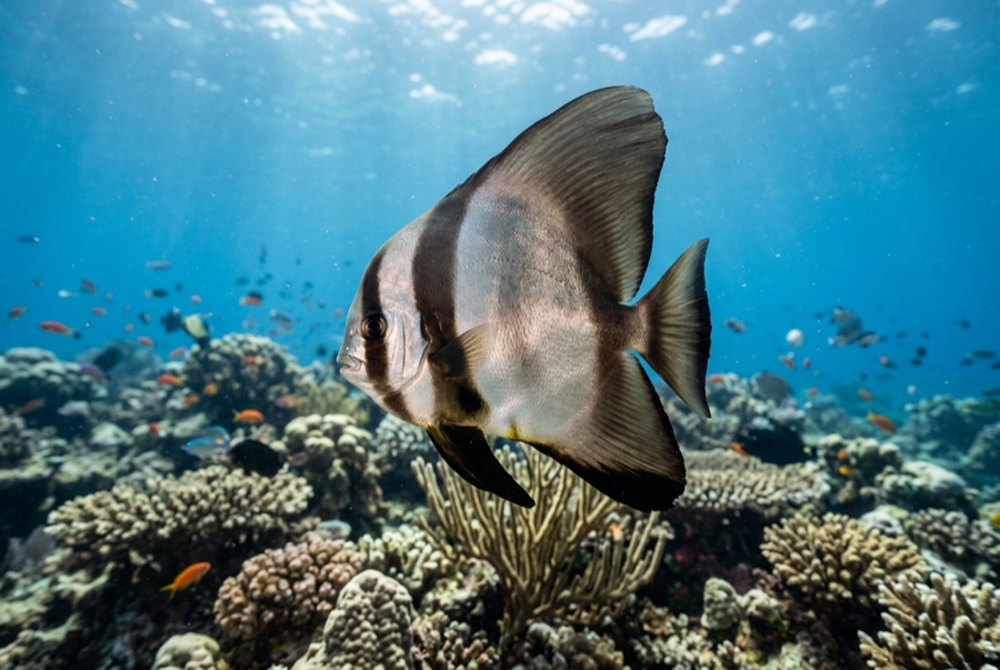
Pinnate Batfish
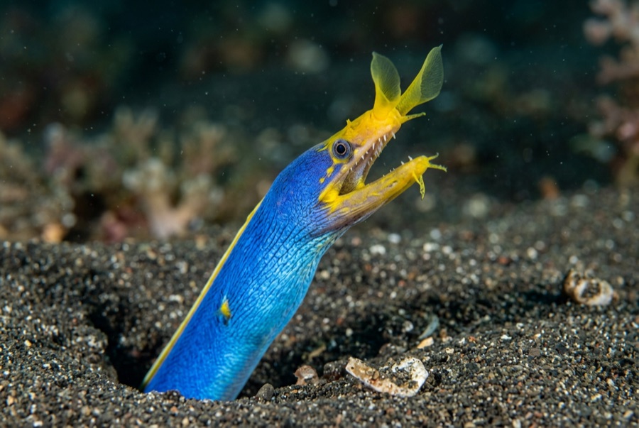
Ribbon Eel
Pour les photographes
Grand angle: ★★★☆☆ · Macro: ★★★★★ — note 1–5 des éditeurs sur ce que ce site offre à chaque style de prise de vue