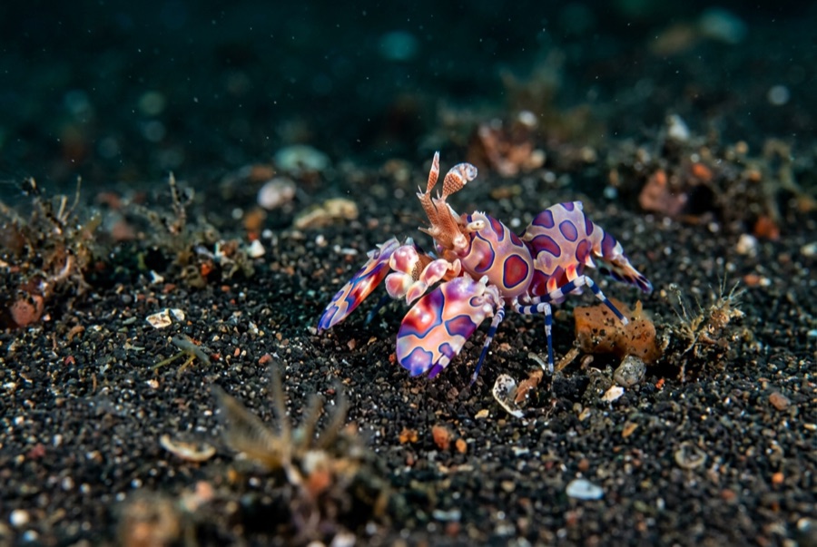
Samarai Wharf
水深はサイト上部から通常の最大深度までの範囲を示し、「推奨認定レベル」はオペレーターが一般的に求めるメインストリーム機関の資格レベルであり、法的な義務ではありません。流れと透明度は日々変化します——ここに掲載されている情報はすべて計画の目安としてご利用ください。
Samarai was once a thriving colonial port, and its long wharf has spent the decades since converting harbor junk into habitat. Pilings wear sponges and soft corals like upholstery; the rubble below hides mandarinfish that rise to court at dusk, frogfish wedged among bottles and cable, ribbon eels, and squadrons of striped catfish sweeping the silt. Batfish circle the structure in loose formation. The China Strait's tide keeps everything fed and demands the schedule be respected. It is a classic pier dive — history overhead, oddities below — and dusk here, waiting on the mandarinfish, is a Milne Bay ritual.
その瞬間のために: Mandarinfish courtship at dusk; piling growth and glassfish; a working museum of port-town debris turned reef.
地形: Wharf pilings, sunken debris, and silty rubble from a century of harbor life
流れ(カレント): The China Strait funnels tide past the island; dives run at slack or on the gentle phase.
エントリー: Dived beside the old island wharf in the China Strait; timed around the strait's tides.
エントリー前に知っておこう
危険生物・リスク: Tidal current in the strait; sharp metal and glass in the rubble; low visibility on the wrong tide.
保全: The wharf is village front yard as much as dive site — courtesy ashore, no artifact collecting below.
出会える生物
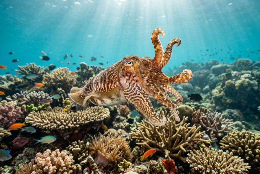
Broadclub Cuttlefish
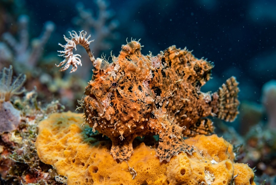
Frogfish
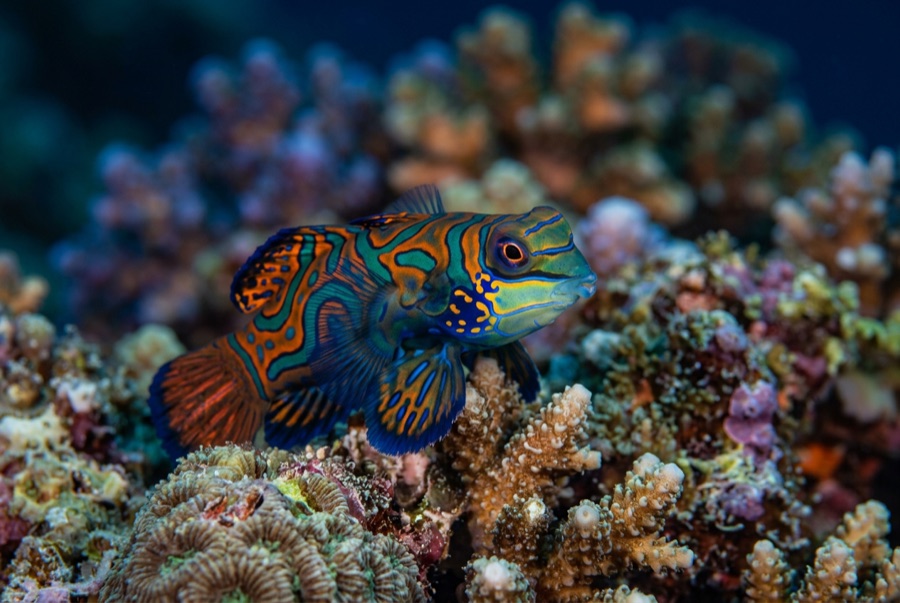
Mandarinfish

Nudibranchs
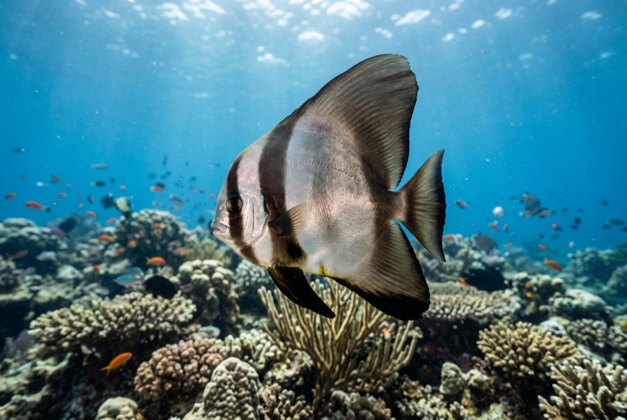
Pinnate Batfish
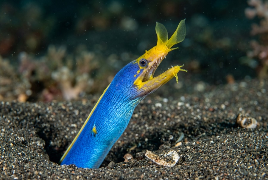
Ribbon Eel
水中フォトグラファー向け
ワイドアングル: ★★★☆☆ · マクロ: ★★★★★ — 各撮影スタイルに対するこのサイトの評価(編集部による1〜5点)