Samarai Wharf
수심은 사이트 상단부터 통상적인 최대 수심까지의 범위이며, '권장 자격증'은 업체에서 통상적으로 요구하는 주요 인증 기관 기준이지 법적 규정이 아닙니다. 조류와 시야는 매일 달라지므로, 모든 정보는 계획 수립용 참고 범위로 활용하세요.
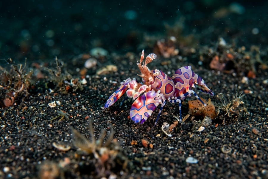
Samarai was once a thriving colonial port, and its long wharf has spent the decades since converting harbor junk into habitat. Pilings wear sponges and soft corals like upholstery; the rubble below hides mandarinfish that rise to court at dusk, frogfish wedged among bottles and cable, ribbon eels, and squadrons of striped catfish sweeping the silt. Batfish circle the structure in loose formation. The China Strait's tide keeps everything fed and demands the schedule be respected. It is a classic pier dive (history overhead, oddities below), and dusk here, waiting on the mandarinfish, is a Milne Bay ritual.
바로 그 순간: Mandarinfish courtship at dusk; piling growth and glassfish; a working museum of port-town debris turned reef.
지형: Wharf pilings, sunken debris, and silty rubble from a century of harbor life
조류: The China Strait funnels tide past the island; dives run at slack or on the gentle phase.
진입: Dived beside the old island wharf in the China Strait; timed around the strait's tides.
입수 전에 알아두세요
위험 요소: Tidal current in the strait; sharp metal and glass in the rubble; low visibility on the wrong tide.
보존: The wharf is village front yard as much as dive site: courtesy ashore, no artifact collecting below.
만날 수 있는 생물

Nudibranchs
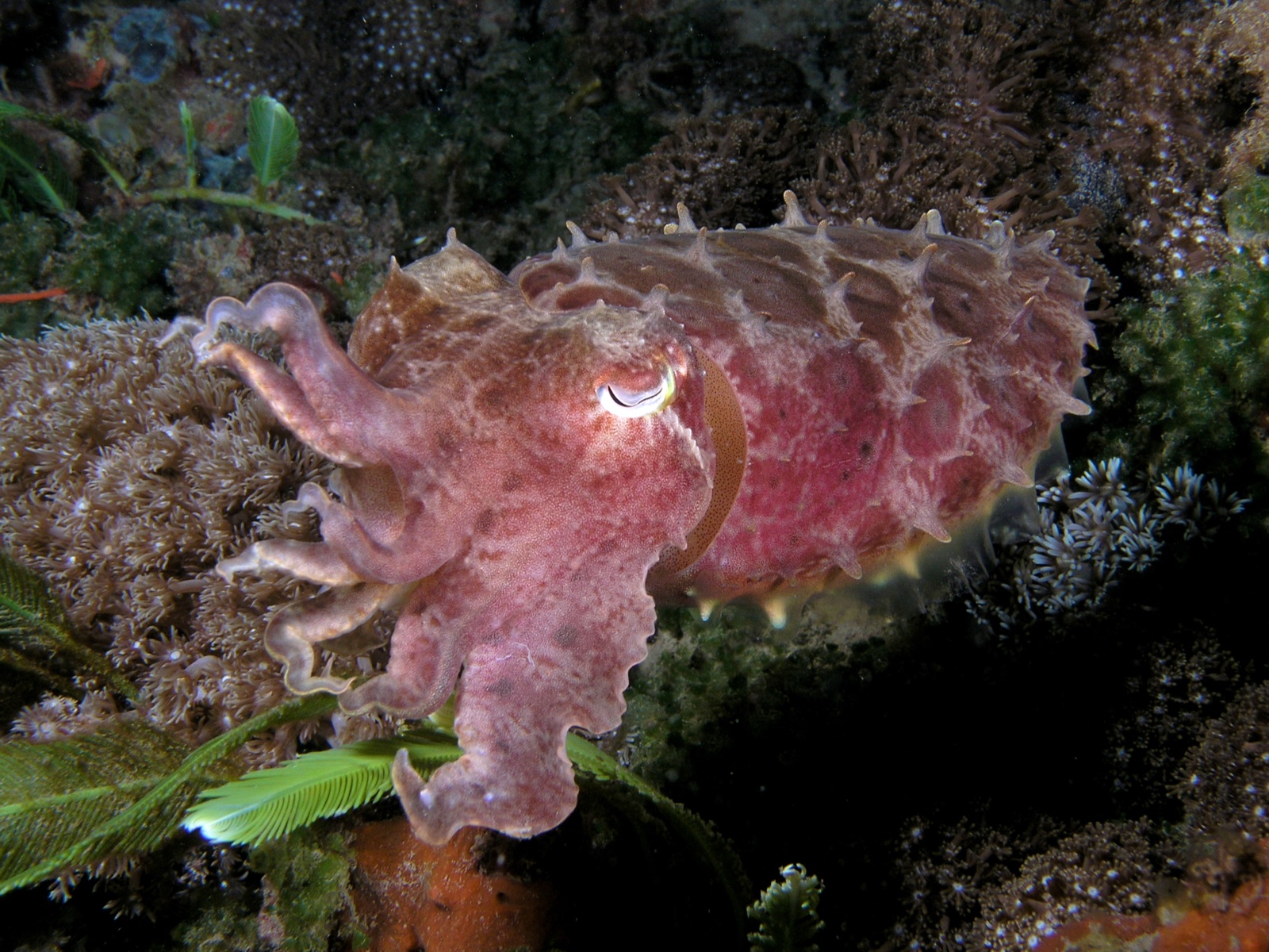
Broadclub Cuttlefish
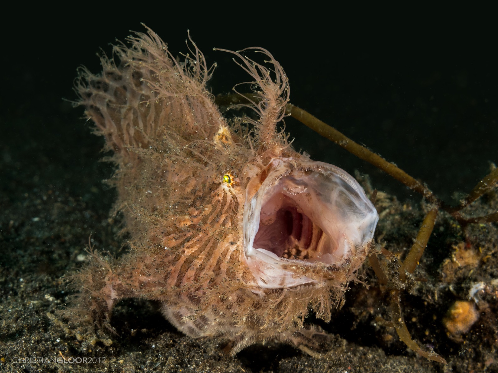
Frogfish
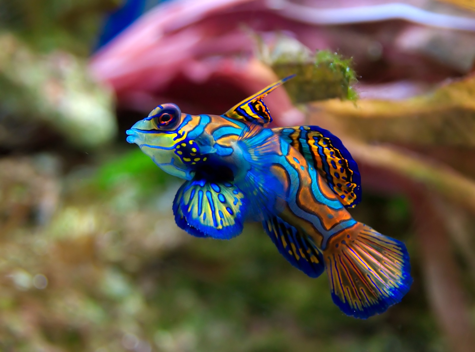
Mandarinfish
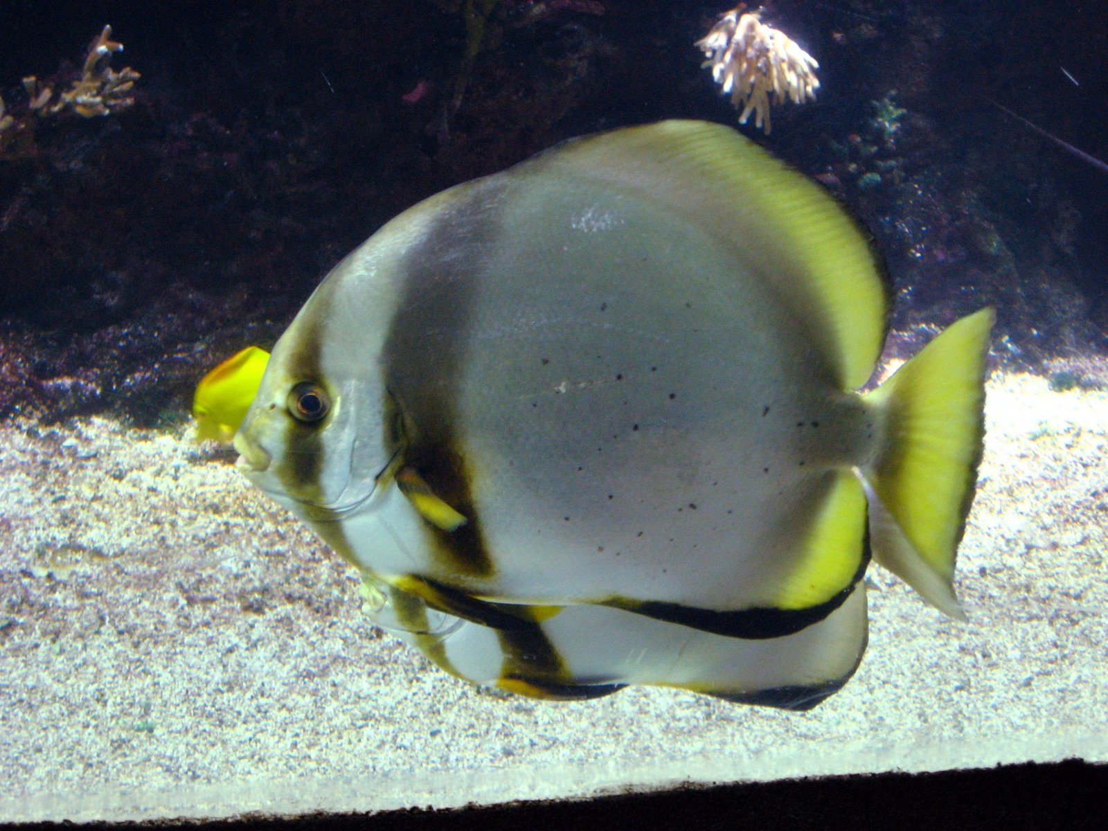
Pinnate Batfish
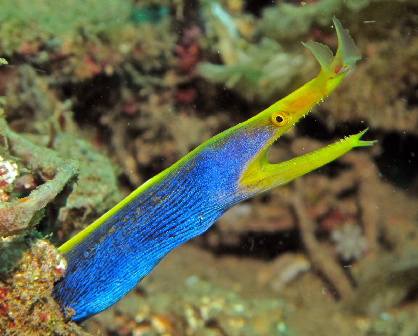
Ribbon Eel

Clownfish & Anemonefish
"여기에 등록된" 생물종은 편집팀이 이 페이지의 출처를 바탕으로 목록화한 종입니다. 표시된 수치는 GBIF 출현 기록으로, 1990년 이후 등록 위치 기준 약 5km 이내에서 관찰·기록된 건수이며, 저희 카탈로그에 수록된 종에 한해 대조한 결과입니다. 실제로 목격된 사례를 보여주는 것이며, 현장에서 반드시 볼 수 있다는 보장은 아닙니다.
수중 촬영자를 위한 정보
광각: ★★★☆☆ · 마크로: ★★★★★ (각 촬영 스타일에 대한 에디터의 1–5점 평가)