Samarai Wharf
深度范围指从潜点顶部到通常最大深度;"建议认证等级"是运营商通常要求的主流机构等级,并非法律规定。水流和能见度每天都会变化,请将这里的所有信息视为规划参考范围。
Samarai was once a thriving colonial port, and its long wharf has spent the decades since converting harbor junk into habitat. Pilings wear sponges and soft corals like upholstery; the rubble below hides mandarinfish that rise to court at dusk, frogfish wedged among bottles and cable, ribbon eels, and squadrons of striped catfish sweeping the silt. Batfish circle the structure in loose formation. The China Strait's tide keeps everything fed and demands the schedule be respected. It is a classic pier dive (history overhead, oddities below), and dusk here, waiting on the mandarinfish, is a Milne Bay ritual.
您此行的高光时刻: Mandarinfish courtship at dusk; piling growth and glassfish; a working museum of port-town debris turned reef.
地形地貌: Wharf pilings, sunken debris, and silty rubble from a century of harbor life
水流: The China Strait funnels tide past the island; dives run at slack or on the gentle phase.
入水方式: Dived beside the old island wharf in the China Strait; timed around the strait's tides.
入水前须知
危险因素: Tidal current in the strait; sharp metal and glass in the rubble; low visibility on the wrong tide.
保育: The wharf is village front yard as much as dive site: courtesy ashore, no artifact collecting below.
你会遇见谁

Nudibranchs
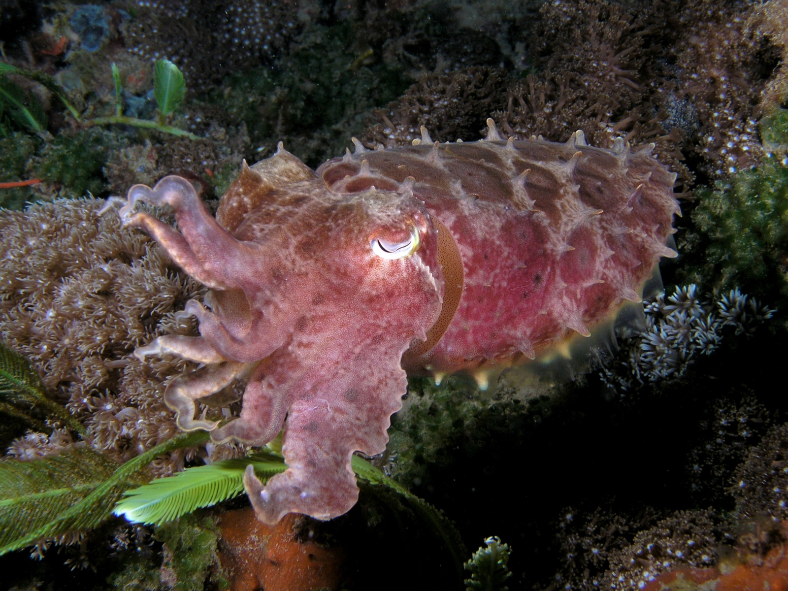
Broadclub Cuttlefish
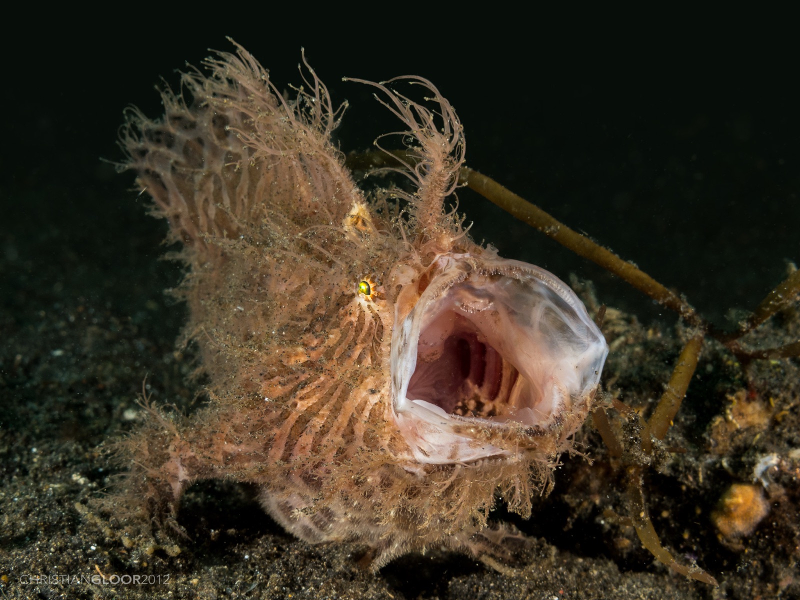
Frogfish
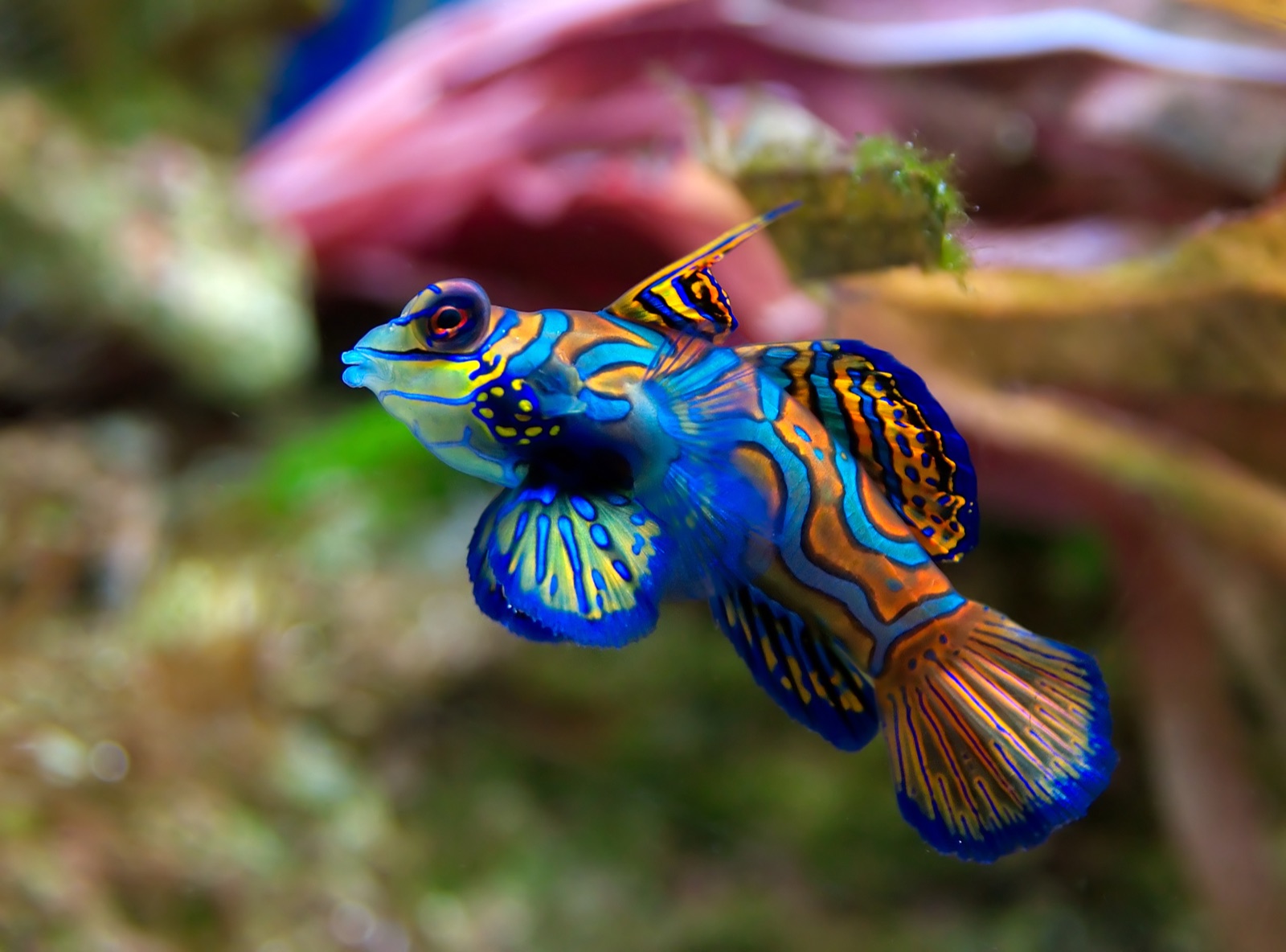
Mandarinfish
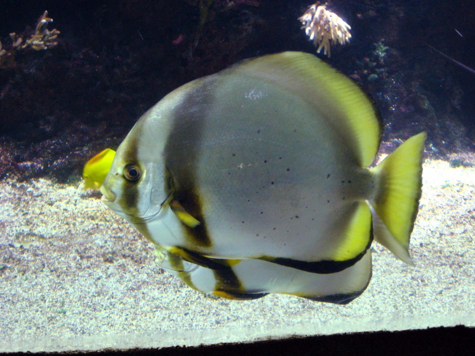
Pinnate Batfish
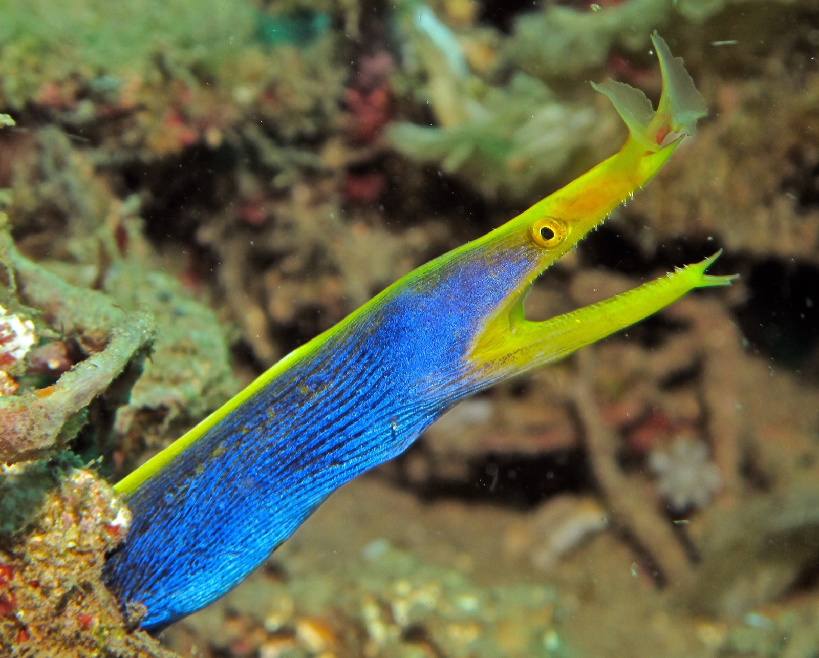
Ribbon Eel

Clownfish & Anemonefish
"已标注于此"的物种由编辑团队从本页所列来源中整理收录。数量为GBIF出现记录数:即1990年以来在标注位置约5公里范围内记录的观测数据,仅与我们目录中的物种进行匹配。这些数据反映的是该地点的历史目击情况,并非对您此行所见的保证。
摄影师专区
广角: ★★★☆☆ · 微距: ★★★★★ (编辑对该潜点适合各类水下摄影风格的1–5分评级)