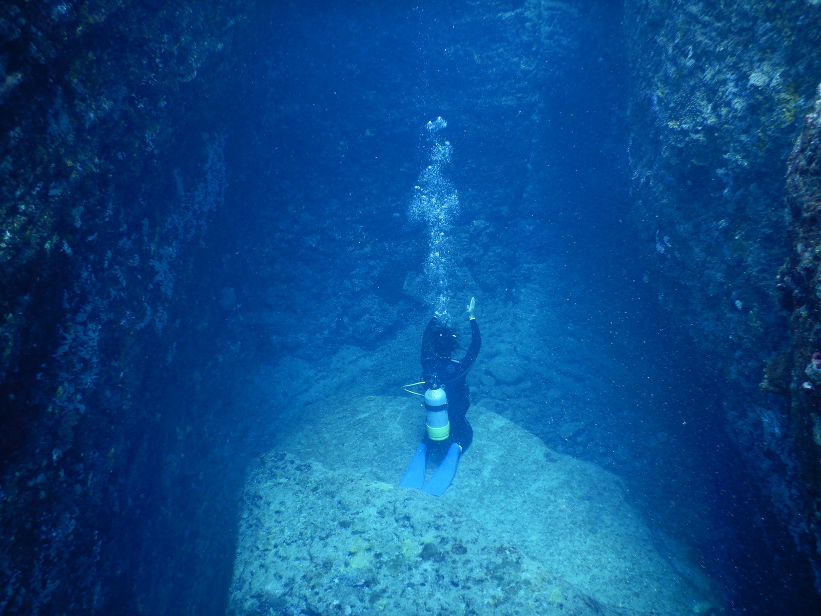
Yonaguni Monument
Глубина указана в диапазоне от верхней точки объекта до обычного максимума; «рекомендуемый уровень сертификации» означает стандарт крупных агентств, который операторы обычно запрашивают, а не юридическое требование. Течения и видимость меняются ежедневно, поэтому воспринимайте все данные здесь как ориентировочные.
The Monument is a mass of layered sandstone the size of a building, cut into flat terraces, straight edges, and stark right angles, found in 1986 by local diver Kihachiro Aratake while scouting hammerhead grounds. Whether people shaped it is a genuine, unresolved argument. Marine geologist Masaaki Kimura spent years cataloguing what he interpreted as tool marks, drainage channels, and even carvings; most geologists respond that this sandstone naturally fractures along horizontal bedding and vertical joints, producing staircase forms without any hands involved, and that similar geometry appears on the island's shoreline. Diving it, you sweep across the main terrace, duck the surge behind the prow-like corner, and understand why both camps sound so sure of themselves.
Момент, ради которого вы приехали: The terraces and right angles themselves, the natural-versus-carved debate, big Kuroshio visibility
Рельеф дна: Massive stepped sandstone formation rising from about 26 m toward the surface
Течение: Kuroshio-driven flow and surge over the terraces are routine; calm days are the exception to plan for.
Вход: Short boat runs from the island's harbors; entries are timed around surge and the current wrapping the south coast.
Узнай до того, как войдёшь в воду
Опасности: Surge over the terraces, current at the corners, and swell surface intervals; listen hard to the local briefing.
Найтрокс: Здесь это оправдано: профили находятся в диапазоне, где обогащённый воздух реально увеличивает время без декомпрессии (при наличии соответствующей подготовки).
Для фотографов
Широкий угол: ★★★★★ · Макро: ★☆☆☆☆ (редакционная оценка от 1 до 5 того, что этот сайт даёт каждому стилю съёмки)