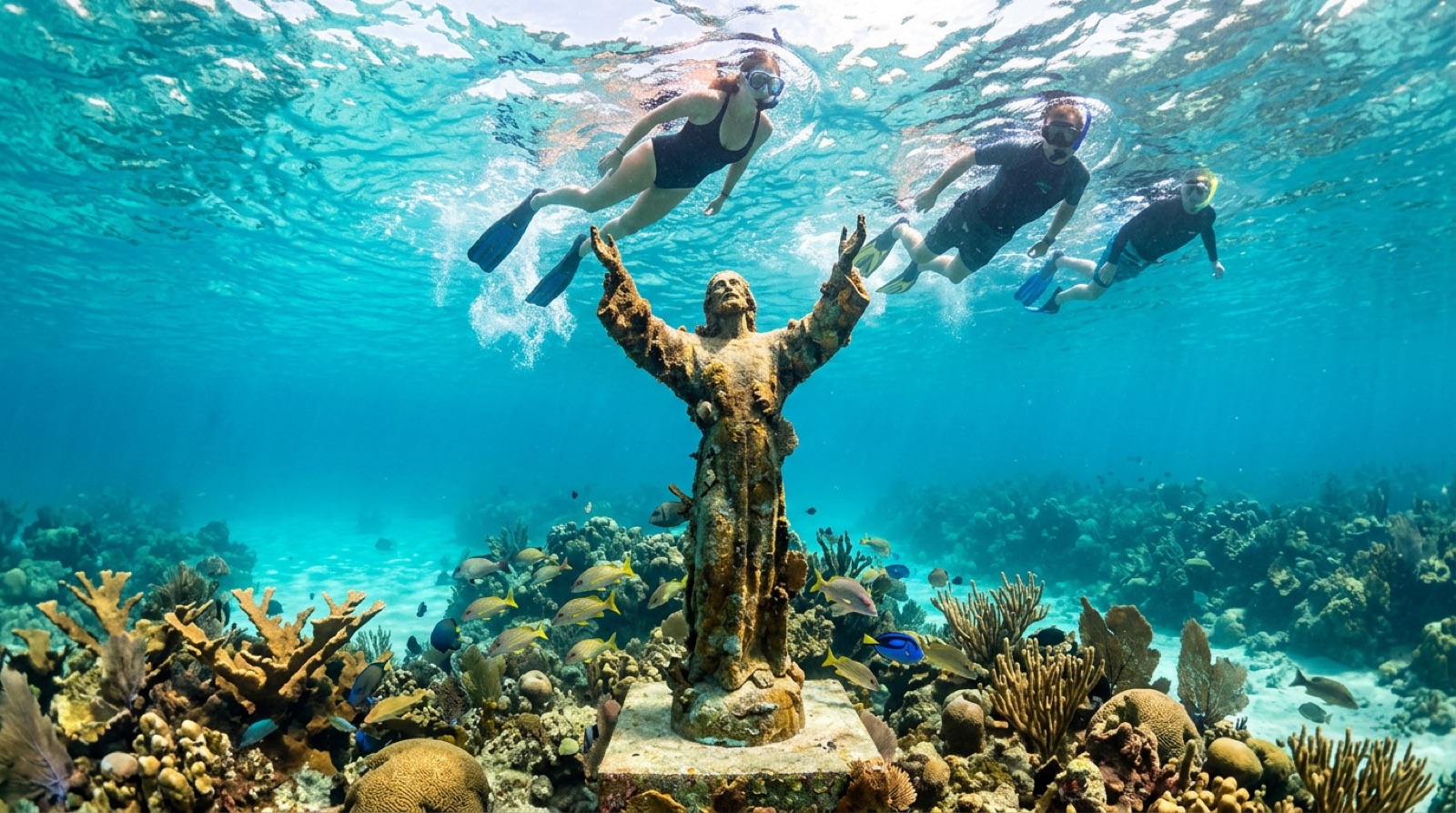
Florida Keys
The Florida Keys string 180 km of islands between the Atlantic and the Gulf, tracing the only living coral barrier reef in the continental United States. Key Largo's marine sanctuary moorings, the bronze Christ of the Abyss statue, and a fleet of large intentionally sunk ships - Spiegel Grove, Duane, Vandenberg - make this the easiest place in America to log warm, big-structure dives year-round. Conditions are driven by the Gulf Stream: mostly benign, occasionally sporty, always close to a dock.
Por qué bucear aquí
The Keys work because everything is twenty minutes from shore. Spur-and-groove reefs like Molasses and Looe Key sit in 5-12 m of clear, mooring-buoyed water inside the Florida Keys National Marine Sanctuary, thick with grunts, barracuda, turtles, and nurse sharks. When you want scale, the artificial reef program delivers it: the 155 m Spiegel Grove off Key Largo, the upright and current-swept Duane, and Key West's 159 m Vandenberg, its radar dishes still standing. Goliath groupers the size of loveseats haunt the wrecks, a recovery story unique to Florida. Winter cold fronts and summer hurricanes set the rhythm, but there is no closed season, training conditions are forgiving, and the after-dive culture - conch fritters, tiki bars, the Overseas Highway - is half the point. It is not the world's wildest diving; it is dependable, protected, ship-rich diving an easy drive from three international airports, which is why generations of American divers started here.
Mes a mes
Diveable all year. April-August brings the warmest, calmest water; June-November is hurricane season with September the peak risk; December-March sees cold fronts that blow out boats for a day or two at a time but also the clearest patches between them.
| Mes | Agua | Visibilidad | Cómo es |
|---|---|---|---|
| January●●●○○ | 22–24 °C / 72–75 °F | 10–20 m | Cold fronts; great vis on the settled days between them. |
| February●●●○○ | 22–24 °C / 72–75 °F | 10–20 m | |
| March●●●○○ | 23–25 °C / 73–77 °F | 10–20 m | |
| April●●●●○ | 24–26 °C / 75–79 °F | 12–25 m | Seas settle; water warming. |
| May●●●●○ | 26–28 °C / 79–82 °F | 15–30 m | |
| June●●●●○ | 28–30 °C / 82–86 °F | 15–30 m | Hurricane season begins; flat calm mornings common. |
| July●●●●● | 29–31 °C / 84–88 °F | 15–30 m | Warmest, calmest stretch of the year. |
| August●●●●● | 29–31 °C / 84–88 °F | 15–30 m | |
| September●●●●○ | 28–30 °C / 82–86 °F | 15–30 m | Peak hurricane risk - build flexibility into plans. |
| October●●●●○ | 26–29 °C / 79–84 °F | 12–25 m | |
| November●●●○○ | 24–27 °C / 75–81 °F | 10–25 m | |
| December●●●○○ | 22–25 °C / 72–77 °F | 10–20 m |
Confianza en los datos mensuales: Documented. Los meses sin fila no tienen datos verificados — preferimos mostrar un hueco antes que inventar uno.
Los puntos de buceo (7)
| Sitio | Tipo | Profundidad | Nivel | Acceso | |
|---|---|---|---|---|---|
| Christ of the Abyss The famous statue, easy depths, snorkel-friendly coral heads | Reef | 3–9 m | Beginner | Boat | |
| Looe Key Reliable reef sharks, tall coral spurs, joint snorkel-and-dive appeal | Reef | 2–12 m | Beginner | Boat | |
| Molasses Reef Textbook spur-and-groove, dense fish schools, turtles and rays on nearly… | Reef | 5–15 m | Beginner | Boat | |
| SS Benwood WWII casualty turned nursery, superb night diving, easy depths over open… | Wreck | 8–14 m | Beginner | Boat | |
| USCGC Duane An upright, storied cutter in blue Gulf Stream water, barracuda escorts… | Wreck | 18–36 m | Advanced | Boat | |
| USNS Vandenberg Radar dishes on a sunken tracking ship, huge intact structure, Key West's… | Wreck | 14–43 m | Advanced | Boat | |
| USS Spiegel Grove One of the largest ships ever intentionally reefed, resident goliath… | Wreck | 14–40 m | Advanced | Boat |
Vida marina con la que puedes planificar
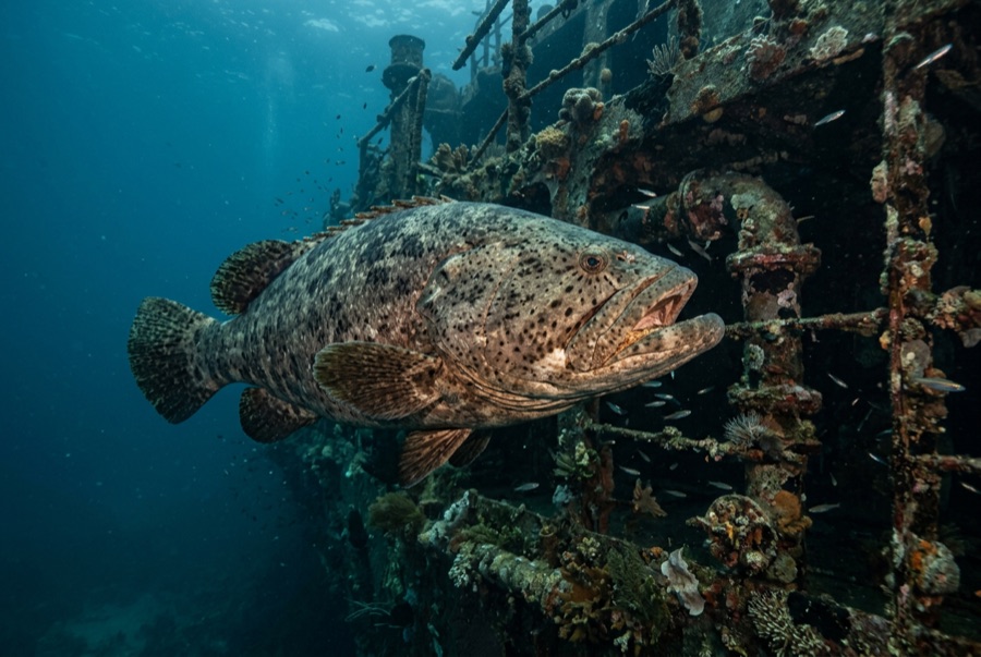
Atlantic Goliath Grouper
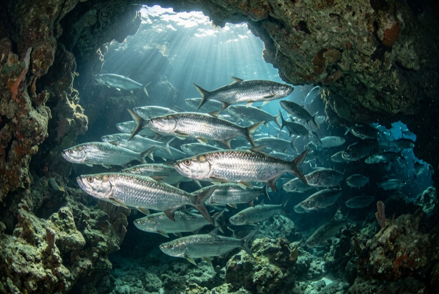
Atlantic Tarpon
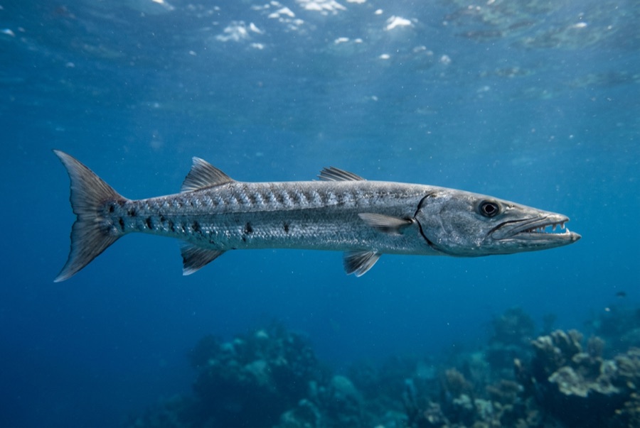
Great Barracuda
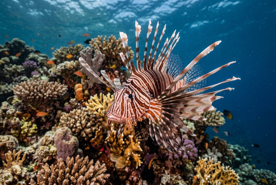
Lionfish
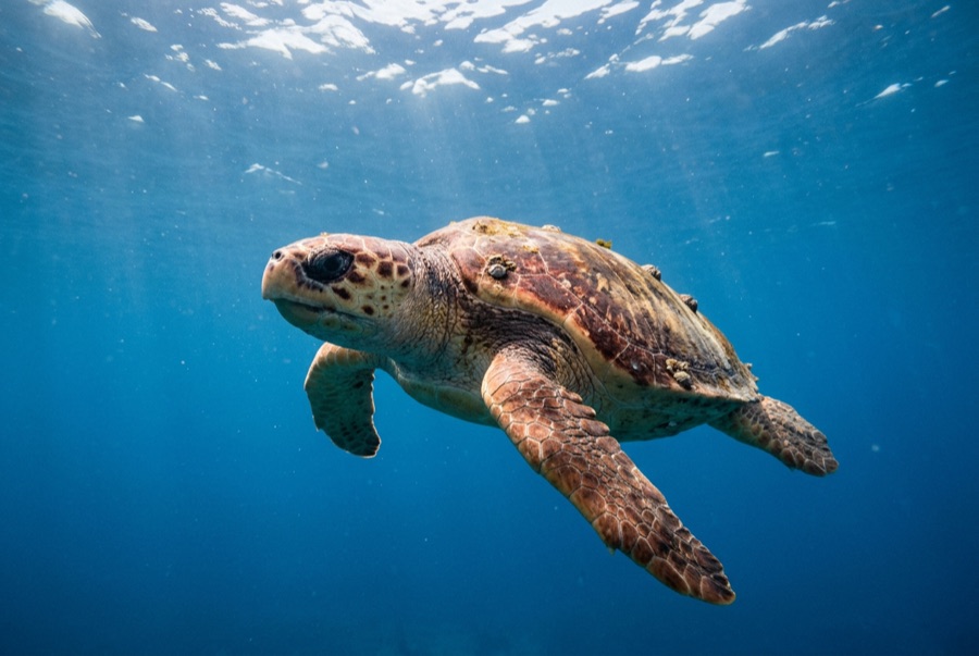
Loggerhead Turtle
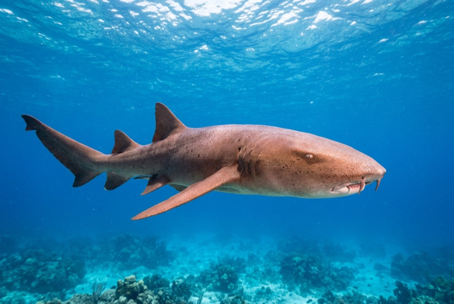
Nurse Shark
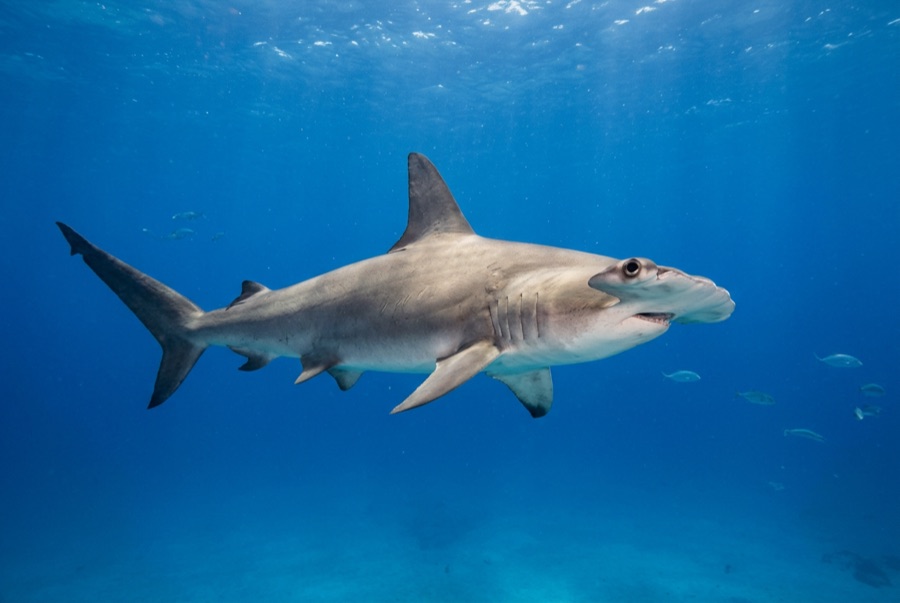
Great Hammerhead
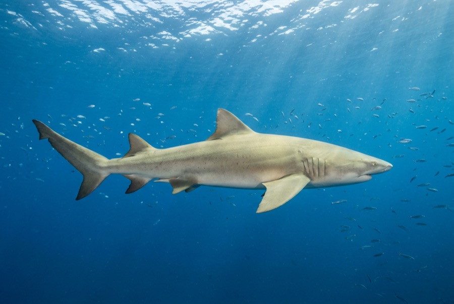
Lemon Shark
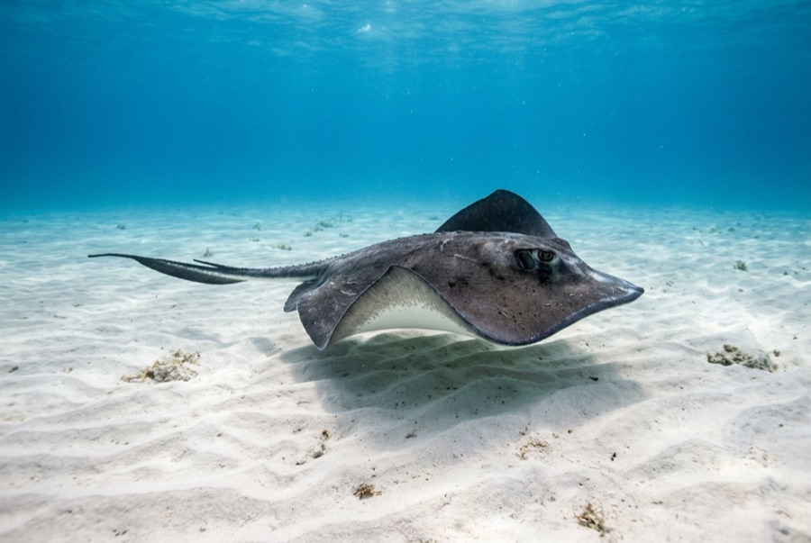
Southern Stingray
Green and hawksbill turtles, nurse sharks, goliath groupers on the wrecks, great barracuda, southern stingrays, spotted eagle rays, tarpon in season, dense grunt and snapper schools, and invasive lionfish that local hunters keep working on.
Pecios aquí
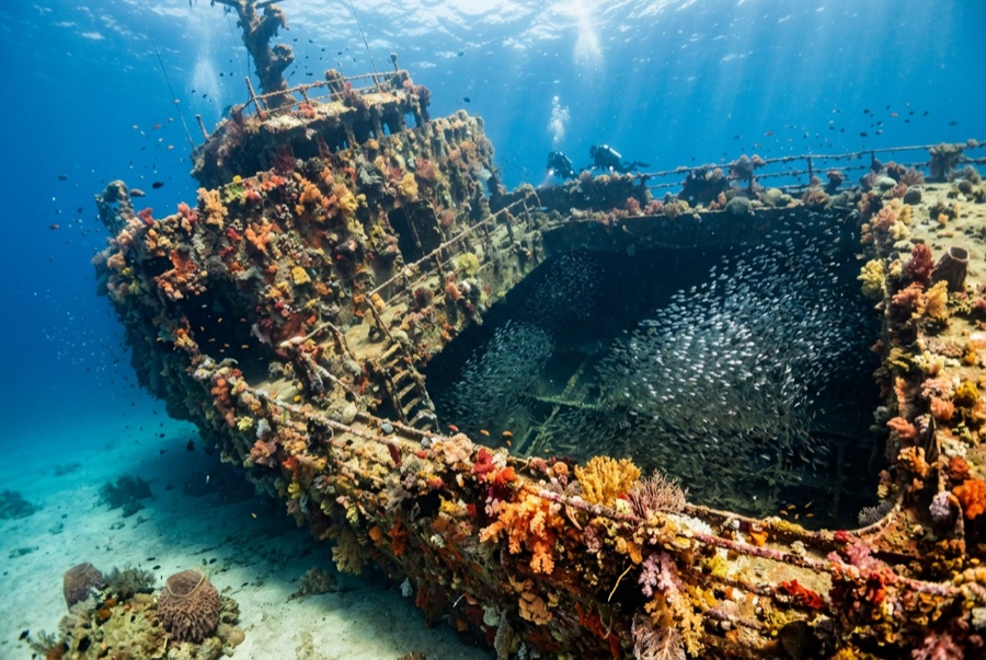
SS Benwood
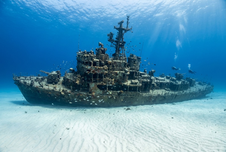
USCGC Duane
USNS General Hoyt S. Vandenberg
USS Spiegel Grove
Cómo llegar y dónde alojarse
Cómo llegar: Fly into South Florida and drive the Overseas Highway - Key Largo is about 1.5 hours from Miami, Key West about 3.5-4. Key West also has direct flights. Dive shops cluster in Key Largo, Islamorada, Marathon, Big Pine, and Key West.
Dónde alojarse: Key Largo is the diving capital and closest to the marquee wrecks and reefs; Key West trades some reef quality for the Vandenberg and the best nightlife.
Costes: Two-tank reef trips generally run about US$95-145; deep wreck trips price toward the top of that and beyond. Sanctuary rules require using mooring buoys - operators handle it.
Entre inmersiones: The Everglades next door, sport fishing, paddling the backcountry, Hemingway's Key West, and roadside attractions the whole length of US-1.
Esnórquel: Christ of the Abyss and the shallow sanctuary reefs are among the best easy snorkels in the United States.
Seguridad y aspectos prácticos
Riesgos: Gulf Stream current on the deep wrecks (the Duane and Vandenberg can run hard enough to cancel), boat traffic, summer thunderstorms, hurricane season, fire coral, and occasional stinging thimble jellyfish in spring.
Reef dives suit all levels, but the big wrecks are genuine 25-40 m dives often done in current - use the granny lines, watch your gas, and consider nitrox. The sanctuary prohibits touching coral, anchoring on reef, and spearfishing in protected zones. Emergencies go through 911 and DAN.
Cámara de recompresión más cercana: Hyperbaric care for the Keys has historically involved both in-Keys facilities and Miami hospitals; availability changes, so emergencies route through 911, EMS, and DAN rather than assumptions.