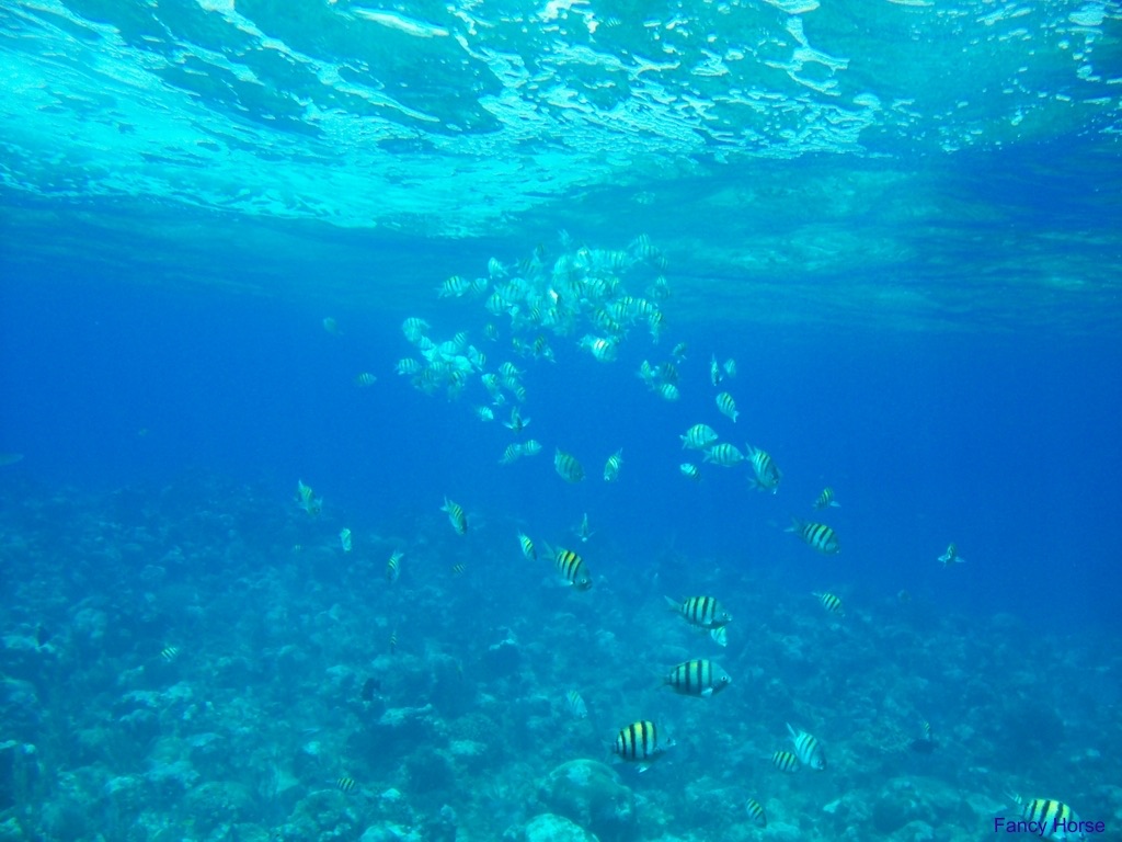
Roatán
Roatan is the largest of Honduras's Bay Islands, a forested ridge wrapped in fringing reef on the southern edge of the Mesoamerican system. Walls begin minutes from shore, two purpose-sunk wrecks sit within recreational depths, and the crevice maze at Mary's Place is one of the Caribbean's most distinctive single dives. Prices stay reasonable, and the Roatan Marine Park keeps moorings and patrols on the busiest stretch.
Por qué bucear aquí
The island's geology sets the tone: the reef drops close to shore on both coasts, so five-minute boat rides deliver you onto walls cut with sand chutes, tunnels, and deep cracks. Mary's Place is the famous one: a set of volcanic-looking fissures you drift through single file, sponges and black coral crowding the narrow sky overhead. Sandy Bay holds the El Aguila wreck, snapped into three pieces by Hurricane Mitch and now thick with big green morays; the Odyssey nearby is one of the Caribbean's larger intentional sinkings. On the south side, operators run a long-established Caribbean reef shark dive at Cara a Cara. Between the marquee names lie dozens of relaxed reef sites where turtles and eagle rays are routine. Add cheap certification courses, a real town scene at West End, and direct flights from North America, and Roatan makes an easy case.
Mes a mes
March through August is the settled stretch, with light winds and the warmest water. October through January is the rainy season, when north-shore sites can blow out and boats shift to the lee. Hurricanes are less frequent here than farther north, but the risk is real August–October.
| Mes | Agua | Visibilidad | Cómo es |
|---|---|---|---|
| January●●●○○ | 26–28 °C / 79–82 °F | 15–30 m | Rainy season tail; northers stir the sea. |
| February●●●●○ | 26–27 °C / 79–81 °F | 15–30 m | Drying out; water at its coolest. |
| March●●●●● | 26–28 °C / 79–82 °F | 20–30 m | Calm, clear, and dry. |
| April●●●●● | 27–28 °C / 81–82 °F | 20–30 m | Settled seas; visibility strong. |
| May●●●●● | 27–29 °C / 81–84 °F | 20–30 m | Warm and calm. |
| June●●●●○ | 28–29 °C / 82–84 °F | 15–30 m | Hotter, with passing showers. |
| July●●●●○ | 28–30 °C / 82–86 °F | 15–30 m | Warm water; brief squalls. |
| August●●●●○ | 28–30 °C / 82–86 °F | 15–30 m | Hot; tropical systems possible. |
| September●●●○○ | 28–30 °C / 82–86 °F | 15–30 m | Storm season peaks regionally. |
| October●●●○○ | 28–29 °C / 82–84 °F | 10–25 m | Rains arrive in earnest. |
| November●●●○○ | 27–29 °C / 81–84 °F | 10–25 m | Wet; boats work the lee shore. |
| December●●●○○ | 26–28 °C / 79–82 °F | 15–25 m | Rain and northers; diveable windows. |
Confianza en los datos mensuales: Documented. Los meses sin fila no tienen datos verificados. Preferimos mostrar una laguna antes que inventarla.
Los puntos de buceo (6)
| Sitio | Tipo | Profundidad | Nivel | Acceso | |
|---|---|---|---|---|---|
| Blue Channel Coral arches and cavelets, dense overhang life, first-rate night diving in… | Channel | 5–15 m | Beginner | Boat | |
| Cara a Cara Sustained close encounters with Caribbean reef sharks, clear observation of… | Reef | 18–21 m | Advanced | Boat | |
| El Aguila Three-piece broken hull, oversized green morays and groupers, garden-eel… | Wreck | 20–33 m | Advanced | Boat | |
| Mary's Place Single-file crevice passages, black coral and sponge-lined walls, a… | Wall | 8–30 m | Intermediate | Boat | |
| Odyssey One of the western Caribbean's larger intentional wrecks, hold and… | Wreck | 18–34 m | Advanced | Boat | |
| West End Wall Reliable turtles, sponge-loaded wall face, effortless logistics from West… | Wall | 10–35 m | Intermediate | Boat |
Vida marina con la que puedes planificar
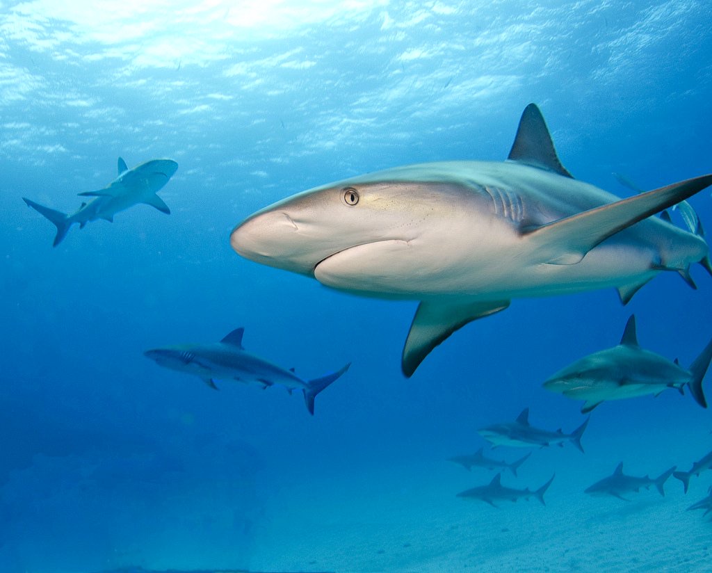
Caribbean Reef Shark
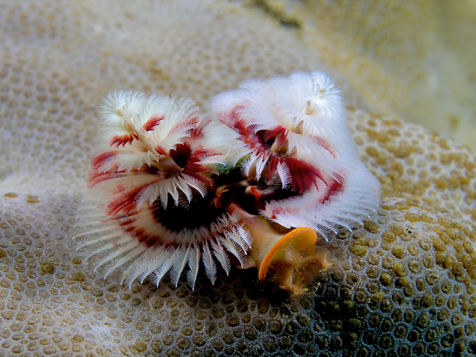
Christmas Tree Worm

Lionfish
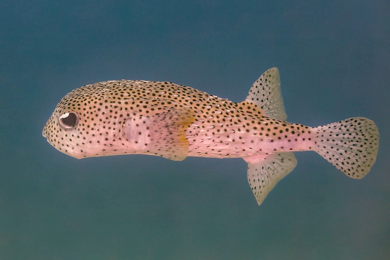
Porcupinefish
Hawksbill and green turtles on nearly every wall, spotted eagle rays in the blue, Caribbean reef sharks at Cara a Cara, big green morays on the wrecks, and dense sponge growth that draws angelfish and filefish. Whale sharks pass occasionally, more often near Utila.
Pecios aquí
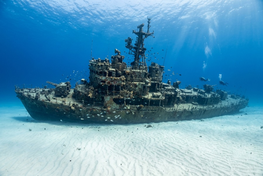
El Aguila
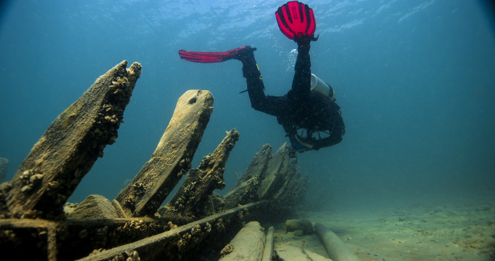
Odyssey
Cómo llegar y dónde alojarse
Cómo llegar: Direct flights arrive from several US cities, plus connections through San Pedro Sula. Ferries link Roatan to La Ceiba on the mainland. Most dive operations cluster at West End, West Bay, and Sandy Bay, with resorts strung along the south shore.
Dónde alojarse: West End is the walkable dive-town hub; West Bay has the postcard beach and bigger resorts; south-shore dedicated dive resorts put Mary's Place and the shark dive closest.
Costes: Among the Caribbean's better values; multi-dive packages and course bundles drop the per-dive price further. Marine-park fees are charged annually or per visit on the West End stretch.
Entre inmersiones: Ziplines through the canopy, the iguana farm, Garifuna culture at Punta Gorda, mangrove channels at Oak Ridge, and West Bay's beach.
Seguridad y aspectos prácticos
Riesgos: Surge in the crevices at Mary's Place, boat traffic off West End, and occasional strong current on the exposed points. The shark dive concentrates animals with bait. Follow the briefing exactly.
Keep buoyancy tight in the narrow swim-throughs; fins and gauges scar sponges that took decades to grow. Baited shark dives are for divers who can hold position calmly on the bottom.
Cámara de recompresión más cercana: A hyperbaric chamber has long operated at Anthony's Key in Sandy Bay; access changes, so route emergencies through your operator, EMS, and DAN.