Sites de plongée, saisons et vie marine — recherchés, cartographiés, planifiés.
Menu
Destinations Sites de plongée Vie marine Épaves Actualités
Planifier un voyage Planificateur de séjour Quand plonger Calculateur de coût Comparaisons Calendrier de la faune marine Température de l'eau Liveaboards Opérateurs & resorts Parcs marins Caissons hyperbares Carte du monde
Régions Australie, Nouvelle-Zélande & Asie de l'EstCaraïbes & Atlantique occidentalEurope, Atlantique & MéditerranéeOcéan Indien & Afrique de l'EstÎles du Pacifique & MicronésieMer Rouge & Moyen-OrientAsie du Sud-Est et Triangle de CorailLes Amériques et Pacifique Est Pays
Apprendre & Outils Tous les guides Certifications Guides d'équipement Vidéos Interroger les données Agents IA API
À propos À propos de nous Méthodologie Avertissement Contact
Votre vue
★ Enregistré

Vos destinations, sites et espèces favoris — enregistrés dans ce navigateur.

API GATEWAY

Accès JSON gratuit en lecture seule aux données en cache de l'atlas.

Mode sombre

🧭 Vue Guidée
Nouveau dans la plongée — profondeurs, courants, niveaux de certification ? Nous expliquons chaque terme au fil de votre navigation, en langage clair. Les mêmes données, avec l'aide intégrée.

⚡ Vue Expert
Vous connaissez déjà la différence entre un tombant et un drift. Juste les données — claires, rapides et compactes. C'est la vue par défaut.

Langue de l'interface
USS Saratoga — illustrative image

USS Saratoga

Wreck 18–52 m Technical Bikini Atoll, Marshall Islands
Illustration générée par IA
Bien documenté
Profondeur
18–52 m / 59–171 ft
Profondeur typique
40 m / 131 ft
Visibilité
15–30 m / 49–98 ft
Eau
27–30 °C / 81–86 °F
Courant
Mild
Accès
Liveaboard
Meilleurs mois
May–Oct
Certification recommandée
Technical decompression training; normoxic trimix standard on deeper tours

La profondeur indique la plage entre le sommet du site et son maximum habituel ; le « niveau de certification recommandé » correspond au niveau généralement demandé par les opérateurs selon les agences grand public, et non à une règle légale. Les courants et la visibilité varient chaque jour — considérez toutes ces informations comme des estimations de planification.

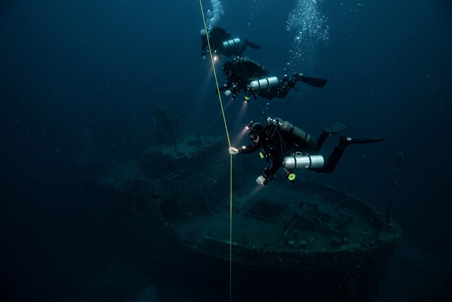
Nothing else in diving prepares you for an aircraft carrier. The Saratoga — a 270-meter veteran of the Pacific war — was expended as a target in the July 1946 Baker test and settled upright, her island still standing watch over an empty flight deck. Technical teams drop through weeks of planning onto a ship that takes an entire expedition to sample: Helldiver aircraft and bombs in the hangar spaces, the bridge with instruments in place, five-inch gun mounts, and living quarters receding into darkness. The scale rearranges your sense of what a wreck is; the deco hangs give you time to think about it.

Le moment pour lequel vous venez: The island and bridge; aircraft and ordnance in the hangar; a flight deck the size of a runway emerging from blue haze.

Topographie: Upright hull on the lagoon floor around 50 m, flight deck near 27–30 m and island rising shallower

Entrée: Dived from expedition liveaboards only; teams stage decompression on fixed lines.

Ce site est une épave répertoriée USS Saratoga — US Navy fleet aircraft carrier (CV-3), coulé 1946. Historique complet de l'épave et guide de plongée →

À savoir avant de plonger

Dangers: Depth and mandatory decompression; degrading steel overhead; ordnance and aviation fuel residues; remoteness measured in days, not hours.

Conservation: Part of the UNESCO-listed nuclear test site; every object aboard is protected, and expedition rules on penetration and artifacts are absolute.

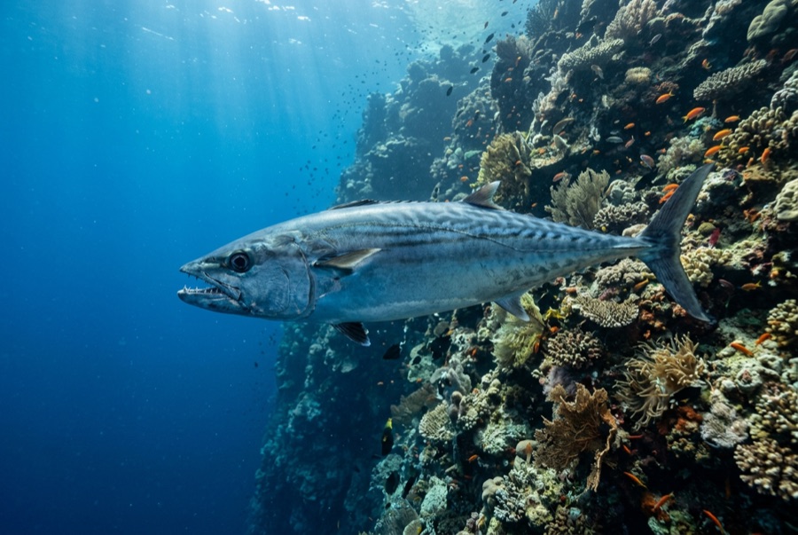
Qui vous croiserez
Pour les photographes

Grand angle: ★★★★★ · Macro: ★☆☆☆☆ — note 1–5 des éditeurs sur ce que ce site offre à chaque style de prise de vue

Australie, Nouvelle-Zélande & Asie de l'Est

Cairns & the Ribbon ReefsNingaloo ReefCoral Sea & Osprey ReefOkinawa & the Kerama IslandsPoor Knights IslandsTownsville & the YongalaGreen IslandIzu Peninsula

Caraïbes & Atlantique occidental

BonaireCozumelRiviera Maya & the CenotesBelize Barrier ReefGrand CaymanIsla Mujeres & CancúnRoatánTiger Beach & Grand Bahama

Europe, Atlantique & Méditerranée

Malta & GozoSilfra & IcelandThe AzoresCanary IslandsLarnaca & the ZenobiaScapa FlowArctic NorwayMadeira

Océan Indien & Afrique de l'Est

North & South Malé AtollsAri AtollBaa Atoll & Hanifaru BayAliwal Shoal & UmkomaasMafia IslandMauritiusSeychellesSodwana Bay

Îles du Pacifique & Micronésie

PalauChuuk (Truk) LagoonFakaravaKona, HawaiʻiRangiroaTaveuni & Rainbow ReefBeqa Lagoon & Pacific HarbourEspiritu Santo

Mer Rouge & Moyen-Orient

Sharm El Sheikh & Ras MohammedBrothers, Daedalus & St John'sDahabHurghada & El GounaMarsa Alam & the Deep SouthAqabaDaymaniyat IslandsMusandam Peninsula

Asie du Sud-Est et Triangle de Corail

Bali & Nusa PenidaKomodoRaja AmpatSipadan & MabulAnilaoCoronKoh TaoLembeh Strait

Les Amériques et Pacifique Est

Galápagos IslandsCocos IslandFlorida KeysSea of Cortez & Cabo PulmoSocorro & the RevillagigedosBritish ColumbiaCalifornia Channel IslandsCosta Rica Pacific Coast