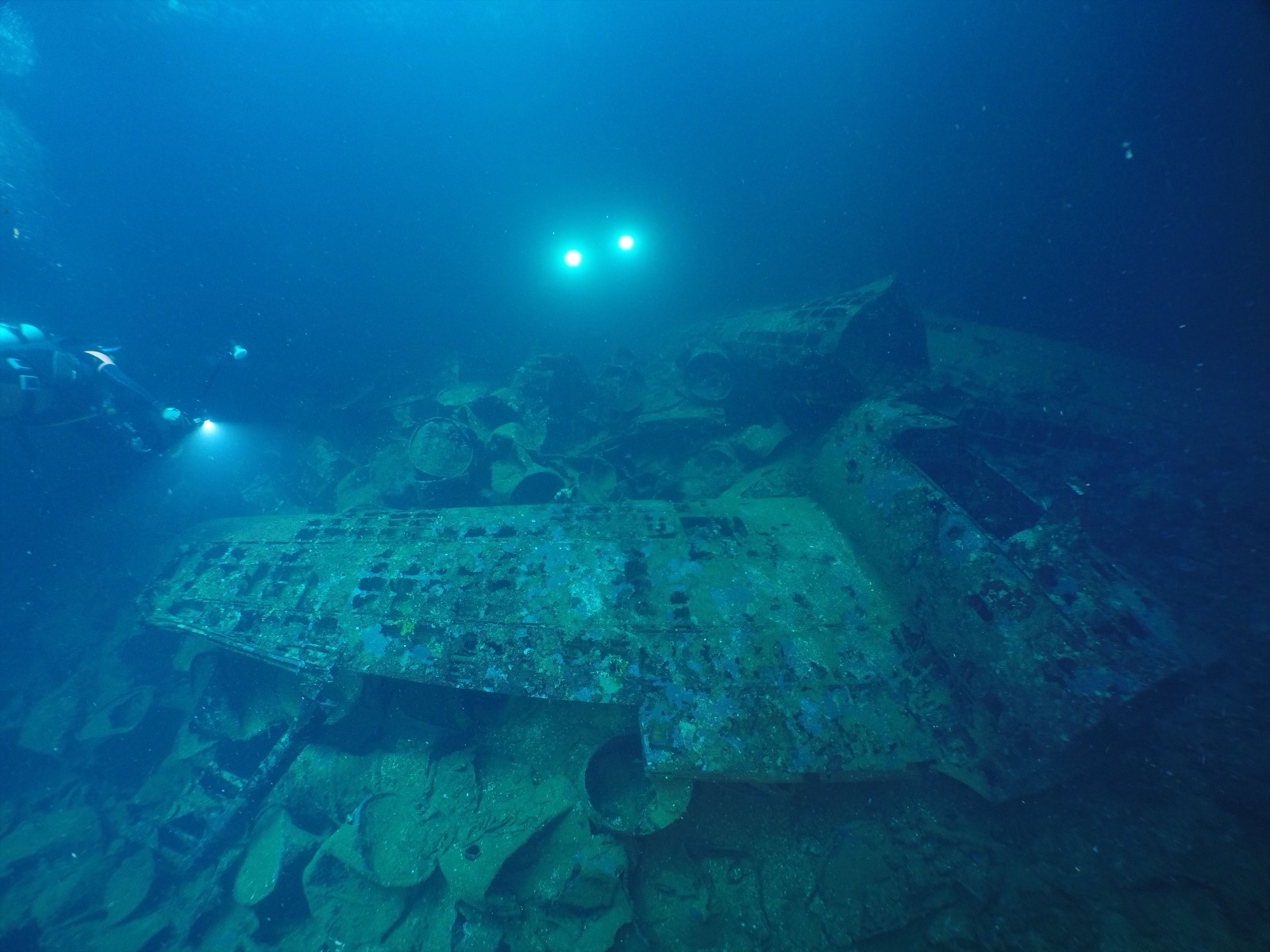
Fujikawa Maru
La profondeur correspond à la plage allant du sommet du site jusqu'à son maximum habituel ; le « niveau recommandé » est le niveau demandé en général par les opérateurs auprès des grandes agences, pas une règle légale. Les courants et la visibilité varient chaque jour, traitez donc tout cela comme des plages indicatives de planification.
If a first-time visitor gets one Chuuk wreck, guides usually choose this armed aircraft transport, sunk during Operation Hailstone in February 1944. The Fujikawa Maru sits upright at a depth that lets a single dive take in the coral-swaddled bow gun, masts feathered with soft coral, and holds where disassembled Zero fighter fuselages lie stacked in the gloom. In the engine room, a compressor with two round gauges has been nicknamed for a film robot and photographed thousands of times. Depth, light, and shelter combine so generously that many divers return here for their final dive of the trip as well as their first.
Le moment pour lequel vous venez: Zero fighter fuselages in the forward holds; the coral-encrusted six-inch bow gun; engine-room machinery for trained penetration teams.
Topographie: Upright hull on a flat lagoon floor at roughly 34 m
Entrée: Moored inside the lagoon; descend the line to the superstructure and work the deck before dropping into the holds.
À savoir avant de plonger
Dangers: Silt inside the holds lifts with one careless fin stroke; live ordnance remains aboard; penetration beyond the light zone requires wreck training and lights.
Conservation: A protected historic wreck and a place where men died: take nothing, touch nothing, and keep fins clear of the coral growth that now armors the steel.
Nitrox: Pertinent ici : les profils se situent dans la plage où le nitrox prolonge significativement le temps sans palier (avec la formation pour l'utiliser).
Qui vous croiserez

Nudibranchs

Clownfish & Anemonefish
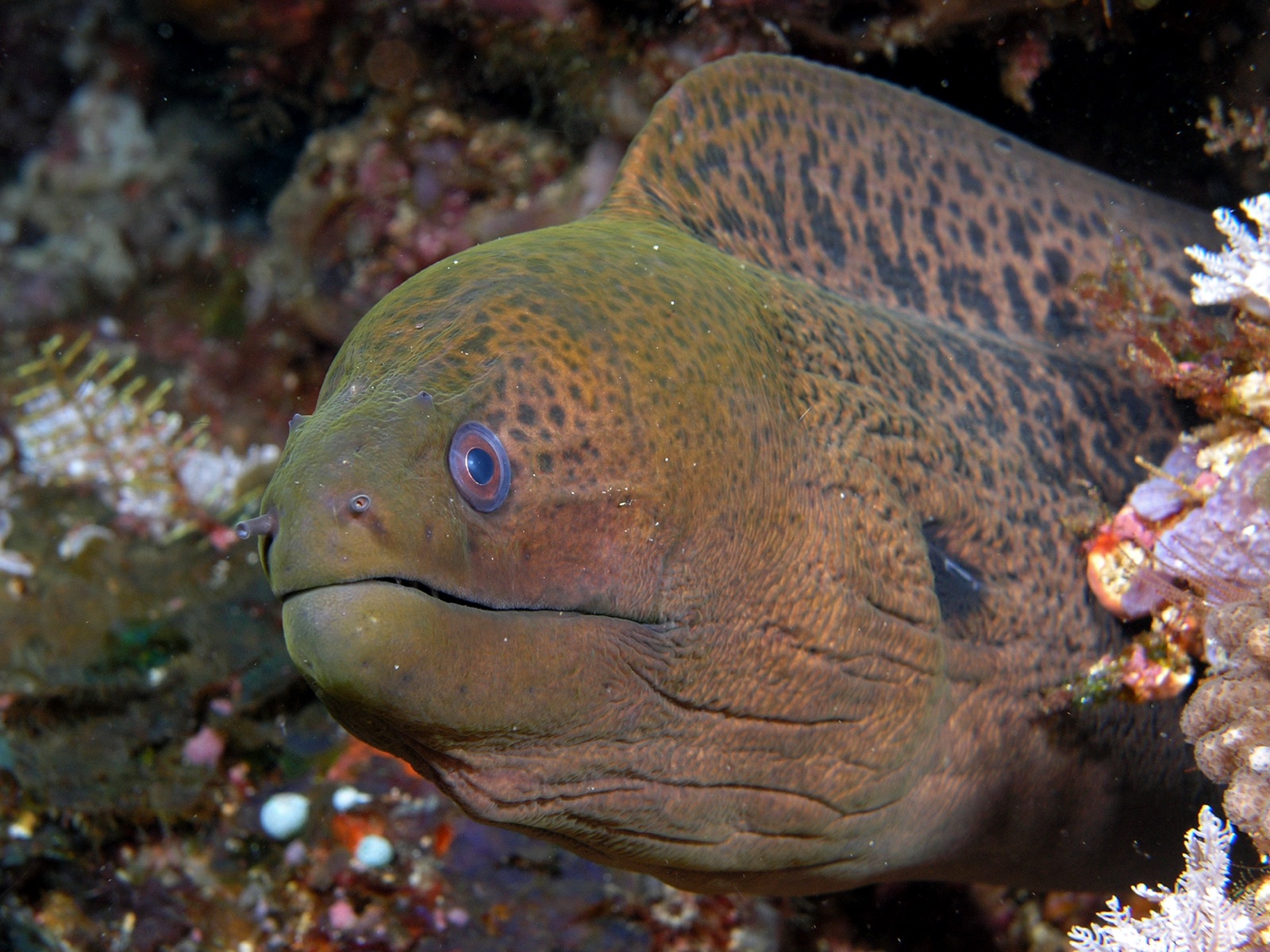
Giant Moray Eel
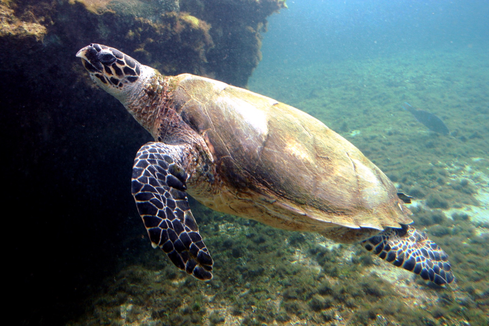
Hawksbill Turtle

Lionfish
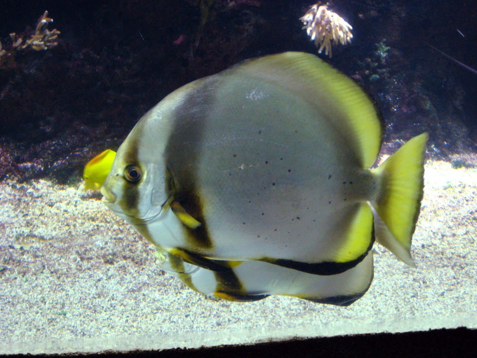
Pinnate Batfish
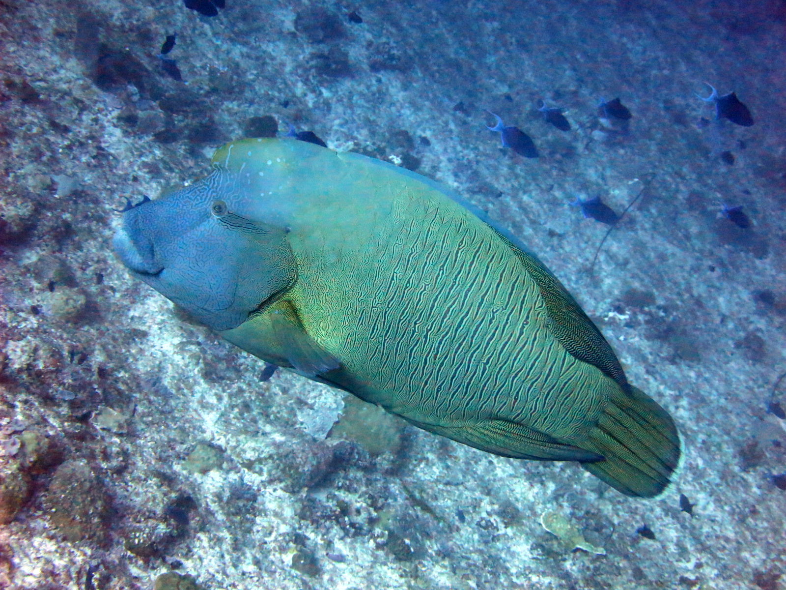
Napoleon (Humphead) Wrasse
Les espèces « cartographiées ici » ont été répertoriées par nos éditeurs à partir des sources indiquées sur cette page. Les comptages correspondent aux occurrences GBIF : observations enregistrées dans un rayon d'environ 5 km autour de la position cartographiée depuis 1990, comparées uniquement aux espèces de notre catalogue. Ils indiquent ce qui a été observé à cet endroit, sans garantir ce que vous y verrez.
Pour les photographes
Grand angle: ★★★★★ · Macro: ★★★☆☆ (note 1–5 des éditeurs sur ce que ce site offre à chaque style de prise de vue)