Sites de plongée, saisons et vie marine — recherchés, cartographiés, planifiés.
Menu
Destinations Sites de plongée Vie marine Épaves Actualités
Planifier un voyage Planificateur de séjour Quand plonger Calculateur de coût Comparaisons Calendrier de la faune marine Température de l'eau Liveaboards Opérateurs & resorts Parcs marins Caissons hyperbares Carte du monde
Régions Australie, Nouvelle-Zélande & Asie de l'EstCaraïbes & Atlantique occidentalEurope, Atlantique & MéditerranéeOcéan Indien & Afrique de l'EstÎles du Pacifique & MicronésieMer Rouge & Moyen-OrientAsie du Sud-Est et Triangle de CorailLes Amériques et Pacifique Est Pays
Apprendre & Outils Tous les guides Certifications Guides d'équipement Vidéos Interroger les données Agents IA API
À propos À propos de nous Méthodologie Avertissement Contact
Votre vue
★ Enregistré

Vos destinations, sites et espèces favoris — enregistrés dans ce navigateur.

API GATEWAY

Accès JSON gratuit en lecture seule aux données en cache de l'atlas.

Mode sombre

🧭 Vue Guidée
Nouveau dans la plongée — profondeurs, courants, niveaux de certification ? Nous expliquons chaque terme au fil de votre navigation, en langage clair. Les mêmes données, avec l'aide intégrée.

⚡ Vue Expert
Vous connaissez déjà la différence entre un tombant et un drift. Juste les données — claires, rapides et compactes. C'est la vue par défaut.

Langue de l'interface
Submerged Rock — illustrative image

Submerged Rock

Pinnacle 10–30 m Advanced Cocos Island, Costa Rica
Illustration générée par IA
Documenté
Profondeur
10–30 m / 33–98 ft
Profondeur typique
20 m / 66 ft
Visibilité
10–25 m / 33–82 ft
Eau
24–28 °C / 75–82 °F
Courant
Moderate
Accès
Liveaboard
Certification recommandée
Advanced Open Water

La profondeur indique la plage entre le sommet du site et son maximum habituel ; le « niveau de certification recommandé » correspond au niveau généralement demandé par les opérateurs selon les agences grand public, et non à une règle légale. Les courants et la visibilité varient chaque jour — considérez toutes ces informations comme des estimations de planification.

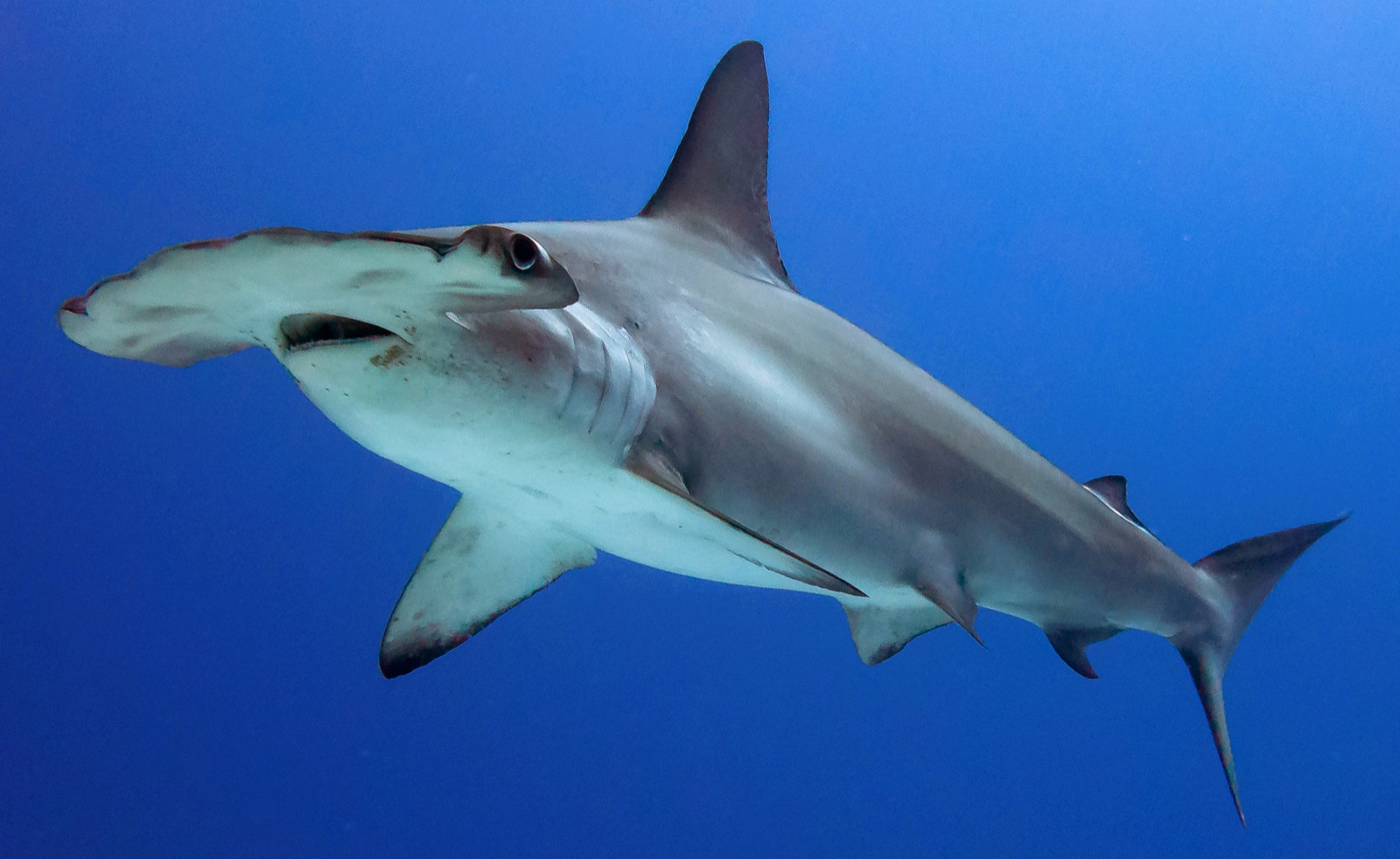
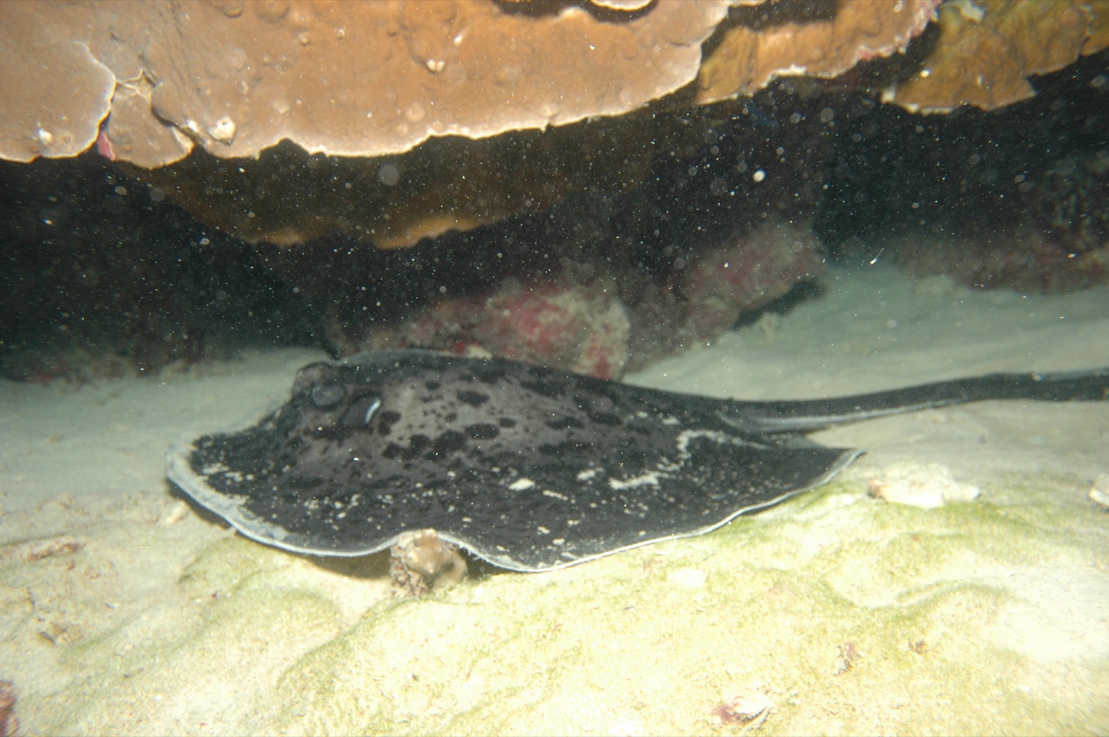
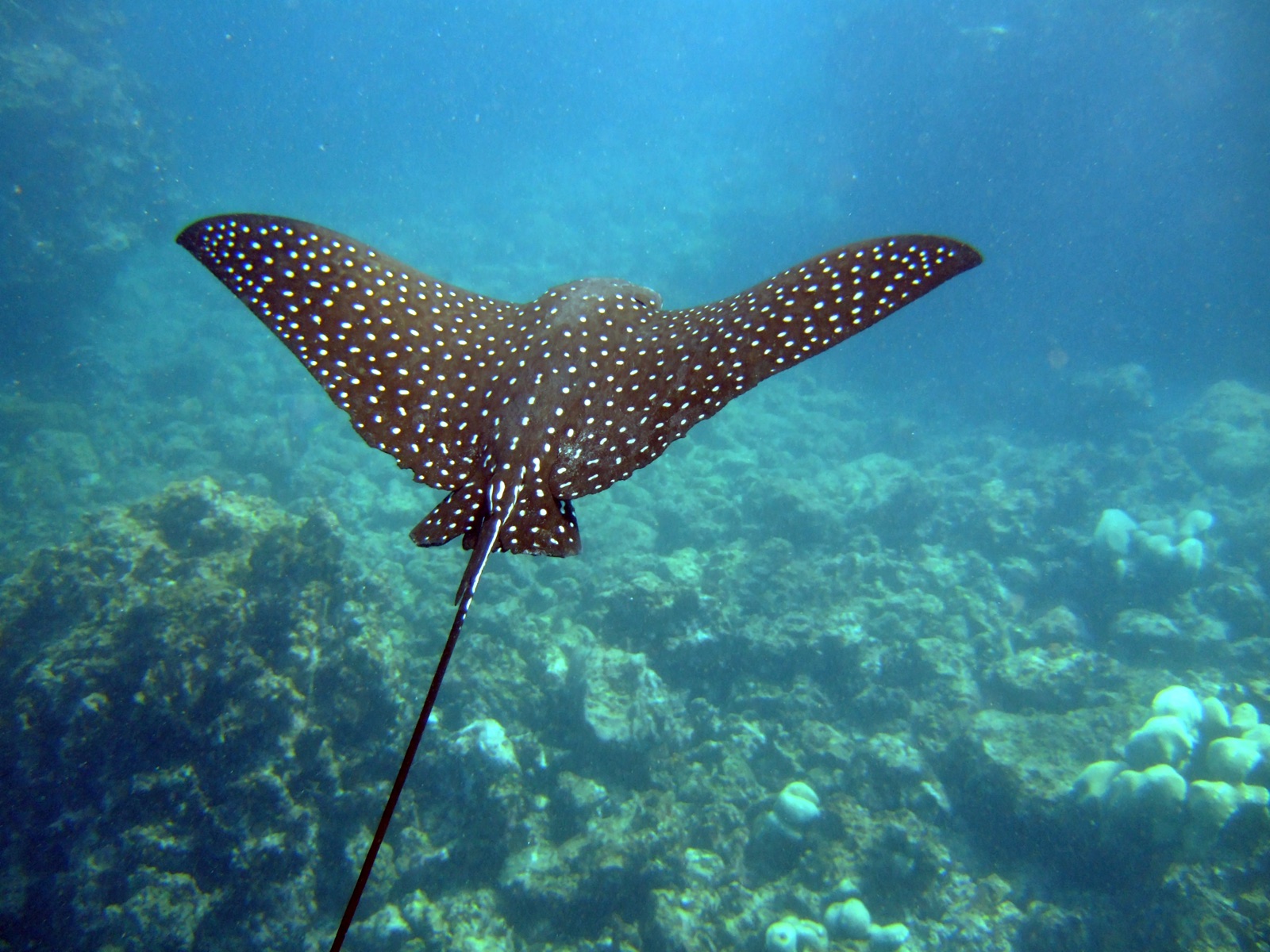
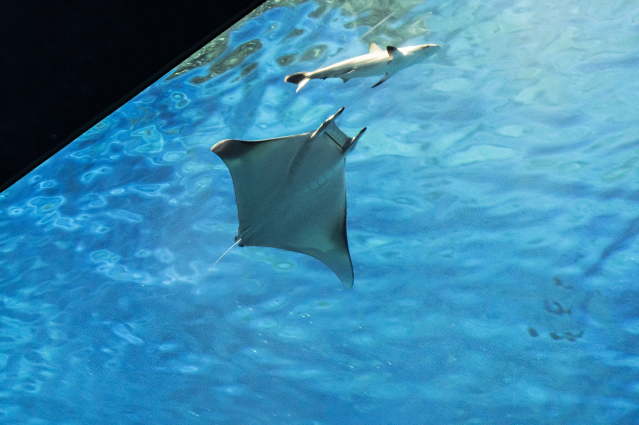
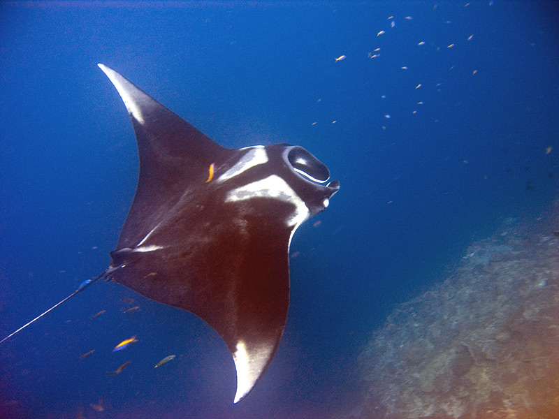
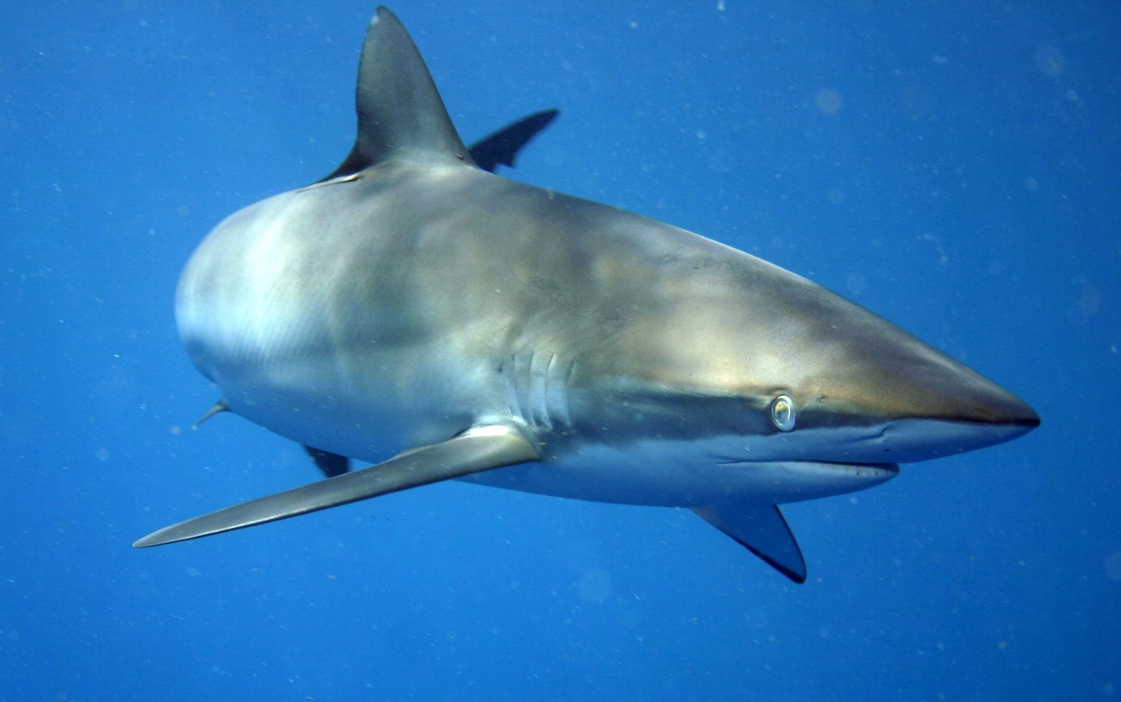
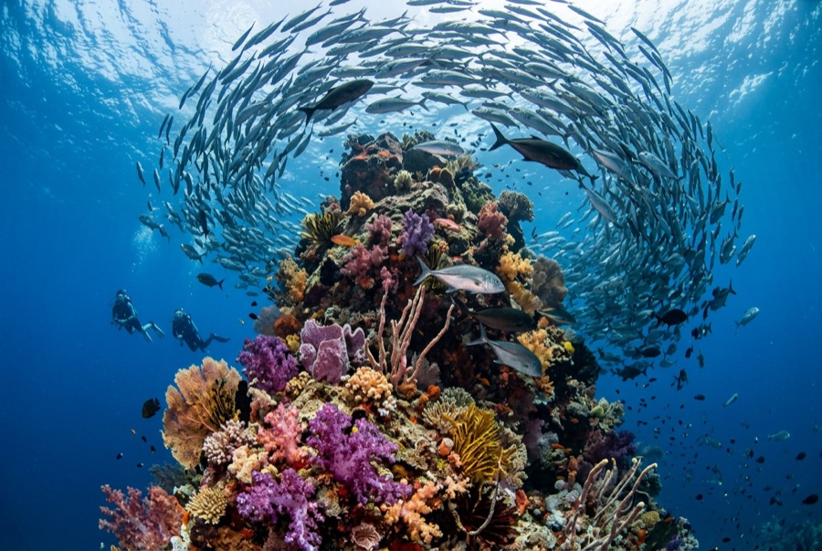
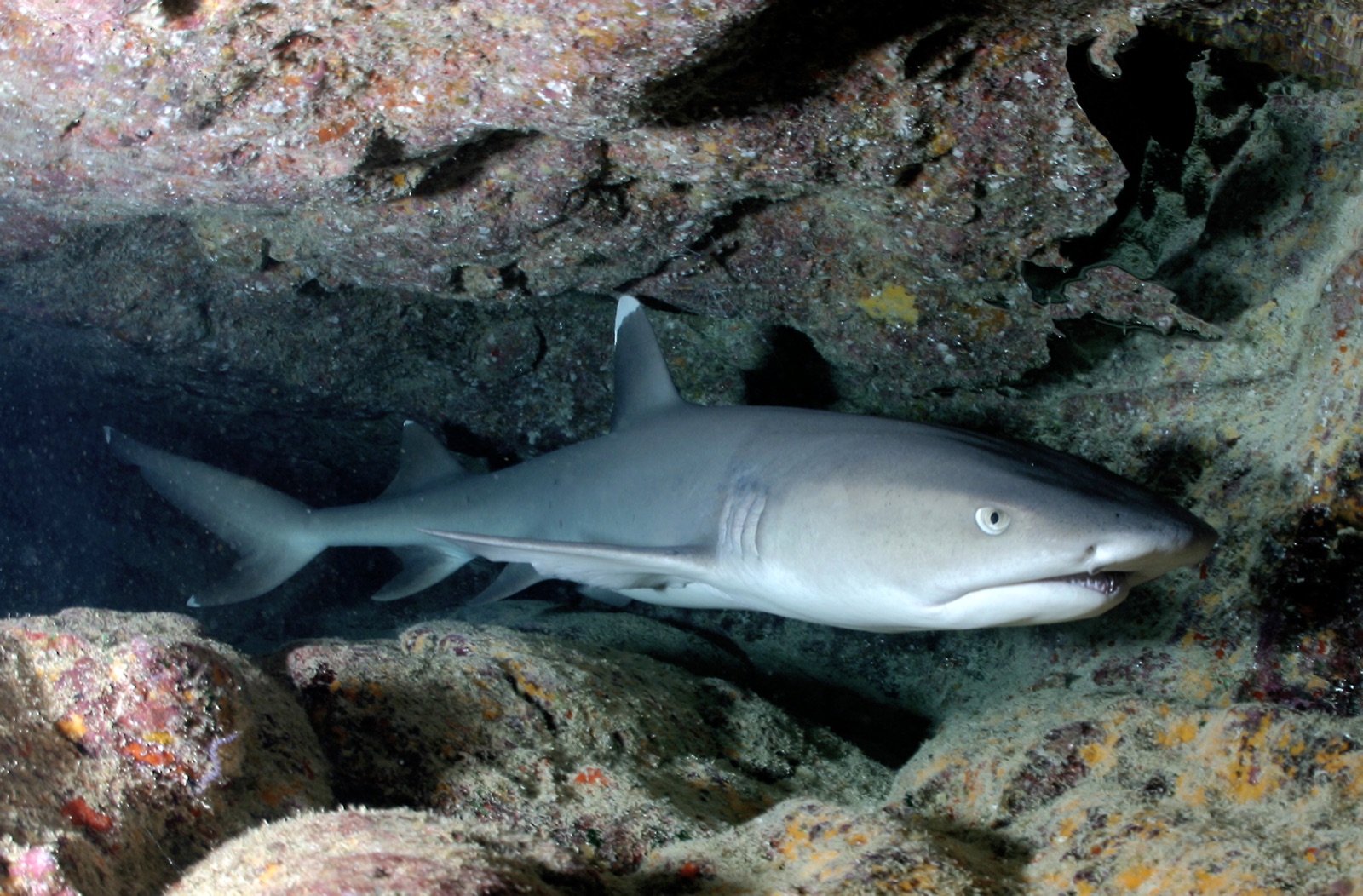
Submerged Rock never breaks the surface - the swell marks it with a boil on big days - and its underwater profile is a gift: a pinnacle drilled clean through by a swim-through at around 15-18 m, lined with encrusting color and packed with fish waiting out the current. Whitetips stack inside the tunnel and under every overhang, eagle rays and marbled rays orbit the base, and hammerheads make wider circuits out in the blue. Because the interesting depth band is shallower than at the marquee seamounts, it often serves as a second or third dive that ends up out-delivering the first.

Le moment pour lequel vous venez: The swim-through, dense whitetips, rays orbiting a tower of rock

Topographie: Pinnacle rising to just below the surface, pierced by a swim-through

Courant: More forgiving than the outer seamounts, though swell finds it easily.

À savoir avant de plonger

Dangers: Surge in and around the swim-through; keep the tunnel passage brief and orderly.

Nitrox: Intéressant ici — les profils se situent dans la plage où le nitrox prolonge significativement le temps sans palier (avec la formation pour l'utiliser).

Qui vous croiserez
Pour les photographes

Grand angle: ★★★★☆ · Macro: ★★☆☆☆ — note 1–5 des éditeurs sur ce que ce site offre à chaque style de prise de vue

Australie, Nouvelle-Zélande & Asie de l'Est

Cairns & the Ribbon ReefsNingaloo ReefCoral Sea & Osprey ReefOkinawa & the Kerama IslandsPoor Knights IslandsTownsville & the YongalaGreen IslandIzu Peninsula

Caraïbes & Atlantique occidental

BonaireCozumelRiviera Maya & the CenotesBelize Barrier ReefGrand CaymanIsla Mujeres & CancúnRoatánTiger Beach & Grand Bahama

Europe, Atlantique & Méditerranée

Malta & GozoSilfra & IcelandThe AzoresCanary IslandsLarnaca & the ZenobiaScapa FlowArctic NorwayMadeira

Océan Indien & Afrique de l'Est

North & South Malé AtollsAri AtollBaa Atoll & Hanifaru BayAliwal Shoal & UmkomaasMafia IslandMauritiusSeychellesSodwana Bay

Îles du Pacifique & Micronésie

PalauChuuk (Truk) LagoonFakaravaKona, HawaiʻiRangiroaTaveuni & Rainbow ReefBeqa Lagoon & Pacific HarbourEspiritu Santo

Mer Rouge & Moyen-Orient

Sharm El Sheikh & Ras MohammedBrothers, Daedalus & St John'sDahabHurghada & El GounaMarsa Alam & the Deep SouthAqabaDaymaniyat IslandsMusandam Peninsula

Asie du Sud-Est et Triangle de Corail

Bali & Nusa PenidaKomodoRaja AmpatSipadan & MabulAnilaoCoronKoh TaoLembeh Strait

Les Amériques et Pacifique Est

Galápagos IslandsCocos IslandFlorida KeysSea of Cortez & Cabo PulmoSocorro & the RevillagigedosBritish ColumbiaCalifornia Channel IslandsCosta Rica Pacific Coast