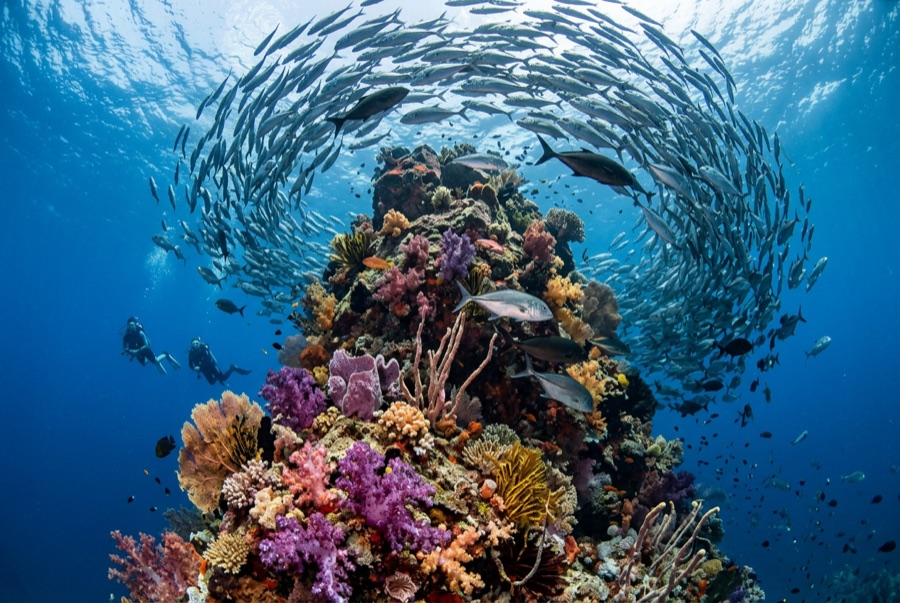
Catalina Islands
La profundidad es el rango desde la cima del punto de buceo hasta su máximo habitual; la "certificación recomendada" es el nivel que los operadores suelen pedir según las agencias principales, no una norma legal. Las corrientes y la visibilidad cambian a diario, así que trata todo esto como rangos de planificación.
The Catalinas are a scatter of bare volcanic rocks a short run from the Flamingo and Tamarindo beaches, and they run on rays. Cool upwelled water from roughly November through May brings the headliners: giant Pacific mantas that wheel over the cleaning rocks, wingtips brushing the thermocline, along with mobulas in strings and spotted eagle rays in squadrons that can pass twenty strong. Whitetips nap under every ledge, octopus and morays fill the cracks, and the green, plankton-thick water that limits the view is precisely what sets the table. When a manta emerges from that murk, close and sudden, the site's reputation explains itself.
El momento por el que vienes: Giant mantas in the cool months, eagle ray squadrons, easy logistics from Guanacaste's beach towns
Topografía: Volcanic rock stacks, arches, and rubble slopes
Corriente: Papagayo-season flow feeds the site; drift-style dives around the rocks are standard.
Lo que debes saber antes de tirarte al agua
Riesgos: Surge around the stacks, seasonal wind chop, plankton-limited visibility.
Conservación: Give mantas the right of way and never chase - encounters here depend on the animals choosing to stay.
A quién encontrarás
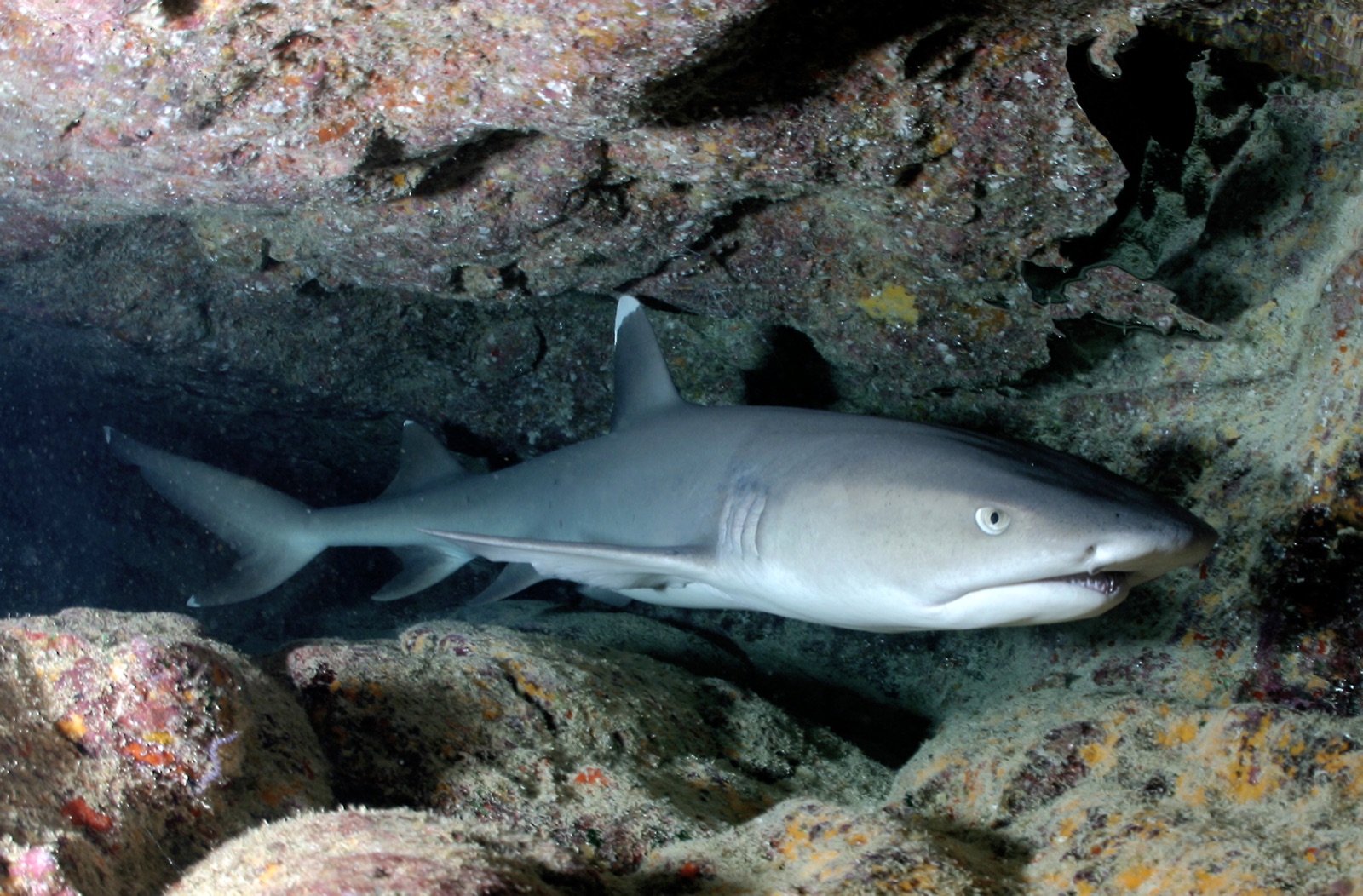
Whitetip Reef Shark
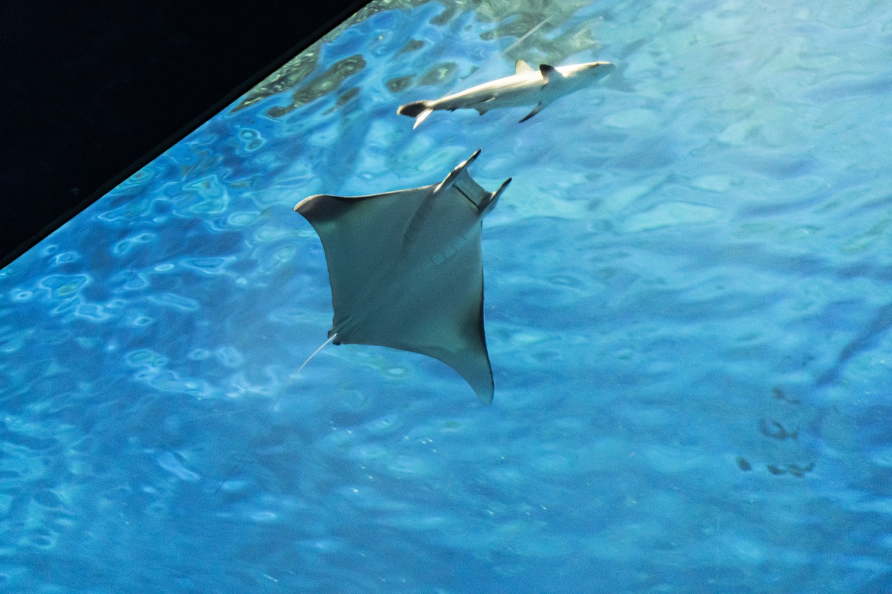
Mobula (Devil) Ray
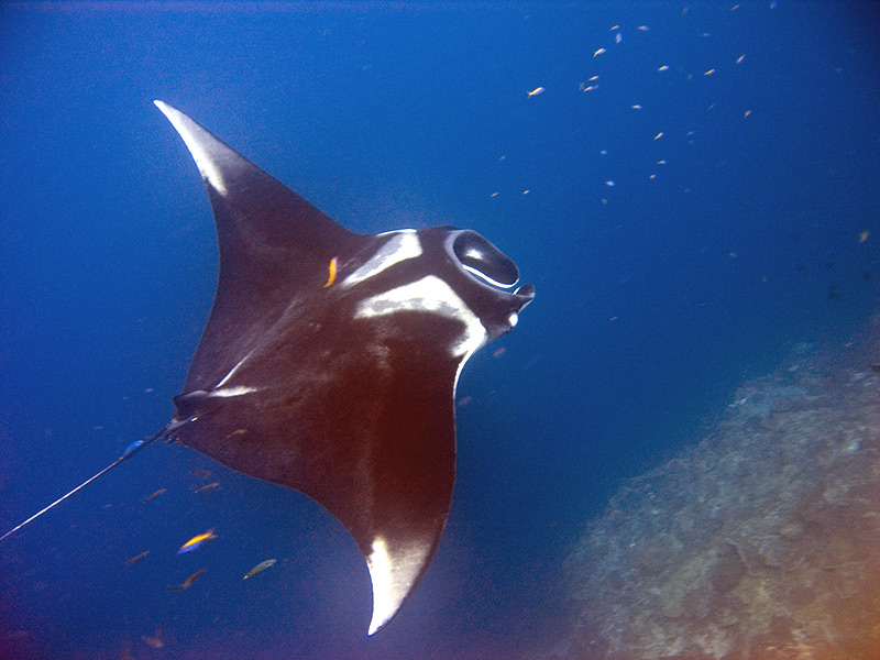
Oceanic Manta Ray
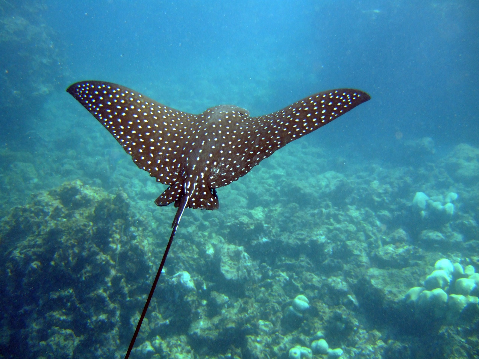
Spotted Eagle Ray
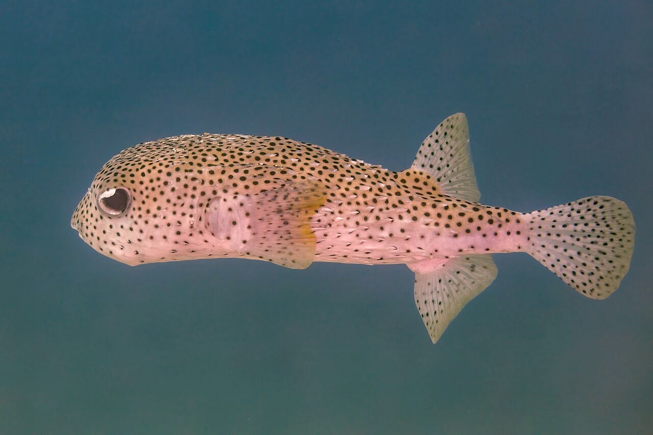
Porcupinefish
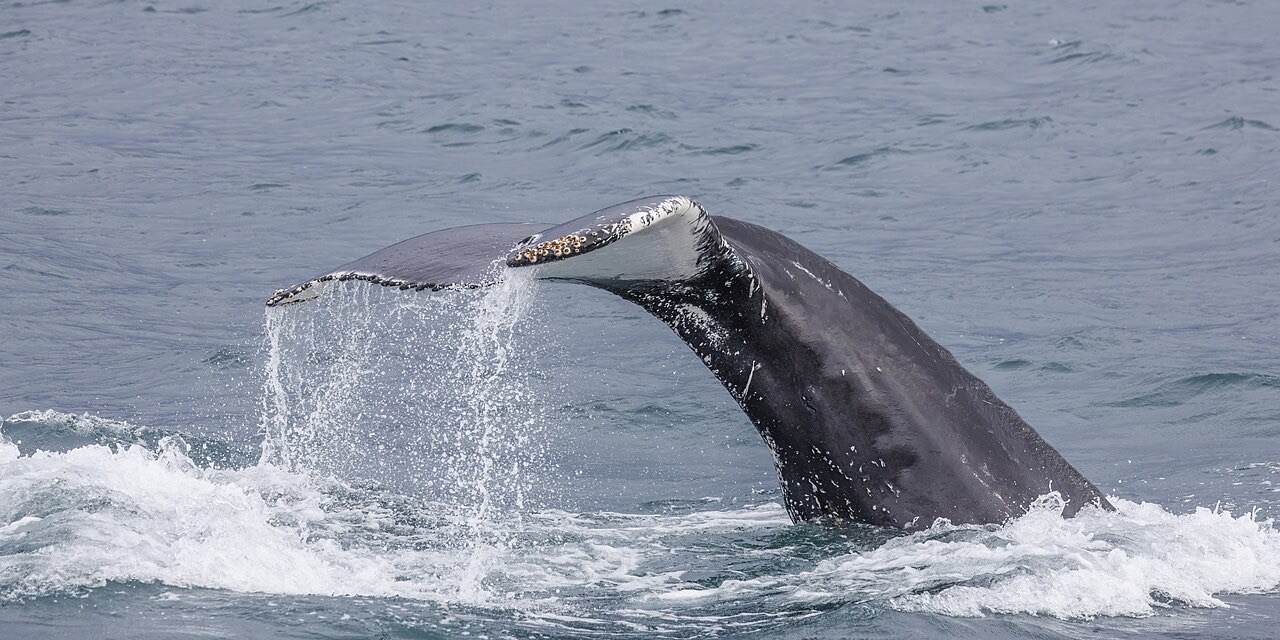
Humpback Whale

Nudibranchs
Las especies "aquí registradas" fueron añadidas por nuestros editores a partir de las fuentes de esta página. Los recuentos son registros de ocurrencia de GBIF: observaciones anotadas en un radio de unos 5 km de la posición registrada desde 1990, cotejadas únicamente con las especies de nuestro catálogo. Muestran lo que se ha avistado allí, no una garantía de lo que verás.
Para fotógrafos
Gran angular: ★★★★☆ · Macro: ★★☆☆☆ (valoración de 1 a 5 de los editores sobre lo que ofrece este sitio para cada estilo de fotografía)