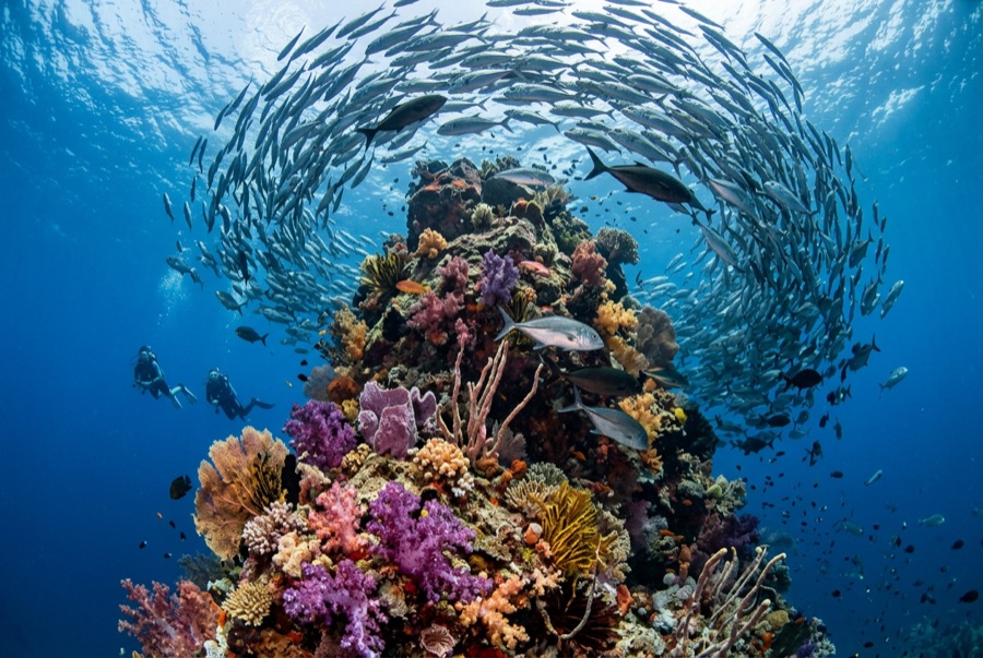
Catalina Islands
La profondeur correspond à la plage allant du sommet du site jusqu'à son maximum habituel ; le « niveau recommandé » est le niveau demandé en général par les opérateurs auprès des grandes agences, pas une règle légale. Les courants et la visibilité varient chaque jour, traitez donc tout cela comme des plages indicatives de planification.
The Catalinas are a scatter of bare volcanic rocks a short run from the Flamingo and Tamarindo beaches, and they run on rays. Cool upwelled water from roughly November through May brings the headliners: giant Pacific mantas that wheel over the cleaning rocks, wingtips brushing the thermocline, along with mobulas in strings and spotted eagle rays in squadrons that can pass twenty strong. Whitetips nap under every ledge, octopus and morays fill the cracks, and the green, plankton-thick water that limits the view is precisely what sets the table. When a manta emerges from that murk, close and sudden, the site's reputation explains itself.
Le moment pour lequel vous venez: Giant mantas in the cool months, eagle ray squadrons, easy logistics from Guanacaste's beach towns
Topographie: Volcanic rock stacks, arches, and rubble slopes
Courant: Papagayo-season flow feeds the site; drift-style dives around the rocks are standard.
À savoir avant de plonger
Dangers: Surge around the stacks, seasonal wind chop, plankton-limited visibility.
Conservation: Give mantas the right of way and never chase - encounters here depend on the animals choosing to stay.
Qui vous croiserez
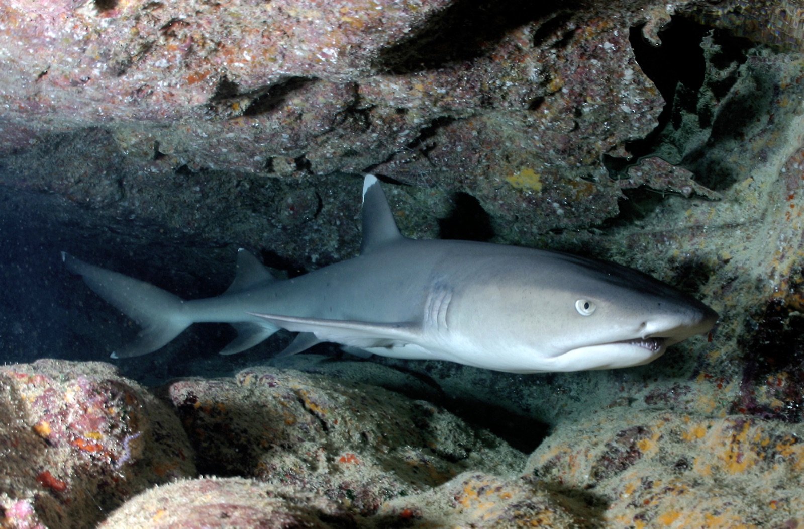
Whitetip Reef Shark
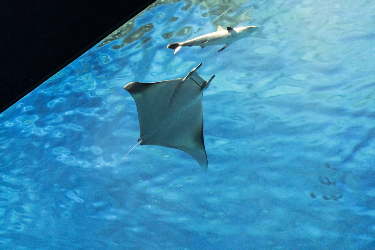
Mobula (Devil) Ray
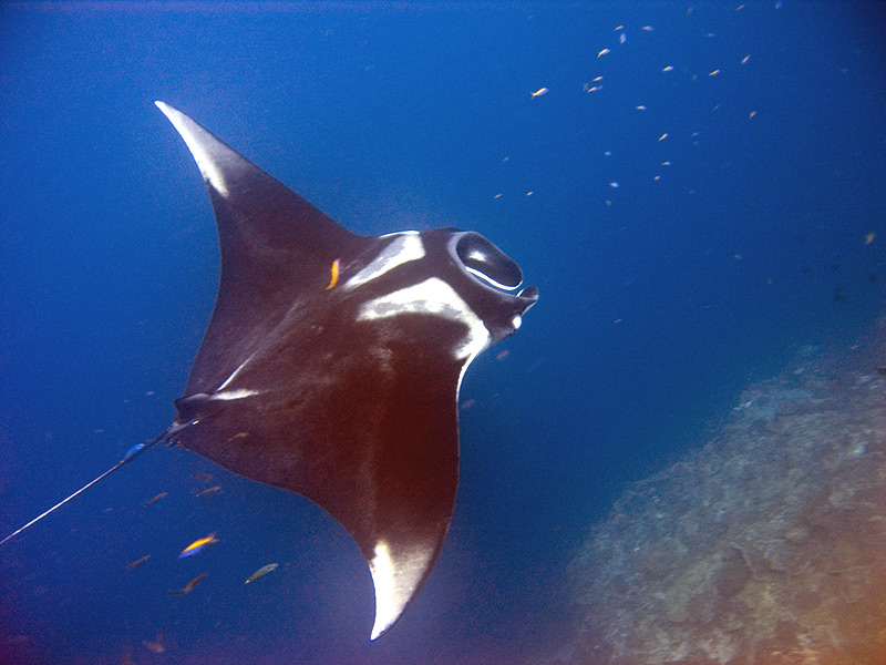
Oceanic Manta Ray
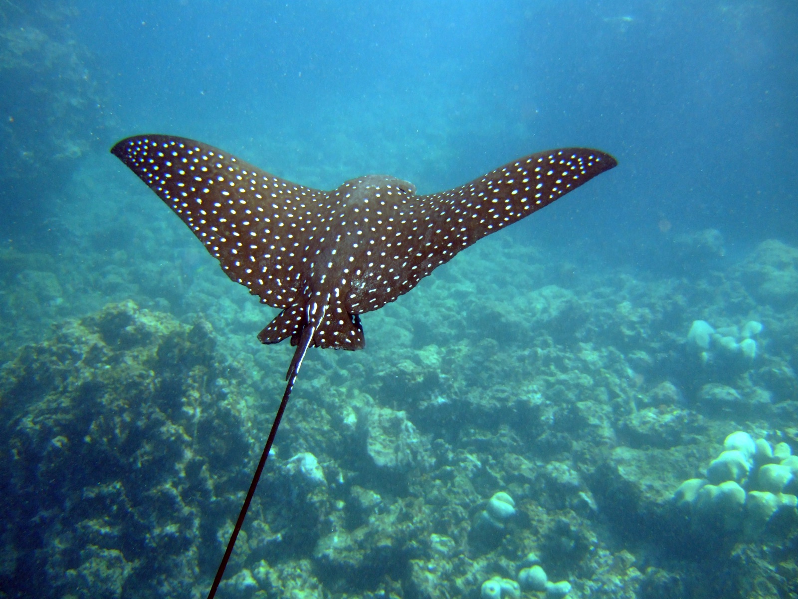
Spotted Eagle Ray
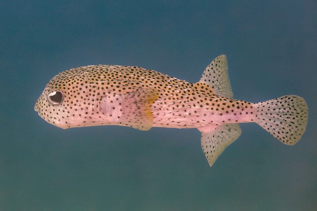
Porcupinefish
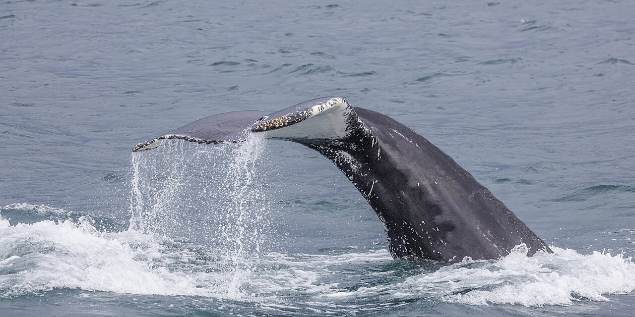
Humpback Whale

Nudibranchs
Les espèces « cartographiées ici » ont été répertoriées par nos éditeurs à partir des sources indiquées sur cette page. Les comptages correspondent aux occurrences GBIF : observations enregistrées dans un rayon d'environ 5 km autour de la position cartographiée depuis 1990, comparées uniquement aux espèces de notre catalogue. Ils indiquent ce qui a été observé à cet endroit, sans garantir ce que vous y verrez.
Pour les photographes
Grand angle: ★★★★☆ · Macro: ★★☆☆☆ (note 1–5 des éditeurs sur ce que ce site offre à chaque style de prise de vue)